|
Llangathen
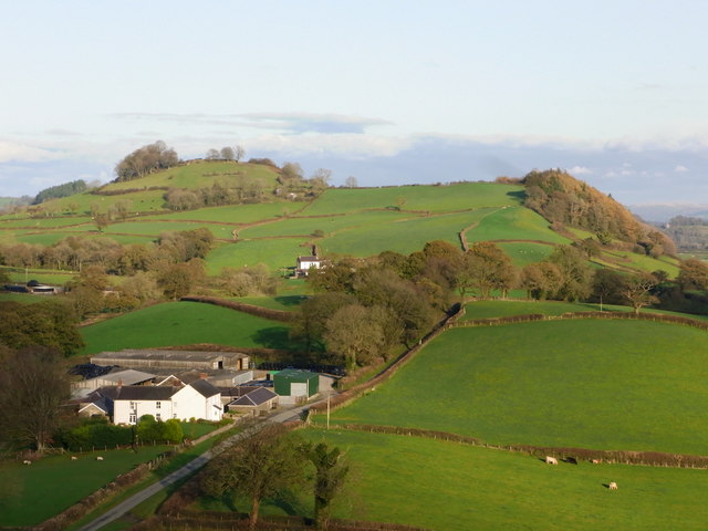
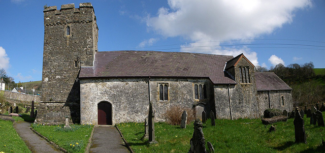
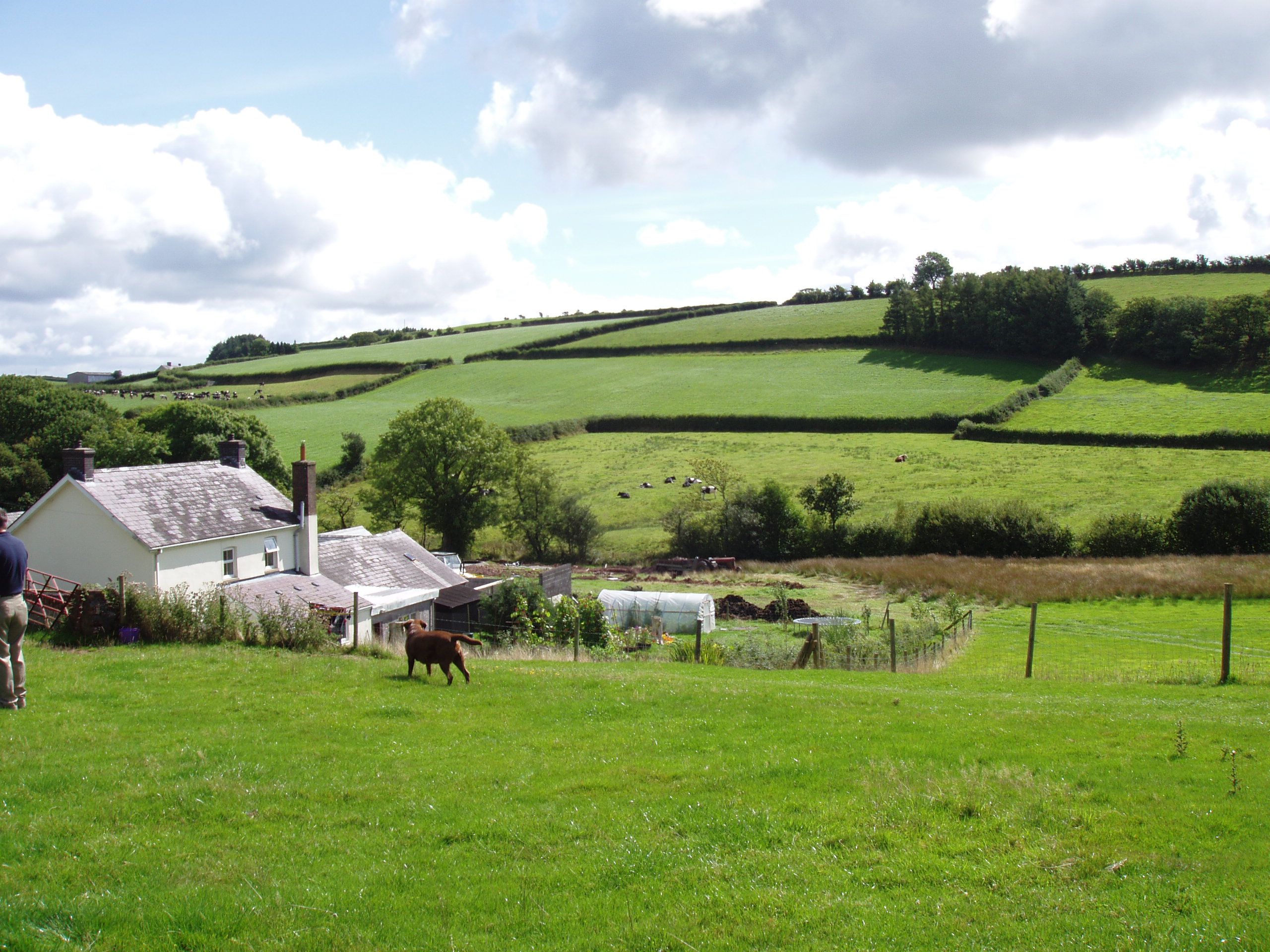
Llangathen () is a community located in Carmarthenshire, Wales. The population taken at the 2011 census was 507. The parish church of St Cathen is a Grade II* listed building and houses the tomb of Anthony Rudd, an Elizabethan Bishop of St David's who owned Aberglasney House and developed its gardens in the late 16th century. The churchyard has some ancient yew trees. Within the parish is the country house and garden of Aberglasney, also a Grade II* listed building, which once belonged to the Dyer family. It lies at the foot of Grongar Hill, the celebrated subject of a poem by John Dyer published in 1726. The community is also home of Dryslwyn Castle. The community is bordered by the communities of: Manordeilo and Salem; Llandeilo; Llanfihangel Aberbythych; Llanarthney; Llanegwad; and Llanfynydd, all being in Carmarthenshire. Allt y wern, a broadleaf woodland and Site of Special Scientific Interest A Site of Special Scientific Interest (SSSI) in Great Britain or an ... [...More Info...] [...Related Items...] OR: [Wikipedia] [Google] [Baidu] |
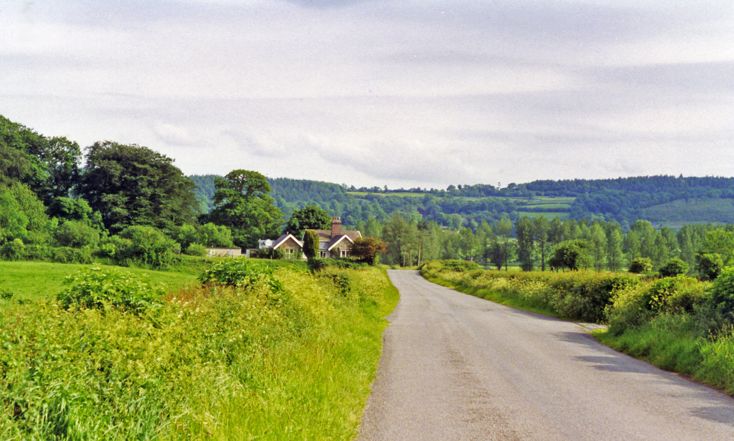
Llangathen Geograph-3565441-by-Ben-Brooksbank
Llangathen () is a Community (Wales), community located in Carmarthenshire, Wales. The population taken at the United Kingdom Census 2011, 2011 census was 507. The parish church of St Cathen is a Grade II* listed building and houses the tomb of Anthony Rudd, an Elizabethan era, Elizabethan Bishop of St David's who owned Aberglasney House and developed its gardens in the late 16th century. The churchyard has some ancient yew trees. Within the parish is the country house and garden of Aberglasney, also a Grade II* listed building, which once belonged to the Dyer family. It lies at the foot of Grongar Hill, the celebrated subject of a poem by John Dyer published in 1726. The community is also home of Dryslwyn Castle. The community is bordered by the communities of: Manordeilo and Salem; Llandeilo; Llanfihangel Aberbythych; Llanarthney; Llanegwad; and Llanfynydd, all being in Carmarthenshire. Allt y wern, a broadleaf woodland and Site of Special Scientific Interest (SSSI) is to the ... [...More Info...] [...Related Items...] OR: [Wikipedia] [Google] [Baidu] |
Aberglasney
Aberglasney House and Gardens is a medieval house and gardens set in the Tywi valley in the parish of Llangathen, Carmarthenshire, West Wales. It is owned and run by Aberglasney Restoration Trust, a registered charity. It is a Grade II* listed building. Location Aberglasney is located just off the busy A40 road between Llandeilo and Carmarthen town, from Llandeilo. History The site was owned for ten generations of a family which by tradition could trace its origins to Elystan Glodrydd "Prince between Wye and Severn," and Gwenllian, granddaughter of Hywel Dda. After the triumphant return of Henry Tudor at the Battle of Bosworth, then owner William ap Thomas who was knighted by the king for his service, gained formal responsibilities in both North and South Wales, and decided to move permanently north to Coed Helen on the North Wales coast. He sold what was then known as Llys Wen to members of the Rudd family sometime around 1600. Funded by the recently appointed Anth ... [...More Info...] [...Related Items...] OR: [Wikipedia] [Google] [Baidu] |
Anthony Rudd
Anthony Rudd (c.1549 – 1615) was a Welsh bishop. Life He graduated B.A. from Trinity College, Cambridge in 1567, and M.A. in 1570. He became Dean of Gloucester in 1584, and Bishop of St. David's in 1594. In 1596 he preached a celebrated sermon before Elizabeth I at Richmond Palace, in which he made extensive allusions to her approaching old age (she was 63 in 1596, and he made play of this as the astrology, on his text “O teach us to number our days”) and physical signs of it. Thomas Fuller in his ''Church History of Britain'' claims that this sermon, and a later one in 1602, offended the Queen, one of his sources being Sir John Harrington's account. Anecdotally John Whitgift is supposed to have led Rudd on to preach plainly, and Rudd lost the succession as Archbishop of Canterbury by so doing, but Whitgift survived Elizabeth in any case. He attended the Hampton Court Conference of 1604; he was sympathetic to Puritanism. He is buried in the church at Llangathen, where h ... [...More Info...] [...Related Items...] OR: [Wikipedia] [Google] [Baidu] |
Allt Y Wern
Allt y Wern is a Site of Special Scientific Interest, Site of Special Scientific Interest (SSSI) in the community (Wales), community of Llangathen in Carmarthenshire, Wales. The site is a semi-natural broadleaved woodland with an area of . Site Allt y Wern lies to the south-west of the village of Llangathen and is near the River Tywi. The site was designated in 1973 and comprises of woodland of oak (''Quercus robur'') many of which are at least 200 years old, ash (''Fraxinus excelsior'') and hazel (''Corylus avellana''), with species-rich shrub and ground layers. The site also includes streams and wet flush areas (an area of soil where nutrients accumulate due to the inflow of water). Importance Allt y Wern's main feature is the semi-natural broadleaved woodland, but the diversity of habitats make the site important for red kites (''Milvus milvus''), thin-spiked wood-sedge (''Carex strigosa''), and mosses and lichens.. The site was managed by coppice-with-standards but the practi ... [...More Info...] [...Related Items...] OR: [Wikipedia] [Google] [Baidu] |
Grongar Hill
Grongar Hill is located in the Welsh county of Carmarthenshire and was the subject of a loco-descriptive poem by John Dyer. Published in two versions in 1726, during the Augustan period, its celebration of the individual experience of the landscape makes it a precursor of Romanticism. As a prospect poem, it has been the subject of continuing debate over how far it meets artistic canons. The location The hill lies in the parish of Llangathen and rises abruptly not far from the River Tywi. The Ordnance Survey reference is SN573215 / Sheet: 159 and the co-ordinates are latitude 51° 52' 23.85" N and longitude 4° 4' 23.17" W. Its name derives from the Iron Age hillfort on its summit, in Welsh ''gron gaer'' (circular fort). At the hill's foot is the restored mansion of Aberglasney that once belonged to John Dyer's family and where he grew up from 1710. The area was important during the Mediaeval period of Welsh independence and from the 150 metre summit of the hill the ruins of sev ... [...More Info...] [...Related Items...] OR: [Wikipedia] [Google] [Baidu] |
Manordeilo And Salem
Manordeilo and Salem ( cy, Maenordeilo a Salem) is a community located in Carmarthenshire, Wales. The population taken at the 2011 census was 1,754. The community is bordered by the communities of: Talley; Llansadwrn; Llangadog; Dyffryn Cennen; Llandeilo; Llangathen; and Llanfynydd, all being in Carmarthenshire. Villages include Manordeilo, , Halfway, Cwmifor and Capel Isaac. Governance An electoral ward in the same name exists. This ward stretches north to Talley Talley ( cy, Talyllychau, historically cy, Tal y Llychau, label=none) is a community and small village in Carmarthenshire, Wales.The population taken at the 2011 census was 494. The community is bordered by the communities of: Llansawel; Cy ... with a total population, again taken at the 2011 census, of 2,248. References External linksCommunity council website Communities in Carmarthenshire Carmarthenshire electoral wards {{Carmarthenshire-geo-stub ... [...More Info...] [...Related Items...] OR: [Wikipedia] [Google] [Baidu] |
Llanfynydd
Llanfynydd is a village, parish and community in Carmarthenshire, Wales. The community population at the 2011 census was 499. It lies some 10 miles (16 km) north-east of the county town, Carmarthen. Bordering it are the communities of Llansawel, Talley, Manordeilo and Salem, Llangathen, Llanegwad and Llanfihangel Rhos-y-Corn, all in Carmarthenshire. Heritage The Church in Wales parish church is a Grade II* listed building dedicated to St Egwad, a 7th-century bishop in Wales. The tower, probably the earliest part, dates from about 1400. The north aisle was added in the 16th century. The building was restored in 1861, when further windows were added. The only indication of a previous church further up the valley is in the name of a farm: Bryn-Yr-Eglwys ("Hill of the Church"). In 1844 Llanfynydd was a parish of 11,000 acres and 1,358 inhabitants in Cathinog Hundred. By 1929 the population was down to 581. Worship Parish registers exist from 1692. The parish also has several cha ... [...More Info...] [...Related Items...] OR: [Wikipedia] [Google] [Baidu] |
Llanegwad
Llanegwad () is a community located in Carmarthenshire, Wales. The population taken at the 2011 census was 1,473. Llanegwad is built up mainly of small farms and detached homes. The community is bordered by the communities of: Llanfihangel Rhos-y-Corn; Llanfynydd; Llangathen; Llanarthney; Abergwili; and Llanllawddog, all being in Carmarthenshire. Villages include Cwrt Henri, Nantgaredig, and Pontargothi. Services Most of all homes located in Llanegwad are older Victorian properties, as well as a number of more modern homes. The area has few amenities any more.The village has lost much of the services it once had, an example being Llanegwad School; formerly "Llanegwad National School" closing down in 1948. The area over the years has also lost its drinking establishments. Churches The village “Llanegwad Church" named for Saint Egwad is an historic church as it is the only remaining building on the site where several monasteries and religious cells once existed. The build ... [...More Info...] [...Related Items...] OR: [Wikipedia] [Google] [Baidu] |
Llanarthney
Llanarthney ( cy, Llanarthne; ) is a village and community in Carmarthenshire, south-west Wales. Situated on the B4300 road 12 km (7.5 miles) east of Carmarthen and 10 km (6 miles) west of Llandeilo, the community had a population at the 2001 census of 738, of whom 61 per cent were Welsh-speaking. At the 2011 Census the population had increased slightly to 765. Llanarthney is bordered (clockwise from the north) by the Carmarthenshire communities of Llanegwad, Llangathen, Llanfihangel Aberbythych, Gorslas, Llanddarog, Llangunnor, and Abergwili. Amenities Llanarthney has been home to the National Botanic Garden of Wales The National Botanic Garden of Wales ( cy, Gardd Fotaneg Genedlaethol Cymru) is a botanical garden located in Llanarthney in the River Tywi valley, Carmarthenshire, Wales. The garden is both a visitor attraction and a centre for botanical rese ... since 2000. Llanarthney Village Hall References External linkswww.geograph.co.uk : photos of Llanarthne ... [...More Info...] [...Related Items...] OR: [Wikipedia] [Google] [Baidu] |
Llanfihangel Aberbythych
Llanfihangel Aberbythych is a Community (Wales), community in Carmarthenshire, Wales. The population recorded at the United Kingdom Census 2011, 2011 census was 1,344. It is bordered by Llangathen, Llandeilo, Dyffryn Cennen, Llandybie, Gorslas and Llanarthney, all of which are in Carmarthenshire. There is no village of Llanfihangel Aberbythych – the name is taken from St Michael's Church, which dates from 1849, at Golden Grove, Carmarthenshire, Golden Grove (Welsh: Gelli Aur), about 3 miles (5 km) south-west of Llandeilo. It now belongs to the Church in Wales parish of Cathinog Hundred, Catheiniog. Villages include Carmel, Carmarthenshire, Carmel and Maesybont. Governance An Wards and electoral divisions of the United Kingdom, electoral ward of Carmarthenshire County Council with the same name exists. This stretches north from the village and holds a total population of 1,851. Notable person *Sir William Vaughan (writer), William Vaughan (c. 1575 – August 1641) was a wr ... [...More Info...] [...Related Items...] OR: [Wikipedia] [Google] [Baidu] |
Llandeilo
Llandeilo () is a town and community in Carmarthenshire, Wales, situated at the crossing of the River Towy by the A483 on a 19th-century stone bridge. Its population was 1,795 at the 2011 Census. It is adjacent to the westernmost point of the Brecon Beacons National Park. The town is served by Llandeilo railway station on the Heart of Wales Line. In 2021, ''The Sunday Times'' called the town one of the top six places to live in Wales. The newspaper praised the town as a ‘sophisticated shopping destination and a great showcase for local arts and crafts’. Early history Roman soldiers were active in the area around Llandeilo around AD74, as evidenced by the foundations of two castra discovered on the grounds of the Dinefwr estate. The fortifications measured 3.85 hectares and 1.54 hectares, respectively. Roman roads linked Llandeilo with Llandovery and Carmarthen. A small civil settlement developed outside the gates of the fort and may have continued in use as the embryonic ... [...More Info...] [...Related Items...] OR: [Wikipedia] [Google] [Baidu] |
Dryslwyn Castle
Dryslwyn Castle ( cy, Castell y Drysllwyn) is a native Welsh castle, sited on a rocky hill roughly halfway between Llandeilo and Carmarthen in Wales. It stands on high ground overlooking the Tywi Valley with extensive views. It was built in about the 1220s by one of the princes of the kingdom of Deheubarth, and changed hands several times in the struggles between the Welsh and English over the ensuing centuries. It is considered one of the most important remaining structures built by a Welsh chieftain and is a Grade I listed building. Castle of Deheubarth Perched on the top of an isolated, rocky hill above the Towy Valley, Dryslwyn Castle occupies a splendid defensive position. It may occupy a spot previously used in as a fortification in prehistoric times but no evidence has been found to support this theory. In the twelfth century, Rhys ap Gruffydd, often known as "Lord Rhys", reigned over the kingdom of Deheubarth and brought it a period of peace and stability. On his death i ... [...More Info...] [...Related Items...] OR: [Wikipedia] [Google] [Baidu] |


