|
Little Staughton
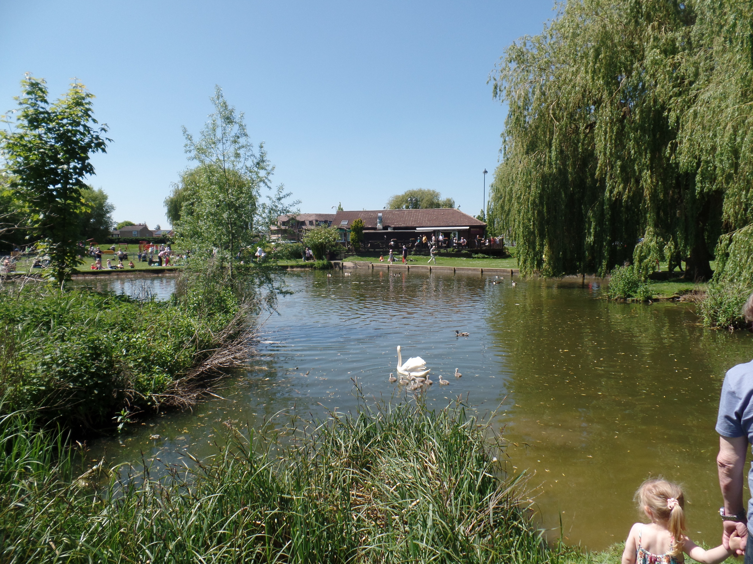
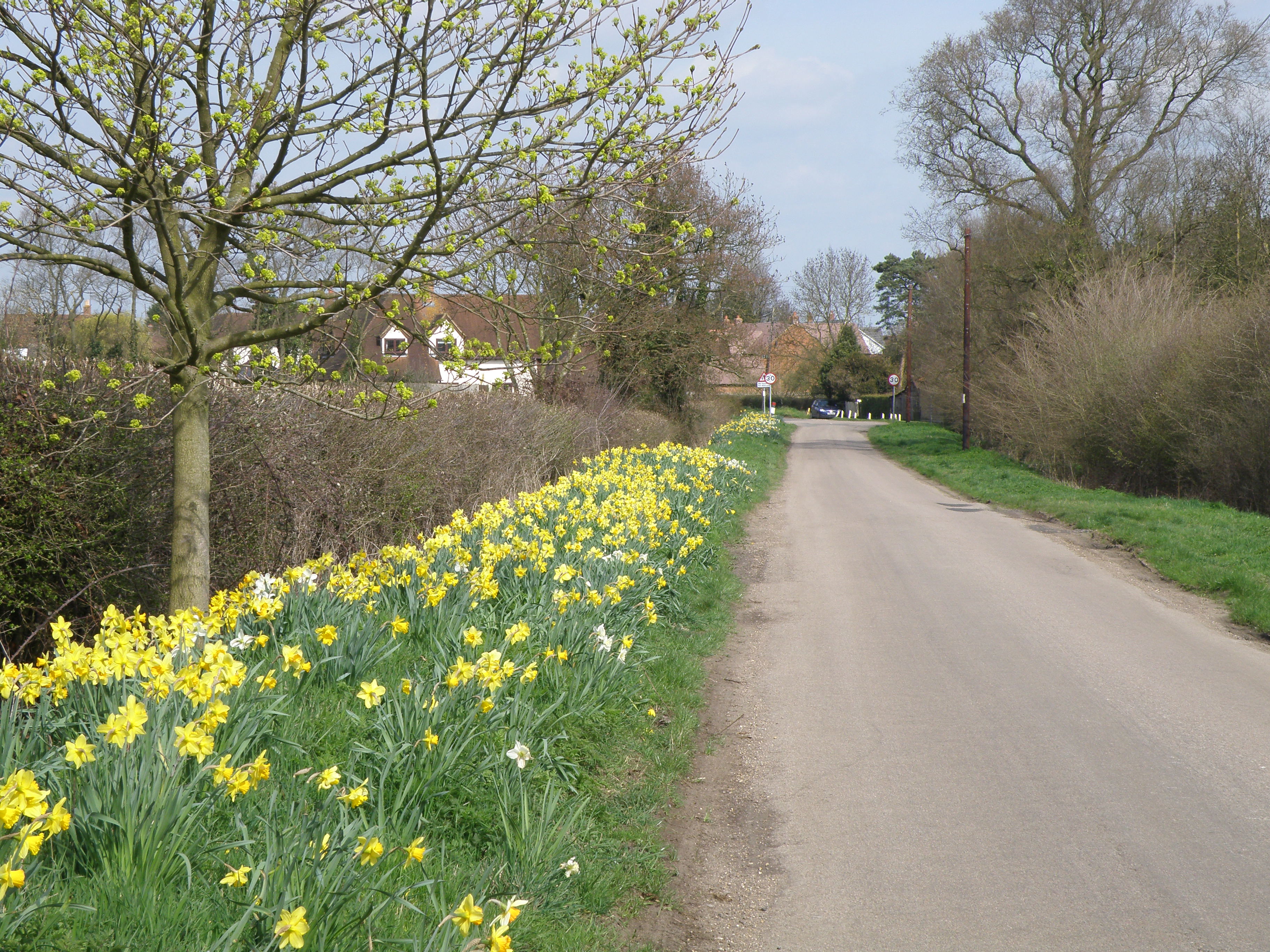
Little Staughton is a small village and civil parish located in the north of Bedfordshire. The parish church, All Saints, is set apart from the present village – the previous village having been abandoned following an outbreak of the Bubonic plague. History Little Staughton, known at the beginning of the 11th century as ''Stoctun'' from the old english meaning "farmstead at an outlying hamlet". It was referred to in the Doomsday book simply as ''Staughton'', although it does not refer to any taxes being collected in the area. However, by the time of the Hearth tax return in 1671, there were approximately 250 individuals living there. The population rose to a peak of 572 in 1861, then fell due to 218 by 1951, due to the industrial revolution and two World Wars Church The Church of All Saints, previously dedicated to St Margaret's, originally had a spire that was destroyed by lightning. The building has been Grade I listed since 1964. RAF Little Staughton During World War II ... [...More Info...] [...Related Items...] OR: [Wikipedia] [Google] [Baidu] |
Borough Of Bedford
The Borough of Bedford is a unitary authority area with borough status in the ceremonial county of Bedfordshire, England. Its council is based in Bedford, its namesake and principal settlement, which is the county town of Bedfordshire. The borough contains one large urban area, the 71st largest in the United Kingdom that comprises Bedford and the adjacent town of Kempston, surrounded by a rural area with many villages. 75% of the borough's population live in the Bedford Urban Area and the five large villages which surround it, which makes up slightly less than 6% of the total land area of the Borough. The borough is also the location of the Wixams new town development, which received its first residents in 2009. Formation The ancient borough of Bedford was a borough by prescription, with its original date of incorporation unknown. The earliest surviving charter was issued c. 1166 by Henry II, confirming to the borough the liberties and customs which it had held in the reign ... [...More Info...] [...Related Items...] OR: [Wikipedia] [Google] [Baidu] |
St Neots
St NeotsPronunciation of the town name: Most commonly, but variations that ''saint'' is said as in most English non-georeferencing speech, the ''t'' is by a small minority of the British pronounced and higher traces of in the final syllable of the town's name are common. is a town in the Huntingdonshire district of Cambridgeshire, England. It lies about north of London and about west of Cambridge. The districts of Eynesbury, Cambridgeshire, Eynesbury, Eaton Ford and Eaton Socon were formerly independent but nowadays are considered merged into St Neots. The town is close to the intersection of the A1 road (Great Britain), A1 road (north-south) the A421 / A428 roads which link Cambridge to Bedford and Milton Keynes on an east to west axis. St Neots has a railway station on the East Coast Main Line with typically half-hourly services to Peterborough, Stevenage and London. The River Great Ouse runs through the town. St Neots is estimated to have a population of 36,110 (foreca ... [...More Info...] [...Related Items...] OR: [Wikipedia] [Google] [Baidu] |
Riseley, Bedfordshire
Riseley is a village and civil parish located in North Bedfordshire, England. The village name has had alternative spellings in the past such as Rislau, Riseleg, Riselai and Risely, however all these spellings are considered archaic. It has a population of 1,284 according to the 2001 census, increasing to 1,286 at the 2011 Census, and is near the villages of Bletsoe, Sharnbrook, Swineshead, Pertenhall, Keysoe, Thurleigh and Melchbourne. The nearest town to Riseley is Rushden in the neighbouring county of Northamptonshire, approximately 8 miles away to the north west. The county town of Bedford is approximately 9 miles to the South of Riseley. The village has one watercourse, which is a tributary of the River Ouse, flowing through it known locally as the 'Brook' around which in medieval times the village was built. History Riseley appears in the Domesday Book of 1086 where the village's name is spelt Riselai. The village is listed as being in the Stodden Hundred. The domesda ... [...More Info...] [...Related Items...] OR: [Wikipedia] [Google] [Baidu] |
Swineshead, Bedfordshire
Swineshead is a village and civil parish in the Borough of Bedford in the county of Bedfordshire, England. History The parish of Swineshead is recorded as Suineshefet (1086), Swynesheved (13th century), Swineshead (16th century). It was an exclave of the county of Huntingdonshire, and surrounded by Bedfordshire, until 30 September 1896, when it was transferred to Bedfordshire. The parish was an exclave because it was within the great manor of Kimbolton, once the property of Harold, the last Saxon king of England, and part of this manor was held to be in Huntingdonshire though separated from the rest of the county by about half a mile at the nearest point. Thus although King Harold's lands were granted to different persons by William the Conqueror, Swineshead and Stonely both passed to Fitz-Piers and both remained in the county of Huntingdonshire. At the time of the Domesday survey, land in Kimbolton and in Swineshead was held by William de Warenne, and his influence may have b ... [...More Info...] [...Related Items...] OR: [Wikipedia] [Google] [Baidu] |
Pertenhall
Pertenhall is a small village and civil parish located in Bedfordshire, close to the borders of Cambridgeshire and Northamptonshire. Its parish council is Quality Parish Council It has recently published its Parish Plan which is available on the website The name derives from Peters Hill (allegedly) based on the Hill by St Peters Church. The parish of Pertenhall & Swineshead is part of the Stodden Hundred (which comprises Bolnhurst, Clapham, Dean and Shelton, Keysoe, Knotting, Little Staughton, Melchbourne, Milton Ernest, Oakley, Pertenhall, Riseley, Shelton, Tilbrook and Yelden). The village is drawn out along the B660 beginning with Chapel Yard, derived from the Moravian Chapel located there and is characterised by a series of 'Ends', namely Wood End (a cul-de-sac, terminating at a footpath known locally as 'the Track', Chadwell End (a thoroughfare), derived from the Chad Well that exists nearby and leading to Green End at the south. Moravian Chapel Little remains ... [...More Info...] [...Related Items...] OR: [Wikipedia] [Google] [Baidu] |

