|
List Of Tributaries Of The River Tees
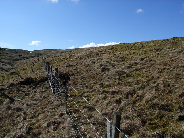
This is a list of tributaries of the River Tees from its source at Teeshead to its mouth at Middlesbrough. Teeshead Source to Cow Green Reservoir * Slate Sike * Swath Beck * Crooked Beck * Rake Sike * Fallcrag Sike * Trout Beck * Tynegreen Sike * Great Dodgen Pot Sike * Crook Burn * Smithy Sike * Little Dodgen Pot Sike * Green Hurth Sike * Force Burn Cow Green Reservoir The following waterways empty into the reservoir. * Borderonmere Sike * Dubby Sike * Dubbysike East Grain * Near Hole Sike * Weelhead Sike * Cowgreen Sike * Stapestone Sike * Red Sike * Whitespot Sike * Deadcrook Sike * Cockle Sike * Rowantree Sike * Mattergill Sike Cow Green Reservoir to Middleton-in-Teesdale * Maize Beck * Tinkler's Sike * Birkdale Hush * Merrygill Beck * Crookus Gill * Black Sike * Fox Earth's Gill * Fold Sike * Holmwath Sike * Wildscar Sike * South Loom Sike * Harwood Beck * Little Sike * Dufton Sike * Fell Dike Sike * Skyer Beck * Blea Beck * Smithy Sike * Hag Sike * Etters ... [...More Info...] [...Related Items...] OR: [Wikipedia] [Google] [Baidu] |
River Tees
The River Tees (), in Northern England, rises on the eastern slope of Cross Fell in the North Pennines and flows eastwards for to reach the North Sea between Hartlepool and Redcar near Middlesbrough. The modern day history of the river has been tied with the industries on Teesside in its lower reaches, where it has provided the means of import and export of goods to and from the North East England. The need for water further downstream also meant that reservoirs were built in the extreme upper reaches, such as Cow Green. Etymology The name ''Tees'' is possibly of Brittonic origin. The element ''*tēs'', meaning "warmth" with connotations of "boiling, excitement" (Welsh ''tes''), may underlie the name. ''*Teihx-s'', a root possibly derived from Brittonic ''*ti'' (Welsh ''tail'', "dung, manure"), has also been used to explain the name ''Tees'' (compare River Tyne). Geography The river drains and has a number of tributaries including the River Greta, River Lune, River Balder, ... [...More Info...] [...Related Items...] OR: [Wikipedia] [Google] [Baidu] |
River Greta, Durham
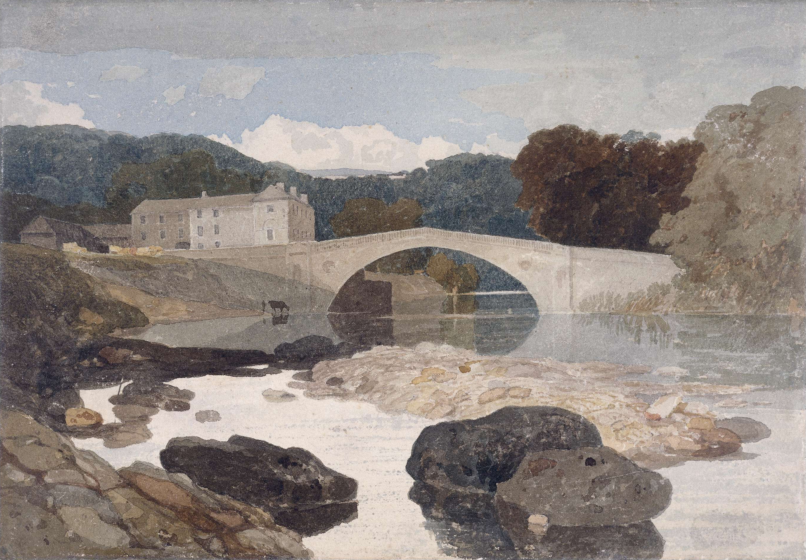
The River Greta is a river in County Durham, England. It is a tributary of the River Tees and flows through the northern part of the old North Riding of Yorkshire. The name "Greta" derives from the Old Norse "Griótá", meaning "stony stream".Ekwall, p. 205 * The river rises in the Pennines and drains Spittal Ings, Roper Castle (or Round Table) and Beldoo Moss to the east of Moudy Mea, before running east through Stainmore Forest. It is joined at West Charity Farm by Sleightholme Beck, its main tributary, which runs north-east from its source between Bog Moss and Sleightholme Moor where it is formed by the confluence of Dry Gill and Frumming Beck. From there, the river travels through Bowes, where, close to the site of the Roman fort of Lavatris it is crossed by the Pennine Way. The area through which the Greta flows was a favourite haunt of artists, notably John Sell Cotman and J. M. W. Turner. There are also many historic sites adjacent to the river including cup and rin ... [...More Info...] [...Related Items...] OR: [Wikipedia] [Google] [Baidu] |
Tees Catchment
Tee, tees, or TEE may refer to: Common meaning *Tee, an item of sports equipment, used a.o. in golf *Tee language, a language spoken in Nigeria *tee (command), a shell command in various operating systems *Tee (symbol), symbol used in mathematics, logic and computer science *T-shirt, or tee As an acronym *Tertiary Entrance Exam, an important exam for high school students in Western Australia *Total energy expenditure, the total amount of energy an individual expends (usually per day) *Thromboembolism, ThromboEmbolic Event *Trans Europ Express, a former international train network in Europe * ''Trans-Europe Express'' (album), an album by the German electronic band Kraftwerk *Transesophageal echocardiogram, a medical test that creates two dimensional images of the heart *Trusted execution environment, an execution framework with a higher level of security than the main operating system itself * Faculty of Technology, Engineering and the Environment (Birmingham City University) *Th ... [...More Info...] [...Related Items...] OR: [Wikipedia] [Google] [Baidu] |
Rivers Of County Durham
A river is a natural flowing watercourse, usually freshwater, flowing towards an ocean, sea, lake or another river. In some cases, a river flows into the ground and becomes dry at the end of its course without reaching another body of water. Small rivers can be referred to using names such as creek, brook, rivulet, and rill. There are no official definitions for the generic term river as applied to geographic features, although in some countries or communities a stream is defined by its size. Many names for small rivers are specific to geographic location; examples are "run" in some parts of the United States, "burn" in Scotland and northeast England, and "beck" in northern England. Sometimes a river is defined as being larger than a creek, but not always: the language is vague. Rivers are part of the water cycle. Water generally collects in a river from precipitation through a drainage basin from surface runoff and other sources such as groundwater recharge, springs, a ... [...More Info...] [...Related Items...] OR: [Wikipedia] [Google] [Baidu] |
Lists Of Rivers Of The United Kingdom
A ''list'' is any set of items in a row. List or lists may also refer to: People * List (surname) Organizations * List College, an undergraduate division of the Jewish Theological Seminary of America * SC Germania List, German rugby union club Other uses * Angle of list, the leaning to either port or starboard of a ship * List (information), an ordered collection of pieces of information ** List (abstract data type), a method to organize data in computer science * List on Sylt, previously called List, the northernmost village in Germany, on the island of Sylt * ''List'', an alternative term for ''roll'' in flight dynamics * To ''list'' a building, etc., in the UK it means to designate it a listed building that may not be altered without permission * Lists (jousting), the barriers used to designate the tournament area where medieval knights jousted * ''The Book of Lists'', an American series of books with unusual lists See also * The List (other) * Listing (di ... [...More Info...] [...Related Items...] OR: [Wikipedia] [Google] [Baidu] |
River Leven, North Yorkshire
The River Leven (pronounced ) in North Yorkshire, England is a tributary of the River Tees. It rises on Warren Moor, part of Kildale Moor, in the North York Moors and flows to the north of the moors to join the River Tees at Yarm. Course The source of the river is on Warren Moor, part of Kildale Moor, just south of the village of Kildale. The river flows east until it reaches the Whitby to Middlesbrough railway line where it turns around to flow west to Kildale. It then flows south-south-west through woodland to its confluence with Dundale Beck where it turns north-west through Low Easby and Little Ayton, before turning west and then south-west at Great Ayton. It runs parallel to the A173 to Stokesley. The river becomes increasingly meandering as it continues south-west past Skutterskelfe to Hutton Rudby and Rudby, where it turns north-west and then west again over Slape Stones waterfall. At Crathorne it turns north and then north-east as far as Middleton-on-Leven before passin ... [...More Info...] [...Related Items...] OR: [Wikipedia] [Google] [Baidu] |
River Skerne
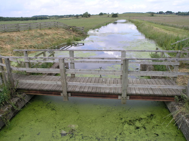
The River Skerne is a tributary of the River Tees. It flows through County Durham in England. Course The Skerne is about long and begins in Magnesian Limestone hills between Trimdon and Trimdon Grange and ends at Hurworth Place where it joins the River Tees. Three miles after the source the Skerne is joined by Hurworth Burn and enters Hurworth Burn Reservoir on the borders of Stockton-on-Tees and County Durham. On leaving the reservoir, the Skerne heads south-west towards Sedgefield. It flows through farmland between Fishburn and Sedgefield and it seems likely that the Skerne is "the fish-stream" that gives Fishburn its name. Three miles west of Fishburn, it is crossed by the A1(M) motorway near Bradbury interchange. At this point the Skerne takes a southerly course and, for about five miles (8 km) as far south as Aycliffe, it runs roughly parallel to the motorway and the East Coast Main Line. A number of smaller tributaries join the Skerne in the area and often form l ... [...More Info...] [...Related Items...] OR: [Wikipedia] [Google] [Baidu] |
The Old River Tees - Geograph
''The'' () is a grammatical article in English, denoting persons or things that are already or about to be mentioned, under discussion, implied or otherwise presumed familiar to listeners, readers, or speakers. It is the definite article in English. ''The'' is the most frequently used word in the English language; studies and analyses of texts have found it to account for seven percent of all printed English-language words. It is derived from gendered articles in Old English which combined in Middle English and now has a single form used with nouns of any gender. The word can be used with both singular and plural nouns, and with a noun that starts with any letter. This is different from many other languages, which have different forms of the definite article for different genders or numbers. Pronunciation In most dialects, "the" is pronounced as (with the voiced dental fricative followed by a schwa) when followed by a consonant sound, and as (homophone of the archaic pr ... [...More Info...] [...Related Items...] OR: [Wikipedia] [Google] [Baidu] |
River Skerne - Geograph
A river is a natural flowing watercourse, usually freshwater, flowing towards an ocean, sea, lake or another river. In some cases, a river flows into the ground and becomes dry at the end of its course without reaching another body of water. Small rivers can be referred to using names such as creek, brook, rivulet, and rill. There are no official definitions for the generic term river as applied to geographic features, although in some countries or communities a stream is defined by its size. Many names for small rivers are specific to geographic location; examples are "run" in some parts of the United States, " burn" in Scotland and northeast England, and "beck" in northern England. Sometimes a river is defined as being larger than a creek, but not always: the language is vague. Rivers are part of the water cycle. Water generally collects in a river from precipitation through a drainage basin from surface runoff and other sources such as groundwater recharge, springs, ... [...More Info...] [...Related Items...] OR: [Wikipedia] [Google] [Baidu] |
Middlesbrough
Middlesbrough ( ) is a town on the southern bank of the River Tees in North Yorkshire, England. It is near the North York Moors national park. It is the namesake and main town of its local borough council area. Until the early 1800s, the area was rural farming land. By 1830, a new industrial town and port started to be developed, driven by the coal and later ironworks. Steel production and ship building began in the late 1800s, remaining associated with the town until post-industrial decline occurred in the late twentieth century. Trade (notably through ports) and digital enterprise sectors contemporarily contribute to the local economy, Teesside University and Middlesbrough College to local education. In 1853, it became a town. The motto ("We shall be" in Latin) was adopted, it reflects ("We have been") of the Bruce clan which were Cleveland's mediaeval lords. The town's coat of arms is three ships representing shipbuilding and maritime trade and an azure (blue) lion, ... [...More Info...] [...Related Items...] OR: [Wikipedia] [Google] [Baidu] |
River Balder
The Balder is an English river that rises on the eastern slope of Stainmore Common in the Pennine Chain and flows eastwards for about 13 miles (21 km) to the River Tees at Cotherstone. The River Balder is in County Durham. The head of the valley is a bleak moorland, with hills around it exceeding 500 m (1640 ft). The River Balder enters Balderhead Reservoir about 7 km from the source, at around 330 m (1080 ft). It spills into two more reservoirs further down Baldersdale: Blackton Reservoir and Hury Reservoir. The scenery becomes gentler as it descends past Baldersdale Youth Hostel. The distinctive flat peak of Goldsborough to the south is passed before the valley begins to open out as the river enters Blackton Reservoir at around 280 m (920 ft). The course of the valley carries on at a virtually exactly east direction as the River Balder enters Hury Reservoir at about 260 m (850 ft), passing the village of Hury which lies to t ... [...More Info...] [...Related Items...] OR: [Wikipedia] [Google] [Baidu] |


.png)
