|
List Of Settlements On The River Tees
{{Use dmy dates, date=April 2022 This is a list of settlements on the River Tees in County Durham and North Yorkshire, England. ''from source'' *Forest-in-Teesdale * Bowlees *Newbiggin, Teesdale *Middleton-in-Teesdale * Eggleston *Cotherstone *Barnard Castle * Startforth *Whorlton, County Durham *Wycliffe, County Durham *Ovington, County Durham *Winston, County Durham *Piercebridge *High Coniscliffe *Cleasby *Stapleton, Richmondshire *Croft-on-Tees *Dalton-on-Tees *Hurworth Place *Hurworth-on-Tees *Neasham *Eryholme *Sockburn *Girsby *Low Dinsdale * Low Worsall * Aislaby, County Durham *Yarm *Eaglescliffe *Preston-on-Tees *Thornaby-on-Tees *Stockton-on-Tees *Middlesbrough Settlements River Tees The River Tees (), in Northern England, rises on the eastern slope of Cross Fell in the North Pennines and flows eastwards for to reach the North Sea between Hartlepool and Redcar near Middlesbrough. The modern day history of the river has be ... Tees ... [...More Info...] [...Related Items...] OR: [Wikipedia] [Google] [Baidu] |
River Tees
The River Tees (), in Northern England, rises on the eastern slope of Cross Fell in the North Pennines and flows eastwards for to reach the North Sea between Hartlepool and Redcar near Middlesbrough. The modern day history of the river has been tied with the industries on Teesside in its lower reaches, where it has provided the means of import and export of goods to and from the North East England. The need for water further downstream also meant that reservoirs were built in the extreme upper reaches, such as Cow Green. Etymology The name ''Tees'' is possibly of Brittonic origin. The element ''*tēs'', meaning "warmth" with connotations of "boiling, excitement" (Welsh ''tes''), may underlie the name. ''*Teihx-s'', a root possibly derived from Brittonic ''*ti'' (Welsh ''tail'', "dung, manure"), has also been used to explain the name ''Tees'' (compare River Tyne). Geography The river drains and has a number of tributaries including the River Greta, River Lune, River Balder, ... [...More Info...] [...Related Items...] OR: [Wikipedia] [Google] [Baidu] |
Cleasby
Cleasby is a village and civil parish in the Richmondshire district of North Yorkshire, England. It is close to the River Tees and Darlington and the A1(M). The population at the 2011 Census of ONS was 208. History The village is mentioned in the ''Domesday book'' as "Clesbi". The manor had been the possession of a local named ''Thor'', but passed to ''Enisant Mussard'' after the Norman invasion. The mesne lordship passed to the lords of Constable Burton from Enisant which eventually ended in the hands of the ''Scrope'' family. Enisant continued to hold a demesne lordship here which passed to ''Harsculph'' an ancestor of the ''Cleasby'' family. By the early fourteenth century the direct line of inheritance had ended and the manor passed to the ''Fitz Hugh'' family of Ravensworth who held it until the middle of the sixteenth century when it passed to the Crown. In 1602 the manor was granted to ''Peter Bradwell'' and ''Robert Parker''. From thereon it passed via the Countess of ... [...More Info...] [...Related Items...] OR: [Wikipedia] [Google] [Baidu] |
Yarm
Yarm, also referred to as Yarm-on-Tees, is a market town and civil parish in the Borough of Stockton-on-Tees, North Yorkshire, England. It was previously a port town before the industry moved down the River Tees to more accessible settlements nearer to the sea. It lies on the Southern bank of the River Tees, on a small peninsula hosting the town's high street and other oldest parts. Newer area of the town are in former fields south of the peninsula. To the east it extends to the River Leven, to the south it extends into the Kirklevington parish ( is in said parish). Low Worsall is to the newer area's west. Yarm bridge marked the river's furthest tidal-flow reaching until a barrage opened to regulate the tide in 1995. It was previously the last bridge before the sea, having been superseded multiple times since. It was first superseded by a toll bridge in 1771, crossing into Stockton-on-Tees The town's historic county is Yorkshire, the North Riding sub-division. The three sub- ... [...More Info...] [...Related Items...] OR: [Wikipedia] [Google] [Baidu] |
Aislaby, County Durham
Aislaby ( ) is a small village and civil parish on the north bank of the River Tees within the borough of Stockton-on-Tees and the ceremonial county of County Durham, England. It is located to the west of Eaglescliffe and Yarm. The name, first attested as ''Asulue(s)bi'' in 1086, is of Viking origin and means "Aslak's farm." Aislaby was listed in the Domesday Book of 1086. Geography Administration Aislaby is historically and ceremonially located in County Durham, but for administrative purposes is located in the Borough of Stockton-on-Tees, made a unitary authority in 1996. Before this time it was in the non-metropolitan county of Cleveland, created on 1 April 1974 under the provisions of the Local Government Act 1972. Aislaby is in the Eaglescliffe ward. It is part of the Stockton South parliamentary constituency, represented since the 2019 general election by Matt Vickers of the Conservative Party. The constituency was previously represented by Labour MP Paul Williams (2017� ... [...More Info...] [...Related Items...] OR: [Wikipedia] [Google] [Baidu] |
Low Worsall
Low Worsall is a small village and civil parish in Hambleton district of North Yorkshire, England, near High Worsall and west of Yarm Yarm, also referred to as Yarm-on-Tees, is a market town and civil parish in the Borough of Stockton-on-Tees, North Yorkshire, England. It was previously a port town before the industry moved down the River Tees to more accessible settlements ne .... References External links Villages in North Yorkshire Civil parishes in North Yorkshire {{Hambleton-geo-stub ... [...More Info...] [...Related Items...] OR: [Wikipedia] [Google] [Baidu] |
Low Dinsdale
Low Dinsdale is a village and former civil parish in the borough of Darlington and the ceremonial county of County Durham, England. The Parish population taken at the 2011 census was 871. It is situated a few miles to the south-east of Darlington. Historically the village was commonly known as Dinsdale. "Low" was added to distinguish the village from the neighbouring village of Over Dinsdale, on the opposite bank of the River Tees in North Yorkshire. The toponym was recorded in Domesday Book as ''Dignesale'' and ''Dirneshale'', and recorded in 1088 as ''Detnisale''. The name is Old English and means either "nook of land belonging to a man named Dyttin" or "nook of land belonging to Deighton". Deighton was in the same wapentake ( Allerton) as Over Dinsdale. Listed buildings include Low Dinsdale Manor Low Dinsdale Manor is a privately owned, much altered, and extended medieval moated fortified manor house situated on the north bank of the River Tees at Low Dinsdale, near ... [...More Info...] [...Related Items...] OR: [Wikipedia] [Google] [Baidu] |
Girsby
Girsby is a village and civil parish in Hambleton District of North Yorkshire, England. The village lies on high ground on the eastern bank of the River Tees. The population of the parish was estimated at 40 in 2010. The population as of the 2011 census remained less than 100. Details are included in the civil parish of Over Dinsdale. Historically the village was a township in the ancient parish of Sockburn, a parish divided by the River Tees between the North Riding of Yorkshire (which included Girsby) and County Durham (which included the township of Sockburn). Girsby became a separate civil parish in 1866. The settlement has fallen into disrepair, many of the remaining buildings are derelict, there are barely enough houses to constitute a hamlet. The small and secluded 'Girsby All Saints Church' overlooks the meandering Tees from its elevated position. The views from this vantage point are most enjoyable at sunset. A private farmers track leads down to a rarely used br ... [...More Info...] [...Related Items...] OR: [Wikipedia] [Google] [Baidu] |
Sockburn
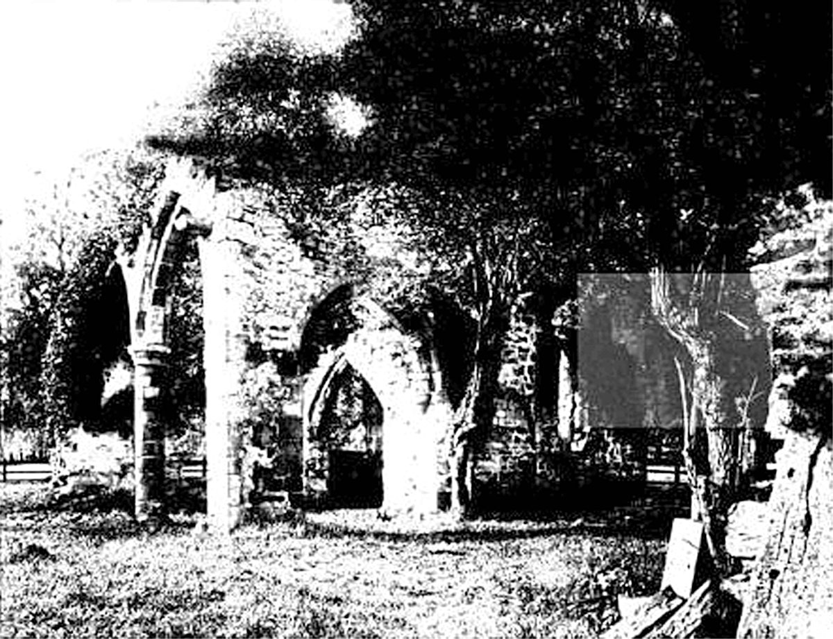
Sockburn is a village and former civil parish to the south of Darlington in County Durham, England. It is situated at the apex of a meander of the River Tees, known locally as the Sockburn Peninsula. Today, all that remains of the village is an early nineteenth-century mansion, a ruined church and a farmhouse built in the late eighteenth century. Sockburn is best known for: * Important links with Lindisfarne and Celtic Christianity * The discovery of Viking Age hogbacks. * '' The Sockburn Worm '' , a ferocious wyvern that laid waste to the village. * Sockburn Hall, a 19th-century country house and a Grade II listed building. Governance Sockburn was once a larger parish. The ancient parish included the townships of Sockburn in County Durham, and Girsby and Over Dinsdale, both on the opposite bank of the River Tees in the North Riding of Yorkshire. In 1866 Girsby and Over Dinsdale became separate civil parishes. By 1961 the parish had a population of only 32. At the ... [...More Info...] [...Related Items...] OR: [Wikipedia] [Google] [Baidu] |
Eryholme
Eryholme is a village and civil parish in the district of Richmondshire in North Yorkshire, England. As the population remained less than 100 in the 2011 census, information is included with that of Dalton-on-Tees. The village is situated on the south bank of the River Tees, opposite Hurworth, south-east of Darlington. In this part of the Tees Valley the river forms many loops called 'holmes'. The word 'holm' is of Viking origin and means "island formed by a river". Eryholme's name is, however, a corruption of its original name 'Erghum'. This name means shieling - a shelter for livestock, which comes from the Old Irish word 'airgh'. This word was introduced into Yorkshire place names by Norwegian Vikings who had lived in Ireland for a number of generations and adopted many Irish words. The Church of St Mary the Virgin in Eryholme is a grade II* listed plain sandstone building, originally built c.1200 and modified in the 13th, 14th and 16th centuries. Set inside the east ... [...More Info...] [...Related Items...] OR: [Wikipedia] [Google] [Baidu] |
Neasham
Neasham is a village approximately four miles to the south east of Darlington in County Durham, England. Geography and recreation The village sits on the banks of the River Tees which, at that point, marks the border between the counties of Durham and North Yorkshire. The crossing at the River Tees at Neasham is the point of the great road north and the point where the bishops crossed into Co Durham (the Land of the Prince Bishops). The layout of Neasham consists of one main street, Teesway, which runs west to east for about half a mile plus some minor turn-offs with residences. In the summer visitors come to the village for canoeing, fishing, cycling and horseriding. Events ''Bonfire night''- on the playing field next to the river the village holds a huge bonfire with local people starting to collect branches, furniture etc. in early September. In 2006 Stockton Borough Council tried to stop the bonfire because of health and safety but failed. Afterwards there is also fireworks. ... [...More Info...] [...Related Items...] OR: [Wikipedia] [Google] [Baidu] |
Hurworth-on-Tees
Hurworth-on-Tees is a village in the borough of Darlington, within the ceremonial county of County Durham, England. It is situated in the civil parish of Hurworth. The village lies to the south of Darlington on the River Tees, close to its meeting point with the River Skerne, and immediately adjoins the village of Hurworth Place, which forms part of the same civil parish. Amenities The church of All Saints is situated in the middle of the village. There may have been a church on the site as early as the 12th century. The church was extensively rebuilt in the 1830s and again in 1871. There was a school at Hurworth before 1770, when it was refounded. Currently the village has two schools. Hurworth Primary School caters for around 250 children aged 4–11. The secondary school is called Hurworth School Maths & Computing College; it caters for around 650 students aged 11–16. There was also a small independent school, Hurworth House School, which closed in the summer of 201 ... [...More Info...] [...Related Items...] OR: [Wikipedia] [Google] [Baidu] |
Hurworth Place
Hurworth Place is a village in County Durham, in England. It lies south of Darlington on the northern bank of the River Tees, opposite the village of Croft-on-Tees in North Yorkshire to which it is linked by Croft Bridge, a Grade I listed structure dating from the 14th century, which marks the county boundary. It is part of the civil parish of Hurworth. Transport The Great North Road mail coach route, later the A1 road, originally passed through the village, crossing the Tees via Croft Bridge. It was later rerouted, and the road is now designated the A167. The Teesdale Way footpath runs through the village, as does the East Coast Main Line, although there is no longer a railway station. Amenities The village has a newsagent, a doctor's surgery, a garage, a pharmacy, a hair salon There is one pub the Comet, and a working men's club. There is also a Christadelphian hall. [...More Info...] [...Related Items...] OR: [Wikipedia] [Google] [Baidu] |


