|
List Of Schools In Worcestershire
This is a list of schools in Worcestershire, England. State-funded schools Primary and first schools *Abberley Parochial Primary School, Abberley *Abbey Park First School, Pershore *Abbeywood First School, Redditch *Arrow Valley First School, Redditch *Ashton-under-Hill First School, Ashton under Hill *Astley CE Primary School, Astley *Astwood Bank Primary School, Astwood Bank *Badsey First School, Badsey *Batchley First School, Redditch *Bayton CE Primary School, Bayton *Beaconside Primary School, Rubery *Belbroughton CE Primary School, Belbroughton *Bengeworth CE Academy, Bengeworth *Beoley First School, Beoley *Bewdley Primary School, Bewdley *Birchen Coppice Academy, Kidderminster *Blackwell First School, Blackwell *Blakedown CE Primary School, Blakedown *Bredon Hancock's CE First School, Bredon *Bretforton Village School, Bretforton *Broadheath CE Primary School, Lower Broadheath *Broadwas CE Primary School, Broadwas *Broadway First School, Broadway *Burlish Par ... [...More Info...] [...Related Items...] OR: [Wikipedia] [Google] [Baidu] |
Worcestershire
Worcestershire ( , ; written abbreviation: Worcs) is a county in the West Midlands of England. The area that is now Worcestershire was absorbed into the unified Kingdom of England in 927, at which time it was constituted as a county (see History of Worcestershire). Over the centuries the county borders have been modified, but it was not until 1844 that substantial changes were made. Worcestershire was abolished as part of local government reforms in 1974, with its northern area becoming part of the West Midlands and the rest part of the county of Hereford and Worcester. In 1998 the county of Hereford and Worcester was abolished and Worcestershire was reconstituted, again without the West Midlands area. Location The county borders Herefordshire to the west, Shropshire to the north-west, Staffordshire only just to the north, West Midlands to the north and north-east, Warwickshire to the east and Gloucestershire to the south. The western border with Herefordshire includes a ... [...More Info...] [...Related Items...] OR: [Wikipedia] [Google] [Baidu] |
Blakedown
Blakedown is a village in the Wyre Forest District lying along the A456 in the north of the county of Worcestershire, England. Following enclosures and the arrival of the railway, it developed both agriculturally and industrially during the 19th century. Due to its transport links, it now serves mainly as a dormitory for the neighbouring town of Kidderminster and for the cities of Birmingham and Worcester. History From the time of the Domesday book, the Blakedown (earlier Bleak Down) area formed part of Hagley Parish; originally it belonged to Clent Hundred and later to the lower division of Halfshire. In 1888 the growing village was separated administratively from Hagley to merge with the small adjacent parish of Churchill; there is now a combined Parish Council for both villages. Much of Blakedown was originally an area of common land, only enclosed in 1832. With the coming of the railway line in 1852, and the consequent agricultural and industrial development, Blakedown eventu ... [...More Info...] [...Related Items...] OR: [Wikipedia] [Google] [Baidu] |
Droitwich Spa
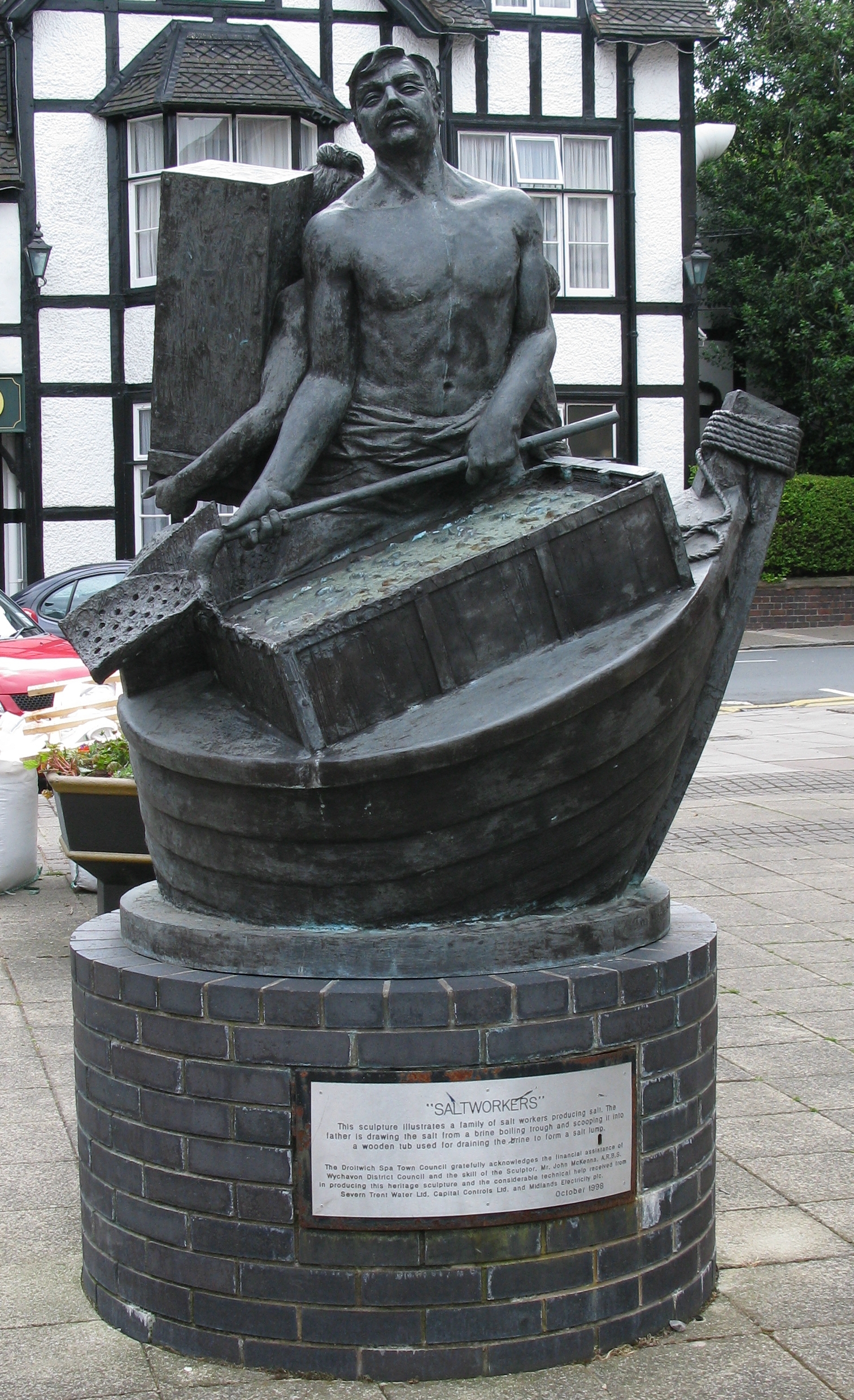
Droitwich Spa (often abbreviated to Droitwich ) is an historic spa town in the Wychavon district in northern Worcestershire, England, on the River Salwarpe. It is located approximately south-west of Birmingham and north-east of Worcester, England, Worcester. The town was called Salinae in Roman times, then later called Wyche, derived from the Anglo-Saxon Hwicce kingdom, referred to as "Saltwich" according to Anglo-Saxon charters, with the Droit (meaning "right" in French) added when the town was given its charter on 1 August 1215 by John, King of England, King John. The "Spa" was added in the 19th century when John Corbett developed the town's spa facilities. The River Salwarpe running through Droitwich is likely derived from ''sal'' meaning "salt" and ''weorp'' which means "to throw up" - i.e. "the river which throws up salt" - which overflows from the salt brines. The town is situated on massive deposits of salt, and salt has been extracted there since ancient times. The nat ... [...More Info...] [...Related Items...] OR: [Wikipedia] [Google] [Baidu] |
Charford
Charford is a small village located close to the town centre of Bromsgrove in Worcestershire, England. History Charford used to be farm land with a mill, Charford Mill (known as The Lint Mill) provided employment by the manufacture of sanitary towels and wound dressings but was worn out for many years until it was demolished to make way for South Bromsgrove High School which retained the old mill pond at the front of the complex. This, however, has since been filled in due to the demolition and redevelopment of the school on an adjacent field though the sluice gate can still be seen to the side of the Sugarbrook that runs along the front of the school off Charford Road. The original housing estates of Charford were built for workers of the Garringtons Drop forging plant in nearby Aston Fields that provided forgings for the automotive and aerospace industries. Transport Bus services in Charford are provided by First Midland Red, Diamond West Midlands, Clearway and MRD Tra ... [...More Info...] [...Related Items...] OR: [Wikipedia] [Google] [Baidu] |
Chaddesley Corbett
Chaddesley Corbett is a village and civil parish in the Wyre Forest District of Worcestershire, England. The Anglican and secular versions of the parish include other named neighbourhoods, once farmsteads or milling places: Bluntington, Brockencote, Mustow Green, Cakebole, Outwood, Harvington, and Drayton. History The village was named ''Chad Lea'', or the place of Chad, in Saxon times, and is recorded in the ''Domesday Book'' of 1086–7 as ''Cedeslai'', when it was held by a woman, Eadgifu, who also held it in the time of King Edward before the Norman Conquest of 1066. It consisted of eight berewicks and 25 hides of which 10 were free of geld and had the value of £12. The area was subject to forest law for around a century to 1301, as part of Feckenham Forest. (page 120) Geography Chaddesley Corbett is centred on the north side of the A448 approximately midway between the north Worcestershire towns of Bromsgrove and Kidderminster. In 1913 the parish was stated to have ... [...More Info...] [...Related Items...] OR: [Wikipedia] [Google] [Baidu] |
Catshill
Catshill is a village in Worcestershire about 2.5 miles north of Bromsgrove and 10 miles south-west of Birmingham. The parish of Catshill was formed around the Turnpike Road (A38) in 1844. The population of Catshill in 2011 was 6,858. Education Catshill is home to Catshill First School and Catshill Middle School. The first school Catshill First School and Nursery is located in the centre of the village on Gibb Lane. The Middle School was built in 1939, and was converted from a Secondary Modern to a Middle School in 1970. The village has a small library, though it is not open every day. Catshill also has a village hall in which many different learning activities take place, from karate to IT skills. Transport Catshill is served by regular bus services by First Midland Red, Diamond West Midlands, National Express West Midlands and MRD Travel. There are routes to Longbridge, Halesowen, Stourbridge, Bromsgrove, Worcester and Droitwich. With nearby access to the M5 and M ... [...More Info...] [...Related Items...] OR: [Wikipedia] [Google] [Baidu] |
Castlemorton
Castlemorton is a village and civil parish close to Malvern in the Malvern Hills District in the county of Worcestershire, England. It consists of a village centre, a large common and many farms and houses within the area. In 2013 the Worcestershire Wildlife Trust purchased 42 acres of meadow at Hollybed Farm as part of a project to celebrate the 60th Anniversary of the Coronation of Elizabeth II and restore the meadows as a nature resrve. In 1992 the Common was the location of the controversial Castlemorton Common Festival, a week-long free festival and rave. The event made national headlines. The 2015 World War II film ''Our Father'' was filmed on location on Castlemorton Common. History A medieval motte-and-bailey castle stood to the south of the village, the earthwork remains are still present. Castlemorton Common was once part of the vast Royal hunting grounds of the Malvern Chase. James I split up much of this hunting ground (examples are Eastnor Castle Estate, Bromsbe ... [...More Info...] [...Related Items...] OR: [Wikipedia] [Google] [Baidu] |
Worcester, England
Worcester ( ) is a cathedral city in Worcestershire, England, of which it is the county town. It is south-west of Birmingham, north-west of London, north of Gloucester and north-east of Hereford. The population was 103,872 in the 2021 Census. The River Severn flanks the western side of the city centre. It is overlooked by Worcester Cathedral. Worcester is the home of Royal Worcester, Royal Worcester Porcelain, composer Edward Elgar, Lea & Perrins, makers of traditional Worcestershire sauce, the University of Worcester, and ''Berrow's Worcester Journal'', claimed as the world's oldest newspaper. The Battle of Worcester in 1651 was the final battle of the English Civil War, during which Oliver Cromwell's New Model Army defeated Charles II of England, King Charles II's Cavalier, Royalists. History Early history The trade route past Worcester, later part of the Roman roads in Britain, Roman Ryknild Street, dates from Neolithic times. It commanded a ford crossing over the Rive ... [...More Info...] [...Related Items...] OR: [Wikipedia] [Google] [Baidu] |
Callow End
Callow End is a constituent village of the civil parish of Powick in the Malvern Hills District of Worcestershire, England. It is located on the B4424 road about to the south of its junction with the main A449 Malvern to Worcester road. The River Severn runs down the eastern side of the village. The village school, Callow End Church of England Primary School, is part of the Diocese of Worcester Multi Academy Trust. There are two pubs in the village, The Old Bush and The Bluebell. A popular walking spot is next to the village, namely The Old Hills . Callow End Court is a Grade II listed French-style 19th century country house, located to the west of the village. The church of St James was built in 1888 by the sixth Earl Beauchamp as a secondary chapel within the parish of Powick. The war memorial, next to the Callow End Club, is a Grade II listed monument, in the form of a hooded Portland stone cross. Callow End is the former home of Stanbrook Abbey, a Benedictine conve ... [...More Info...] [...Related Items...] OR: [Wikipedia] [Google] [Baidu] |
Stourport-on-Severn
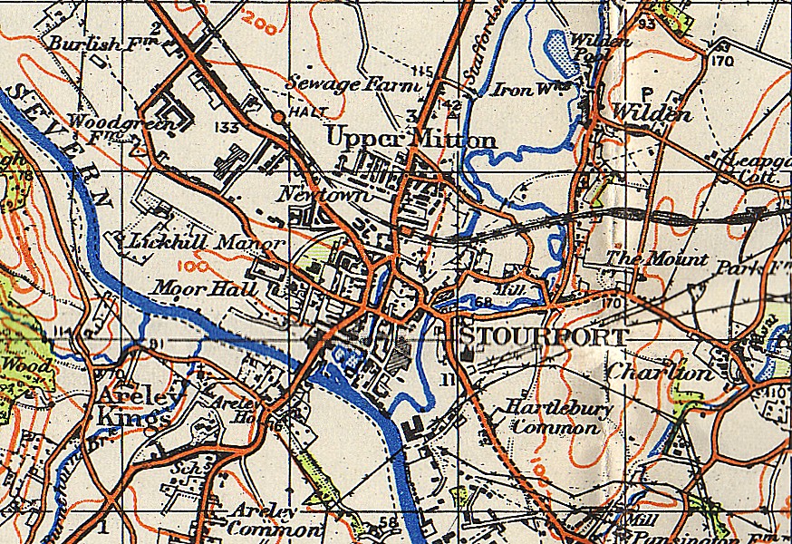
Stourport-on-Severn, often shortened to Stourport, is a town and civil parish in the Wyre Forest District of North Worcestershire, England, a few miles to the south of Kidderminster and downstream on the River Severn from Bewdley. At the 2011 census, it had a population of 20,292. History and early growth Stourport came into being around the canal basins at the Severn terminus of the Staffordshire and Worcestershire Canal, which was completed in 1768. In 1772 the junction between the Staffordshire and Worcestershire and the Birmingham Canal was completed and Stourport became one of the principal distributing centres for goods to and from the rest of the West Midlands. The canal terminus was built on meadowland to the south west of the hamlet of Lower Mitton. The terminus was first called Stourmouth and then Newport, with the final name of Stourport settled on by 1771. The population of Stourport rose from about 12 in the 1760s to 1300 in 1795. In 1771 John Wesley had called ... [...More Info...] [...Related Items...] OR: [Wikipedia] [Google] [Baidu] |
Broadway, Worcestershire
Broadway is a large village and civil parish in the Cotswolds, England, with a population of 2,540 at the 2011 census. It is in the far southeast of Worcestershire, close to the Gloucestershire border, midway between Evesham and Moreton-in-Marsh. It is sometimes referred to as the "Jewel of the Cotswolds". Broadway village lies beneath Fish Hill on the western Cotswold escarpment. The "broad way" is the wide grass-fringed main street, centred on the Green, which is lined with red chestnut trees and honey-coloured Cotswold limestone buildings, many dating from the 16th century. It is known for its association with the Arts and Crafts movement, and is in an area of outstanding scenery and conservation. The wide High Street is lined with a wide variety of shops and cafes, many housed in listed buildings. The village also featured in the 2018 video game ''Forza Horizon 4''. History Broadway is an ancient settlement whose origins are uncertain. There is documentary evidence of act ... [...More Info...] [...Related Items...] OR: [Wikipedia] [Google] [Baidu] |
Broadwas
Broadwas, or Broadwas-on-Teme, is a village and civil parish (with Cotheridge) in the Malvern Hills district of Worcestershire, England. According to the 2001 census it had a population of 307. The village is located on the River Teme, about 6 miles west of Worcester on the A44 road. Off the main road near the River Teme is the red sandstone church of St Mary Magdelene. History Following the Poor Law Amendment Act 1834 Broadwas Parish ceased to be responsible for maintaining the poor in its parish. This responsibility was transferred to Martley Poor Law Union Following the Poor Law Amendment Act 1834 individual parishes ceased to be responsible for maintaining the poor in their parish. Poor law unions were established. In west Worcestershire the Martley Poor Law Union was established to take the po ....''Worcestershire Family History Guidebook'' Morgan, Vanessa 2011, The History Press, Stroud, Gloucestershire.p68 References External links Broadwas web site Vil ... [...More Info...] [...Related Items...] OR: [Wikipedia] [Google] [Baidu] |


