|
List Of Museums In West Yorkshire
This list of museums in West Yorkshire, England contains museums which are defined for this context as institutions (including nonprofit organisations, government entities, and private businesses) that collect and care for objects of cultural, artistic, scientific, or historical interest and make their collections or related exhibits available for public viewing. Also included are non-profit art galleries and university art galleries. Museums that exist only online (i.e., virtual museums) are not included. Defunct museums * Clarke Hall, Wakefield, 17th-century country house and gardens, closed in 2012 * Harmonium Museum, Saltaire, collection of reed organs and harmoniums, closed in 2011 * Keighley Private Classic Car Museum, Keighley, also known as Yorkshire Car Collection * Rugby League Heritage Centre, Huddersfield, closed in 2013 due to sale of building, seeking new location * Transperience, Low Moor, Bradford, closed in 1997 * Wakefield Art Gallery, closed March 2009, ... [...More Info...] [...Related Items...] OR: [Wikipedia] [Google] [Baidu] |
West Yorkshire
West Yorkshire is a metropolitan and ceremonial county in the Yorkshire and Humber Region of England. It is an inland and upland county having eastward-draining valleys while taking in the moors of the Pennines. West Yorkshire came into existence as a metropolitan county in 1974 after the reorganisation of the Local Government Act 1972 which saw it formed from a large part of the West Riding of Yorkshire. The county had a recorded population of 2.3 million in the 2011 Census making it the fourth-largest by population in England. The largest towns are Huddersfield, Castleford, Batley, Bingley, Pontefract, Halifax, Brighouse, Keighley, Pudsey, Morley and Dewsbury. The three cities of West Yorkshire are Bradford, Leeds and Wakefield. West Yorkshire consists of five metropolitan boroughs (City of Bradford, Calderdale, Kirklees, City of Leeds and City of Wakefield); it is bordered by the counties of Derbyshire to the south, Greater Manchester to the south-west, Lancash ... [...More Info...] [...Related Items...] OR: [Wikipedia] [Google] [Baidu] |
Calderdale
Calderdale is a metropolitan borough of West Yorkshire, England, whose population in 2020 was 211,439. It takes its name from the River Calder, and dale, a word for valley. The name Calderdale usually refers to the borough through which the upper river flows, while the actual landform is known as the Calder Valley. Several small valleys contain tributaries of the River Calder. Calderdale covers part of the South Pennines, and the Calder Valley is the southernmost of the Yorkshire Dales, though it is not part of the Yorkshire Dales National Park. The borough was formed in 1974 by the merger of six local government districts, from east to west Brighouse, Elland, Halifax, Sowerby Bridge, Hebden Bridge and Todmorden. Mytholmroyd, together with Hebden Bridge, forms Hebden Royd. Halifax is the commercial, cultural and administrative centre of the borough. Calderdale is served by Calderdale Council, which is headquartered in Halifax, with some functions based in Todmorden. History ... [...More Info...] [...Related Items...] OR: [Wikipedia] [Google] [Baidu] |
Bramham Park
Bramham Park is a Grade I listed 18th-century country house in Bramham, between Leeds and Wetherby, in West Yorkshire, England. The house, constructed of magnesian limestone ashlar with stone slate roofs in a classical style, is built to a linear plan with a main range linked by colonnades to flanking pavilions. The main block is of three storeys with a raised forecourt. The house is surrounded by a 200 ha (500 acre) landscaped park ornamented by a series of follies and avenues laid out in the 18th-century landscape tradition, surrounded by 500 ha (1235 acres) of arable farmland. Bramham park is used annually for the Leeds Festival. History The Baroque mansion was built in 1698 for Robert Benson, 1st Baron Bingley. It has remained in the ownership of Benson's descendants since its completion in 1710. He died with no male heirs and the barony was extinguished. The estate passed into the hands of his son-in-Law George Fox-Lane (c.1697–1773), who was given the re-created title ... [...More Info...] [...Related Items...] OR: [Wikipedia] [Google] [Baidu] |
Eccleshill, West Yorkshire
Eccleshill is an area, former village, and ward within the City of Bradford Metropolitan District Council in the county of West Yorkshire, England. The ward population of Eccleshill is 17,540, increasing at the 2011 Census to 17,945. Eccleshill is a more or less completely residential urban area with very little open space although there is substantial open land directly to the east. The origins of the name Eccleshill are uncertain. At the time of the ''Domesday Book'' the area was known as Egleshill either meaning 'eagles hill' or perhaps named after a Saxon landlord called Aikel or Eckil—alternatively it could mean Ecclesiastical Hill. History In Roman times the Eccleshill area was crossed by two lanes. One lane was along what is now Norman Lane and the other to Apperley Bridge down the road now known as Bank. After the Norman Conquest the lands of Eccleshill were given to William, Earl of Warren. In 1274 ownership of lands passed to the Sheffields and in 1407 to the B ... [...More Info...] [...Related Items...] OR: [Wikipedia] [Google] [Baidu] |
Brackenhall 001
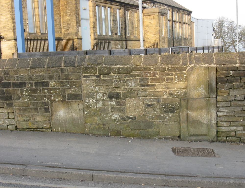
Brackenhall is a district of Huddersfield, West Yorkshire, England located 2 miles (3 km) north of Huddersfield town centre between Fixby and Sheepridge. History The estate was created in the 1930s when Huddersfield Town Council moved all residents from the rundown homes in the town centre to new estate. Since the 1960s, the estate was beset with social problems which culminated in a riot in July 1992 when police carried out a drugs raid at the Phoenix pub. The following night, 200 youths clashed with police and there were many injuries. This was one of the worst disturbances which occurred in a wave of rioting across Britain during the summer of 1992, with similar disturbances also taking place in towns including Blackburn and Burnley across the Lancashire Lancashire ( , ; abbreviated Lancs) is the name of a historic county, ceremonial county, and non-metropolitan county in North West England. The boundaries of these three areas differ significantly. The non- ... [...More Info...] [...Related Items...] OR: [Wikipedia] [Google] [Baidu] |
Bradford Industrial Museum
Bradford Industrial Museum, established 1974 in Moorside Mills, Eccleshill, Bradford, United Kingdom, specializes in relics of local industry, especially printing and textile machinery, kept in working condition for regular demonstrations to the public. There is a Horse Emporium in the old canteen block plus a shop in the mill, and entry is free of charge. History of the site Moorside Mills was a textile factory built by John Moore in 1875 for worsted spinning which grew into a medium-sized factory employing around 100 people. The mill which was originally steam powered was converted to electricity in the early 20th century. It was bought by Clifford and Arnold Wilson in 1908 who installed a mill engine built by Cole, Marchent and Morley in 1910. The high demand for worsted used for military uniforms during the World War I saw numerous expansions to the factory including the addition of two extra floors and a clock tower which was erected as a war memorial in 1919. In 1929 th ... [...More Info...] [...Related Items...] OR: [Wikipedia] [Google] [Baidu] |
Baildon
Baildon is a town and civil parish in the Bradford Metropolitan Borough in West Yorkshire, England and within the historic boundaries of the West Riding of Yorkshire. It lies north of Bradford city centre. The town forms a continuous urban area with Shipley and Bradford, and is part of the West Yorkshire Built Up Area. Other nearby suburbs include Shipley to the south and Saltaire to the west. As of the 2011 census, the Baildon ward has a population of 15,360. History Baildon is known to have been inhabited for many centuries; several cup-and-ring stones on Baildon Moor has shown evidence of Bronze Age inhabitation. Baildon Moor has a number of gritstone outcrops with numerous prehistoric cup and ring marks. A denuded and mutilated bank represents the remains of an Iron Age settlement known as Soldier's Trench, sometimes mistaken for a Bronze Age stone circle. A Bronze Age cup-marked rock is incorporated in the bank. Baildon is recorded as ''Beldone'' and ''Beldune'' ... [...More Info...] [...Related Items...] OR: [Wikipedia] [Google] [Baidu] |
Brackenhall 017
Brackenhall is a district of Huddersfield, West Yorkshire, England located 2 miles (3 km) north of Huddersfield town centre between Fixby and Sheepridge. History The estate was created in the 1930s when Huddersfield Town Council moved all residents from the rundown homes in the town centre to new estate. Since the 1960s, the estate was beset with social problems which culminated in a riot in July 1992 when police carried out a drugs raid at the Phoenix pub. The following night, 200 youths clashed with police and there were many injuries. This was one of the worst disturbances which occurred in a wave of rioting across Britain during the summer of 1992, with similar disturbances also taking place in towns including Blackburn and Burnley across the Lancashire Lancashire ( , ; abbreviated Lancs) is the name of a historic county, ceremonial county, and non-metropolitan county in North West England. The boundaries of these three areas differ significantly. The non- ... [...More Info...] [...Related Items...] OR: [Wikipedia] [Google] [Baidu] |
Bracken Hall Countryside Centre And Museum
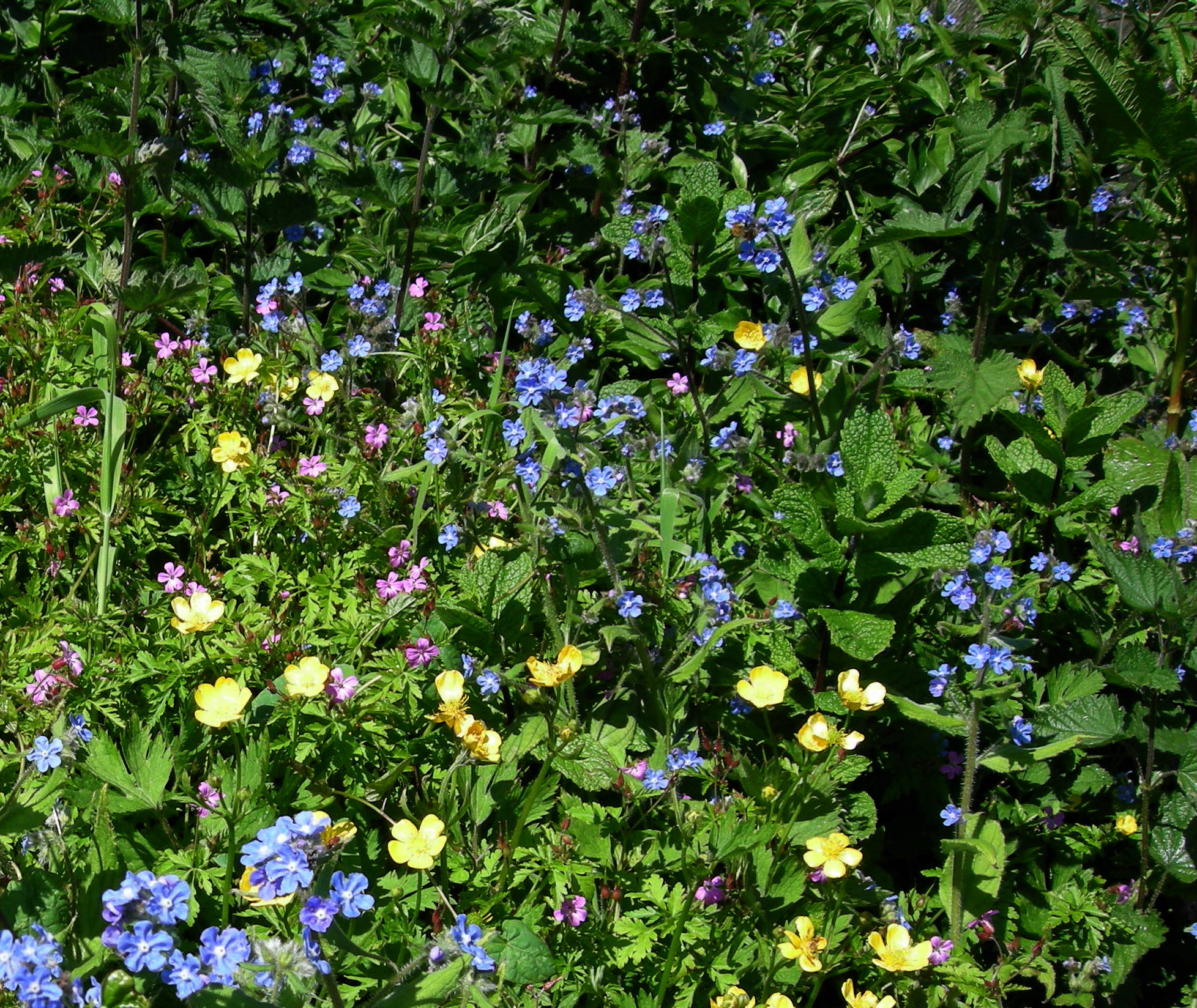
Bracken Hall Countryside Centre and Museum is a children's museum, natural history education centre and nature centre established in 1989 at Bracken Hall on the edge of Baildon Moor, close to Shipley Glen in West Yorkshire, England. In 2013 the Bradford Council removed their funding of the museum. The Friends of Bracken Hall worked to gather support in order to reopen the museum, and whilst the centre was planned to re-open in late 2015, it was finally re-opened to the public in April 2016 with the help of Baildon Town Council. Site layout Museum building and front garden Building This c. 1890s Yorkshire gritstone building was once a bailiff's house, then a farm house,Information from museum officer. and it still has the original big, old, panelled front door. It is of the traditional rural, symmetrical, four-up, four-down domestic design which was common in the Georgian era and continued throughout the 19th century. This type of house has two rooms each side ... [...More Info...] [...Related Items...] OR: [Wikipedia] [Google] [Baidu] |
City Of Bradford
The City of Bradford () is a local government district of West Yorkshire, England, with the status of a city and metropolitan borough. It is named after its largest settlement, Bradford, but covers a large area which includes the towns and villages of Keighley, Shipley, Bingley, Ilkley, Haworth, Silsden, Queensbury, Thornton and Denholme. Bradford has a population of 528,155, making it the fourth-most populous metropolitan district and the sixth-most populous local authority district in England. It forms part of the West Yorkshire Urban Area conurbation which in 2011 had a population of 1,777,934, and the city is part of the Leeds-Bradford Larger Urban Zone (LUZ), which, with a population of 2,393,300, is the fourth largest in the United Kingdom after London, Birmingham and Manchester. The city is situated on the edge of the Pennines, and is bounded to the east by the City of Leeds, the south by the Metropolitan Borough of Kirklees and the south west by the Metropolitan ... [...More Info...] [...Related Items...] OR: [Wikipedia] [Google] [Baidu] |
Bradford
Bradford is a city and the administrative centre of the City of Bradford district in West Yorkshire, England. The city is in the Pennines' eastern foothills on the banks of the Bradford Beck. Bradford had a population of 349,561 at the 2011 census; the second-largest population centre in the county after Leeds, which is to the east of the city. It shares a continuous built-up area with the towns of Shipley, Silsden, Bingley and Keighley in the district as well as with the metropolitan county's other districts. Its name is also given to Bradford Beck. It became a West Riding of Yorkshire municipal borough in 1847 and received its city charter in 1897. Since local government reform in 1974, the city is the administrative centre of a wider metropolitan district, city hall is the meeting place of Bradford City Council. The district has civil parishes and unparished areas and had a population of , making it the most populous district in England. In the century leadin ... [...More Info...] [...Related Items...] OR: [Wikipedia] [Google] [Baidu] |

.jpg)


