|
List Of Favelas In Brazil
This is a list of favelas in Brazil. This Portuguese word is commonly used in Brazil. Minas Gerais * Belo Horizonte ** Aglomerado da Serra ** Morro do Papagaio ** Acaba Mundo Santa Catarina * Florianópolis ** Monte Cristo Rio de Janeiro * Niterói ** Grota do Surucucu ** Morro do Estado * Rio de Janeiro (for a complete list, see the Portuguese WikiPedia article: ''Lista de favelas da cidade do Rio de Janeiro'') ** Babilônia ** Benjamin Constant ** Cajueiro ** Cantagalo–Pavão–Pavãozinho ** Chácara do Céu ** Chapéu Mangueira ** Cidade de Deus ** Complexo do Lins ** Complexo da Maré ** Complexo do Alemão ** Santa Marta ** Jacarezinho ** Ladeira dos Tabajaras ** Mangueira ** Manguinhos ** Mineira ** Morro Azul ** Morro da Babilônia ** Morro do Borel ** Morro dos Cabritos ** Morro do Cantagalo ** Morro dos Macacos ** Morro da Providência ** Rocinha ** Salgueiro ** Serrinha ** Tavares Bastos ** Tuiuti ** Vidigal ** Vila do João ** Vigário Geral * ... [...More Info...] [...Related Items...] OR: [Wikipedia] [Google] [Baidu] |
Favela
Favela () is an umbrella name for several types of working-class neighborhoods in Brazil. The term was first used in the Providência neighborhood in the center of Rio de Janeiro in the late 19th century, which was built by soldiers who had lived under the favela trees in Bahia and had nowhere to live following the Canudos War. Some of the first settlements were called ''bairros africanos'' (African neighborhoods). Over the years, many former enslaved Africans moved in. Even before the first favela came into being, poor citizens were pushed away from the city and forced to live in the far suburbs. Most modern favelas appeared in the 1970s due to rural exodus, when many people left rural areas of Brazil and moved to cities. Unable to find places to live, many people found themselves in favelas. Census data released in December 2011 by the Brazilian Institute of Geography and Statistics (IBGE) showed that in 2010, about 6 percent of the Brazilian population lived in favelas ... [...More Info...] [...Related Items...] OR: [Wikipedia] [Google] [Baidu] |
Cidade De Deus (Rio De Janeiro)
The Cidade de Deus (, ''City of God'') is a West Zone neighborhood of the city of Rio de Janeiro. It is also known as CDD among its inhabitants. The neighborhood was founded in 1960, planned and executed by the government of Guanabara State as part of the policy to systematically remove slums (''favelas'') from the center of Rio de Janeiro and resettle their inhabitants in the suburbs. It is used as backdrop in the 2002 film '' City of God''. In 2009, it was occupied by a Pacifying Police Unit. Basic statistics * Area (2003): 1.2058 km2 (0.4656 mi2; 298 acres) * Population (2000): 38,016 * Residences (2000): 10,866 * Administrative region: XXXIV - Cidade de Deus In literature and film Known in English as '' City of God'', ''Cidade de Deus'' is the eponymous name of a 1997 semi-autobiographical novel by Paulo Lins, about three young men and their lives of petty crime during the 1960s, 1970s and 1980s in the favela where Lins grew up. An English translation by Aliso ... [...More Info...] [...Related Items...] OR: [Wikipedia] [Google] [Baidu] |
Morro Dos Cabritos
Morro (Spanish and Portuguese for "hill") may refer to: Buildings *El Morro mine, Atacama, Chile *El Morro National Monument, New Mexico * Morro del Tulcán, pyramid in Popayán, Cauca *Morro Castle (Havana), fortress in Havana, Cuba * El Morro de San Felipe, fortress in Puerto Plata, Dominican Republic *Castillo San Felipe del Morro, a citadel in San Juan, Puerto Rico Geology *Morro Rock, a volcanic plug located just offshore from Morro Bay, California * Isla El Morro, island near Acapulco, Mexico *Isla El Morro, small island near Taboga Island, Panama Places ;Brazil * Morro Agudo, a municipality in the state of São Paulo * Morro Agudo de Goiás, a municipality in the state of Goiás * Morro Cabeça no Tempo, a municipality in the state of Piauí * Morro da Fumaça, a municipality in the state of Santa Catarina * Morro do Chapéu, a municipality in the state of Bahia * Morro do Chapéu do Piauí, a municipality in the state of Piauí * Morro da Garça, a municipality in the ... [...More Info...] [...Related Items...] OR: [Wikipedia] [Google] [Baidu] |
Morro Do Borel
Morro (Spanish and Portuguese for "hill") may refer to: Buildings *El Morro mine, Atacama, Chile *El Morro National Monument, New Mexico * Morro del Tulcán, pyramid in Popayán, Cauca *Morro Castle (Havana), fortress in Havana, Cuba * El Morro de San Felipe, fortress in Puerto Plata, Dominican Republic *Castillo San Felipe del Morro, a citadel in San Juan, Puerto Rico Geology * Morro Rock, a volcanic plug located just offshore from Morro Bay, California * Isla El Morro, island near Acapulco, Mexico *Isla El Morro, small island near Taboga Island, Panama Places ;Brazil * Morro Agudo, a municipality in the state of São Paulo * Morro Agudo de Goiás, a municipality in the state of Goiás * Morro Cabeça no Tempo, a municipality in the state of Piauí * Morro da Fumaça, a municipality in the state of Santa Catarina * Morro do Chapéu, a municipality in the state of Bahia * Morro do Chapéu do Piauí, a municipality in the state of Piauí * Morro da Garça, a municipality in ... [...More Info...] [...Related Items...] OR: [Wikipedia] [Google] [Baidu] |
Morro Da Babilônia
The Morro da Babilônia (, ''Babylon Hill'') is a hill in the Leme neighbourhood of Rio de Janeiro, separating Copacabana beach from Botafogo. It is home to a ''favela'' known by the same name, as well as the favela Chapéu Mangueira. Morro da Babilônia is an environmentally protected area. History In the 18th century the Portuguese constructed a fortress on the top of the hill to protect the entrance to Guanabara Bay.Na trilha das lendas , Cristina Romanelli, Revista de História, October 26, 2010 In the beginning of the 20th century, the engineer Augusto Ferreira Ramos, projected a connection of Babilônia hill with Urca Hill, as part of the festivities of Centenary of Ports Opening. [...More Info...] [...Related Items...] OR: [Wikipedia] [Google] [Baidu] |
Morro Azul
Morro (Spanish and Portuguese for "hill") may refer to: Buildings *El Morro mine, Atacama, Chile *El Morro National Monument, New Mexico * Morro del Tulcán, pyramid in Popayán, Cauca *Morro Castle (Havana), fortress in Havana, Cuba * El Morro de San Felipe, fortress in Puerto Plata, Dominican Republic *Castillo San Felipe del Morro, a citadel in San Juan, Puerto Rico Geology *Morro Rock, a volcanic plug located just offshore from Morro Bay, California * Isla El Morro, island near Acapulco, Mexico *Isla El Morro, small island near Taboga Island, Panama Places ;Brazil * Morro Agudo, a municipality in the state of São Paulo * Morro Agudo de Goiás, a municipality in the state of Goiás * Morro Cabeça no Tempo, a municipality in the state of Piauí * Morro da Fumaça, a municipality in the state of Santa Catarina * Morro do Chapéu, a municipality in the state of Bahia * Morro do Chapéu do Piauí, a municipality in the state of Piauí * Morro da Garça, a municipality in the ... [...More Info...] [...Related Items...] OR: [Wikipedia] [Google] [Baidu] |
Manguinhos, Rio De Janeiro
Manguinhos is a neighborhood in the North Zone of Rio de Janeiro, Brazil Brazil ( pt, Brasil; ), officially the Federative Republic of Brazil (Portuguese: ), is the largest country in both South America and Latin America. At and with over 217 million people, Brazil is the world's fifth-largest country by area .... Neighbourhoods in Rio de Janeiro (city) {{RiodeJaneiro-geo-stub ... [...More Info...] [...Related Items...] OR: [Wikipedia] [Google] [Baidu] |
Mangueira
Mangueira (''Mango Tree'') is a shantytown neighborhood (favela) in the city of Rio de Janeiro, Brazil, centered on the Mangueira hill or ''morro''. It is most famous for its samba school, the Grêmio Recreativo Escola de Samba Estação Primeira de Mangueira, called for short Estação Primeira de Mangueira (First Mangueira rain Rain is water droplets that have condensed from atmospheric water vapor and then fall under gravity. Rain is a major component of the water cycle and is responsible for depositing most of the fresh water on the Earth. It provides water ...Station) or simply Mangueira, which is one of strongest competitors in the annual Rio Carnival samba competition. Neighbourhoods in Rio de Janeiro (city) Favelas {{RiodeJaneiro-geo-stub ... [...More Info...] [...Related Items...] OR: [Wikipedia] [Google] [Baidu] |
Jacarezinho, Rio De Janeiro
Jacarezinho is a Brazilian neighborhood and also a favela with more than 60,300 residents living in an area of 40 ha. The place is located in the Rio de Janeiro#North Zone, North Zone of Rio de Janeiro city, and it borders the neighborhoods of Jacaré, Rio de Janeiro, Jacaré, Méier, Rio de Janeiro, Méier, Engenho Novo, Rio de Janeiro, Engenho Novo and Triagem, Rio de Janeiro, Triagem. It is the third largest favela in Rio de Janeiro, only behind Rocinha, Rio de Janeiro, Rocinha and Complexo do Alemão, Rio de Janeiro, Complexo do Alemão. The favela expanded along with the city's industrialization, and it became the biggest favela in Rio de Janeiro by the mid-20th century, with a population of 23,000 in 1960. The crucial element in its growth was the industrial boom in the nearby Méier district after World War II, according to historian by Julio César Pino, author of a book about the favelas of Rio de Janeiro. Jacarezinho suffers common favela problems, including violence, po ... [...More Info...] [...Related Items...] OR: [Wikipedia] [Google] [Baidu] |
Favela Santa Marta
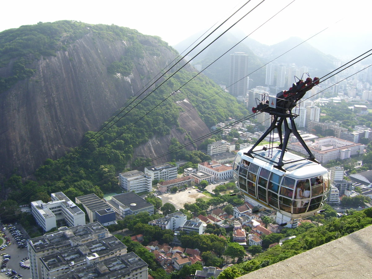
Favela Santa Marta (, ''Saint Martha's favela'') is a favela located in the Botafogo and Laranjeiras part of the Morro Dona Marta (, ''Dame Martha's Hill''), that is also divided with the neighborhoods of Flamengo, Cosme Velho and Silvestre, in the South Zone of Rio de Janeiro, Brazil. It has about 3,913 residents and 1,287 domiciles, with 500 wooden houses, 2,000 brick houses, 4 kindergartens, 3 bakeries, 2 sports fields, 1 block of a samba school, 3 military units and 1 small market. The favela is one of the steepest in the city, with an altitude of , approximately 45 degrees of inclination and occupies an area equivalent to . Recently, the favela has been undergoing a process of urbanization. Several popular houses were built with sewage, water piping and installation of electrical cables. One of the most important works done in recent years in Dona Marta was the construction of a cable car that facilitates the transport of residents to higher areas of the hill. Morro Dona Mar ... [...More Info...] [...Related Items...] OR: [Wikipedia] [Google] [Baidu] |


