|
Leytonstone
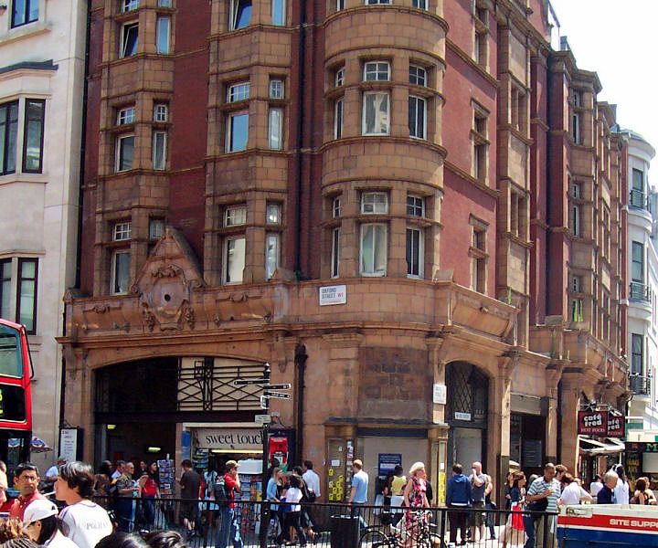
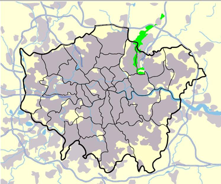
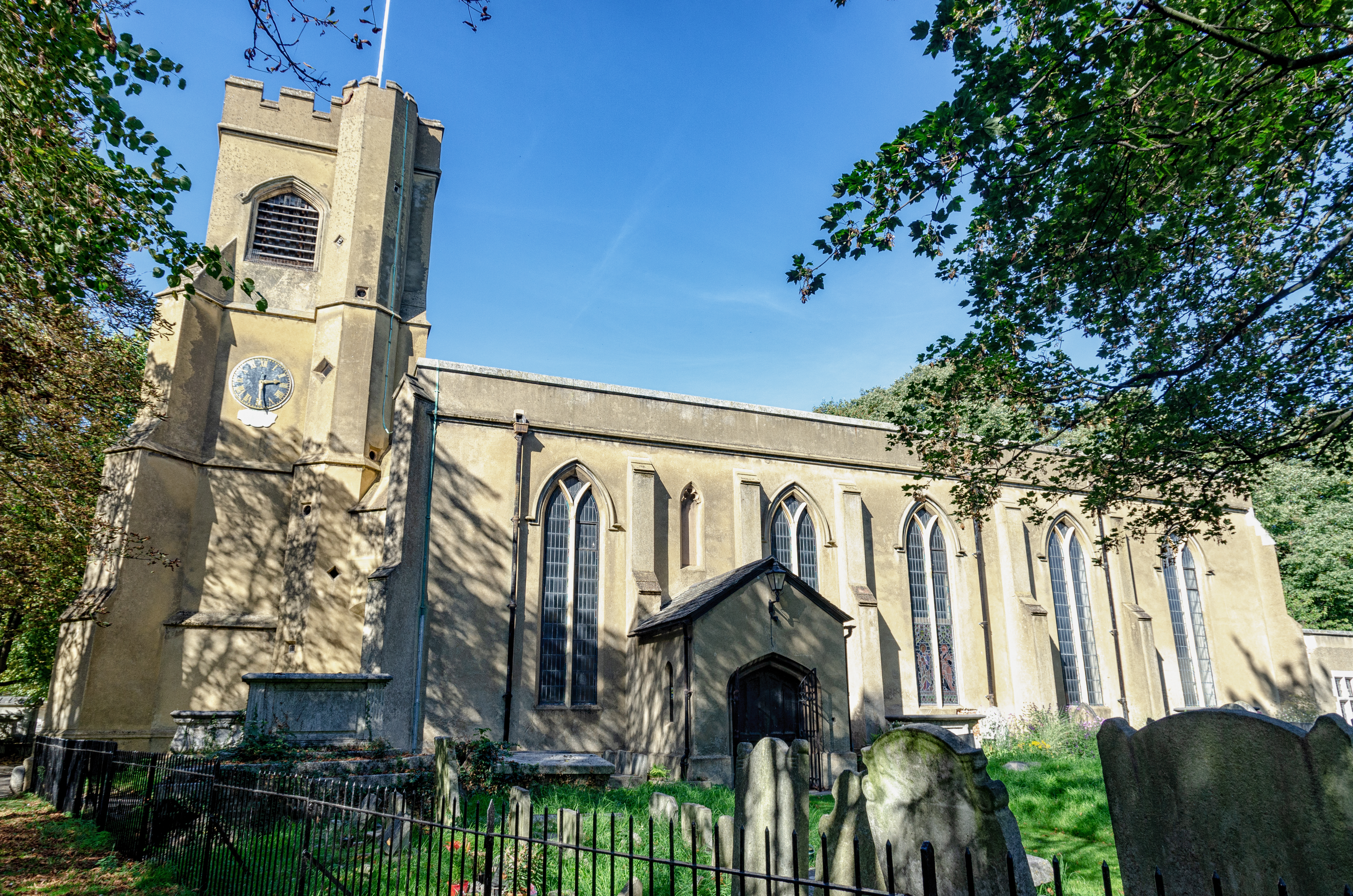
Leytonstone () is an area in east London, England, north-east of Charing Cross. Part of the London Borough of Waltham Forest, a local authority district of Greater London. It adjoins Wanstead to the north-east, Forest Gate to the south-east, Stratford, London, Stratford to the south-west, Leyton to the west, and Walthamstow to the north-west. Historically part of the ancient parish of Municipal Borough of Leyton, Leyton in the Becontree Hundred, Becontree hundred of Essex, the first documented evidence of settlement is from the 14th century, describing a Hamlet_(place), hamlet at ‘Leyton-atte-stone’; a reference to the Milestone#Roman_Empire, Roman milestone located within the area, that formed a northerm boundary of the parish. It remained largely rural until the 19th century, becoming part of the London postal district in 1856, the same year its Leytonstone tube station, railway station was opened (now on the Central line (London Underground), Central line). When Greater ... [...More Info...] [...Related Items...] OR: [Wikipedia] [Google] [Baidu] |
Leytonstone Tube Station
Leytonstone is a London Underground station in Leytonstone in the London Borough of Waltham Forest, east London. It is on the Central line, on the boundary of Zones 3 and 4. Towards Central London the next station is Leyton, while going east from Leytonstone, the line divides into two branches. On the direct route to Woodford and Epping the next stop is Snaresbrook, and on the Hainault loop it is Wanstead. The station is close to Whipps Cross University Hospital. History The railway line from Loughton Branch Junction (on the Lea Valley line between and ) to Loughton was built by the Eastern Counties Railway, and opened on 22 August 1856. A station at Leytonstone was opened on the same day. In turn it became, from 1862, part of the Great Eastern Railway system and then in 1923 part of the London & North Eastern Railway before being transferred to London Transport in 1947. This formed part of the "New Works Programme 1935 – 1940" that was to see major changes at Leytonstone ... [...More Info...] [...Related Items...] OR: [Wikipedia] [Google] [Baidu] |
Green Man, Leytonstone
The Green Man is a pub and road junction on High Road, Leytonstone, London. The pub has been rebranded as part of the O'Neill's chain. The current 1920s building replaced an earlier public house, close to the original site; which was built around 1668 and mentioned by Daniel Defoe. A statue called ''Leaf Memory'' by Stephen Duncan was erected in 2001 at Grove Road and High Road in Bushwood depicting the Green Man sat with head lowered in his arms. The Green Man Public House There has been a pub at this location since around 1668. On 22 August 1722, Christopher Layer and Stephen Lynch were arrested in the pub over a plot to assassinate King George I. A robbery by Dick Turpin reportedly took place outside the premises on 30 April 1737, when Turpin attacked Joseph Major and took his horse and around £7 to £8 in silver. The pub is named by Daniel Defoe in his account "Tour through the Eastern Counties of England", published as part of ''A tour thro' the whole island of Great Br ... [...More Info...] [...Related Items...] OR: [Wikipedia] [Google] [Baidu] |
London Borough Of Waltham Forest
The London Borough of Waltham Forest () is a London borough in north-east London, England. Its population is estimated to be 276,983 in 2019. It borders five other London boroughs: Enfield to the north-west, Haringey to the west, Hackney to the south-west, Newham to the south-east and Redbridge to the east, as well as the non-metropolitan county of Essex to the north. The borough was formed in 1965 from the merger of the municipal boroughs of Leyton, Walthamstow and Chingford; it took its name from Waltham Forest – an institution which managed deer in south-west Essex. Epping Forest is a remainder of the former Waltham Forest and forms the eastern and northern fringe of the borough. The River Lea lies to the west where its associated marshes and parkland form a green corridor which, along the reservoir-lined reaches, separates north and east London, and is the historic border between Middlesex and Essex. Waltham Forest was one of the host boroughs of the London Olympics i ... [...More Info...] [...Related Items...] OR: [Wikipedia] [Google] [Baidu] |
Central Line (London Underground)
The Central line is a London Underground line that runs through central London, from , Essex, in the north-east to and in west London. Printed in red on the Tube map, the line serves 49 stations over . It is one of only two lines on the Underground network to cross the Greater London boundary, the other being the Metropolitan line. One of London's deep-level railways, Central line trains are smaller than those on British main lines. The line was opened as the Central London Railway in 1900, crossing central London on an east–west axis along the central shopping street of Oxford Street to the financial centre of the City of London. It was later extended to the western suburb of Ealing. In the 1930s, plans were created to expand the route into the new suburbs, taking over steam-hauled outer-suburban routes to the borders of London and beyond to the east. These projects were mostly realised after Second World War, when construction stopped and the unused tunnels were used as air ... [...More Info...] [...Related Items...] OR: [Wikipedia] [Google] [Baidu] |
Leyton
Leyton () is a town in east London, England, within the London Borough of Waltham Forest. It borders Walthamstow to the north, Leytonstone to the east, and Stratford to the south, with Clapton, Hackney Wick and Homerton, across the River Lea, to the west. The area includes New Spitalfields Market, Leyton Orient Football Club, as well as part of the Queen Elizabeth Olympic Park. The town consists largely of terraced houses built between 1870 and 1910, interspersed with some modern housing estates. It is north-east of Charing Cross. It was originally part of the ancient parish of Leyton St Mary in the Becontree hundred and part of historic county of Essex. The town expanded rapidly in the late 19th century, forming part of the conurbation of London and becoming a suburb, similar to much of south-west Essex. It became part of the Metropolitan Police District in 1839 and has been part of the London postal district since its inception in 1856. The parish became an urban dis ... [...More Info...] [...Related Items...] OR: [Wikipedia] [Google] [Baidu] |
Epping Forest
Epping Forest is a area of ancient woodland, and other established habitats, which straddles the border between Greater London and Essex. The main body of the forest stretches from Epping in the north, to Chingford on the edge of the London built-up area. South of Chingford the forest narrows, and forms a green corridor that extends deep into East London, as far as Forest Gate; the Forest's position gives rise to its nickname, the ''Cockney Paradise''. It is the largest forest in London. It lies on a ridge between the valleys of the rivers Lea and Roding. It contains areas of woodland, grassland, heath, streams, bogs and ponds, and its elevation and thin gravelly soil (the result of glaciation) historically made it less suitable for agriculture. The Forest was historically managed as a common; the land was held by a number of local landowners who exercised economic rights over aspects such as timber, while local commoners had grazing and other rights. It was designated a ... [...More Info...] [...Related Items...] OR: [Wikipedia] [Google] [Baidu] |
Alfred Hitchcock
Sir Alfred Joseph Hitchcock (13 August 1899 – 29 April 1980) was an English filmmaker. He is widely regarded as one of the most influential figures in the history of cinema. In a career spanning six decades, he directed over 50 feature films, many of which are still widely watched and studied today. Known as the "Master of Suspense", he became as well known as any of his actors thanks to his many interviews, his cameo roles in most of his films, and his hosting and producing the television anthology '' Alfred Hitchcock Presents'' (1955–65). His films garnered 46 Academy Award nominations, including six wins, although he never won the award for Best Director despite five nominations. Hitchcock initially trained as a technical clerk and copy writer before entering the film industry in 1919 as a title card designer. His directorial debut was the British-German silent film '' The Pleasure Garden'' (1925). His first successful film, '' The Lodger: A Story of the London F ... [...More Info...] [...Related Items...] OR: [Wikipedia] [Google] [Baidu] |
Walthamstow
Walthamstow ( or ) is a large town in East London, east London, England, within the Ceremonial counties of England, ceremonial county of Greater London and the Historic counties of England, ancient county of Essex. Situated northeast of Charing Cross, the town borders Chingford to the north, Snaresbrook and South Woodford to the east, Leyton and Leytonstone to the south, and Tottenham to the west. At the 2011 census, the town had a population of approximately 109,424. Occupying most of the town's east-to-west High Street, Walthamstow Market is the longest outdoor market in Europe. East of the town centre is Walthamstow Village, the oldest part of Walthamstow, and the location of St. Mary's Church, Walthamstow, St Mary's Church, the town's parish church. To the north of the town is the former Walthamstow Stadium, which was considered an Cockney, East End landmark. The William Morris Gallery in Forest Road, a museum that was once the family home of William Morris, is a Grade II* ... [...More Info...] [...Related Items...] OR: [Wikipedia] [Google] [Baidu] |
A12 Road (England)
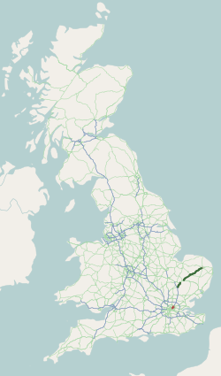
The A12 is a major road in Eastern England. It runs north-east/south-west between London and the coastal town of Lowestoft in the north-eastern corner of Suffolk, following a similar route to the Great Eastern Main Line until Ipswich. A section of the road between Lowestoft and Great Yarmouth became part of the A47 in 2017. Between the junctions with the M25 and the A14, the A12 forms part of the unsigned Euroroute E30 (prior to 1985, it was the E8). Unlike most A roads, this section of the A12, together with the A14 and the A55, has junction numbers as if it were a motorway. The section of the A12 through Essex has sections of dual two lanes and dual three lanes, with eight changes in width between the M25 to Ipswich. It was named as Britain's worst road because of "potholes and regular closures due to roadworks" in a 2007 survey by Cornhill Insurance. The A12 is covered by Highways England's A12 and A120 Route Management Strategy. Starting just north of the Blackwall Tu ... [...More Info...] [...Related Items...] OR: [Wikipedia] [Google] [Baidu] |
A1199 Road
The A11 is a major trunk road in England. It runs roughly north east from London to Norwich, Norfolk, although after the M11 opened in the 1970s and then the A12 extension in 1999, a lengthy section has been downgraded between the suburbs of east London and the north-west corner of the county of Essex. It also multiplexes/overlaps with the A14 on the Newmarket bypass. Route City of London All this part has been declassified and is now a minor road. Thus the A11 now starts at Aldgate, just inside the eastern boundary of the City of London. The first stretch is Whitechapel High Street, east of the junction with Mansell Street. In a complex reworking of the roads since the days of the Aldgate gyratory system, it is two-way, but the east-bound section is part of the ring-road that retained a one-way system south of this junction, but the west-bound section is for local access and you have to U-turn to avoid entering the congestion charging zone. Tower Hamlets East of Aldgate ... [...More Info...] [...Related Items...] OR: [Wikipedia] [Google] [Baidu] |
Leyton And Wanstead (UK Parliament Constituency)
Leyton and Wanstead is a List of United Kingdom Parliament constituencies, constituency created in 1997 and represented in the House of Commons of the United Kingdom, House of Commons of the Parliament of the United Kingdom, UK Parliament since 2010 by John Cryer of the Labour Party (UK), Labour Party. Boundaries Uniting for general elections areas from the boroughs of London Borough of Redbridge, Redbridge and London Borough of Waltham Forest, Waltham Forest in inner north-east London, the constituency covers Leyton, Wanstead & Leytonstone. The seat was created for the 1997 election succeeding the Leyton (UK Parliament constituency), Leyton constituency, with parts of what had been the formerly safe Conservative Party (UK), Conservative Wanstead and Woodford (UK Parliament constituency), Wanstead and Woodford constituency. It has an electorate of approximately 60,000. The seat has electoral wards: *Snaresbrook; and Wanstead ''in the London Borough of Redbridge:'' *Cann Ha ... [...More Info...] [...Related Items...] OR: [Wikipedia] [Google] [Baidu] |
London Postal District
The London postal district is the area in England of to which mail addressed to the London post town is delivered. The General Post Office under the control of the Postmaster General directed Sir Rowland Hill to devise the area in 1856 and throughout its history it has been subject to reorganisation and division into increasingly smaller postal units, with the early loss of two compass points and a minor retraction in 1866. It was integrated by the Post Office into the national postcode system of the United Kingdom during the early 1970s and corresponds to the E, EC, N, NW, SE, SW, W and WC postcode areas. The postal district has also been known as the London postal area. The County of London was much smaller, at , but Greater London is much larger at . History Origins By the 1850s, the rapid growth of the metropolitan area meant it became too large to operate efficiently as a single post town. A Post Office inquiry into the problem had been set up in 1837 and a House ... [...More Info...] [...Related Items...] OR: [Wikipedia] [Google] [Baidu] |


