|
Letha, Idaho
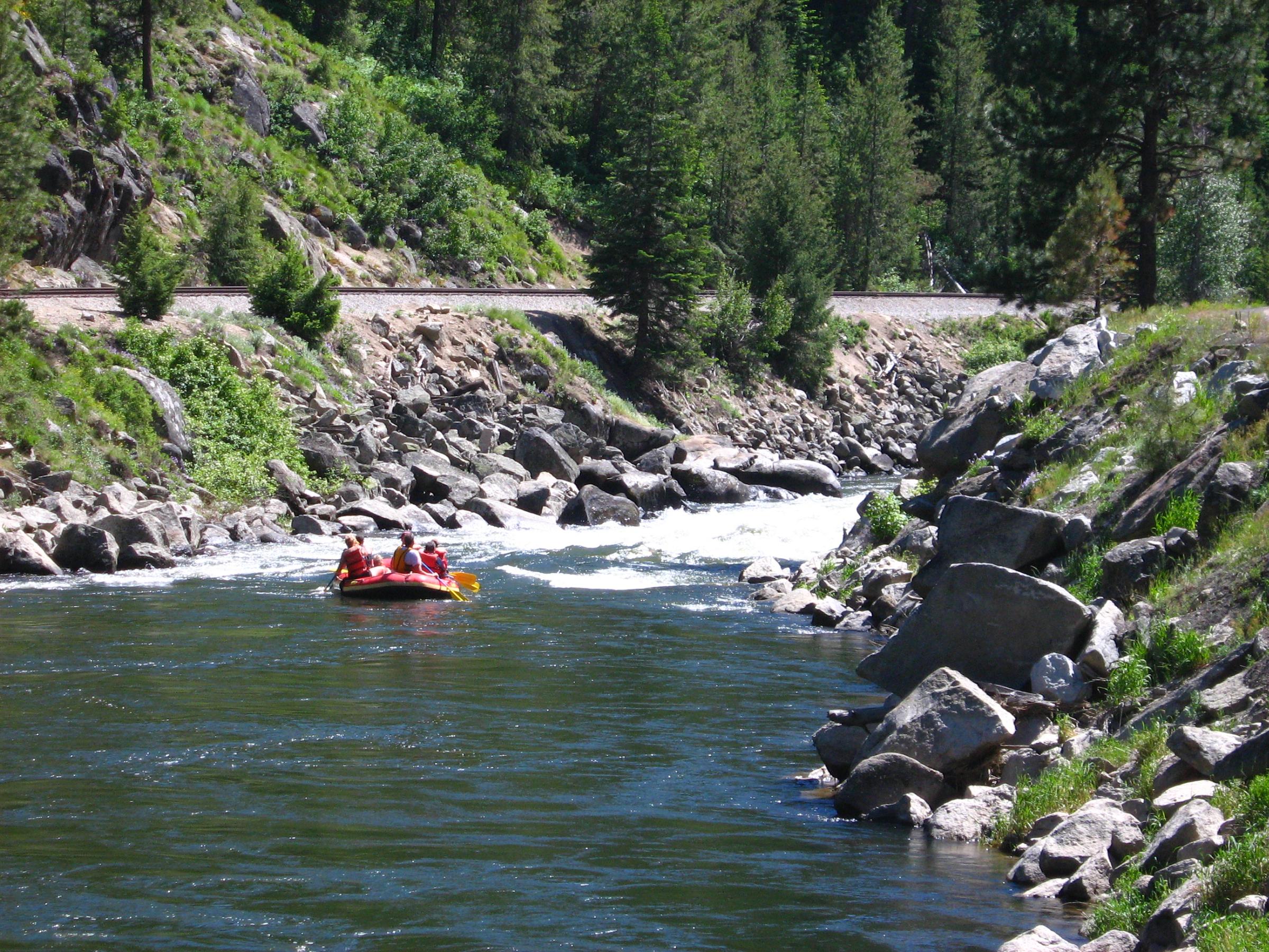
Letha is an unincorporated community in Gem County, Idaho The community is located west of Emmett. The Payette River flows northeast of Letha. History Letha was founded by W.W. Wilton and a Colonel Barnard and named for Wilton's daughter, Letha Wilton. It was built approximately midway along the railway running from Emmett to New Plymouth, Idaho, with anticipation that it would become a major rail center; although this never occurred, Letha today remains a service center for the adjacent farms and ranches. Letha's population was estimated at 100 in 1960. Utilities and services The community includes a fire department, religious facilities, and manufacturing facilities. Higher education, police, medical and legal services are found at nearby Emmett. , Gem County Chamber of Commerce, 2009. Accessed 2009-05-19. Notable people< ...
|
Unincorporated Area
An unincorporated area is a region that is not governed by a local municipal corporation. Widespread unincorporated communities and areas are a distinguishing feature of the United States and Canada. Most other countries of the world either have no unincorporated areas at all or these are very rare: typically remote, outlying, sparsely populated or List of uninhabited regions, uninhabited areas. By country Argentina In Argentina, the provinces of Chubut Province, Chubut, Córdoba Province (Argentina), Córdoba, Entre Ríos Province, Entre Ríos, Formosa Province, Formosa, Neuquén Province, Neuquén, Río Negro Province, Río Negro, San Luis Province, San Luis, Santa Cruz Province, Argentina, Santa Cruz, Santiago del Estero Province, Santiago del Estero, Tierra del Fuego Province, Argentina, Tierra del Fuego, and Tucumán Province, Tucumán have areas that are outside any municipality or commune. Australia Unlike many other countries, Australia has only local government in Aus ... [...More Info...] [...Related Items...] OR: [Wikipedia] [Google] [Baidu] |
Federal Information Processing Standard
The Federal Information Processing Standards (FIPS) of the United States are a set of publicly announced standards that the National Institute of Standards and Technology (NIST) has developed for use in computer systems of non-military, American government agencies and contractors. FIPS standards establish requirements for ensuring computer security and interoperability, and are intended for cases in which suitable industry standards do not already exist. Many FIPS specifications are modified versions of standards the technical communities use, such as the American National Standards Institute (ANSI), the Institute of Electrical and Electronics Engineers (IEEE), and the International Organization for Standardization (ISO). Specific areas of FIPS standardization The U.S. government has developed various FIPS specifications to standardize a number of topics including: * Codes, e.g., FIPS county codes or codes to indicate weather conditions or emergency indications. In 1994, Nat ... [...More Info...] [...Related Items...] OR: [Wikipedia] [Google] [Baidu] |
Boise Metropolitan Area
The Boise–Nampa, Idaho Metropolitan Statistical Area (MSA) (commonly known as the Boise Metropolitan Area or the Treasure Valley) is an area that encompasses Ada, Boise, Canyon, Gem, and Owyhee counties in southwestern Idaho, anchored by the cities of Boise and Nampa. It is the main component of the wider Boise–Mountain Home–Ontario, ID–OR Combined Statistical Area, which adds Elmore and Payette counties in Idaho and Malheur County, Oregon. It is the state's largest officially designated metropolitan area and includes Idaho's three largest cities: Boise, Nampa, and Meridian. Nearly 40 percent of Idaho's total population lives in the area. As of the 2021 estimate, the Boise–Nampa, Idaho Metropolitan Statistical Area (MSA) had a population of 795,268, while the larger Boise City–Mountain Home–Ontario, ID–OR Combined Statistical Area (CSA) had a population of 850,341. The metro area is currently the third largest in the U.S. section of the Pacific Northwest afte ... [...More Info...] [...Related Items...] OR: [Wikipedia] [Google] [Baidu] |
Pro-Life (politician)
Pro-Life (born Marvin Thomas Richardson; August 5, 1941) is an American perennial candidate and strawberry farmer known for his strong opposition to abortion, which inspired him to legally change his name. He lives in the unincorporated community of Letha, Idaho. He has made several unsuccessful runs for political office in Idaho and has stated his intention to continue running for office until his death. Pro-Life ran in the 2020 United States House of Representatives elections in Idaho, receiving 2.2% of the vote, and was most recently the Constitution Party nominee in the 2022 Idaho lieutenant gubernatorial election, receiving 5.1%. Early life and education Born Marvin Thomas Richardson, Pro-Life was born in Carbon County, Wyoming to a Latter Day Saint family. He played basketball in high school and attended Brigham Young University on an athletic scholarship but was eventually cut from the varsity basketball team. He graduated from BYU in 1967 with a degree in political sc ... [...More Info...] [...Related Items...] OR: [Wikipedia] [Google] [Baidu] |
New Plymouth, Idaho
New Plymouth is a city in Payette County, Idaho. The population was 1,538 at the 2010 census, up from 1400 in 2000.Spokesman-Review - 2010 census - New Plymouth, Idaho - accessed 2011-12-23 It was incorporated on February 15, 1896. It is the host of the annual Payette County Fair and rodeo. New Plymouth is part of the , OR–ID Micropolitan Statistical Area. History New Plymouth was a colony town, bought and planned before it was settled. It was the combined project of a ...[...More Info...] [...Related Items...] OR: [Wikipedia] [Google] [Baidu] |
Payette River
The Payette River () is an U.S. Geological Survey. National Hydrography Dataset high-resolution flowline dataThe National Map accessed May 3, 2011 river in southwestern Idaho and is a major tributary of the Snake River. Its headwaters originate in the Sawtooth and Salmon River Mountains at elevations over . Drainage in the watershed flows primarily from east to west, with the cumulative stream length to the head of the North Fork Payette River being , while to the head of the South Fork the cumulative length is nearly . The combined Payette River flows into an agricultural valley and empties into the Snake River near the city of Payette at an elevation of . The Payette River's drainage basin comprises about . It is a physiographic section of the Columbia Plateau province, which in turn is part of the larger Intermontane Plateaus physiographic division. The South Fork of the Payette has its headwaters in the Sawtooth Wilderness, which is part of the Sawtooth National Recreation ... [...More Info...] [...Related Items...] OR: [Wikipedia] [Google] [Baidu] |
Emmett, Idaho
Emmett is a city in Gem County, Idaho, United States. The population was 6,557 at the 2010 census, up from 5,490 in 2000. It is the county seat and the only city in the county. Emmett is part of the Boise− Nampa, Idaho Metropolitan Statistical Area. History Rising some above sea level, Squaw Butte, named by onfederate Settlers new to the area Native Americans who used this area as their winter resort, stands at the north end of the valley. The Payette River was named after Francois Payette, a fur trader from Quebec who was put in charge of old Fort Boise in 1818 and traveled through the area. Permanent settlement began in the early 1860s, after gold discoveries in the Boise Basin brought people over the established stage and pack train routes. Two of these trails joined at the Payette River north of the present river bridge in Emmett. Originally it was called Martinsville after Nathaniel Martin. Next, the name was changed to "Emmettville," because it was primarily a post ... [...More Info...] [...Related Items...] OR: [Wikipedia] [Google] [Baidu] |
Geographic Names Information System
The Geographic Names Information System (GNIS) is a database of name and locative information about more than two million physical and cultural features throughout the United States and its territories, Antarctica, and the associated states of the Marshall Islands, Federated States of Micronesia, and Palau. It is a type of gazetteer. It was developed by the United States Geological Survey (USGS) in cooperation with the United States Board on Geographic Names (BGN) to promote the standardization of feature names. Data were collected in two phases. Although a third phase was considered, which would have handled name changes where local usages differed from maps, it was never begun. The database is part of a system that includes topographic map names and bibliographic references. The names of books and historic maps that confirm the feature or place name are cited. Variant names, alternatives to official federal names for a feature, are also recorded. Each feature receives a per ... [...More Info...] [...Related Items...] OR: [Wikipedia] [Google] [Baidu] |
Area Codes 208 And 986
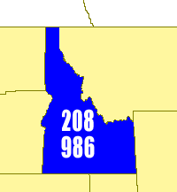
Area codes 208 and 986 are the area codes in the North American Numbering Plan for all of Idaho. Area code 208 is one of the 86 original area codes created by AT&T in 1947. It was Idaho's sole area code until 2017, when 986 was added as an overlay plan for the entire state. Because of its small population, Idaho was among a declining number of North American jurisdictions with only one area code. It is also one of the few whole-state area codes split between multiple LATAs—Southern Idaho (centered in Boise and spilling into Nevada, Wyoming and Malheur County, Oregon) and Coeur d'Alene (spilling into Montana and Washington). Additionally, the Spokane, Washington LATA spills into central Idaho. In 2001, the Federal Communications Commission projected that demand would exhaust the numbering pool of area code 208 in 2003. The number shortage was a result of the proliferation of landlines, cellphones, and pagers, particularly in urban areas, in the 1990s. However, in 2002 the I ... [...More Info...] [...Related Items...] OR: [Wikipedia] [Google] [Baidu] |
List Of Sovereign States
The following is a list providing an overview of sovereign states around the world with information on their status and recognition of their sovereignty. The 206 listed states can be divided into three categories based on membership within the United Nations System: 193 UN member states, 2 UN General Assembly non-member observer states, and 11 other states. The ''sovereignty dispute'' column indicates states having undisputed sovereignty (188 states, of which there are 187 UN member states and 1 UN General Assembly non-member observer state), states having disputed sovereignty (16 states, of which there are 6 UN member states, 1 UN General Assembly non-member observer state, and 9 de facto states), and states having a special political status (2 states, both in free association with New Zealand). Compiling a list such as this can be a complicated and controversial process, as there is no definition that is binding on all the members of the community of nations concerni ... [...More Info...] [...Related Items...] OR: [Wikipedia] [Google] [Baidu] |
Mountain Time Zone
The Mountain Time Zone of North America keeps time by subtracting seven hours from Coordinated Universal Time (UTC) when standard time ( UTC−07:00) is in effect, and by subtracting six hours during daylight saving time ( UTC−06:00). The clock time in this zone is based on the mean solar time at the 105th meridian west of the Greenwich Observatory. In the United States, the exact specification for the location of time zones and the dividing lines between zones is set forth in the Code of Federal Regulations at 49 CFR 71. In the United States and Canada, this time zone is generically called Mountain Time (MT). Specifically, it is Mountain Standard Time (MST) when observing standard time, and Mountain Daylight Time (MDT) when observing daylight saving time. The term refers to the Rocky Mountains, which range from British Columbia to New Mexico. In Mexico, this time zone is known as the or ("Pacific Zone"). In the US and Canada, the Mountain Time Zone is to the east of the ... [...More Info...] [...Related Items...] OR: [Wikipedia] [Google] [Baidu] |


