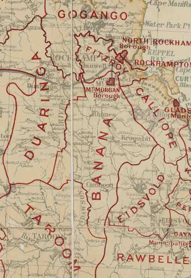
|
Lawgi Dawes
Lawgi Dawes is a rural locality in the Shire of Banana, Queensland, Australia. In the , Lawgi Dawes had a population of 144 people. It contains the neighbourhood of Lawgi, a former town. Geography Lawgi is an abandoned neighbourhood () within the locality. It is located on the Burnett Highway. Mardale is a neighbourhood (). It is located on Blackmans Yard Road. The area is a productive agricultural area with cattle and grain farming predominating. History During the planning to build the Rannes-Monto railway line, one of the proposed railway stations along the route was assigned the name ''Lawgi'' by the Railways Department in 1926. The name is believed to mean ''home'' in one of the Aboriginal languages. Dawes State School opened on 20 June 1932 and closed in October 1932. It was located near the proposed Dawes railway station at the intersection of the Burnett Highway and Blackmans Yard Road (approx ). Construction of the railway line commenced from Rannes. On Saturda ... [...More Info...] [...Related Items...] OR: [Wikipedia] [Google] [Baidu] |
AEST
Australia uses three main time zones: Australian Western Standard Time (AWST; UTC+08:00), Australian Central Standard Time (ACST; UTC+09:30), and Australian Eastern Standard Time (AEST; UTC+10:00). Time is regulated by the individual state governments, some of which observe daylight saving time (DST). Australia's external territories observe different time zones. Standard time was introduced in the 1890s when all of the Australian colonies adopted it. Before the switch to standard time zones, each local city or town was free to determine its local time, called local mean time. Now, Western Australia uses Western Standard Time; South Australia and the Northern Territory use Central Standard Time; while New South Wales, Queensland, Tasmania, Victoria (Australia), Victoria, Jervis Bay Territory, and the Australian Capital Territory use Eastern Standard Time. Daylight saving time (+1 hour) is used in jurisdictions in the south and south-east: South Australia, New South Wales, Vict ... [...More Info...] [...Related Items...] OR: [Wikipedia] [Google] [Baidu] |
Shire Of Banana
The Shire of Banana is a local government area located in the Capricorn region of Queensland, Australia, inland from the regional city of Gladstone. The shire was named after the first township in the region (Banana), which in turn was named for the burial site of a huge dun coloured bullock named 'Banana'. The council sits in the town of Biloela, which is the largest town in the Shire. Major industries in the shire include coal mining, beef production, power generation, dryland cropping and irrigation cropping such as lucerne and cotton. History Banana Division was created on 11 November 1879 as one of 74 divisions around Queensland under the ''Divisional Boards Act 1879'' with a population of 2155. The name ''Banana'' does not relate to the fruit, but rather the area was named after a dun-coloured bullock called ''Banana''. On 20 April 1881 part of Banana Division was separated to create Duaringa Division. With the passage of the ''Local Authorities Act 1902'', Banana ... [...More Info...] [...Related Items...] OR: [Wikipedia] [Google] [Baidu] |

