|
Las Lajas, Neuquén
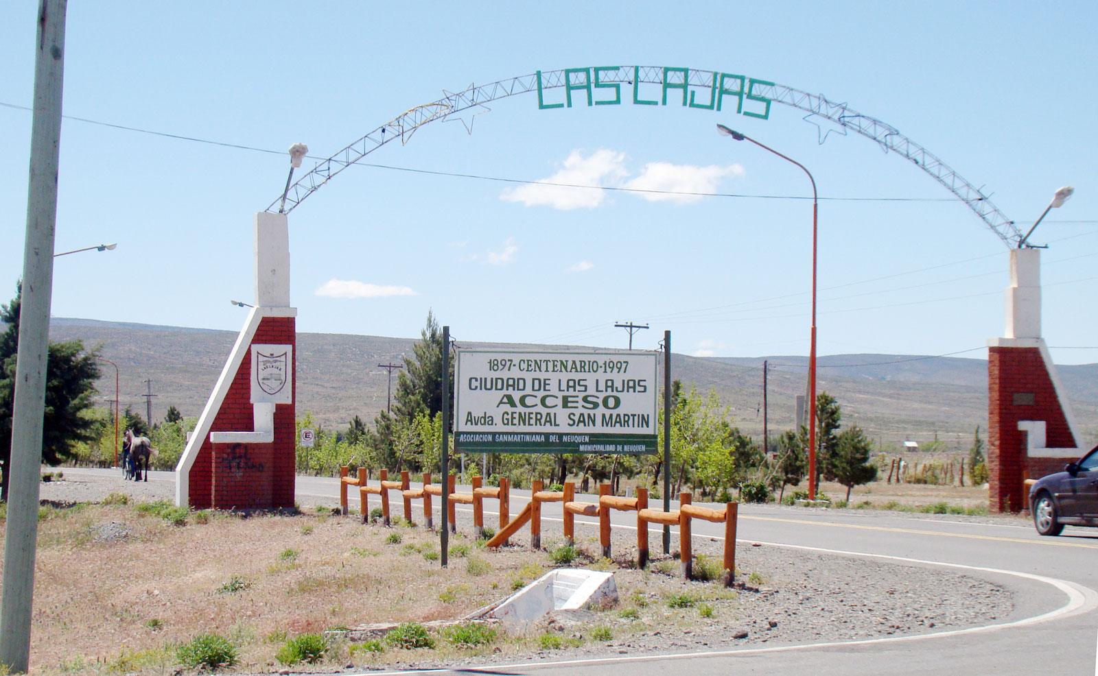
Las Lajas ("The Flagstones") is a town in Neuquén Province, Argentina, and the capital of Picunches Department. The town, at an altitude of above mean sea level, is located on the right shore of Agrio River at the Andean foothills. National Routes 22 and 40 intersect in this area of the central Neuquén Province. The Cuchillo Curá range, considered the most important underground ecosystem in Argentina, extends approximately from Las Lajas. Before the Araucanization of Patagonia, Las Lajas was originally populated by Pehuenche and Picunche natives. In 1788, the first expedition into the territory, under the command Francisco Esquivel y Aldao, reached Las Lajas. In 1882, commander Ortega established a fort for the Argentinian Army. The town was established on 8 February 1897, by General Enrique Godoy, the Argentinian Army's 4th Division commander. To take possession of the region and protect the inhabitants from the natives, the town became the headquarters of the 8th and 9th ... [...More Info...] [...Related Items...] OR: [Wikipedia] [Google] [Baidu] |
Provinces Of Argentina
Argentina is subdivided into twenty-three federated states called provinces ( es, provincias, singular ''provincia'') and one called the autonomous city (''ciudad autónoma'') of Buenos Aires, which is the federal capital of the republic ( es, Capital Federal, links=no) as decided by the National Congress of Argentina, Argentine Congress. The provinces and the capital have their own constitutions, and exist under a federalism, federal system. History During the Argentine War of Independence, War of Independence the main cities and their surrounding countrysides became provinces though the intervention of their Cabildo (council), ''cabildos''. The Anarchy of the Year XX completed this process, shaping the original thirteen provinces. Jujuy Province, Jujuy seceded from Salta Province, Salta in 1834, and the thirteen provinces became fourteen. After seceding for a decade, Buenos Aires Province accepted the 1853 Constitution of Argentina in 1861, and its capital city was made ... [...More Info...] [...Related Items...] OR: [Wikipedia] [Google] [Baidu] |
Confluencia Department
Confluencia is a department located in the east of Neuquén Province in Argentina. Neuquén, the capital city of the province, is located in this department. The department is named ''Confluencia'' after the confluence of the rivers Neuquén and Limay. Geography The department borders on the north with Añelo Department, on the east and southeast with Rio Negro Province, on the southwest with Picún Leufú Department and with Zapala Department on the west. Economy Agriculture Agriculture is one of the most important activities in the area. The major productions in the zone are apples, peaches and pears. Power sources Electricity In Confluencia Department there are many important power sources. In Villa El Chocón is located El Chocón Dam, one of the most important electricity sources of the country, with Yacyretá Dam located in Misiones Province. The power generated by the dam is 222 MVA for each generator, and 180 MVA for each transformer. A new kind of production of energy us ... [...More Info...] [...Related Items...] OR: [Wikipedia] [Google] [Baidu] |
Instituto Nacional De Tecnología Agropecuaria
The National Agricultural Technology Institute ( es, Instituto Nacional de Tecnología Agropecuaria), commonly known as INTA, is an Argentine federal extension agency in charge of the generation, adaptation and diffusion of technologies, knowledge and learning procedures for the agriculture, forest and agro-industrial activities within an ecologically clean environment. Even though the institute, created in 1956, depends on the Secretary of Agriculture, Livestock, Fishing and Food of the Ministry of Economy and Production, it has financial and operative autarkic autonomy given by law 25641/02 that provides the Institute with the 0.5% of the importations. Activities The INTA researches and produces information and technologies applied to processes and products, that are later forwarded to the producers. It works, for instance, in the genetic improvement and development of specific properties of diverse cereals, fruits, flowers, forest trees and vegetables, as well as the handling ... [...More Info...] [...Related Items...] OR: [Wikipedia] [Google] [Baidu] |
Wind Direction
Wind direction is generally reported by the direction from which it originates. For example, a ''north'' or ''northerly'' wind blows from the north to the south. The exceptions are onshore winds (blowing onto the shore from the water) and offshore winds (blowing off the shore to the water). Wind direction is usually reported in cardinal (or compass) direction, or in degrees. Consequently, a wind blowing from the north has a wind direction referred to as 0° (360°); a wind blowing from the east has a wind direction referred to as 90°, etc. Weather forecasts typically give the direction of the wind along with its speed, for example a "northerly wind at 15 km/h" is a wind blowing ''from'' the north at a speed of 15 km/h. Measurement techniques A variety of instruments can be used to measure wind direction, such as the windsock and wind vane. Both of these instruments work by moving to minimize air resistance. The way a weather vane is pointed by prevailing winds indicates the ... [...More Info...] [...Related Items...] OR: [Wikipedia] [Google] [Baidu] |
Vapor Pressure
Vapor pressure (or vapour pressure in English-speaking countries other than the US; see spelling differences) or equilibrium vapor pressure is defined as the pressure exerted by a vapor in thermodynamic equilibrium with its condensed phases (solid or liquid) at a given temperature in a closed system. The equilibrium vapor pressure is an indication of a liquid's evaporation rate. It relates to the tendency of particles to escape from the liquid (or a solid). A substance with a high vapor pressure at normal temperatures is often referred to as '' volatile''. The pressure exhibited by vapor present above a liquid surface is known as vapor pressure. As the temperature of a liquid increases, the kinetic energy of its molecules also increases. As the kinetic energy of the molecules increases, the number of molecules transitioning into a vapor also increases, thereby increasing the vapor pressure. The vapor pressure of any substance increases non-linearly with temperature according ... [...More Info...] [...Related Items...] OR: [Wikipedia] [Google] [Baidu] |
USDA Soil Taxonomy
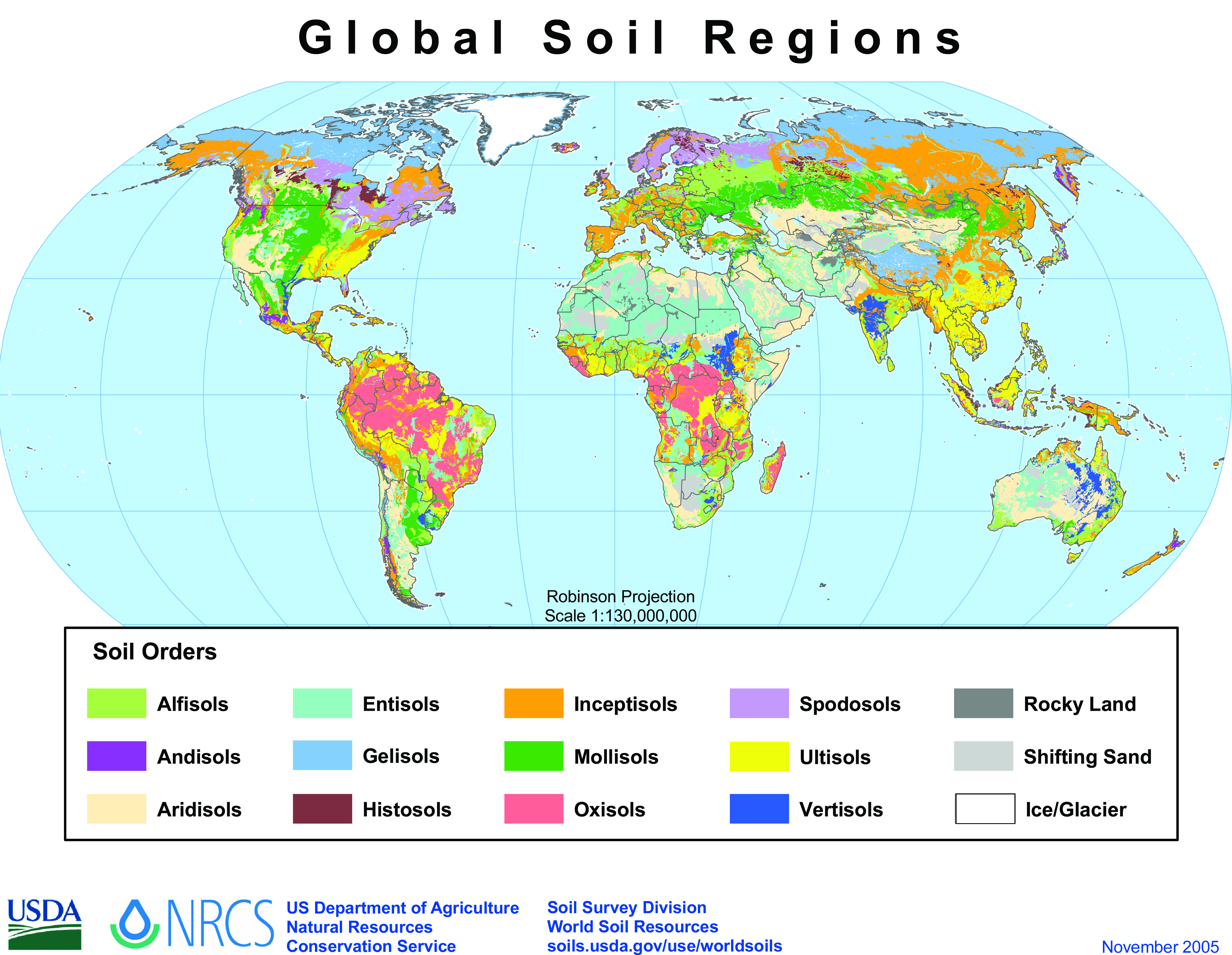
USDA soil taxonomy (ST) developed by the United States Department of Agriculture and the National Cooperative Soil Survey provides an elaborate classification of soil types according to several parameters (most commonly their properties) and in several levels: ''Order'', ''Suborder'', ''Great Group'', ''Subgroup'', ''Family'', and ''Series''. The classification was originally developed by Guy Donald Smith, former director of the U.S. Department of Agriculture's soil survey investigations. Discussion A taxonomy is an arrangement in a systematic manner; the USDA soil taxonomy has six levels of classification. They are, from most general to specific: order, suborder, great group, subgroup, family and series. Soil properties that can be measured quantitatively are used in this classification system – they include: depth, moisture, temperature, texture, structure, cation exchange capacity, base saturation, clay mineralogy, organic matter content and salt content. There are 12 soil ... [...More Info...] [...Related Items...] OR: [Wikipedia] [Google] [Baidu] |
Aridisols
Arid soils (or desert soils) are a soil order in USDA soil taxonomy. Aridisols (from the Latin ''aridus'', for "dry", and ''solum'') form in an arid or semi-arid climate. Aridisols dominate the deserts and xeric shrublands, which occupy about one third of the Earth's land surface. Aridisols have a very low concentration of organic matter, reflecting the paucity of vegetative production on these dry soils. Water deficiency is the major defining characteristic of Aridisols. Also required is sufficient age to exhibit subsoil weathering and development. Limited leaching in aridisols often results in one or more subsurface soil horizons in which suspended or dissolved minerals have been deposited: silicate clays, sodium, calcium carbonate, gypsum or soluble salts. These subsoil horizons can also be cemented by carbonates, gypsum or silica. Accumulation of salts on the surface can result in salinization. In the World Reference Base for Soil Resources (WRB), most Aridisols belong to ... [...More Info...] [...Related Items...] OR: [Wikipedia] [Google] [Baidu] |
Entisol
Entisols are soils defined in USDA soil taxonomy that do not show any profile development other than an A horizon. An entisol has no diagnostic horizons, and most are basically unaltered from their parent material, which can be unconsolidated sediment or rock. Entisols are the most abundant soil order, occupying about 16% of the global ice-free land area. Because of the diversity of their properties, suborders of entisols form individual Reference Soil Groups in the World Reference Base for Soil Resources (WRB): Psamments correlate with Arenosols and Fluvents with Fluvisols. Many Orthents belong to Regosols or Leptosols. Most Wassents and aquic subgroups of other suborders belong to the Gleysols. In Australia, most entisols are known as rudosols or tenosols. Causes of delayed or absent development * Unweatherable parent materials – sand, iron oxide, aluminium oxide, kaolinite clay. * Erosion – common on shoulder slopes; other kinds also important. * Deposition – continu ... [...More Info...] [...Related Items...] OR: [Wikipedia] [Google] [Baidu] |
Buenos Aires
Buenos Aires ( or ; ), officially the Autonomous City of Buenos Aires ( es, link=no, Ciudad Autónoma de Buenos Aires), is the capital and primate city of Argentina. The city is located on the western shore of the Río de la Plata, on South America's southeastern coast. "Buenos Aires" can be translated as "fair winds" or "good airs", but the former was the meaning intended by the founders in the 16th century, by the use of the original name "Real de Nuestra Señora Santa María del Buen Ayre", named after the Madonna of Bonaria in Sardinia, Italy. Buenos Aires is classified as an alpha global city, according to the Globalization and World Cities Research Network (GaWC) 2020 ranking. The city of Buenos Aires is neither part of Buenos Aires Province nor the Province's capital; rather, it is an autonomous district. In 1880, after decades of political infighting, Buenos Aires was federalized and removed from Buenos Aires Province. The city limits were enlarged to include t ... [...More Info...] [...Related Items...] OR: [Wikipedia] [Google] [Baidu] |
Zapala
Zapala is a city and touristic destination in the Patagonian province of Neuquén, Argentina with about 32,000 inhabitants according to the . The city is located at the geographic center of the province at the confluence of national and provincial roads, on a route to the Andes and Chile. The city hosts a Loma Negra cement plant. Zapala is near the Laguna Blanca National Park and a ski resort and is situated in a steppe region, known as Pehuenia, which has small Araucaria forests and includes the nearby town of Aluminé and other towns. History Zapala was founded on 12 July 1913, and turned into a municipality in 1948. It was (and still is) located around a railway station built by the Buenos Aires Great Southern Railway, a British-owned company taken over by the Ferrocarril General Roca after railway nationalisation in 1948 and, since railway privatisation in 1993, in the hands of Ferrosur Roca. The city is split in two by the railways; on one side there is a commerci ... [...More Info...] [...Related Items...] OR: [Wikipedia] [Google] [Baidu] |
Pino Hachado Pass
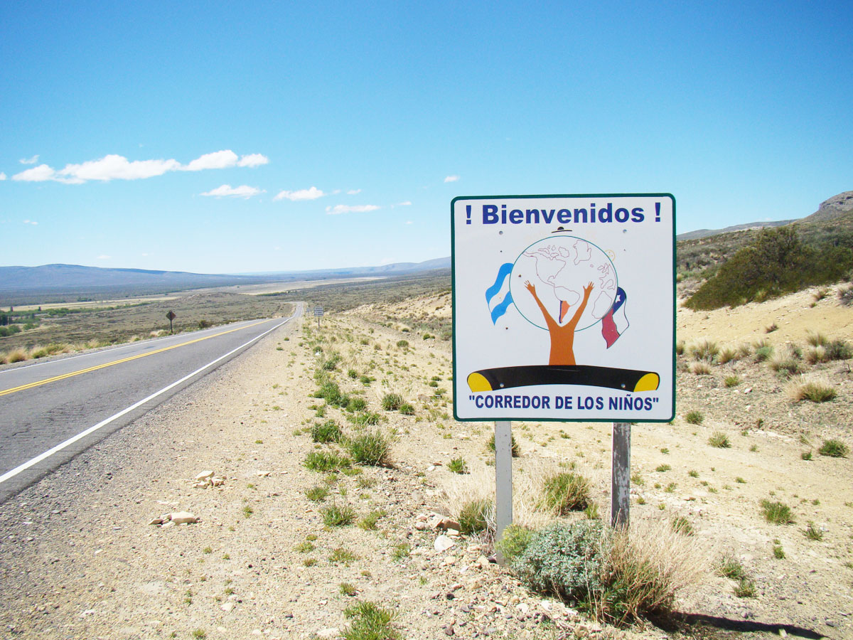
Pino Hachado Pass ( es, Paso Pino Hachado) is a mountain pass through the Andes, joining Chile and Argentina. It is one of the principal passes of the southern Andes, connecting Argentina's route RN-242 and Chile's Route 181-CH.' Transit must pass through Las Raíces Tunnel Las Raíces Tunnel ( es, Túnel Las Raíces) is a road tunnel in Chile. It is the longest of the very few tunnels in the southern Andes and is the second longest of South America (after the 2006 inauguration of the long tunnel ''Fernando Gómez ..., on the Chilean side. At its highest peak, Pino Hachado Pass is 1884 meters high. The climate is cold and dry, with summer temperatures recorded at 25 °C/77 °F, and winter temperatures recorded at -15 °C/5 °F. The closest inhabited locations are Las Lajas in Argentina, with approximately 5,000 inhabitants, and Liucura in Chile, with approximately 700 inhabitants. Both Las Lajas and Liucura communities have organized a project call ... [...More Info...] [...Related Items...] OR: [Wikipedia] [Google] [Baidu] |


