|
Lake Sherburne Dam
Lake Sherburne Dam is a high compacted earthfill dam built between 1914 and 1921, just outside the boundary of Glacier National Park, Montana, its reservoir extending into the park. The dam impounds Swiftcurrent Creek as it flows out of the park. Water stored in Lake Sherburne is released to flow down Swiftcurrent Creek to the St. Mary River, from which it is diverted to the Milk River, flowing through Canada for before returning to the United States. Use of these waters is governed by the Boundary Waters Treaty of 1909. Water from the Milk River is used for irrigation in north central Montana. Construction The principal storage facility for the Milk River Project was initially intended to be a dam on the St. Mary Lakes ( Upper St. Mary Lake in Glacier National Park and Lower St. Mary Lake just east of the park), but no suitable damsite could be found. The Sherburne Lakes in Swiftcurrent Valley were selected as an alternate site, with work beginning in 1914. Building materia ... [...More Info...] [...Related Items...] OR: [Wikipedia] [Google] [Baidu] |
Glacier County, Montana
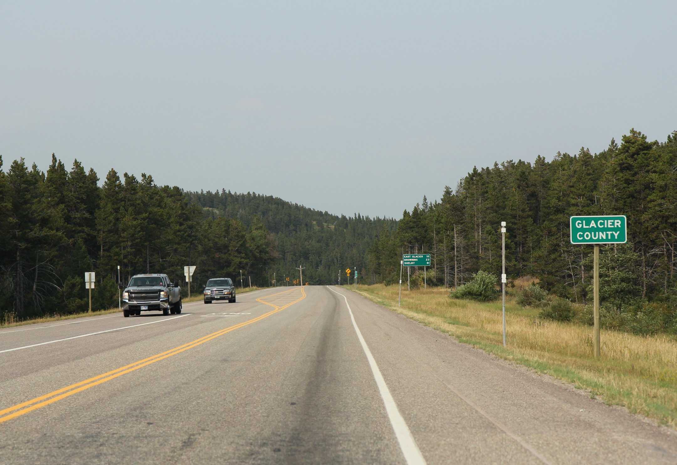
Glacier County is located in the U.S. state of Montana. As of the 2020 census, the population was 13,778. The county is located in northwestern Montana between the Great Plains and the Rocky Mountains, known to the Blackfeet as the "Backbone of the World". The county is geographically and culturally diverse and includes the Blackfeet Indian Reservation, Glacier National Park, and Lewis and Clark National Forest. The county is bordered by 75 miles of international boundary with two ports of entry ( Piegan and Del Bonita) open year-round and one seasonal (Chief Mountain) international border crossing into Alberta, Canada. Settlements Several small unincorporated communities, one incorporated town, and one incorporated city are located within the county. Cut Bank, the county seat with a population of around 3000, is located in eastern Glacier County, on the edge of the Great Plains. Cut Bank arose from the railroad and agriculture needs of the surrounding area, and was fostered ... [...More Info...] [...Related Items...] OR: [Wikipedia] [Google] [Baidu] |
Glacier National Park (U , in Patagonia, Argentina
{{disambig ...
Glacier National Park may refer to: *Glacier National Park (Canada), in British Columbia, Canada *Glacier National Park (U.S.), in Montana, USA See also *Glacier Bay National Park, in Alaska, USA *Los Glaciares National Park Los Glaciares National Park ( es, Parque Nacional Los Glaciares) is a federal protected area in Santa Cruz Province, Argentina. The park covers an area of , making it the largest national park in the country. Established on 11 May 1937, it host ... [...More Info...] [...Related Items...] OR: [Wikipedia] [Google] [Baidu] |
Montana
Montana () is a state in the Mountain West division of the Western United States. It is bordered by Idaho to the west, North Dakota and South Dakota to the east, Wyoming to the south, and the Canadian provinces of Alberta, British Columbia, and Saskatchewan to the north. It is the fourth-largest state by area, the eighth-least populous state, and the third-least densely populated state. Its state capital is Helena. The western half of Montana contains numerous mountain ranges, while the eastern half is characterized by western prairie terrain and badlands, with smaller mountain ranges found throughout the state. Montana has no official nickname but several unofficial ones, most notably "Big Sky Country", "The Treasure State", "Land of the Shining Mountains", and " The Last Best Place". The economy is primarily based on agriculture, including ranching and cereal grain farming. Other significant economic resources include oil, gas, coal, mining, and lumber. The health ca ... [...More Info...] [...Related Items...] OR: [Wikipedia] [Google] [Baidu] |
Swiftcurrent Creek (Montana)
Swiftcurrent Creek is a river in Mount Robson Provincial Park of British Columbia. It is a tributary of the Fraser River, entering the Fraser about below the mouth of the Robson River. Course Swiftcurrent Creek originates at the toe of the Swiftcurrent Glacier and flows about southwest. During that time it flows through two small glacier lakes. At the outlet of the second lake the creek, quite large already, plunges down a headwall into the valley below, forming unofficially-named Swiftcurrent Falls, one of the higher waterfalls in Canada. The creek continues southwest for another . The creek then turns southeast for about until its confluence with the Fraser. There is about a long stretch just after the creek turns southeast where the creek bed is wide and the creek runs through the middle. Bordering the creek on both sides are some swamp-like sections that some of the flow from the creek enters before re-entering the mainstream further downstream. The Yellowhead Highway ... [...More Info...] [...Related Items...] OR: [Wikipedia] [Google] [Baidu] |

