|
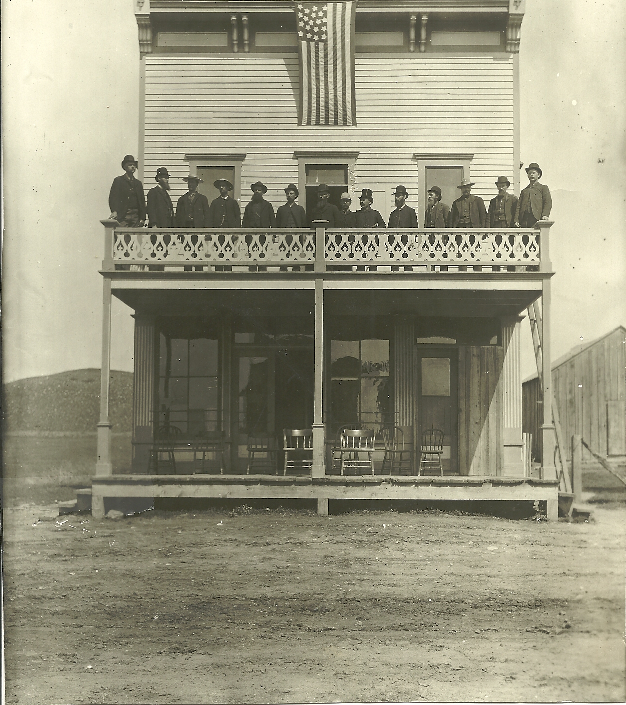
Lacy, South Dakota
Lacy is an extinct town in Stanley County, in the U.S. state of South Dakota. The GNIS The Geographic Names Information System (GNIS) is a database of name and locative information about more than two million physical and cultural features throughout the United States and its territories, Antarctica, and the associated states of ... classifies it as a populated place. History A post office called Lacy was established in 1903, and remained in operation until 1942. The town has the name of a local pioneer settler. References Ghost towns in South Dakota Geography of Stanley County, South Dakota {{SouthDakota-geo-stub ... [...More Info...] [...Related Items...] OR: [Wikipedia] [Google] [Baidu] |
Stanley County, South Dakota
Stanley County is a county in the U.S. state of South Dakota. As of the 2020 census, the population was 2,980. Its county seat is Fort Pierre. The county was created in 1873, and was organized in 1890. It is named for David S. Stanley, a commander at Fort Sully from 1866 to 1874, which was located nearby. Stanley County is included in the Pierre, SD Micropolitan Statistical Area. Geography Stanley County's northwestern boundary is defined by the Cheyenne River which flows eastward, to discharge into the Missouri River at the most northerly point of Stanley County. From there, the county's northeast boundary is defined by the southeastward-flowing Missouri. The county terrain consists of semi-arid rolling hills, carved by drainages. The area is partially devoted to agriculture. The terrain slopes to the east; its highest point is in the SW county corner, at 2,198' (670m) ASL. The county has a total area of , of which is land and (4.8%) is water. The eastern portion of Sout ... [...More Info...] [...Related Items...] OR: [Wikipedia] [Google] [Baidu] |
South Dakota
South Dakota (; Sioux language, Sioux: , ) is a U.S. state in the West North Central states, North Central region of the United States. It is also part of the Great Plains. South Dakota is named after the Lakota people, Lakota and Dakota people, Dakota Sioux Native Americans in the United States, Native American tribes, who comprise a large portion of the population with nine Indian reservation, reservations currently in the state and have historically dominated the territory. South Dakota is the List of U.S. states and territories by area, seventeenth largest by area, but the List of U.S. states and territories by population, 5th least populous, and the List of U.S. states and territories by population density, 5th least densely populated of the List of U.S. states, 50 United States. As the southern part of the former Dakota Territory, South Dakota became a state on November 2, 1889, simultaneously with North Dakota. They are the 39th and 40th states admitted to the union; Pr ... [...More Info...] [...Related Items...] OR: [Wikipedia] [Google] [Baidu] |
GNIS
The Geographic Names Information System (GNIS) is a database of name and locative information about more than two million physical and cultural features throughout the United States and its territories, Antarctica, and the associated states of the Marshall Islands, Federated States of Micronesia, and Palau. It is a type of gazetteer. It was developed by the United States Geological Survey (USGS) in cooperation with the United States Board on Geographic Names (BGN) to promote the standardization of feature names. Data were collected in two phases. Although a third phase was considered, which would have handled name changes where local usages differed from maps, it was never begun. The database is part of a system that includes topographic map names and bibliographic references. The names of books and historic maps that confirm the feature or place name are cited. Variant names, alternatives to official federal names for a feature, are also recorded. Each feature receives a per ... [...More Info...] [...Related Items...] OR: [Wikipedia] [Google] [Baidu] |
Ghost Towns In South Dakota
This is an incomplete list of ghost towns in South Dakota, United States of America. Classification Ghost towns can include sites in various states of disrepair and abandonment. Some sites no longer have any trace of civilization and have reverted to pasture land or empty fields. Other sites are unpopulated but still have standing buildings. Barren site * Sites no longer in existence or have been destroyed * Deserted or barren * Covered with water * Reverted to pasture * May have a few difficult-to-find foundations/footings at most Neglected site * Only rubble left * Buildings or houses still standing, but majority are roofless Abandoned site * Building or houses still standing but all abandoned * No population, except possibly a caretaker * Site no longer in existence except for one or two buildings Ghost towns A through B C through D E through H I through L M through O P through R S through T V through Z Notes References * * * * * {{DEFAUL ... [...More Info...] [...Related Items...] OR: [Wikipedia] [Google] [Baidu] |

