|
Lyons (community), Wisconsin
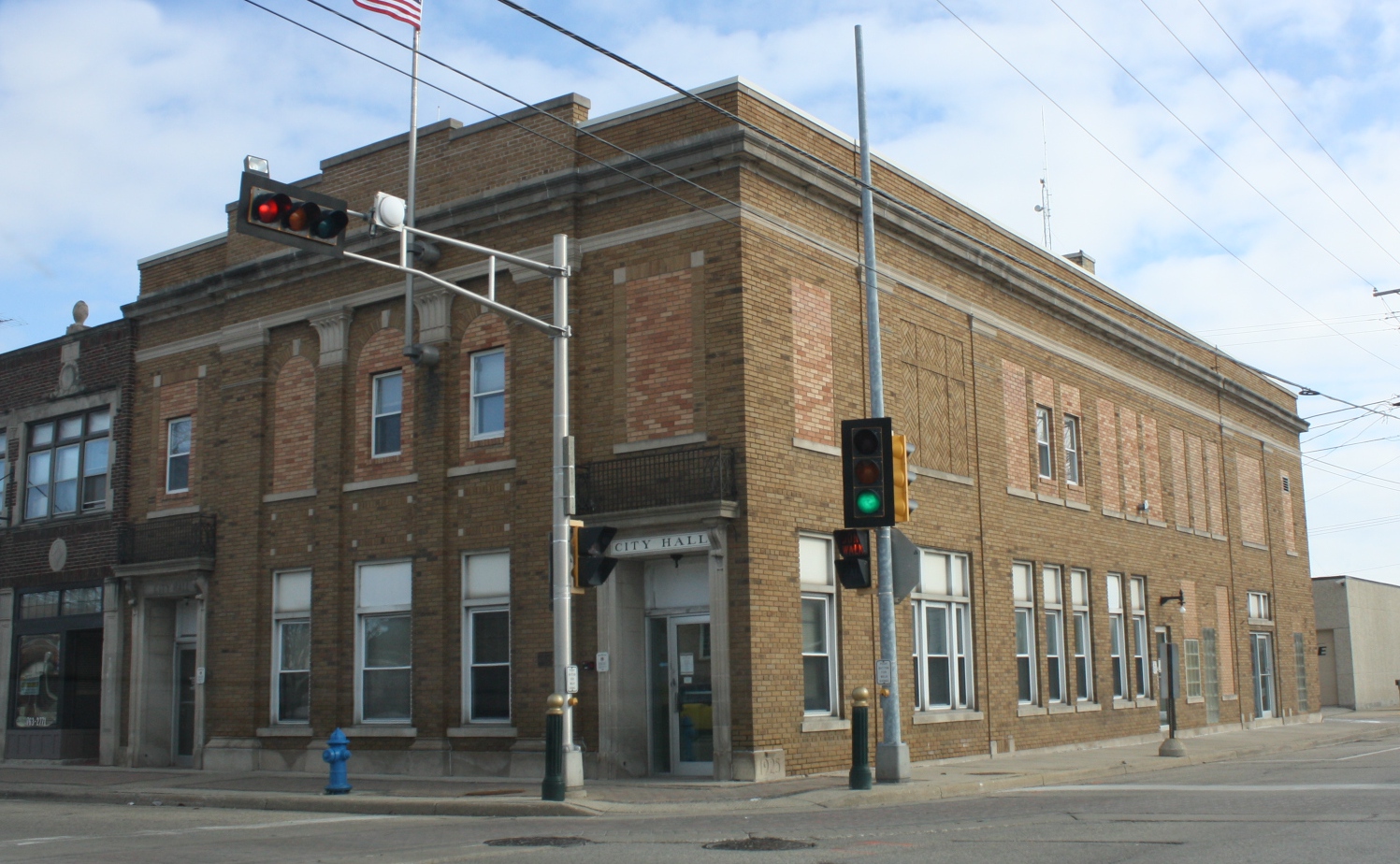
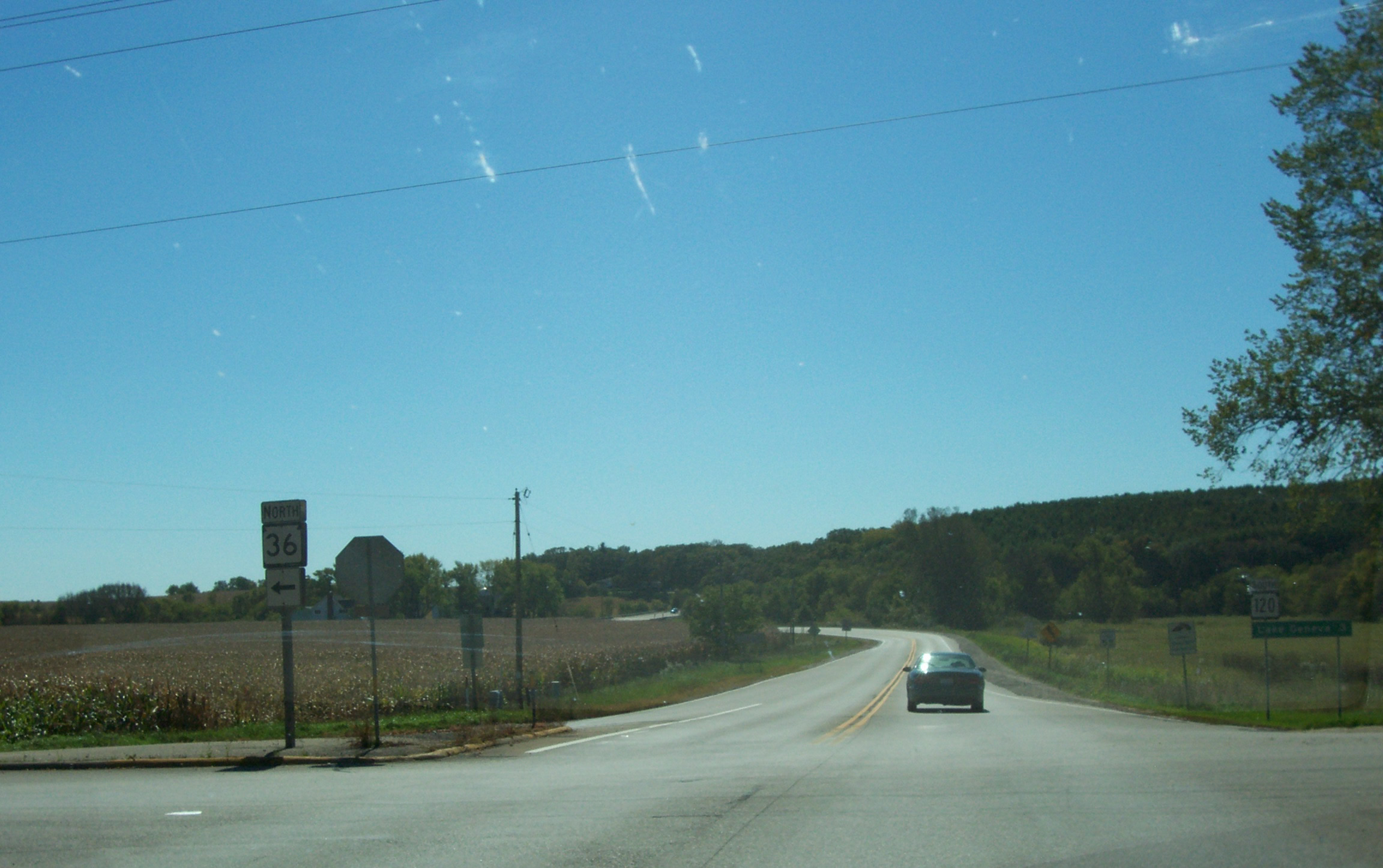
Lyons is an Unincorporated area, unincorporated community and census-designated place located in the town of Lyons, Wisconsin, Lyons, in Walworth County, Wisconsin, Walworth County, Wisconsin, United States. Lyons is located on Wisconsin Highway 36 west-southwest of Burlington, Wisconsin, Burlington. Lyons has a post office with ZIP code 53148. It was first named a CDP at the 2020 census, which showed a population of 932. Demographics References Census-designated places in Walworth County, Wisconsin Census-designated places in Wisconsin {{WalworthCountyWI-geo-stub ... [...More Info...] [...Related Items...] OR: [Wikipedia] [Google] [Baidu] |
Unincorporated Area
An unincorporated area is a region that is not governed by a local municipal corporation. Widespread unincorporated communities and areas are a distinguishing feature of the United States and Canada. Most other countries of the world either have no unincorporated areas at all or these are very rare: typically remote, outlying, sparsely populated or List of uninhabited regions, uninhabited areas. By country Argentina In Argentina, the provinces of Chubut Province, Chubut, Córdoba Province (Argentina), Córdoba, Entre Ríos Province, Entre Ríos, Formosa Province, Formosa, Neuquén Province, Neuquén, Río Negro Province, Río Negro, San Luis Province, San Luis, Santa Cruz Province, Argentina, Santa Cruz, Santiago del Estero Province, Santiago del Estero, Tierra del Fuego Province, Argentina, Tierra del Fuego, and Tucumán Province, Tucumán have areas that are outside any municipality or commune. Australia Unlike many other countries, Australia has only local government in Aus ... [...More Info...] [...Related Items...] OR: [Wikipedia] [Google] [Baidu] |
Geographic Names Information System
The Geographic Names Information System (GNIS) is a database of name and locative information about more than two million physical and cultural features throughout the United States and its territories, Antarctica, and the associated states of the Marshall Islands, Federated States of Micronesia, and Palau. It is a type of gazetteer. It was developed by the United States Geological Survey (USGS) in cooperation with the United States Board on Geographic Names (BGN) to promote the standardization of feature names. Data were collected in two phases. Although a third phase was considered, which would have handled name changes where local usages differed from maps, it was never begun. The database is part of a system that includes topographic map names and bibliographic references. The names of books and historic maps that confirm the feature or place name are cited. Variant names, alternatives to official federal names for a feature, are also recorded. Each feature receives a per ... [...More Info...] [...Related Items...] OR: [Wikipedia] [Google] [Baidu] |
United States Census Bureau
The United States Census Bureau (USCB), officially the Bureau of the Census, is a principal agency of the U.S. Federal Statistical System, responsible for producing data about the American people and economy. The Census Bureau is part of the U.S. Department of Commerce and its director is appointed by the President of the United States. The Census Bureau's primary mission is conducting the U.S. census every ten years, which allocates the seats of the U.S. House of Representatives to the states based on their population. The bureau's various censuses and surveys help allocate over $675 billion in federal funds every year and it assists states, local communities, and businesses make informed decisions. The information provided by the census informs decisions on where to build and maintain schools, hospitals, transportation infrastructure, and police and fire departments. In addition to the decennial census, the Census Bureau continually conducts over 130 surveys and programs ... [...More Info...] [...Related Items...] OR: [Wikipedia] [Google] [Baidu] |
Post Office
A post office is a public facility and a retailer that provides mail services, such as accepting letters and parcels, providing post office boxes, and selling postage stamps, packaging, and stationery. Post offices may offer additional services, which vary by country. These include providing and accepting government forms (such as passport applications), and processing government services and fees (such as road tax, postal savings, or bank fees). The chief administrator of a post office is called a postmaster. Before the advent of postal codes and the post office, postal systems would route items to a specific post office for receipt or delivery. During the 19th century in the United States, this often led to smaller communities being renamed after their post offices, particularly after the Post Office Department began to require that post office names not be duplicated within a state. Name The term "post-office" has been in use since the 1650s, shortly after the legali ... [...More Info...] [...Related Items...] OR: [Wikipedia] [Google] [Baidu] |
Burlington, Wisconsin
Burlington is a city in Racine and Walworth counties in the U.S. state of Wisconsin, with the majority of the city located in Racine County. The population of the city was 11,047 as of the 2020 census. History Prior to the arrival of Europeans in the area, Native American mounds were constructed near the present location of Burlington. For example, around 1830, a small Potawatomi village stood in what is now the Town of Burlington, though it wasn't larger than the present-day city. The earliest certain European presence in what is now Burlington was in the fall of 1799, when a group of French explorers and missionaries led by Francis Morgan de Vereceones made a portage from the Root River to the Fox River, reaching the Fox at approximately Burlington's present location. The first European settlers in Burlington were Moses Smith (the son of a Revolutionary War veteran) and William Whiting. Smith and Whiting had been in the area previously, making a so-called "jackknife c ... [...More Info...] [...Related Items...] OR: [Wikipedia] [Google] [Baidu] |
Wisconsin Highway 36
State Trunk Highway 36 (often called Highway 36, STH-36 or WIS 36) is a state highway in the U.S. state of Wisconsin. It runs in a diagonal southwest–northeast direction across southeastern Wisconsin from Springfield which is north of Lake Geneva to Milwaukee. Route description WIS 36 begins at its intersection with WIS 120 and travels in a general northeasterly direction to an intersection with WIS 11 in Burlington. The road continues northeast, passing through Waterford where it connects with WIS 164, then to Wind Lake and Muskego before heading to Franklin, where it runs concurrently with US Highway 45 (US 45) for a short distance, and crosses WIS 100. The highway then follows Loomis Road through Greendale and Greenfield, where it intersects with Interstate 43 (I-43) and I-894 before terminating at WIS 241 in Milwaukee. History WIS 36 is unusual in that its route has seen few changes since it was designated in ... [...More Info...] [...Related Items...] OR: [Wikipedia] [Google] [Baidu] |
Wisconsin
Wisconsin () is a state in the upper Midwestern United States. Wisconsin is the 25th-largest state by total area and the 20th-most populous. It is bordered by Minnesota to the west, Iowa to the southwest, Illinois to the south, Lake Michigan to the east, Michigan to the northeast, and Lake Superior to the north. The bulk of Wisconsin's population live in areas situated along the shores of Lake Michigan. The largest city, Milwaukee, anchors its largest metropolitan area, followed by Green Bay and Kenosha, the third- and fourth-most-populated Wisconsin cities respectively. The state capital, Madison, is currently the second-most-populated and fastest-growing city in the state. Wisconsin is divided into 72 counties and as of the 2020 census had a population of nearly 5.9 million. Wisconsin's geography is diverse, having been greatly impacted by glaciers during the Ice Age with the exception of the Driftless Area. The Northern Highland and Western Upland along wi ... [...More Info...] [...Related Items...] OR: [Wikipedia] [Google] [Baidu] |
Lyons, Wisconsin
Lyons is a town in Walworth County, Wisconsin, United States. The population was 3,648 at the 2020 census. The unincorporated communities of Lyons and Springfield are located within the town. History It was originally created as Hudson by the legislature of the Wisconsin Territory on January 23, 1844. Geography According to the United States Census Bureau, the town has a total area of 34.7 square miles (89.9 km), of which 34.5 square miles (89.3 km) is land and 0.2 square miles (0.6 km) is water. Demographics As of the census of 2000, there were 3,440 people, 1,231 households, and 940 families residing in the town. The population density was 99.8 people per square mile (38.5/km). There were 1,307 housing units at an average density of 37.9 per square mile (14.6/km). The racial makeup of the town was 97.62% White, 0.32% African American, 0.23% Native American, 0.35% Asian, 0.03% Pacific Islander, 0.44% from other races, and 1.02% from two or ... [...More Info...] [...Related Items...] OR: [Wikipedia] [Google] [Baidu] |
Area Code 262
North American telephone area code 262 covers much of Southeastern Wisconsin, and was created on September 25, 1999, when it was split from area code 414. It covers most of the suburbs of Milwaukee, but not Milwaukee County itself. The eastern portion of Wisconsin had been served by 414 for half a century until Green Bay and the Fox River Valley split off as area code 920 in 1997. Although this was intended as a long-term solution, within a year 414 was back to the brink of exhaustion due to the continued proliferation of cell phones and pagers. When it became apparent that 414 was running out of numbers, original plans called for 262 to be an overlay for all of southeastern Wisconsin. However, overlays were a new concept at the time, and met with some resistance to the mixing of area codes in the same area and the ensuing requirement for ten-digit dialing. As a result, 262 was made a separate area code for nearly all of the old 414 territory outside Milwaukee County. A few sliv ... [...More Info...] [...Related Items...] OR: [Wikipedia] [Google] [Baidu] |
Census-designated Place
A census-designated place (CDP) is a concentration of population defined by the United States Census Bureau for statistical purposes only. CDPs have been used in each decennial census since 1980 as the counterparts of incorporated places, such as self-governing cities, towns, and villages, for the purposes of gathering and correlating statistical data. CDPs are populated areas that generally include one officially designated but currently unincorporated community, for which the CDP is named, plus surrounding inhabited countryside of varying dimensions and, occasionally, other, smaller unincorporated communities as well. CDPs include small rural communities, edge cities, colonias located along the Mexico–United States border, and unincorporated resort and retirement communities and their environs. The boundaries of any CDP may change from decade to decade, and the Census Bureau may de-establish a CDP after a period of study, then re-establish it some decades later. Most unin ... [...More Info...] [...Related Items...] OR: [Wikipedia] [Google] [Baidu] |
United States Postal Service
The United States Postal Service (USPS), also known as the Post Office, U.S. Mail, or Postal Service, is an independent agency of the executive branch of the United States federal government responsible for providing postal service in the U.S., including its insular areas and associated states. It is one of the few government agencies explicitly authorized by the U.S. Constitution. The USPS, as of 2021, has 516,636 career employees and 136,531 non-career employees. The USPS traces its roots to 1775 during the Second Continental Congress, when Benjamin Franklin was appointed the first postmaster general; he also served a similar position for the colonies of the Kingdom of Great Britain. The Post Office Department was created in 1792 with the passage of the Postal Service Act. It was elevated to a cabinet-level department in 1872, and was transformed by the Postal Reorganization Act of 1970 into the U.S. Postal Service as an independent agency. Since the early 1980s, m ... [...More Info...] [...Related Items...] OR: [Wikipedia] [Google] [Baidu] |


