|
List Of Schools In Gloucestershire
This is a list of schools in Gloucestershire, England. State-funded schools Primary schools *Abbeymead Primary School, Abbeymead *Amberley Parochial School, Amberley *Ampney Crucis CE Primary School, Ampney Crucis *Andoversford Primary School, Andoversford *Ann Cam CE Primary School, Dymock *Ann Edwards CE Primary School, South Cerney *Ashchurch Primary School, Ashchurch *Ashleworth CE Primary School, Ashleworth *Avening Primary School, Avening *Aylburton CE Primary School, Aylburton *Barnwood CE Primary School, Barnwood *Beech Green Primary School, Quedgeley *Benhall Infant School, Benhall *Berkeley Primary School, Berkeley *Berry Hill Primary School, Berry Hill *Bibury CE Primary School, Bibury *Birdlip Primary School, Birdlip *Bishop's Cleeve Primary Academy, Bishop's Cleeve *Bisley Blue Coat CE Primary School, Bisley *Blakeney Primary School, Blakeney *Bledington Primary School, Bledington *Blockley CE Primary School, Blockley *Blue Coat CE Primary Scho ... [...More Info...] [...Related Items...] OR: [Wikipedia] [Google] [Baidu] |
South Gloucestershire
South Gloucestershire is a unitary authority area in the ceremonial county of Gloucestershire, South West England. Towns in the area include Yate, Chipping Sodbury, Thornbury, Filton, Patchway and Bradley Stoke, the latter three forming part of the northern Bristol suburbs. The unitary authority also covers many outlying villages and hamlets. The southern part of its area falls within the Greater Bristol urban area surrounding the city of Bristol. South Gloucestershire was created in 1996 to replace the Northavon district of the abolished county of Avon. It is separate from Gloucestershire County Council, but is part of the ceremonial county and shares Gloucestershire's Lord Lieutenant (the Sovereign's representative to the county). Because of its history as part of the county of Avon, South Gloucestershire works closely with the other unitary authorities that took over when that county was abolished, including shared services such as Avon Fire and Rescue Service and Avo ... [...More Info...] [...Related Items...] OR: [Wikipedia] [Google] [Baidu] |
Berry Hill, Gloucestershire
Berry Hill is a village in Gloucestershire, England, 1.5 miles north of the town of Coleford. Berry Hill includes the settlements of Five Acres to the east, Christchurch in the centre, Shortstanding to the north, and Joyford to the north-east. Berry Hill is within the civil parish of West Dean. History There has been scattered building on Berry Hill since the 16th century.Coleford A History of the County of Gloucester: Volume 5 (1996), pp. 117-138. Accessed: 17 April 2013 The settlement is situated on the edge of the , and in 1836 the extraparochial part was called Upper Berry Hill to dist ... [...More Info...] [...Related Items...] OR: [Wikipedia] [Google] [Baidu] |
Bromesberrow
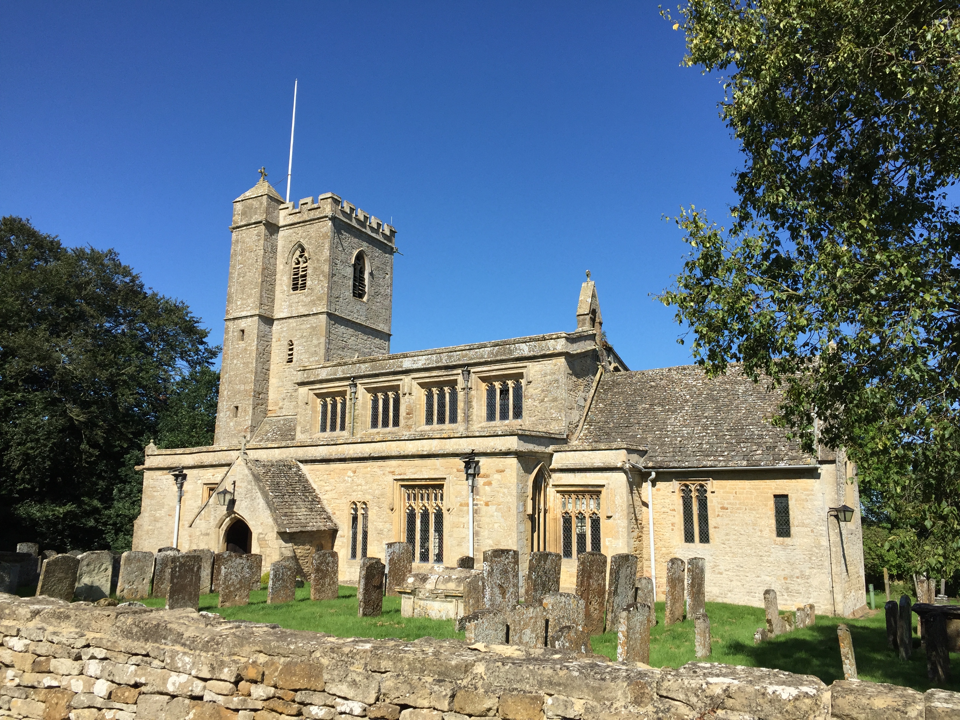
Bromsberrow (or Bromesberrow) is part of the Forest of Dean district. The village is close to the meeting point between Gloucestershire, Herefordshire, and Worcestershire. The nearest town is Ledbury, about four miles north in Herefordshire. A resident of the village named Emily Bishop (c1879-1961) was recorded extensively singing traditional folk songs by the folklorist Peter Kennedy in 1952. The village was briefly home to Richard Hammond, the former Top Gear presenter, who resided on a farm next to St. Mary's Church. Identify as Bremesbyrig Anglo-Saxon Chronicle states that in 910 Aethelflaed constructed a stronghold at "Bremesbyrig"; the location is suspected either being Bromsberry or Bromsgrove Bromsgrove is a town in Worcestershire, England, about northeast of Worcester and southwest of Birmingham city centre. It had a population of 29,237 in 2001 (39,644 in the wider Bromsgrove/Catshill urban area). Bromsgrove is the main town in the .... Gallery File:Bromesberr ... [...More Info...] [...Related Items...] OR: [Wikipedia] [Google] [Baidu] |
Brockworth
Brockworth is a village and parish in the Borough of Tewkesbury, Gloucestershire, England, situated on the old Roman road that connects the City of Gloucester with Barnwood. It is located 4 miles (6.5 km) southeast of central Gloucester, 6 miles (9.5 km) southwest of Cheltenham and 11.5 miles (18.5 km) north of Stroud. The population taken at the 2011 census was 7,387. The population increased to 9,422 at the 2021 Census. Since the mid-20th century, Brockworth has been known locally for the annual rolling of Double Gloucester cheese down Cooper's Hill. During World War II the nearby village of Hucclecote at the Gloster Aircraft Company produced the famous Hawker Hurricane fighter, and following the war it gained renewed fame for producing several notable aircraft, including Britain's first jet aircraft, which was test flown here. Brockworth is also the birthplace of actor, comedian and writer Simon Pegg. Governance An electoral ward of the same name exis ... [...More Info...] [...Related Items...] OR: [Wikipedia] [Google] [Baidu] |
Bream, Gloucestershire
Bream (historically known as Breem) is a village in the Forest of Dean, west Gloucestershire, England. The population was around 3,170 in the 2011 census. Governance An electoral ward in the same name exists. Its area and total population are the same as quoted above. History Human activity at Bream dates back to the Iron Age, when iron ore was being mined in the local area. The first dwellings in Bream were recorded in 1452. In 1505, the St. James' church, Bream or St. James chapel as it was then known, was built. In 1712, the population of Bream was 300. In 1822, the church was reconstructed. The main employment in the village in the past was coal mining, farming, and forestry. Today with the mines closed, there is very little employment now in the village, although there are two garages and several shops. Bream is one of the largest villages in the Forest of Dean District with a population of just under 3,200 as of January 2011. It is just one of a number of settlements ... [...More Info...] [...Related Items...] OR: [Wikipedia] [Google] [Baidu] |
Bourton-on-the-Water
Bourton-on-the-Water is a village and civil parish in Gloucestershire, England, that lies on a wide flat vale within the Cotswolds Area of Outstanding Natural Beauty. The village had a population of 3,296 at the 2011 census. Much of the village centre is a designated Conservation Area. Description Bourton-on-the-Water's high street is flanked by long wide greens and the River Windrush that runs through them. The river is crossed by five low, arched stone bridges. They were built between 1654 and 1953, leading to the nickname of "Venice of the Cotswolds". The village often has more visitors than residents during the peak tourist season. Some 300,000 visitors arrive each year as compared to under 3,500 permanent residents. There are three churches, Our Lady and St Kenelm Roman Catholic Church, Bourton-on-the-Water Baptist Church and St Lawrence, Church of England. The latter is usually open to visitors during the week. It is a Grade II listed building. A part of it was built ... [...More Info...] [...Related Items...] OR: [Wikipedia] [Google] [Baidu] |
Wotton-under-Edge
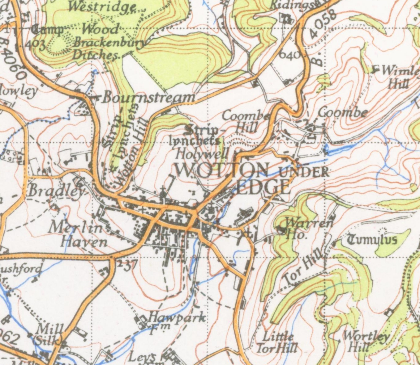
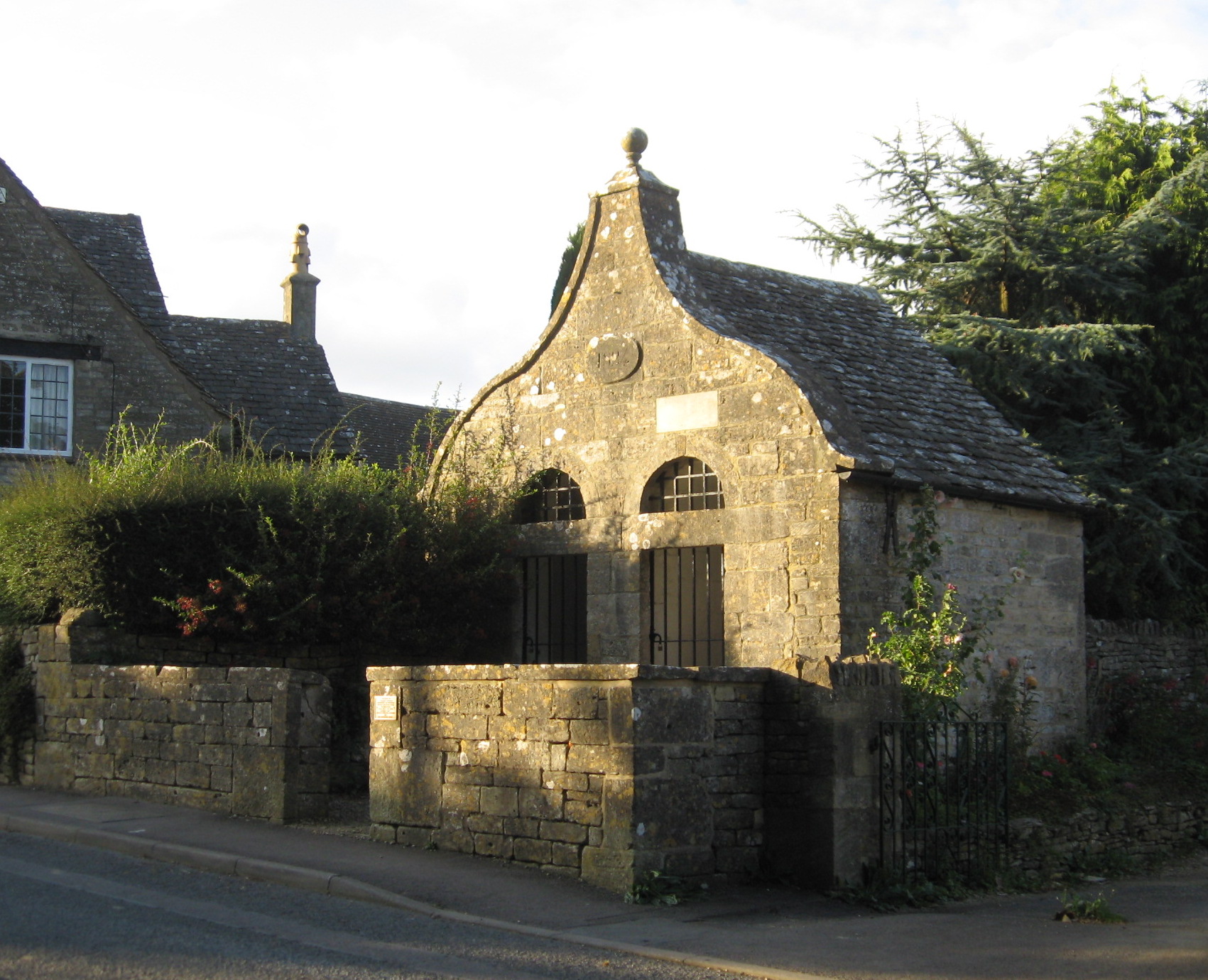
Wotton-under-Edge is a market town within the Stroud district of Gloucestershire, England. Located near the southern fringe of the Cotswolds, the Cotswold Way long-distance footpath passes through the town. Standing on the B4058, Wotton is about from the M5 motorway. The nearest railway station is Cam and Dursley, away by road, on the Bristol to Birmingham line. History The first record of the town is in an Anglo-Saxon Royal Charter of King Edmund I, who in AD 940 leased four hides of land in ''Wudetun'' to Eadric. The name ''Wudetun'' means the enclosure, homestead or village (''tun'') in or near the wood (''wude''). The "Edge" refers to the limestone escarpment of the Cotswold Edge which includes the hills of Wotton Hill and Tor Hill that flank the town. In the 1086 Domesday Book listing, Wotton was in the hundred of Dudstone. Kingswood Abbey was founded in 1139, but all that remains is a 16th-century Cistercian gatehouse. Nearby historical buildings include the ... [...More Info...] [...Related Items...] OR: [Wikipedia] [Google] [Baidu] |
Blockley
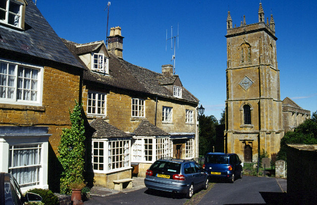
Blockley is a village, civil parish and ecclesiastical parish in the Cotswold district of Gloucestershire, England, about northwest of Moreton-in-Marsh. Until 1931 Blockley was an exclave of Worcestershire. The civil and ecclesiastical parish boundaries are roughly coterminous, and include the hamlets of Draycott, Paxford and Aston Magna, the residential development at Northwick and the deserted hamlets of Upton and Upper Ditchford. Blockley village is on Blockley Brook, a tributary of Knee Brook. Knee Brook forms the northeastern boundary of the parish and is a tributary of the River Stour. History Manor In AD 855 King Burgred of Mercia granted a monastery at Blockley to Ealhhun, Bishop of Worcester for the price of 300 solidi.''Victoria County History'', 1913, pages 265-276 In 1086 the Domesday Book recorded that the Bishop of Worcester held an estate of 38 hides at Blockley. The Bishops of Worcester retained the estate until 1648, during the English Civil War, when t ... [...More Info...] [...Related Items...] OR: [Wikipedia] [Google] [Baidu] |
Bledington
Bledington is a village and civil parish in the Cotswold district of Gloucestershire, England, about four miles southeast of Stow-on-the-Wold and six miles southwest of Chipping Norton. The population of the civil parish in 2014 was estimated to be 490. Bledington lies in the Evenlode valley, and forms part of the Gloucestershire–Oxfordshire boundary and stands on the Oxfordshire Way. There are deposits of alluvial soil, but most of the land is heavy clay, the parish being almost entirely on the Lower Lias. The village is built round a rectangle of streets, with the church in the south corner, and the green, with most of the older houses near it, on the northwest side. The southern part of the village has been developed extensively since 1920. The village green is a large unenclosed stretch of grass, with a stream running through it. The parish church dates from the 12th century and was extended in the 15th century. The village has a county primary school which dates from the ... [...More Info...] [...Related Items...] OR: [Wikipedia] [Google] [Baidu] |
Blakeney, Gloucestershire
Blakeney is a village in Gloucestershire, England. It in the parish of Awre and has views of the Forest of Dean. It was the site of a Roman villa, dating to 75 AD, and home to Thomas Sternhold, a groom of King Henry VIII's Robes. The local manor house is Hayes Manor, Viney Hill. Hawfield House on Newnham Road was built c. 1790. Governance The parish lies in the Awre electoral ward A ward is a local authority area, typically used for electoral purposes. In some countries, wards are usually named after neighbourhoods, thoroughfares, parishes, landmarks, geographical features and in some cases historical figures connected to t ..., which includes the village of Awre and Blakeney. The population at the 2011 census was 1,714. References External links photos of Blakeney and surrounding area on geograph [...More Info...] [...Related Items...] OR: [Wikipedia] [Google] [Baidu] |
Bisley, Gloucestershire
Bisley is a village and former civil parish, now in the parish of Bisley-with-Lypiatt, in the Stroud district, in Gloucestershire, England, about east of Stroud. The once-extensive manor included Stroud and Chalford, Thrupp, Oakridge, Bussage, Througham and Eastcombe. In 1891 the parish had a population of 5171. Governance An electoral ward in the name Bisley exists. The ward has the same area and population as the civil parish of "Bisley-with-Lypiatt". The parish was abolished in 1894 to form "Bisley with Lypiatt" and Chalford. History and architecture The area is noted for the wealth of its Cotswold stone houses of architectural and historic interest. They include Lypiatt Park, formerly the home of Judge H. B. D. Woodcock and then of the late Modernist sculptor Lynn Chadwick; Nether Lypiatt Manor, formerly the home of Violet Gordon-Woodhouse and Prince and Princess Michael of Kent; Daneway (near Sapperton, but within the parish of Bisley); Over Court; Througham Court ... [...More Info...] [...Related Items...] OR: [Wikipedia] [Google] [Baidu] |
.jpg)


