|
List Of Civil Parishes In Suffolk ...
This is a list of civil parishes in the ceremonial county of Suffolk, England. There are 479 civil parishes. Babergh The whole of the district is parished. Formerly Forest Heath ( West Suffolk) The whole of the district is parished. Other Districts Ipswich is unparished. Population figures are unavailable for some of the smallest parishes. See also * List of civil parishes in England References External links Office for National Statistics : Geographical Area Listings {{Suffolk Civil parishes Suffolk Civil parishes In England, a civil parish is a type of administrative parish used for local government. It is a territorial designation which is the lowest tier of local government below districts and counties, or their combined form, the unitary authority. ... [...More Info...] [...Related Items...] OR: [Wikipedia] [Google] [Baidu] |
Civil Parish
In England, a civil parish is a type of administrative parish used for local government. It is a territorial designation which is the lowest tier of local government below districts and counties, or their combined form, the unitary authority. Civil parishes can trace their origin to the ancient system of ecclesiastical parishes, which historically played a role in both secular and religious administration. Civil and religious parishes were formally differentiated in the 19th century and are now entirely separate. Civil parishes in their modern form came into being through the Local Government Act 1894, which established elected parish councils to take on the secular functions of the parish vestry. A civil parish can range in size from a sparsely populated rural area with fewer than a hundred inhabitants, to a large town with a population in the tens of thousands. This scope is similar to that of municipalities in Continental Europe, such as the communes of France. However, ... [...More Info...] [...Related Items...] OR: [Wikipedia] [Google] [Baidu] |
Belstead War Memorial - Geograph
Belstead is a village and civil parish in the Babergh district of the English county of Suffolk. Located on the southern edge of Ipswich, around south-west of Ipswich town centre. It had a population of 202 according to the 2011 census. Belstead has amenities such as a village hall, St Mary's the Virgin Church, The bridge school for children with learning difficulties and Belstead Brook Hotel and Spa. It is in the Belstead Brook electoral division of Suffolk County Council Suffolk County Council is the administrative authority for the county of Suffolk, England. It is run by 75 elected county councillors representing 63 divisions. It is a member of the East of England Local Government Association. History Establ .... History The Ipswich Hoard was found near Belstead in 1968. It is now in the British Museum, but there are copies of the torcs in the Ipswich Museum. [...More Info...] [...Related Items...] OR: [Wikipedia] [Google] [Baidu] |
Bures St , Essex, England
{{geodis ...
The following places are called Bures: *Bures, Orne, a commune of France in the department of Orne *Bures, Meurthe-et-Moselle, a commune of France in the department of Meurthe-et-Moselle *Bures-en-Bray, a commune of France in the department of Seine-Maritime *Bures-les-Monts, a commune of France in the department of Calvados *Bures-sur-Yvette, a commune of France in the department of Essonne *Bures, England, a village that straddles the county border between Suffolk and Essex ** Bures Hamlet, the portion of the village in Essex ** Bures St. Mary, the portion of the village in Suffolk *Bures, Saskatchewan, a hamlet in Saskatchewan, Canada See also * Bureš, a Czech surname * Mount Bures Mount Bures is a small village in England on the Essex and Suffolk borders. It takes its name from the mount or motte believed to have been built shortly after the invasion by William the Conqueror in 1066. The Gainsborough railway line that ... [...More Info...] [...Related Items...] OR: [Wikipedia] [Google] [Baidu] |
Brettenham, Suffolk
Brettenham is a village and civil parish in the Babergh district of Suffolk, England. In 2005 it had a population of 270,Estimates of Total Population of Areas in Suffolk Suffolk County Council increasing to 353 at the 2011 Census.  Almost the entire built-up area is defined as a conservation area, and the parish also contains some
|
Brent Eleigh
Brent Eleigh is a village and civil parish in the Babergh district of Suffolk, England. Located between Hadleigh and Lavenham, in 2005 it had a population of 180 reducing to 174 at the 2011 Census. According to Eilert Ekwall the possible meaning of the village name is Ilega's meadow, which was burnt before 1254. The village is mentioned in the Domesday Book of 1086, at which time it and neighbouring Monks Eleigh had a population of 61. The male population was 83, and female population was 91 according to the 2011 census. History In the 1870s, Brent Eleigh was described as:The church shows Norman features, has a later English tower, and is good; and there are charities £90. A market was formerly held in the parish.As well as the possible meaning of the village name, Brent Eleigh, derives from ''brende,'' meaning burnt in Middle English, and the Old English word ''lēah,'' meaning a forest. The village was not only a market town under the reign of Henry III, but also one ... [...More Info...] [...Related Items...] OR: [Wikipedia] [Google] [Baidu] |
Brantham
Brantham is a village and civil parish in the Babergh district of Suffolk, England. It is located close to the River Stour and the border with Essex, around north of Manningtree, and around southwest of Ipswich. History The name Brantham is of Old English origin - ''Brant'' for 'hill' and ''ham'' 'village' — hence, 'village on the hill'. Another possible translation may be 'burnt village', a name given after a Viking invasion coming up from the River Stour. Evidence of the village's Saxon heritage can be found in the form of some ninety silver coins from the time of Edward the Elder (899-924) in what has become known as the Brantham Hoard, found in the village in 2003. Brantham is mentioned in the 1086 Domesday book as having 38 households and under the lordship of Aelfric of Weinhou. Until 1887 the local economy was almost entirely agricultural. This changed in 1887 when British Xylonite Ltd. purchased the Brooklands Farm and built their factory, which was later renam ... [...More Info...] [...Related Items...] OR: [Wikipedia] [Google] [Baidu] |
Boxted, Suffolk
Boxted is a village and civil parish in the Babergh district of Suffolk, England. Located around north of Sudbury, in 2005 it had a population of 120. From the 2011 Census the population was included in the civil parish of Somerton. According to Eilert Ekwall, the meaning of the village name is place where box grow. The village is mentioned in the Domesday Book, at which time it had a population of 25. Fenstead End Fenstead End is a hamlet in the civil parish of Boxted, in the Babergh district, in the county of Suffolk, England. The settlement appears in the Domesday Book Domesday Book () – the Middle English spelling of "Doomsday Book" – is a manuscript record of the "Great Survey" of much of England and parts of Wales completed in 1086 by order of King William I, known as William the Conqueror. The manus ... as ''Finesteda'' when its inventory was: :Hundred — Babergh :Population — 4 households comprising 1 villager, 2 smallholders, 5 slaves. :Value ... [...More Info...] [...Related Items...] OR: [Wikipedia] [Google] [Baidu] |
Footpath To Boxted - Geograph
A footpath (also pedestrian way, walking trail, nature trail) is a type of thoroughfare that is intended for use only by pedestrians and not other forms of traffic such as motorized vehicles, bicycles and horses. They can be found in a wide variety of places, from the centre of cities, to farmland, to mountain ridges. Urban footpaths are usually paved, may have steps, and can be called alleys, lanes, steps, etc. National parks, nature preserves, conservation areas and other protected wilderness areas may have footpaths (trails) that are restricted to pedestrians. The term footpath can also describe a pavement/sidewalk in some English-speaking countries (such as Australia, New Zealand, and Ireland). A footpath can also take the form of a footbridge, linking two places across a river. Origins and history Public footpaths are rights of way originally created by people walking across the land to work, market, the next village, church, and school. This includes Mass paths and Cor ... [...More Info...] [...Related Items...] OR: [Wikipedia] [Google] [Baidu] |
Boxford, Suffolk
Boxford is a large village and civil parish in the Babergh district of Suffolk, England. Located around six miles east of Sudbury straddling the River Box and skirted by the Holbrook, in 2005 the parish had a population of 1,270. decreasing to 1,221 at the 2011 Census. History According to Eilert Ekwall the meaning of the village name is "the ford where box trees grow". During the Middle Ages, Boxford was a wool town. Historical writings In 1870–72, John Marius Wilson's Imperial Gazetteer of England and Wales described the village as: In 1887, John Bartholomew also wrote an entry on Boxford in the Gazetteer of the British Isles with a much shorter description: Governance An electoral ward in the same name exists. The population of this ward stretches north to Milden with a total population of 2,170. International connections As part of the American Bicentennial celebrations the townspeople of Boxford, Massachusetts, visited the villages of Boxford (there are three) in ... [...More Info...] [...Related Items...] OR: [Wikipedia] [Google] [Baidu] |
Swan Street, Boxford, Suffolk - Geograph
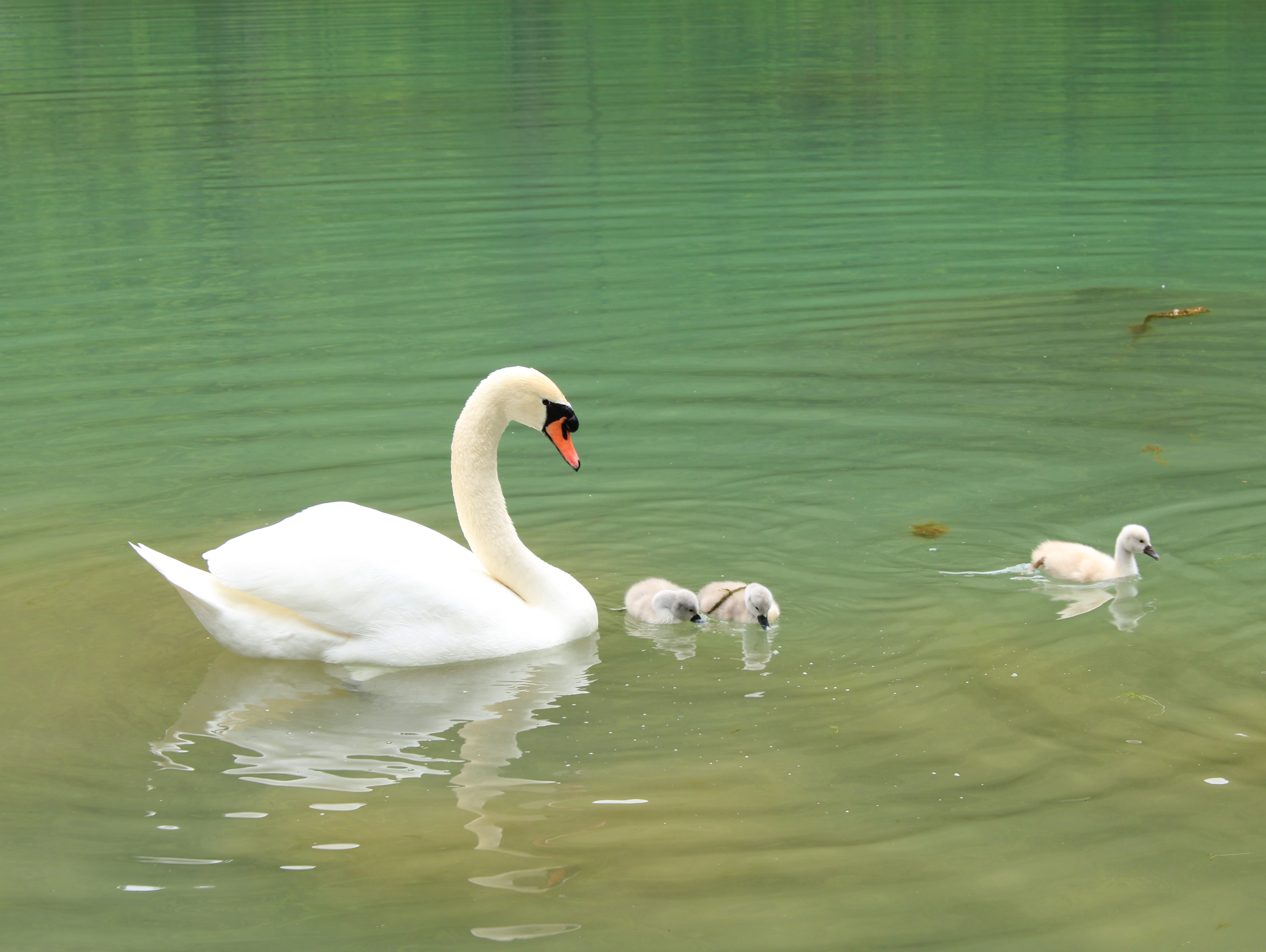
Swans are birds of the family Anatidae within the genus ''Cygnus''. The swans' closest relatives include the geese and ducks. Swans are grouped with the closely related geese in the subfamily Anserinae where they form the tribe Cygnini. Sometimes, they are considered a distinct subfamily, Cygninae. There are six living and many extinct species of swan; in addition, there is a species known as the coscoroba swan which is no longer considered one of the true swans. Swans usually mate for life, although "divorce" sometimes occurs, particularly following nesting failure, and if a mate dies, the remaining swan will take up with another. The number of eggs in each clutch ranges from three to eight. Etymology and terminology The English word ''swan'', akin to the German , Dutch and Swedish , is derived from Indo-European root ' ('to sound, to sing'). Young swans are known as '' cygnets'' or as '' swanlings''; the former derives via Old French or (diminutive suffix et 'lit ... [...More Info...] [...Related Items...] OR: [Wikipedia] [Google] [Baidu] |
Bildeston
Bildeston is a village and civil parish in the Babergh district of Suffolk, England. Located around north of Hadleigh, in 2005 it had a population of 960, increasing to 1,054 at the 2011 Census. History According to Eilert Ekwall the meaning of the village name is Bild's homestead. According to 'Bildeston Church and Village' by Sue Andrews, the village came into existence around 1,100 years ago. Although two Roman roads crossed here, little evidence has been found of any Roman settlement, only of Bildr, supposedly, seven centuries later, as an invading Danish leader, whose name the first settlement is thought to have adapted. The first real evidence of Bildeston is in the Domesday Book. The manor had been a royal estate of Queen Edith, consort of Edward the Confessor. By 1086 there were 20 households, composed of villeins, bordars and serfs, all dependent on Walter the Deacon, the absentee Lord of the Manor. Three plough teams belonged to the villagers, three to the lord and ... [...More Info...] [...Related Items...] OR: [Wikipedia] [Google] [Baidu] |


