|
List Of Airports In The Lower Mainland
The following active airports serve the Lower Mainland region of British Columbia, Canada, which is to say Greater Vancouver and the Fraser Valley: Land airports Scheduled commercial airline service Other Former Water aerodromes Scheduled commercial airline service Other Former Heliports Scheduled commercial airline service Other See also * List of airports in the Gulf Islands * List of airports in the Okanagan * List of airports in the Prince Rupert area * List of airports on Vancouver Island * List of airports in Greater Victoria References {{DEFAULTSORT:Airports in the Lower Mainland Transport in Greater Vancouver Vancouver Lists of buildings and structures in British Columbia Airports Vancouver Vancouver ( ) is a major city in western Canada, located in the Lower Mainland region of British Columbia. As the most populous city in the province, the 2021 Canadian census recorded 662,248 people in the city, up from 631,486 in 2016. ... ... [...More Info...] [...Related Items...] OR: [Wikipedia] [Google] [Baidu] |
Lower Mainland
The Lower Mainland is a geographic and cultural region of the mainland coast of British Columbia that generally comprises the regional districts of Metro Vancouver and Fraser Valley. Home to approximately 3.05million people as of the 2021 Canadian census, the Lower Mainland contains sixteen of the province's 30 most populous municipalities and approximately 60% of the province's total population. The region is the traditional territory of the Sto:lo, a Halkomelem-speaking people of the Coast Salish linguistic and cultural grouping. Boundaries Although the term ''Lower Mainland'' has been recorded from the earliest period of colonization in British Columbia, it has never been officially defined in legal terms. The term has historically been in popular usage for over a century to describe a region that extends from Horseshoe Bay south to the Canada–United States border and east to Hope at the eastern end of the Fraser Valley. This definition makes the term ''Lower Mainland'' a ... [...More Info...] [...Related Items...] OR: [Wikipedia] [Google] [Baidu] |
Delta, British Columbia
Delta is a city in the Lower Mainland region of British Columbia, Canada, as part of Greater Vancouver. Located on the Fraser Lowland south of Fraser River's south arm, it is bordered by the city of Richmond on the Lulu Island to the north, New Westminster to the northeast, Surrey to the east, the Boundary Bay and the American pene-exclave Point Roberts to the south, and the Strait of Georgia to the west. Encompassing the nearby Annacis Island, Deas Island and Westham Island, Delta is mostly rural and officially composed of three distinct communities: North Delta, Ladner and Tsawwassen. History Prior to European settlement, Delta's flatlands and coastal shores were inhabited by the Tsawwassen First Nation of the Coast Salish. The land was first sighted by Europeans in 1791, when Spanish explorer Lieutenant Francisco de Eliza mistook the area for an island and named it "Isla de Cepeda". The first European settler in Delta was James Kennedy who pre-empted 135 acres in what ... [...More Info...] [...Related Items...] OR: [Wikipedia] [Google] [Baidu] |
Squamish, British Columbia
Squamish (; Squamish language, Sḵwx̱wú7mesh sníchim: Sḵwx̱wú7mesh, ; 2016 census population 19,512) is a community and a district municipality in the Provinces and territories of Canada, Canadian province of British Columbia, located at the north end of Howe Sound on the British Columbia Highway 99, Sea to Sky Highway. The population of the Squamish census agglomeration, which includes Indian reserve, First Nation reserves of the Squamish Nation although they are not governed by the municipality, is 19,893. Indigenous Squamish people have lived in the area for thousands of years. The town of Squamish had its beginning during the construction of the BC Rail, Pacific Great Eastern Railway in the 1910s. It was the first southern terminus of that railway (now a part of Canadian National Railway, CN). The town remains important in the operations of the line and also the port. Forestry has traditionally been the main industry in the area, and the town's largest employer was the p ... [...More Info...] [...Related Items...] OR: [Wikipedia] [Google] [Baidu] |
Squamish Airport
Squamish Airport is located north of Squamish, British Columbia, Canada. Squamish Airport is a general aviation airport with a runway located about from downtown Squamish. It is used for charter services, private aircraft, flying clubs, and other commercial activities. Given its close proximity to Greater Vancouver Greater Vancouver, also known as Metro Vancouver, is the metropolitan area with its major urban centre being the city of Vancouver, British Columbia, Canada. The term "Greater Vancouver" is roughly coterminous with the geographic area governed b ..., there is no regularly scheduled air service at the Squamish Airport. The airport was also used by the Canadian Forces as part of their preparation for the 2010 Vancouver Winter Olympics. References Registered aerodromes in British Columbia Sea-to-Sky Corridor {{BritishColumbia-airport-stub ... [...More Info...] [...Related Items...] OR: [Wikipedia] [Google] [Baidu] |
Pitt Meadows
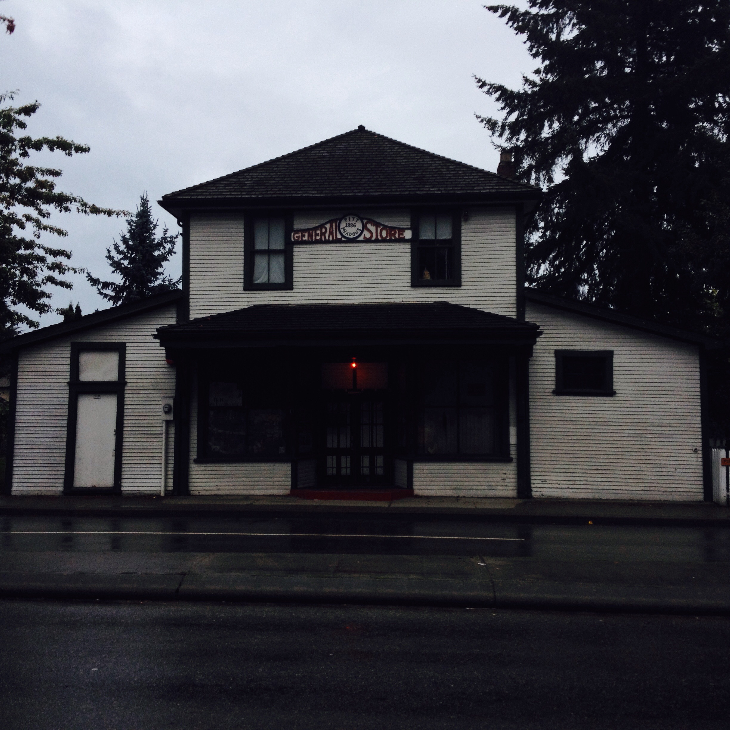
Pitt Meadows is a municipality of Metro Vancouver in southwestern British Columbia, Canada. Incorporated in 1914, it has a land area of and a population of 19,146 as of 2021. The municipality received its name from the Pitt River and Pitt Lake. Pitt Meadows is one of 21 municipalities plus Metro Vancouver Electoral Area A, Electoral Area A that comprises the Metro Vancouver Regional District. Indigenous Peoples have resided in Pitt Meadows for approximately 1000 years. James McMillan explored the area in 1874. The Municipality of Maple Ridge, which included the Pitt Meadows area, was incorporated in 1874. In 1892, residents of the Pitt Meadows area petitioned for their removal from the District of Maple Ridge. In 1893, the first dyking district was organized; however, the Fraser River Flood of 1894 flooded many acres of land in Pitt Meadows. In 1914, Pitt Meadows was a small, agricultural community of less than 250 individuals which supplied Vancouver and New Westminster with pr ... [...More Info...] [...Related Items...] OR: [Wikipedia] [Google] [Baidu] |
Pitt Meadows Airport
Pitt Meadows Regional Airport is a Canadian general aviation airport located in the southwest of corner of Pitt Meadows, British Columbia. In 2021, the airport had 112,872 aircraft movements making it the 4th busiest airport in the Lower Mainland. The first airport manager was Gordon McNeill 1966-1972. By 1972-1973, Pitt Meadows was the busiest airport in Canada with over 250,000 aircraft movements annually, but with the opening of Boundary Bay Airport in Delta, British Columbia in 1983, air traffic at Pitt Meadows Airport declined steadily. In January 1998, the districts of Maple Ridge and Pitt Meadows jointly took custody from the federal government under the auspices of the Pitt Meadows Airport Society. Nine flight training schools are located at the airport. The airport features three asphalt runways, three helipads, IFR approaches, and a separate float plane dock along the Fraser River. The Nav Canada air traffic control tower operates from 7:00 a.m. to 11:00 p ... [...More Info...] [...Related Items...] OR: [Wikipedia] [Google] [Baidu] |
Langley, British Columbia (district Municipality)
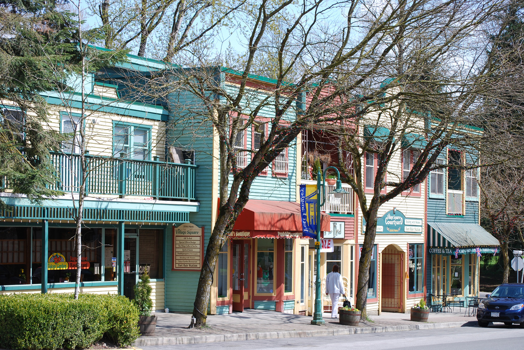
The Township of Langley is a district municipality immediately east of the City of Surrey in southwestern British Columbia, Canada. It extends south from the Fraser River to the Canada–United States border, and west of the City of Abbotsford. Langley Township is not to be confused with the City of Langley, which is adjacent to the township but politically is a separate entity. Langley is located in the eastern part of Metro Vancouver. History First Nations Throughout the last several millennia, the area that is now Langley Township was inhabited by various Stó:lo nations, including the Katzie and Kwantlen. There is limited recorded history from this time, as much was passed down through oral tradition rather than written documents. The Kwantlen were a major factor in the salmon trade that later operated out of the Fort Langley. Simon Fraser, while traveling through the Sto:lo territory in 1808 recorded the image of a Kwantlen village: Their houses are built of cedar p ... [...More Info...] [...Related Items...] OR: [Wikipedia] [Google] [Baidu] |
Langley Regional Airport
Langley Regional Airport is located in Langley Township, British Columbia, Canada. It serves mostly general aviation, and also provided scheduled passenger service to the Victoria Airport Water Aerodrome via Harbour Air Seaplanes before service was ended on May 20, 2011. Helicopter operations are a major part of Langley Airport's traffic; the airport has three helipads. The airport offers fuel services and extensive hangar space, and hosts the Canadian Museum of Flight. General information The airport has two asphalt runways, one long and the other . These relatively short runways make it a good airport for flight training purposes because a pilot who trains on short runways is likely to be more capable. There is also a public road near each end of the paved runway (01/19) resulting in relatively short "Takeoff Distance Available" (TODA). Due to the proximity of residential areas, runway 19 has a departure noise-abatement procedure that requires a 30-degree turn, and runway 2 ... [...More Info...] [...Related Items...] OR: [Wikipedia] [Google] [Baidu] |
Hope, British Columbia
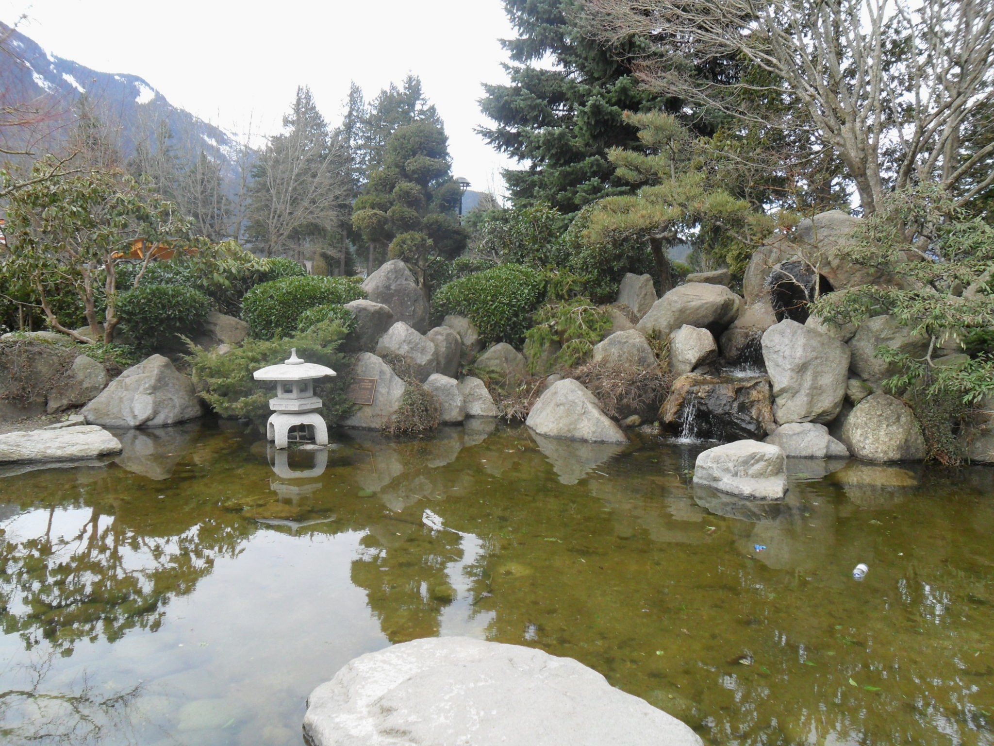
Hope is a district municipality at the confluence of the Fraser and Coquihalla rivers in the province of British Columbia, Canada. Hope is at the eastern end of both the Fraser Valley and the Lower Mainland region, and is at the southern end of the Fraser Canyon. To the east, over the Cascade Mountains, is the Interior region, beginning with the Similkameen Country on the farther side of the Allison Pass in Manning Park. Located east of Vancouver, Hope is at the southern terminus of the Coquihalla Highway and the western terminus of the Crowsnest Highway, locally known as the Hope-Princeton (Highways 5 and 3, respectively), where they merge with the Trans-Canada Highway ( Highway 1). Hope is at the eastern terminus of Highway 7. As it lies at the eastern end of the Fraser Valley in the windward Cascade foothills, the town gets very high amounts of rain and cloud cover – particularly throughout the autumn and winter. Hope is a member municipality of the Fraser Valley Reg ... [...More Info...] [...Related Items...] OR: [Wikipedia] [Google] [Baidu] |
Hope Aerodrome
Hope Aerodrome is located west of Hope Townsite (the previous Town of Hope) within the municipal District of Hope, British Columbia, Canada. This airfield is home to the Vancouver Soaring Association, a gliding club owning and operating seven school and recreational sailplanes and two Cessna L-19 Bird Dog as tow planes. There is one turf runway, . The airport is operated by the Fraser Valley Regional District. The Hope Airport lies within the community of Flood in the District of Hope. History In approximately 1942 the aerodrome was listed as RCAF & D of T Aerodrome - Hope, British Columbia at with a variation of 23 degrees 40' east and elevation of . The aerodrome was listed as "under construction - servicable" with one runway listed as follows: Hope is notable as being the location of a Boeing demonstration of the Boeing 737's landing and take off abilities in 1972. See also * List of airports in the Lower Mainland The following active airports serve the Lower Ma ... [...More Info...] [...Related Items...] OR: [Wikipedia] [Google] [Baidu] |
Fort Langley
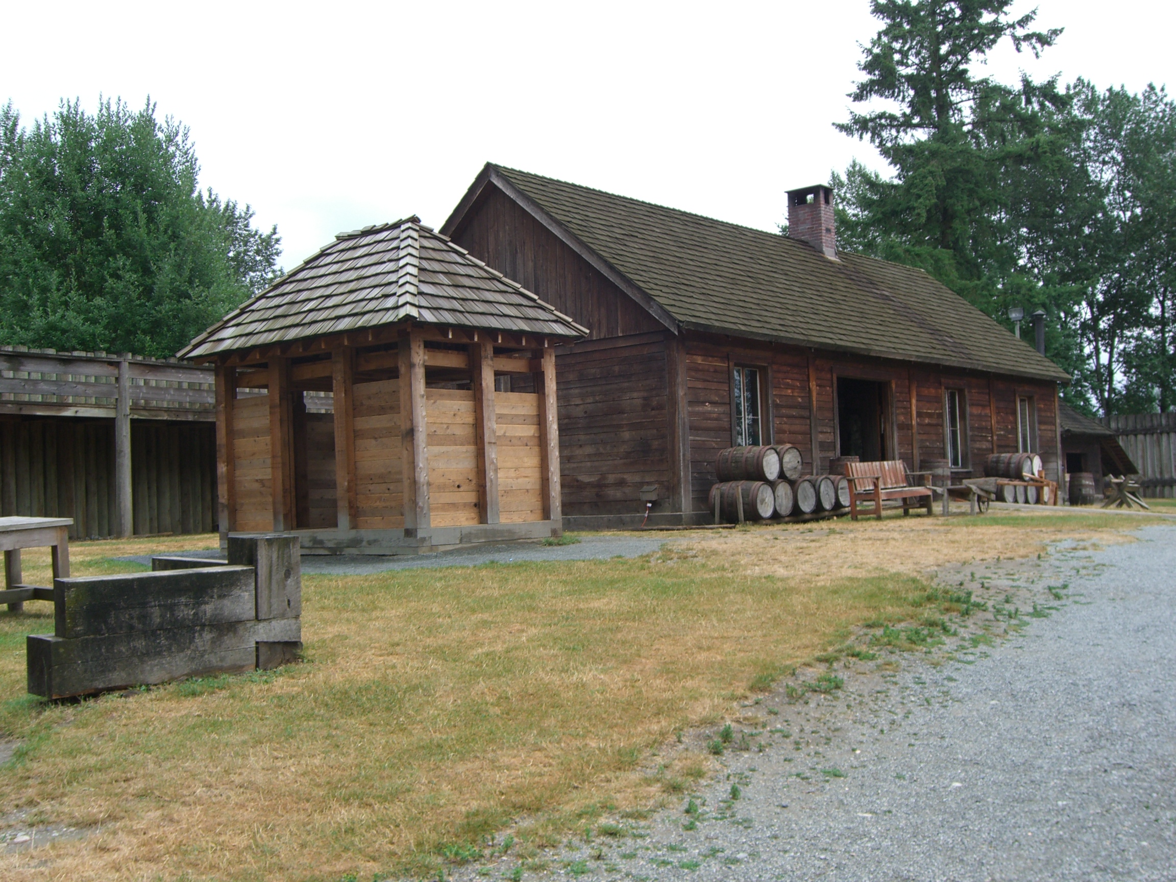
Fort Langley is a village community in Township of Langley, British Columbia, Canada. It has a population of approximately 3,400 people. It is the home of Fort Langley National Historic Site, a former fur trade post of the Hudson's Bay Company. Lying on the Fraser River, Fort Langley is at the northern edge of the Township of Langley. History Fort Langley was named after Thomas Langley, a director with HBC. and dates from a time when the boundary between British and American possession of the trans-mountain west, known as the Columbia District to the British and Oregon Country to Americans, had not yet been decided. Sir George Simpson, Governor of the Hudson's Bay Company, realized that Fort Vancouver opposite of present-day Portland, Oregon might be lost to the Americans if the border did not follow the Columbia River. Fearing the 49th parallel north could become the demarcation line, Simpson ordered the Hudson's Bay Company to construct the original Fort Langley in 1827 a ... [...More Info...] [...Related Items...] OR: [Wikipedia] [Google] [Baidu] |
Fort Langley Airport
Fort Langley Airport is located adjacent to Fort Langley, British Columbia, Canada Canada is a country in North America. Its ten provinces and three territories extend from the Atlantic Ocean to the Pacific Ocean and northward into the Arctic Ocean, covering over , making it the world's second-largest country by tot .... It is a private airport with a single paved runway. It is adjacent to the Fort Langley Water Aerodrome. See also * Fort Langley Water Aerodrome References Registered aerodromes in British Columbia Transport in Langley, British Columbia (district municipality) {{BritishColumbia-airport-stub ... [...More Info...] [...Related Items...] OR: [Wikipedia] [Google] [Baidu] |
.jpg)


