|
List Of Scheduled Prehistoric Monuments In South Pembrokeshire
Pembrokeshire is only the fifth-largest county in Wales, but contains the second largest number of scheduled monuments (526) after Powys. This gives it an extremely high density of monuments, with 33.4 per 100km2. (Only the tiny county boroughs of Newport and Merthyr Tydfil have a higher density). With three-quarters of its boundary being coastline, Pembrokeshire occupies the western end of the West Wales peninsular, terminating with the tiny cathedral city of St David's. It was a historic county in its own right but between 1975 and 1996 it joined Carmarthen and Ceredigion in the much larger county of Dyfed. Over two-thirds of Pembrokeshire's scheduled monuments (346) date to pre-historic times. Even this is too many entries to conveniently show in one list, so the list is subdivided into three, separating the Roman to modern on one list, and subdividing the prehistoric sites along the lines of the former local districts of Preseli Pembrokeshire, (the northern half) and South P ... [...More Info...] [...Related Items...] OR: [Wikipedia] [Google] [Baidu] |
Pembrokeshire
Pembrokeshire ( ; cy, Sir Benfro ) is a Local government in Wales#Principal areas, county in the South West Wales, south-west of Wales. It is bordered by Carmarthenshire to the east, Ceredigion to the northeast, and the rest by sea. The county is home to Pembrokeshire Coast National Park. The Park occupies more than a third of the area of the county and includes the Preseli Hills in the north as well as the Pembrokeshire Coast Path. Historically, mining and fishing were important activities, while industry nowadays is focused on agriculture (86 per cent of land use), oil and gas, and tourism; Pembrokeshire's beaches have won many awards. The county has a diverse geography with a wide range of geological features, habitats and wildlife. Its prehistory and modern history have been extensively studied, from tribal occupation, through Roman times, to Welsh, Irish, Norman, English, Scandinavian and Flemish influences. Pembrokeshire County Council's headquarters are in the county ... [...More Info...] [...Related Items...] OR: [Wikipedia] [Google] [Baidu] |
Iron Age
The Iron Age is the final epoch of the three-age division of the prehistory and protohistory of humanity. It was preceded by the Stone Age (Paleolithic, Mesolithic, Neolithic) and the Bronze Age (Chalcolithic). The concept has been mostly applied to Iron Age Europe and the Ancient Near East, but also, by analogy, to other parts of the Old World. The duration of the Iron Age varies depending on the region under consideration. It is defined by archaeological convention. The "Iron Age" begins locally when the production of iron or steel has advanced to the point where iron tools and weapons replace their bronze equivalents in common use. In the Ancient Near East, this transition took place in the wake of the Bronze Age collapse, in the 12th century BC. The technology soon spread throughout the Mediterranean Basin region and to South Asia (Iron Age in India) between the 12th and 11th century BC. Its further spread to Central Asia, Eastern Europe, and Central Europe is somewhat dela ... [...More Info...] [...Related Items...] OR: [Wikipedia] [Google] [Baidu] |
Foel Drygarn Camp
Foel Drygarn ("The hill of the three cairns") is an Iron Age hillfort, within which are three Bronze Age burial cairns. The site is about west of the village of Crymych in Pembrokeshire, Wales. It is a scheduled monument. Description The hill, the furthest east of the Preseli Hills, can be seen from miles around, and the fort was probably an important centre in its time. An inner defence on the summit encloses ; outside this are defences built at later stages on the north and east side. Each are single ramparts of dry stone and earth; there are traces of a ditch outside the inner rampart.Christopher Houlder. ''Wales: An Archaeological Guide''. Faber and Faber, 1978. Page 180. Within the inner defence are three stone cairns, regarded as Bronze Age burial mounds. In the fort there are at least 227 hut platforms. The remains represent a long period of occupation of the fort, and it is supposed that not all the dwellings were in use at the same time. Their builders evidently respecte ... [...More Info...] [...Related Items...] OR: [Wikipedia] [Google] [Baidu] |
Crymych
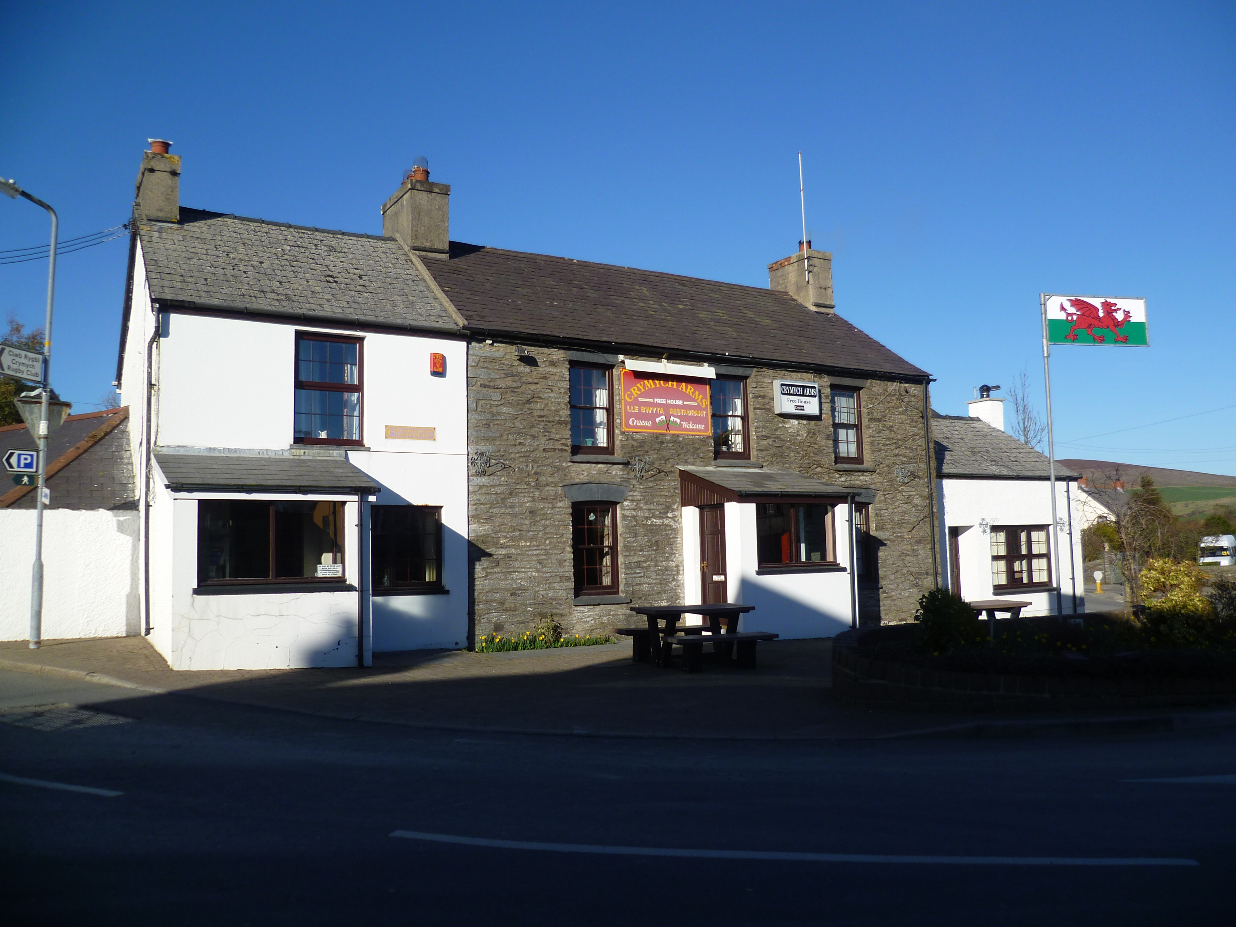
Crymych () is a village of around 800 inhabitants and a community (population 1,739) in the northeast of Pembrokeshire, Wales. It is situated approximately above sea level at the eastern end of the Preseli Mountains, on the old Tenby to Cardigan turnpike road, now the A478. The village developed around the former Crymmych Arms railway station on the now-closed Whitland to Cardigan Railway, nicknamed ''Cardi Bach'' (Little Cardi). Crymych, which is twinned with Plomelin in Brittany, has an elected community council. The village has given its name to an electoral ward of Pembrokeshire that encompasses the villages of Crymych itself and Eglwyswrw. The community includes Hermon, Glandwr, Glogue and Llanfyrnach. History The name Crymych translates into English as ''crooked stream'' referring to the River Taf which rises in the high ground above the village and takes a sharp turn in the valley at the north end of the village. Evidence of prehistoric occupation in the communi ... [...More Info...] [...Related Items...] OR: [Wikipedia] [Google] [Baidu] |
Platform Cairn
Platform may refer to: Technology * Computing platform, a framework on which applications may be run * Platform game, a genre of video games * Car platform, a set of components shared by several vehicle models * Weapons platform, a system or structure that carries weapons * Web platform * Platform economy (or Platform capitalism, Platformization), a structure of internet business Physical objects and features * Carbonate platform, a type of sedimentary body * Cargo platform, a pallet used to ship cargo and heavy machines by forklift or manual lift * Diving platform, used in diving * Jumping platform, naturally occurring platforms, or platforms made in an ''ad hoc'' way for cliff jumping * Oil platform, a structure built for oil production * Platform, a component of scaffolding * Platform (geology), the part of a continental craton that is covered by sedimentary rocks * Platform (shopping center) in Culver City, Greater Los Angeles, California * Theatre platform, a standard ... [...More Info...] [...Related Items...] OR: [Wikipedia] [Google] [Baidu] |
Cosheston
Cosheston is a village, parish and community in Pembrokeshire, Wales. It is situated on an inlet of the Daugleddau estuary, 3 km north-east of Pembroke. The parish includes the settlement of Bateman's Hill. The northern part of the community is in the Pembrokeshire Coast National Park. Together with Upton and Nash, it constitutes the community of Cosheston, which had a population of 713 in 2001, increasing to 828 at the 2011 Census. Name The placename means "Constantine's farm". Parish The parish had an area of 813 Ha. Its census A census is the procedure of systematically acquiring, recording and calculating information about the members of a given population. This term is used mostly in connection with national population and housing censuses; other common censuses in ... populations were: 401 (1801): 551 (1851): 556 (1901): 381 (1951): 593 (1981): 828 (2011). The parish church is dedicated to St Michael and had a spire in the 19th century. The percentage o ... [...More Info...] [...Related Items...] OR: [Wikipedia] [Google] [Baidu] |
Clydey
Clydau (sometimes Clydaï or Clydey) is a community and parish in Pembrokeshire, Wales. Name The meaning of the Welsh placename is uncertain, although the church is now dedicated to St. Clydaï, an alleged daughter of Brychan. History During the early Middle Ages, the settlement was the site of Llangeneu ('St Ceneus'), which was accounted one of the seven principal sees of Dyfed despite having no endowment of land. Cledau (as ''Cledye'') appears on a 1578 parish map of Pembrokeshire. Josiah Thomas Jones (1799-1873), republican and Welsh nationalist, was born at CwmHir Farm, Clydau. He went on to publish many books and established several newspapers in English and Welsh, including the Aberdare Times. Settlement The settlement consists of a small group of properties around the parish church, southwest of Newcastle Emlyn and southeast of Cardigan. Community Although the settlement of Clydau is tiny, the community is large, encompassing several other settlements and/or parishes ... [...More Info...] [...Related Items...] OR: [Wikipedia] [Google] [Baidu] |
Castlemartin, Pembrokeshire
Castlemartin ( cy, Castell Martin) is a village and parish in the community of Stackpole and Castlemartin, Pembrokeshire, Wales, in the Pembrokeshire Coast National Park. The village is on a sandstone ridge, southwest of Pembroke, southeast of Angle, and reached on the B4319 road. Geography In chronostratigraphy, the British sub-stage of the Carboniferous period, the 'Arundian' derives its name from Hobbyhorse Bay in the Castlemartin community''arundo'' being the Latin for hobby horse. Castlemartin has of coastline, much of it consisting of spectacular limestone cliffs characterised by large sea caves, natural arches and stacks. History The village of Castlemartin was in the ancient Hundred of the same name, once centred on a prominent Norman motte-and-bailey castle giving, with the church dedicated to St Martin, the origin of the name. Like other places in southern Pembrokeshire, Castlemartin has been mainly English-speaking for 900 years or more. A 1583 map in ... [...More Info...] [...Related Items...] OR: [Wikipedia] [Google] [Baidu] |
Carew, Pembrokeshire
Carew ( cy, Caeriw) is a village, parish and community on an inlet of Milford Haven in the former Hundred of Narberth, Pembrokeshire, West Wales, east of Pembroke. The eastern part of the parish is in the Pembrokeshire Coast National Park. Description The meaning of the name is unclear. In Welsh it could mean "fort on a hill" (Caer-rhiw), "fort by yews" (Caer-yw) or simply "forts" (Caerau). The village grew up to serve the nearby Norman castle. The parish includes several other villages and hamlets, including Carew Cheriton (around the parish church), Carew Newton, Milton, West Williamston, Sageston and Whitehill. Textile mills gave Milton its name. In the 19th century, there was a carding mill downstream, a weaving mill by the bridge, and a fulling mill upstream. West Williamston had an industrial history: limestone was quarried in the area for centuries; stone was cut from slot-shaped flooded quarries communicating with the haven, known locally as "docks". See examples at . ... [...More Info...] [...Related Items...] OR: [Wikipedia] [Google] [Baidu] |
Boncath
Boncath is a village, community and postal district in north Pembrokeshire, Wales, about west of Newcastle Emlyn. The village stands at a cross-roads linking the nearby settlements of Newchapel (''Capelnewydd''), Eglwyswrw, Blaenffos and Bwlchygroes. Formerly a hamlet around an inn, the village developed after the coming of the railway in 1885. History The name of the village comes from the Welsh word for buzzard, ''bwncath''. It was recorded on a pre-1850 historical parish map as in the parish of Llanfihangel Penbedw (St Michael) in the Hundred of Cilgerran. Llanfihangel Penbedw parish church, which dates from 1325 or earlier, was restored in 1859 but fell into disuse in the 1970s. Part of the village lies in Capel Colman parish. The Boncath Inn (formerly Tavern) has stood at the crossroads at least since 1862 when Thomas Rees, publican, farmer, and grocer, was listed as bankrupt in October 1862 and discharged in the December. Despite the coming of the railway, in 1890 Dav ... [...More Info...] [...Related Items...] OR: [Wikipedia] [Google] [Baidu] |
Round Barrow
A round barrow is a type of tumulus and is one of the most common types of archaeological monuments. Although concentrated in Europe, they are found in many parts of the world, probably because of their simple construction and universal purpose. In Britain, most of them were built between 2200BC and 1100BC. This was the Late Neolithic period to the Late Bronze Age. Later Iron Age barrows were mostly different, and sometimes square. Description At its simplest, a round barrow is a hemispherical mound of earth and/or stone raised over a burial placed in the middle. Beyond this there are numerous variations which may employ surrounding ditches, stone kerbs or flat berms between ditch and mound. Construction methods range from a single creation process of heaped material to a complex depositional sequence involving alternating layers of stone, soil and turf with timbers or wattle used to help hold the structure together. The center may be placed a stone chamber or cist or in a ... [...More Info...] [...Related Items...] OR: [Wikipedia] [Google] [Baidu] |


