|
Kyebando
Kyebando is a neighborhood within Kampala, the capital and largest city in Uganda. Location Kyebando is bordered by Kawempe to the northwest, Kikaaya to the northeast, Bukoto to the east, Mulago to the south, Bwaise to the southwest and Kaleerwe to the west. This location lies approximately , by road, northeast of Kampala's central business district. The coordinates of Kyebando are:0°21'22.0"N, 32°34'48.0"E (Latitude:0.356111; Longitude:32.580000). Overview Kyebando is located on a hill that raises to above sea-level. The base of the hill is a ring road, ''Kyebando Ring Road'' that makes a near-complete circle through the neighborhood. The hill and surrounding area is dotted with school, interspersed with low income residential houses. During the 2000s, numerous educational institutions have sprung up in the neighborhood. The rapid urbanization brings with it, strained public services and increased crime levels. Points of interest * Kampala Model Primary School - A mixed, no ... [...More Info...] [...Related Items...] OR: [Wikipedia] [Google] [Baidu] |
Kaleerwe
Kaleerwe is a neighborhood within Kampala, Uganda's capital and largest city. Kaleerwe is a busy road-side marketplace, beyond which is a residential slum. Due to its relative low altitude, compared to the surrounding hills, and its proximity to a wetland, the area is prone to flooding. Kaleerwe merges with its immediate slum-neighborhood to the southwest, Bwaise. One may argue that Kaleerwe is part of Bwaise. Location Kaleerwe is bordered by Kawempe to the north, Kyebando to the east, Makerere to the south, Bwaise to the southwest and Kazo to the west. It sandwiched between the Kampala-Masindi Highway to the west, the Kampala-Gayaza Highway to the east, the Kampala Northern Bypass Highway to the south. This location lies approximately , by road, north of Kampala's central business district. The coordinates of Kaleerwe are:0°21'07.0"N, 32°34'19.0"E (Latitude:0.351950; Longitude:32.571950). Points of interest * The Kampala Northern Bypass Highway, passes through the neighborho ... [...More Info...] [...Related Items...] OR: [Wikipedia] [Google] [Baidu] |
Kawempe Division
Kawempe Division (sub-county) is one of the five divisions that comprise the city of Kampala along with Makindye division, Lubaga division, Nakawa division and Central division, It has 19 parishes and 771 villages. The parishes include Bwaise I, Kanyanya, Kazo ward, Kyebando, Makerere iii, Mulago I, Bwaise ii, Kawempe I, Kikaya, Makerere I, Mpererwe, Mulago iii, Bwaise III, Kawempe ii, Komambogo, Makerere ii, Mulago i, Makerere University. The division's current mayor is His worship Dr. Emmanuel Serunjogi. Location Kawempe Division is located in the Northern part of Kampala, it's one of the five divisions that make up Kampala city bordering Wakiso District to the west, north and east, Nakawa Division to the southeast, Kampala Central Division to the south, and Lubaga Division to the southwest. The coordinates of the division are 00 23N, 32 33E (Latitude:0.3792; Longitude:32.5574). The neighborhoods in Kawempe Division include: Kawempe, Kanyanya, Kazo, Mpererwe, Kisaasi, ... [...More Info...] [...Related Items...] OR: [Wikipedia] [Google] [Baidu] |
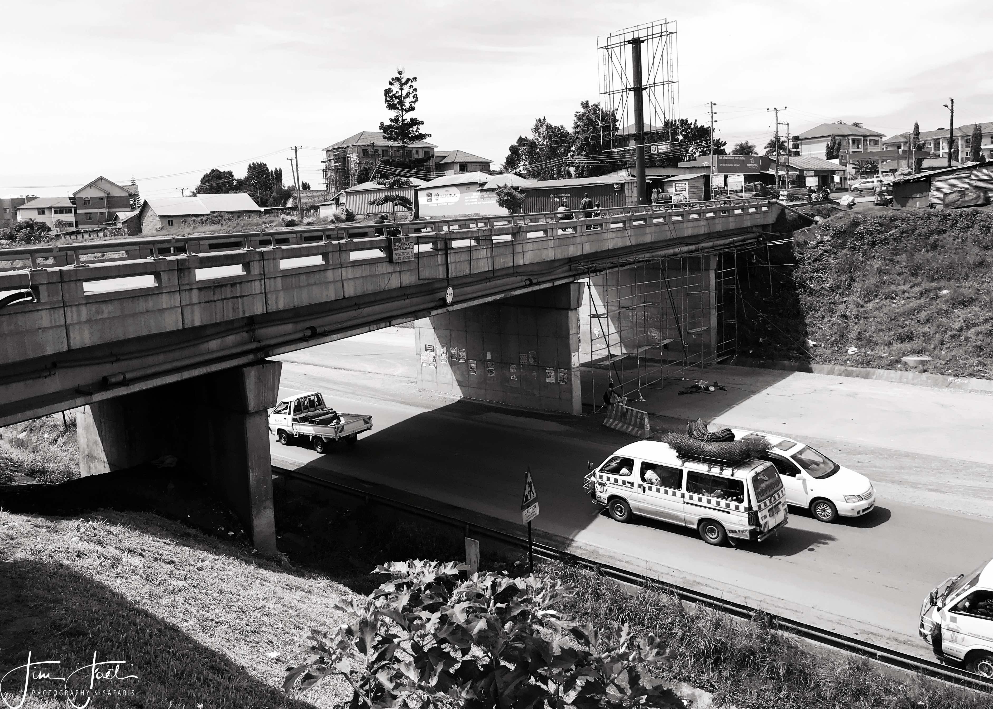
Kampala Northern Bypass Highway
The Kampala Northern Bypass Highway, often referred to as the Northern Bypass, is a road in Uganda. It forms a semicircle across the northern suburbs of Kampala, Uganda's capital and largest city. The road was constructed to relieve traffic congestion within the city center, allowing cross-country traffic to bypass the city's downtown area. Location The bypass stretches from Namboole, approximately to the east of downtown Kampala. The highway winds through the suburbs of Naalya, Kiwaatule, Kulambiro, Kigoowa, Bukoto, Mulago, Makerere, Bwaise, Kawaala, and Namungoona, to end at Busega, approximately west of the city. The highway measures approximately in length. The coordinates of the road at its northernmost point are . Overview The bypass opened to traffic on 1 October 2009. Constructed between 2004 and 2009, the bypass is about long. The project was funded by the European Union and the Uganda government. Expansion In August 2012, Ugandan print media reported that expan ... [...More Info...] [...Related Items...] OR: [Wikipedia] [Google] [Baidu] |
Kikaaya
Kikaaya is a neighborhood in the city of Kampala, Uganda's capital city. The correct phonetic spelling is with two 'a's, after the second 'k'. Location Kikaaya is located in Kawempe Division, in northern Kampala. It is bordered by Kisaasi to the north, Kulambiro to the northeast, Kigoowa to the east, Bukoto to the southeast, Kyebando to the southwest, Kanyanya to the west and Mpererwe to the northwest. This location lies approximately , by road, north of Kampala's central business district. The coordinates of Kikaaya are:0°21'54.0"N,32°35'24.0"E (Latitude:0.3650; Longitude:32.5900). Kikaaya is situated on a hill that raises to a height of , above sea level. Most of the hill is occupied by the expanse of the Baháʼí House of Worship, Bahá’í Temple in Uganda. The temple, one of the existing seven continental Houses of Worship of the Baháʼí Faith in the world, sits on which include the House of Worship, manicured gardens, a guest house, and an administrative center. Demog ... [...More Info...] [...Related Items...] OR: [Wikipedia] [Google] [Baidu] |
Bukoto
Bukoto is a township within the city of Kampala, Uganda's capital and largest metropolitan area. Location Bukoto is bordered by Kisaasi to the north, Kigoowa to the north-east, Ntinda to the east, Naguru, Uganda, Naguru to the south-east, Kololo to the south, Kamwookya to the west, and Kyebando to the north-west. This location is approximately , by road, north-east of Kampala's central business district. The coordinates of Bukoto are 0°21'14.0"N, 32°35'47.0"E (Latitude:0.353889; Longitude:32.596389). Points of interest The following points of interest lie inside or near Bukoto: 1. The main branch of Pride Microfinance Limited, a Banking in Uganda, Tier III Financial Institution, is located in Bukoto. 2. Watoto Church - An orphanage and place of worship affiliated with the Pentecostalism, Pentecostal Church 3. The Kampala Northern Bypass Highway - The highway passes through the northern reaches of Bukoto, in a west to east direction. 4. Women's Hospital International and Fe ... [...More Info...] [...Related Items...] OR: [Wikipedia] [Google] [Baidu] |
