|
Kotoden Kotohira Line
The is a Japanese railway line in Kagawa Prefecture, which connects Takamatsu-Chikkō Station in Takamatsu with Kotoden-Kotohira Station in Kotohira. It is owned and operated by the Takamatsu-Kotohira Electric Railroad. The line color is yellow. Station list All stations are located in Kagawa Prefecture is a prefecture of Japan located on the island of Shikoku. Kagawa Prefecture has a population of 949,358 (as of 2020) and is the smallest prefecture by geographic area at . Kagawa Prefecture borders Ehime Prefecture to the southwest and Tok .... ** indicates staffed station. History The line first opened on 21 December 1926 between Ritsurin-Kōen and Takinomiya. Since the beginning of the 21st century, two new stations have opened: on 29 July 2006 and on 15 December 2013. References {{reflist Rail transport in Kagawa Prefecture Kotohira Line Standard gauge railways in Japan ... [...More Info...] [...Related Items...] OR: [Wikipedia] [Google] [Baidu] |
Kagawa Prefecture
is a prefecture of Japan located on the island of Shikoku. Kagawa Prefecture has a population of 949,358 (as of 2020) and is the smallest prefecture by geographic area at . Kagawa Prefecture borders Ehime Prefecture to the southwest and Tokushima Prefecture to the south. Takamatsu is the capital and largest city of Kagawa Prefecture, with other major cities including Marugame, Mitoyo, and Kan'onji. Kagawa Prefecture is located on the Seto Inland Sea across from Okayama Prefecture on the island of Honshu, which is connected by the Great Seto Bridge. Kagawa Prefecture includes Shōdoshima, the second-largest island in the Seto Inland Sea, and the prefecture's southern land border with Tokushima Prefecture is formed by the Sanuki Mountains. History Kagawa was formerly known as Sanuki Province. For a brief period between August 1876 and December 1888, Kagawa was made a part of Ehime Prefecture. Battle of Yashima Located in Kagawa's capital city, Takamatsu, the mounta ... [...More Info...] [...Related Items...] OR: [Wikipedia] [Google] [Baidu] |
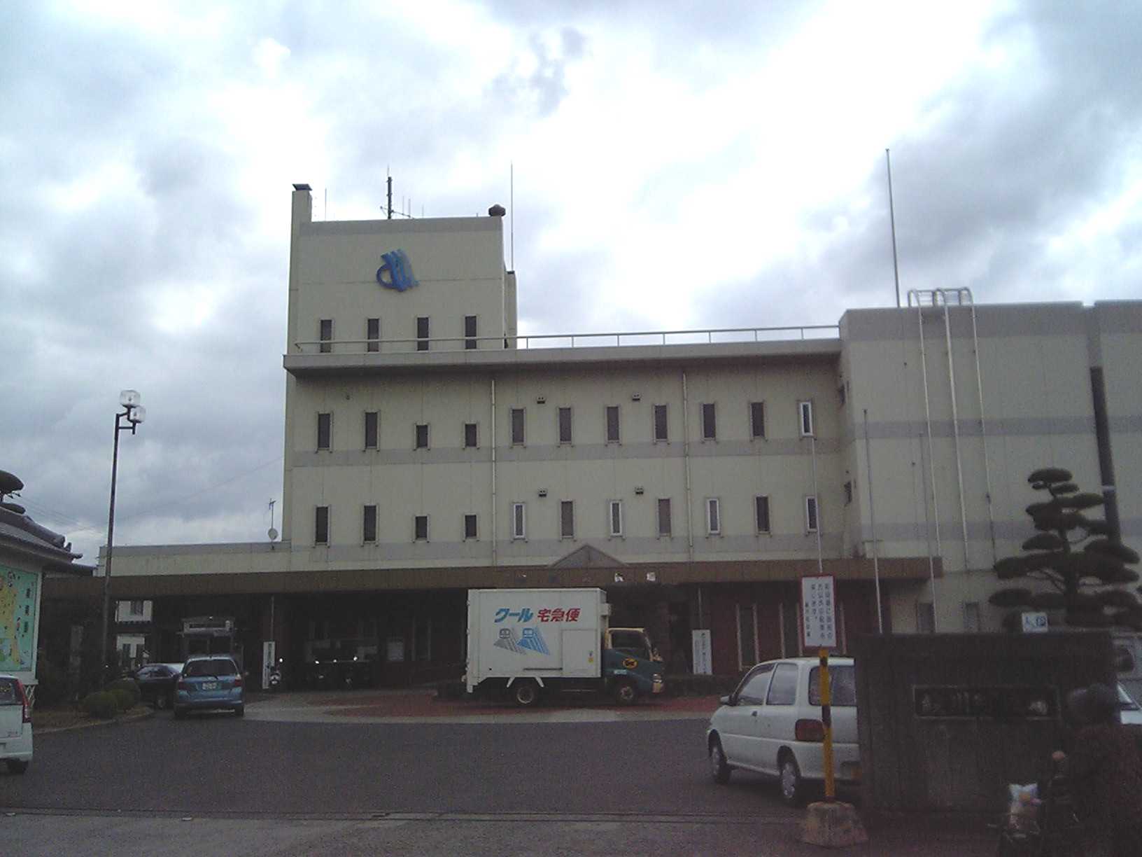
Ayagawa, Kagawa
is a town located in Ayauta District, Kagawa Prefecture, Japan. , the town had an estimated population of 23,427 in 10108 households and a population density of 960 persons per km2. The total area of the town is . Geography Ayagawa is located almost in the center of Kagawa Prefecture, and is bordered by the Sanuki Mountains to the south. Neighbouring municipalities Kagawa Prefecture *Takamatsu *Marugame * Sakaide * Mannō Climate Ayagawa has a humid subtropical climate (Köppen climate classification ''Cfa'') with hot, humid summers, and cool winters. Some rain falls throughout the year, but the months from May to September have the heaviest rain. The average annual temperature in Ayagawa is . The average annual rainfall is with September as the wettest month. The temperatures are highest on average in August, at around , and lowest in January, at around . The highest temperature ever recorded in Ayagawa was on 11 August 2013; the coldest temperature ever recorded was on ... [...More Info...] [...Related Items...] OR: [Wikipedia] [Google] [Baidu] |
