|
Kordun
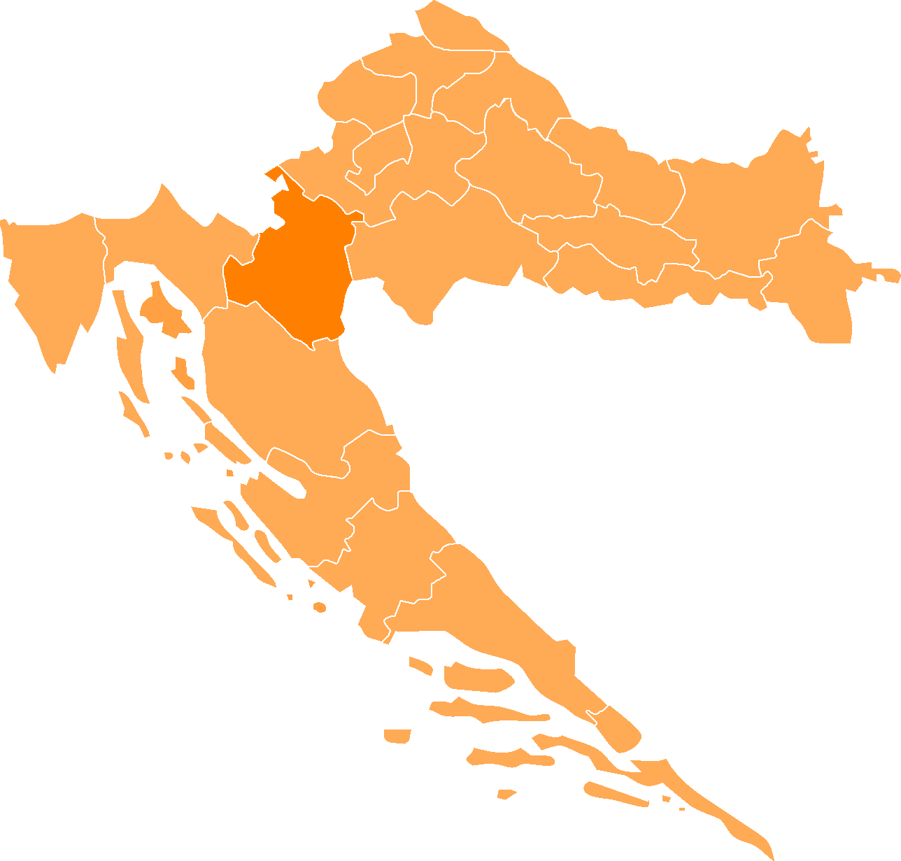
The Kordun () region is a part of central Croatia from the bottom of the Petrova Gora (Peter's mountain) mountain range, which extends along the rivers Korana and Slunjčica, and forms part of the border region to Bosnia and Herzegovina. Within Croatia, Kordun is bordered by the Lika region to the south and by Banovina or Banija to the east. Most of Kordun with its centre Slunj belongs to Karlovac County (Slunj, Cetingrad, Krnjak, Rakovica and Vojnić). Vrginmost belongs to Sisak-Moslavina County. In former times, this region belonged to the Habsburg Military Frontier towards the Ottoman Empire. Following the Croatian War of Independence, a number of towns and municipalities in the region were designated Areas of Special State Concern. The area has rich wood resources. Today, the economic situation is slowly improving, but there is still a large tendency of emigration from the region to larger cities. A typical phenomenon of this region is the porous composition of the karst ... [...More Info...] [...Related Items...] OR: [Wikipedia] [Google] [Baidu] |
Vrginmost, Sisak-Moslavina County
Gvozd () is a municipality in central Croatia, Sisak-Moslavina County. Its seat is located in Vrginmost, which was renamed to Gvozd from 1996–2012. It is an underdeveloped municipality which is statistically classified as the First Category Area of Special State Concern by the Government of Croatia. Languages and names Croatian is the official first language. Serbian language with its Cyrillic alphabet is the officially recognised second language. In Cyrillic, Vrginmost is known as ''Вргинмост'' and (between 1996 and 2012) Gvozd as ''Гвозд''. History In 1097, the last native Croatian King Petar Svačić was killed here during the Battle of Gvozd Mountain, which led to the mountain being renamed Petrova Gora (Petar's Mountain). It was ruled by Ottoman Empire between 1536 and 1691 as part of Bosnia Eyalet. In the summer of 1941, the villages of then District of Vrginmost suffered heavy loss of civilian life with several hundred ethnic Serb men and boys perishin ... [...More Info...] [...Related Items...] OR: [Wikipedia] [Google] [Baidu] |
Cetingrad
Cetingrad is a municipality in Karlovac County, Croatia near Croatia's border with Bosnia and Herzegovina, Bosnia. The population of the village itself is 319, while the total municipality population is 2,027 (2011). The municipality is part of Kordun. Cetingrad is underdeveloped municipality which is statistically classified as the Areas of Special State Concern (Croatia), First Category Area of Special State Concern by the Government of Croatia. Administrative division Cetingrad is today a municipality and part of Karlovac County in Croatia. According to Roman Catholic organization, the parish of Cetingrad is a part of Slunj deanery, together with Slunj, Blagaj, Cvitović, Lađevac, Rakovica, Drežnik, Vaganac, Zavalje, Korenica and Plitvice. History Cetingrad was built in the vicinity of the ruins of the mediaeval fortress of Cetin Castle, Cetin. The Middle Ages was the golden era of Cetin. Near the fortress there was Franciscan monastery and several churches. At that time ... [...More Info...] [...Related Items...] OR: [Wikipedia] [Google] [Baidu] |
Banovina (region)
, settlement_type = Geographic region , image_skyline = Banovina-Banija-Банија.jpg , image_caption = Collage of Banovina Photos , image_shield = , shield_size = , image_map = CroatiaSisak-Moslavina.png , map_caption = Banovina on a map of Croatia. Banovina is located in the southern part of Sisak-Moslavina County , subdivision_type = Country , subdivision_name = , seat_type = Largest city , seat = , area_footnotes = , area_total_km2 = 4463 , population_footnotes = , population_total = 183730 , population_as_of = 2001 , population_density_km2 = auto , footnotes = a Banovina is not designated as an official region, it is a geographic region onl ... [...More Info...] [...Related Items...] OR: [Wikipedia] [Google] [Baidu] |
Vojnić
Vojnić ( sr-Cyrl, Војнић) is a municipality in Karlovac County, Croatia. There are 4,764 inhabitants, 45% of whom are Serbs and 37% of whom are Croats. The municipality is part of Kordun. Vojnić is underdeveloped municipality which is statistically classified as the First Category Area of Special State Concern by the Government of Croatia. Languages and names On the territory of Vojnić municipality, along with Croatian which is official in the whole country, as a second official language has been introduced Serbian language and Serbian Cyrillic alphabet. Demographics In 1991 the municipality of Vojnić had a population of 8,236. 7,366 (89.43%) were Serbs, 436 (5.29%) were Muslims, 116 (1.40%) were Croats and 318 (3.86%) were others. According to the 2011 census, the municipality consists of 46 settlements: * Brdo Utinjsko, population 73 * Bukovica Utinjska, population 80 * Donja Brusovača, population 122 * Dunjak, population 39 * Džaperovac, population 12 ... [...More Info...] [...Related Items...] OR: [Wikipedia] [Google] [Baidu] |
Regions Of Croatia
The Republic of Croatia is administratively organised into twenty counties, and is also traditionally divided into four historical and cultural regions: Croatia Proper, Dalmatia, Istria, and Slavonia. These are further divided into other, smaller regions. Historical regions Smaller regions * Banovina (or Banija) is a region in central Croatia, situated between the rivers Sava, Una and Kupa. * Baranja forms a small enclave between the region of Slavonia and the Republic of Hungary, it lies in the north east of Croatia. The rest of the region known as Baranja is located in Hungary. *Croatian Littoral (''Hrvatsko primorje'') the maritime region of Croatia proper * Gorski kotar the region occupies the area between the major cities of Karlovac and Rijeka (a.k.a. ''Fiume''). The regions main city is Delnice. The river Kupa separates the region from the Republic of Slovenia in the north. *Konavle forms a small subregion of Dalmatia in the very south of Croatia and stretches fro ... [...More Info...] [...Related Items...] OR: [Wikipedia] [Google] [Baidu] |
Military Frontier
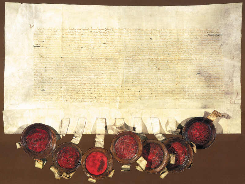
The Military Frontier (german: Militärgrenze, sh-Latn, Vojna krajina/Vojna granica, Војна крајина/Војна граница; hu, Katonai határőrvidék; ro, Graniță militară) was a borderland of the Habsburg monarchy and later the Austrian and Austro-Hungarian Empire. It acted as the ''cordon sanitaire'' against incursions from the Ottoman Empire. The establishment of the new defense system in Hungary and Croatia took place in the 16th century, following the election of Ferdinand I as king. Six districts under special military administration were established in Hungary and Croatia. The Croatian Military Frontier and the Slavonian Military Frontier came under the jurisdiction of the Croatian Sabor and ban. In 1627, they were placed under the direct control of the Habsburg military. For more than two centuries, they would retain complete civilian and military authority over the area, up to the abolition of the Military Frontier in 1881. During the 17th ce ... [...More Info...] [...Related Items...] OR: [Wikipedia] [Google] [Baidu] |
Rakovica, Croatia
Rakovica is a village and a municipality in south-central Croatia, in the region of Kordun south of Karlovac and Slunj, and north of the Plitvice Lakes National Park, Plitvice Lakes. Rakovica is an underdeveloped municipality which is statistically classified as the Areas of Special State Concern (Croatia), First Category Area of Special State Concern by the Government of Croatia. History Rakovica achieved some prominence in Croatian history in October 1871, when several members of the Party of Rights (1861-1929), Croatian Party of Rights led by Eugen Kvaternik disavowed the official party position advocating a political solution to the issue of Croatia within the Habsburg monarchy and instead launched a Rakovica Revolt, revolt in the village. Demographics The total municipality population is 2,387 (2011), while the village itself has 310 residents. According to that census, 94.8% (2,262) are Croats and 3.2% (77) are ethnic Serbs of Croatia, Serbs. Settlements According to the ... [...More Info...] [...Related Items...] OR: [Wikipedia] [Google] [Baidu] |
Slunjčica
The Slunjčica (locally also called Slušnica) is a river, which flows through the Kordun region in central Croatia. It partly flows underground through porous karst (limestone soil) and surfaces in the vicinity of the city of Slunj. At Rastoke the Slunjčica leads into the river Korana, which reaches this point after passing the Plitvice Lakes Plitvice or Plitvička jezera can refer to: * Plitvice Lakes National Park, the largest and oldest national park in Croatia * Plitvička Jezera Plitvička Jezera ( or just ''Plitvice'' ; ''Plitvice Lakes'', in English) is a municipality (''općin ... National Park. The city of Slunj bears its name from this river. Due to its underground course the Slunjčica river has a quite cold temperature even during summer and the nearby situated towns use it as drinking water. External linksThe Waterfalls of the Slunjčica Rivers of Croatia Landforms of Karlovac County {{Croatia-river-stub ... [...More Info...] [...Related Items...] OR: [Wikipedia] [Google] [Baidu] |
Slunj
Slunj ( Hungarian ''Szluin'', old German ''Sluin'', Latin ''Slovin'', archaic Croatian ''Slovin grad'') is a town in the mountainous part of Central Croatia, located along the important North-South route to the Adriatic Sea between Karlovac and Plitvice Lakes National Park, on the meeting of the rivers Korana and Slunjčica. Slunj has a population of 1,674, with a total of 5,076 people in the municipality (2011) and is the cultural and social center of the region of Kordun in the vicinity to Bosnia and Herzegovina. Administratively, the town is part of Karlovac County. Slunj is an underdeveloped municipality which is statistically classified as part of the First Category Area of Special State Concern by the Government of Croatia. History An old fortification of the Frankopans, built during the wars against the Turks, ''Slovin'' was first mentioned in the 12th century. The old fort was property of the Frankopan (Hungarian ''Frangepán'') family since the 15th century, joined ... [...More Info...] [...Related Items...] OR: [Wikipedia] [Google] [Baidu] |
Krnjak
Krnjak ( sr-Cyrl, Крњак) is a village and a municipality in Karlovac County, Croatia. Languages and names On the territory of Krnjak municipality, along with Croatian which is official in the whole country, as a second official language has been introduced Serbian language and Serbian Cyrillic alphabet.Izvješće o provođenju ustavnog zakona o pravima nacionalnih manjina i o utošku sredstava osiguranih u državnom proračunu Republike Hrvatske za 2008. godinu za potrebe nacionalnih manjina, Zagreb, 2009. Population There are a total of 1,985 inhabitants in the municipality (census 2011), 68.6% which are Serbs and 29.2% which are Croats. By mother tongue there are 1,620 Croatian speakers, 201 Serbian speakers and 164 speakers of other languages. The municipality is part of Kordun. Settlements The settlements in the municipality are: * Bijeli Klanac (population 1) * Brebornica (population 63) * Budačka Rijeka (population 245) * Burić Selo (population 29) * Čatr ... [...More Info...] [...Related Items...] OR: [Wikipedia] [Google] [Baidu] |
Phenomenon
A phenomenon ( : phenomena) is an observable event. The term came into its modern philosophical usage through Immanuel Kant, who contrasted it with the noumenon, which ''cannot'' be directly observed. Kant was heavily influenced by Gottfried Wilhelm Leibniz in this part of his philosophy, in which phenomenon and noumenon serve as interrelated technical terms. Far predating this, the ancient Greek Pyrrhonist philosopher Sextus Empiricus also used ''phenomenon'' and ''noumenon'' as interrelated technical terms. Common usage In popular usage, a ''phenomenon'' often refers to an extraordinary event. The term is most commonly used to refer to occurrences that at first defy explanation or baffle the observer. According to the ''Dictionary of Visual Discourse'':In ordinary language 'phenomenon/phenomena' refer to any occurrence worthy of note and investigation, typically an untoward or unusual event, person or fact that is of special significance or otherwise notable. Philosophy ... [...More Info...] [...Related Items...] OR: [Wikipedia] [Google] [Baidu] |
Porous
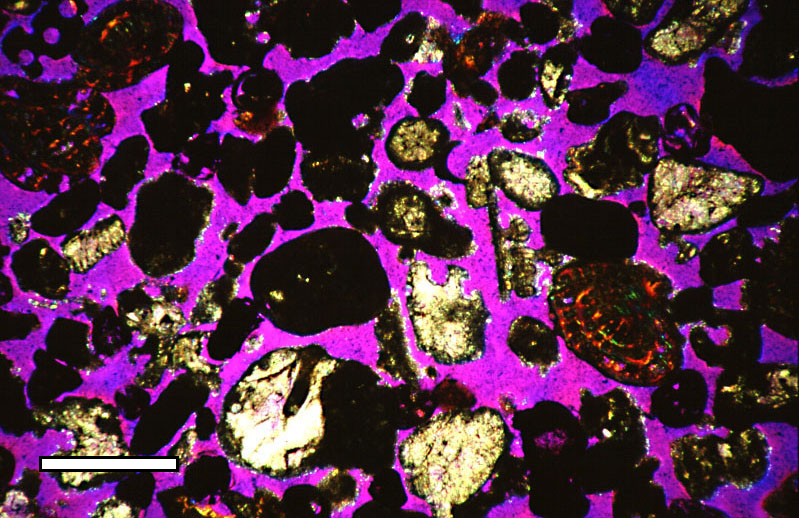
Porosity or void fraction is a measure of the void (i.e. "empty") spaces in a material, and is a fraction of the volume of voids over the total volume, between 0 and 1, or as a percentage between 0% and 100%. Strictly speaking, some tests measure the "accessible void", the total amount of void space accessible from the surface (cf. closed-cell foam). There are many ways to test porosity in a substance or part, such as industrial CT scanning. The term porosity is used in multiple fields including pharmaceutics, ceramics, metallurgy, materials, manufacturing, petrophysics, hydrology, earth sciences, soil mechanics, and engineering. Void fraction in two-phase flow In gas-liquid two-phase flow, the void fraction is defined as the fraction of the flow-channel volume that is occupied by the gas phase or, alternatively, as the fraction of the cross-sectional area of the channel that is occupied by the gas phase. Void fraction usually varies from location to location in the flow ch ... [...More Info...] [...Related Items...] OR: [Wikipedia] [Google] [Baidu] |


.jpg)


