|
Knud Rasmussen Range
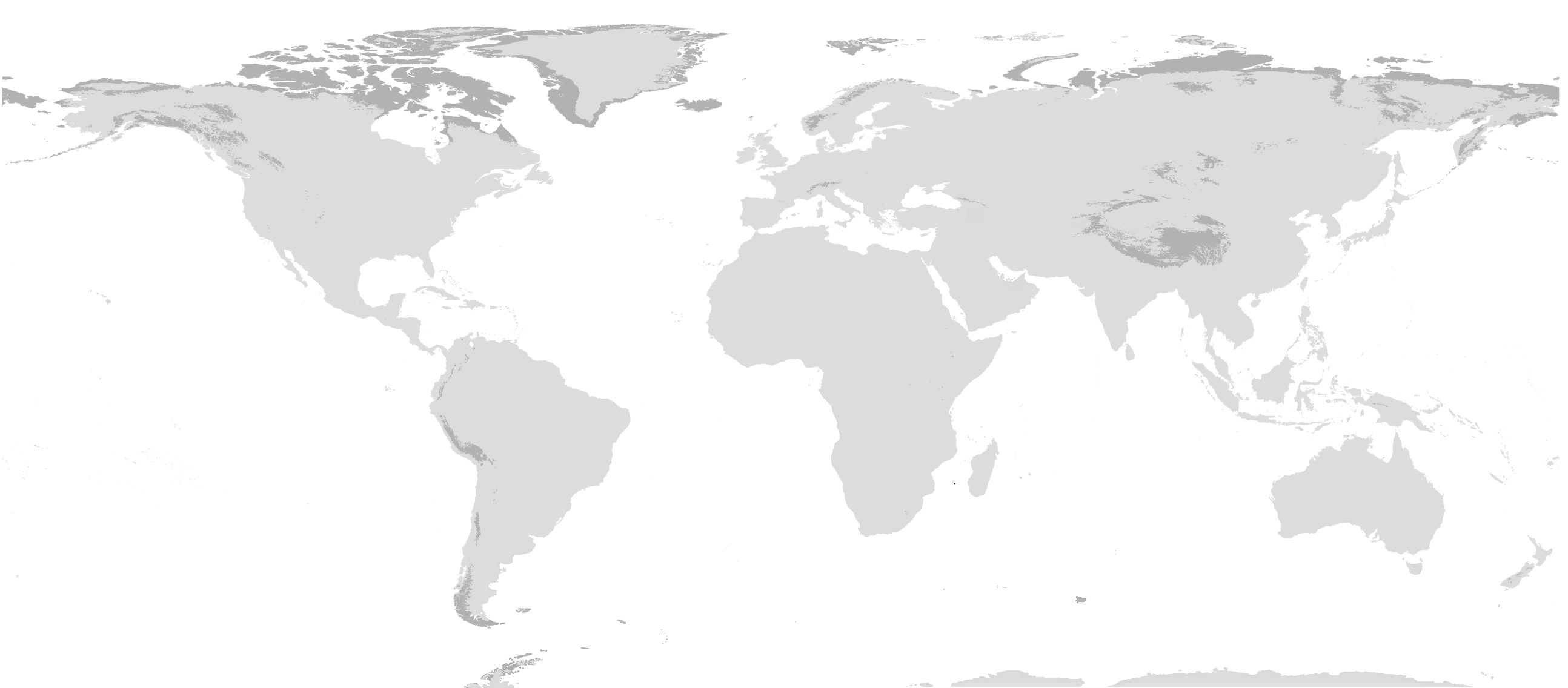
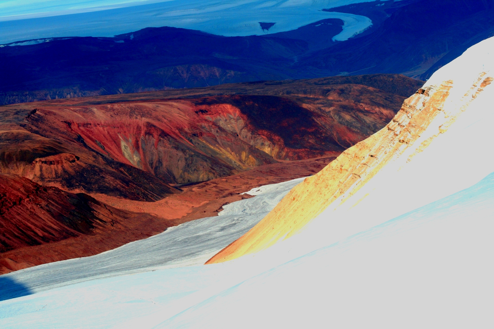
The Knud Rasmussen Range ( da, Knud Rasmussen Bjerge), also known as ''Usugdluk'', is a mountain range in West Greenland. Administratively this range is part of Qeqertalik municipality. The range is named after Greenlandic/Danish polar explorer Knud Rasmussen. Geography The Knud Rasmussen Range is a low mountain chain located west of the Greenland Ice Sheet. It lies south of Tycho Brahe Lake at the terminus of J.P. Koch Glacier and north of Usulluup Sermia glacier. Its average elevation is . The Otto Nordenskjöld Valley divides the range in two parts. The area of the mountain range is uninhabited. Google Earth Climate Tundra climate prevails in the Knud Rasmussen Range. The average annual temperature in the area of the range is -10 °C. The warmest month is July when the average temperature reaches 4 °C and the coldest is February when the temperature sinks to -20 °C. See also *List of mountain ranges of Greenland This is a list of mountain ranges of ... [...More Info...] [...Related Items...] OR: [Wikipedia] [Google] [Baidu] |
Greenland
Greenland ( kl, Kalaallit Nunaat, ; da, Grønland, ) is an island country in North America that is part of the Kingdom of Denmark. It is located between the Arctic and Atlantic oceans, east of the Canadian Arctic Archipelago. Greenland is the world's largest island. It is one of three constituent countries that form the Kingdom of Denmark, along with Denmark and the Faroe Islands; the citizens of these countries are all citizens of Denmark and the European Union. Greenland's capital is Nuuk. Though a part of the continent of North America, Greenland has been politically and culturally associated with Europe (specifically Norway and Denmark, the colonial powers) for more than a millennium, beginning in 986.The Fate of Greenland's Vikings , by Dale Mackenzie Brown, ''Archaeological Institute of America'', ... [...More Info...] [...Related Items...] OR: [Wikipedia] [Google] [Baidu] |
Mountain Range
A mountain range or hill range is a series of mountains or hills arranged in a line and connected by high ground. A mountain system or mountain belt is a group of mountain ranges with similarity in form, structure, and alignment that have arisen from the same cause, usually an orogeny. Mountain ranges are formed by a variety of geological processes, but most of the significant ones on Earth are the result of plate tectonics. Mountain ranges are also found on many planetary mass objects in the Solar System and are likely a feature of most terrestrial planets. Mountain ranges are usually segmented by highlands or mountain passes and valleys. Individual mountains within the same mountain range do not necessarily have the same geologic structure or petrology. They may be a mix of different orogenic expressions and terranes, for example thrust sheets, uplifted blocks, fold mountains, and volcanic landforms resulting in a variety of rock types. Major ranges Most geolo ... [...More Info...] [...Related Items...] OR: [Wikipedia] [Google] [Baidu] |
Qeqertalik
Qeqertalik (, da, Den Ene med Øerne, lit=The One with Islands) is a municipality of Greenland created in 2018 from four southern regions of the former Qaasuitsup Municipality. Geography Qeqertalik Municipality is flanked in the south by the Qeqqata municipality and in the northeast by Avannaata. Over the ice cap, it is bordered in the east by the Sermersooq municipality, however this border runs north–south ( 45° West meridian) through the center of the Greenland ice sheet ( kl, Sermersuaq), and as such is free of traffic. Communities of Qeqertalik encircle Disko Bay, an inlet of the larger Baffin Bay, while the northeastern shores and Nuussuaq Peninsula belong to the neighboring municipality of Avannaata. Politics Qeqertalik's municipal council consists of 15 members, elected every four years. "Kommunalbesty ... [...More Info...] [...Related Items...] OR: [Wikipedia] [Google] [Baidu] |
Knud Rasmussen
Knud Johan Victor Rasmussen (; 7 June 1879 – 21 December 1933) was a Greenlandic–Danish polar explorer and anthropologist. He has been called the "father of Eskimology" (now often known as Inuit Studies or Greenlandic and Arctic Studies) and was the first European to cross the Northwest Passage via dog sled. He remains well known in Greenland, Denmark and among Canadian Inuit.Elizabeth Cruwys, 2003. Early years Rasmussen was born in Jakobshavn, Greenland, the son of a Danish missionary, the vicar Christian Rasmussen, and an Inuit–Danish mother, Lovise Rasmussen (née Fleischer). He had two siblings. Rasmussen spent his early years in Greenland among the Kalaallit where he learned to speak Kalaallisut, hunt, drive dog sleds and live in harsh Arctic conditions. "My playmates were native Greenlanders; from the earliest boyhood I played and worked with the hunters, so even the hardships of the most strenuous sledge-trips became pleasant routine for me." He was later ed ... [...More Info...] [...Related Items...] OR: [Wikipedia] [Google] [Baidu] |
Greenland Ice Sheet
The Greenland ice sheet ( da, Grønlands indlandsis, kl, Sermersuaq) is a vast body of ice covering , roughly near 80% of the surface of Greenland. It is sometimes referred to as an ice cap, or under the term ''inland ice'', or its Danish equivalent, ''indlandsis''. An acronym, GIS, is frequently used in the scientific literature. It is the second largest ice body in the world, after the Antarctic ice sheet. The ice sheet is almost long in a north–south direction, and its greatest width is at a latitude of 77°N, near its northern margin. The average thickness is about and over at its thickest point. In addition to the large ice sheet, smaller ice caps (such as Maniitsoq and Flade Isblink) as well as glaciers, cover between around the periphery. The Greenland ice sheet is adversely affected by climate change. It is more vulnerable to climate change than the Antarctic ice sheet because of its position in the Arctic, where it is subject to the regional amplification o ... [...More Info...] [...Related Items...] OR: [Wikipedia] [Google] [Baidu] |
Tycho Brahe Lake
Tycho is a masculine given name, a latinization of Greek Τύχων, from the name of Tyche ( grc-gre, Τύχη, link=no), the Greek goddess of fortune or luck. The Russian form of the name is ''Tikhon'' (Тихон). People Given name * Tycho Brahe (1546–1601), Danish nobleman and astronomer * Saint Tikhon of Zadonsk (1724–1783), Russian bishop * Tycho van Meer (born 1974), Dutch field hockey striker Surname * Tommy Tycho (1928–2013), Hungarian-Australian pianist, conductor, composer Pseudonym * Tycho (musician) (born 1977) (Scott Hansen), American ambient music artist and producer, also known as ISO50 Astronomy * Tycho (lunar crater) * Tycho Brahe (Martian crater) * The Tycho-1 Catalogue or Tycho-2 Catalogue of stars * SN 1572, a supernova remnant, often called Tycho's supernova * Tycho G, the companion star of SN 1572 * 1677 Tycho Brahe, an asteroid Fiction * Tycho, a desert ranger henchman from the computer game ''Fallout'' * Tycho, a shipboard AI in the computer gam ... [...More Info...] [...Related Items...] OR: [Wikipedia] [Google] [Baidu] |
Google Earth
Google Earth is a computer program that renders a 3D computer graphics, 3D representation of Earth based primarily on satellite imagery. The program maps the Earth by superimposition, superimposing satellite images, aerial photography, and geographic information system, GIS data onto a 3D globe, allowing users to see cities and landscapes from various angles. Users can explore the globe by entering addresses and coordinates, or by using a Computer keyboard, keyboard or computer mouse, mouse. The program can also be downloaded on a smartphone or Tablet computer, tablet, using a touch screen or stylus to navigate. Users may use the program to add their own data using Keyhole Markup Language and upload them through various sources, such as forums or blogs. Google Earth is able to show various kinds of images overlaid on the surface of the earth and is also a Web Map Service client. In 2019, Google has revealed that Google Earth now covers more than 97 percent of the world, and has c ... [...More Info...] [...Related Items...] OR: [Wikipedia] [Google] [Baidu] |
Tundra Climate
The tundra climate is a polar climate sub-type located in high latitudes and high mountains. undra climate https://www.britannica.com/science/tundra-climateThe Editors of Encyclopaedia Britannica, 2019 It is classified as ET according to Köppen climate classification. It is a climate which at least one month has an average temperature high enough to melt snow (), but no month with an average temperature in excess of . Despite the potential diversity of climates in the ''ET'' category involving precipitation, extreme temperatures, and relative wet and dry seasons, this category is rarely subdivided. Rainfall and snowfall are generally slight due to the low vapor pressure of water in the chilly atmosphere, but as a rule potential evapotranspiration is extremely low, allowing soggy terrain of swamps and bogs even in places that get precipitation typical of deserts of lower and middle latitudes. The amount of native tundra biomass depends more on the local temperature than the amoun ... [...More Info...] [...Related Items...] OR: [Wikipedia] [Google] [Baidu] |
List Of Mountain Ranges Of Greenland
This is a list of mountain ranges of Greenland. List by alphabetical order * Alángup Qáqai, located in SW Disko Island * Albert Heim Range ''(Albert Heim Bjerge)'', located in northern Hudson Land, north of Promenadedal. * Alexandrine Range ''(Alexandrine Bjerge)'', rising above the southeastern shore of Denmark Fjord. * Amitsorssûp Qulâ, located south of the Ameralik Fjord in West Greenland. * Barth Range ''(Barth Bjerge)'', located in Queen Margrethe II Land. *Borgtinderne, a long nunatak with multiple peaks east of the Ejnar Mikkelsen Range. Highest peak Borgetinde. * Brages Range ''(Brages Bjerge)'', located at the western end of Odinland in a nunatak between the Fimbul and Sleipner glaciers at the head of the Bernstorff Fjord. *Crown Prince Frederick Range ''(Kronprins Frederik Bjerge)'', very long range of nunataks stretching southwest of Kangerlussuaq Fjord, East Greenland. *Daly Range ''(Daly Bjerge)'', a subrange of the Roosevelt Range located in Peary Land. * ... [...More Info...] [...Related Items...] OR: [Wikipedia] [Google] [Baidu] |


