|
Kimhyonggwon County
Kimhyŏnggwŏn County is a ''kun'', or county, in southeastern Ryanggang province, North Korea. It borders South Hamgyŏng to the south. Previously known as Pungsan, it was renamed by Kim Il Sung in 1990. He named it after his uncle, Kim Hyŏng-gwŏn. It is known for its striking scenery and for the Pungsan Dog, a large breed of hunting dog. Geography Kimhyŏnggwŏn lies on the southeastern edge of the Kaema Plateau, and is covered with mountainous terrain. The Hamgyong Mountains and the Puksubaek Mountains both pass through the county. The highest peak is Paeksan. There are many streams; the chief among them is the Hŏch'ŏn River. Some 88% of the county's area is occupied by forestland. Climate Administrative divisions Kimhyŏnggwŏn county is divided into 1 ''ŭp'' (town), 1 ''rodonjagu'' (workers' district) and 17 ''ri'' (villages): Economy There are several hydroelectric power stations in the county. There is also a great deal of dry-field farming; the chief l ... [...More Info...] [...Related Items...] OR: [Wikipedia] [Google] [Baidu] |
List Of Second-level Administrative Divisions Of North Korea
This is a list of all second-level administrative divisions of North Korea, including ''cities'', ''counties'', ''workers' districts'', ''districts'', and ''wards'', organized by province or directly governed city. Pyongyang Directly Governed City * 18 wards (guyok): Chung, Pyongchon, Potonggang, Moranbong, Sosong, Songyo, Tongdaewon, Taedonggang, Sadong, Taesong, Mangyongdae, Hyongjesan, Ryongsong, Samsok, Ryokpo, Rangnang, Sunan, Unjong * 2 county (kun): Kangdong, Kangnam Rason Special City * 1 ward (guyok): Rajin * 1 county (kun): Sŏnbong Chagang Province * 3 cities (si): Kanggye, Hŭich'ŏn, Manp'o * 15 counties (kun): Changgang, Chasŏng, Chŏnch'ŏn, Ch'osan, Chunggang, Hwap'yŏng, Kop'ung, Rangrim, Ryongrim, Sijung, Sŏnggan, Songwŏn, Tongsin, Usi, Wiwŏn North Hamgyŏng Province * 3 cities (si): Ch'ŏngjin, Hoeryŏng, Kimch'aek * 12 counties (kun): Myŏnggan, Hwadae, Kilju, Kyŏngsŏng, Musan, Myŏngch'ŏn, Onsŏng, Ŏran ... [...More Info...] [...Related Items...] OR: [Wikipedia] [Google] [Baidu] |
Pungsan Dog
The Pungsan, Phungsan, Korean Phungsan, or ''Poongsan'' (Chosongul: 풍산개; Hanja: ) is a breed of hunting dog from Korea, named for originating in Kim Hyong Gwon County, formerly Phungsan county. They were bred in the Kaema highlands of what is now North Korea, and were traditionally used as hunting dogs. The dog is a rare breed, and is sometimes smuggled over the North Korea–China border. The dog was made a national monument of North Korea in April 1956, and the national dog of the DPRK in 2014. Breed According to ''NK News'', international kennel clubs consider Pungsan dogs as "little more than a local Spitz-type variant of Siberian huskies, only less physically impressive and with behavioral issues". History According to the Encyclopedia of Korean Culture by the Academy of Korean Studies under the Ministry of Education, Science and Technology (South Korea) of the South Korean government, the Pungsan dog was first recognized as a national symbol in the Korean ... [...More Info...] [...Related Items...] OR: [Wikipedia] [Google] [Baidu] |
Iron Sulfide
Iron sulfide or Iron sulphide can refer to range of chemical compounds composed of iron and sulfur. Minerals By increasing order of stability: * Iron(II) sulfide, FeS * Greigite, Fe3S4 (cubic) * Pyrrhotite, Fe1−xS (where x = 0 to 0.2) (monoclinic or hexagonal) * Troilite, FeS, the endmember of pyrrhotite (hexagonal) * Mackinawite, Fe1+xS (where x = 0 to 0.1) (tetragonal) * Marcasite, orthorhombic FeS2 * Pyrite, cubic FeS2 (fool's gold) * Arsenopyrite (''mispickel''), FeAsS, or Fe(As-S), Fe(III) mixed arseno-sulfide (monoclinic) Synthetic * Iron(III) sulfide, Fe2S3 * Iron-sulfur clusters, includes both synthetic and biological Biological * Iron–sulfur protein Iron–sulfur proteins (or iron–sulphur proteins in British spelling) are proteins characterized by the presence of iron–sulfur clusters containing sulfide-linked di-, tri-, and tetrairon centers in variable oxidation states. Iron–sulfur cl ... {{DEFAULTSORT:Iron Sulfide Iron compounds Iron minerals Sulfur ... [...More Info...] [...Related Items...] OR: [Wikipedia] [Google] [Baidu] |
Flax
Flax, also known as common flax or linseed, is a flowering plant, ''Linum usitatissimum'', in the family Linaceae. It is cultivated as a food and fiber crop in regions of the world with temperate climates. Textiles made from flax are known in Western countries as linen and are traditionally used for bed sheets, underclothes, and table linen. Its oil is known as linseed oil. In addition to referring to the plant, the word "flax" may refer to the unspun fibers of the flax plant. The plant species is known only as a cultivated plant and appears to have been domesticated just once from the wild species ''Linum bienne'', called pale flax. The plants called "flax" in New Zealand are, by contrast, members of the genus ''Phormium''. Description Several other species in the genus ''Linum'' are similar in appearance to ''L. usitatissimum'', cultivated flax, including some that have similar blue flowers, and others with white, yellow, or red flowers. Some of these are perennial pla ... [...More Info...] [...Related Items...] OR: [Wikipedia] [Google] [Baidu] |
Hydroelectric Power
Hydroelectricity, or hydroelectric power, is electricity generated from hydropower (water power). Hydropower supplies one sixth of the world's electricity, almost 4500 TWh in 2020, which is more than all other renewable sources combined and also more than nuclear power. Hydropower can provide large amounts of low-carbon electricity on demand, making it a key element for creating secure and clean electricity supply systems. A hydroelectric power station that has a dam and reservoir is a flexible source, since the amount of electricity produced can be increased or decreased in seconds or minutes in response to varying electricity demand. Once a hydroelectric complex is constructed, it produces no direct waste, and almost always emits considerably less greenhouse gas than fossil fuel-powered energy plants. [...More Info...] [...Related Items...] OR: [Wikipedia] [Google] [Baidu] |
Korea Meteorological Administration
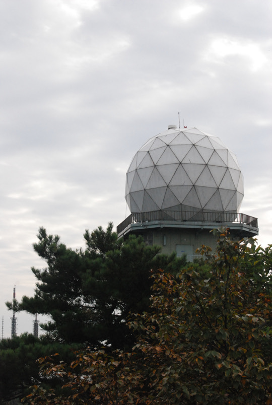
The Korea Meteorological Administration () (KMA) is the national meteorological service of the Republic of Korea. The service started in 1904 joining the WMO in 1956. Numerical Weather Prediction is performed using the Unified Model software suite. History The current Administration was established in 1990. Temporary observatories set up in 1904 in Busan, Incheon, Mokpo and elsewhere were precursors to the current KMA. The Central Meteorological Office (CMO) was established in August 1949. In April 1978, CMO was renamed the Korea Meteorological Service(KMS). In 1999, the Administration introduced a meteorological supercomputer for forecasting. As of November 2021, supercomputers ''Guru'' and ''Maru'' ranked 27th and 28th respectively in the world. In 2010, the KMA launched South Korea’s first geostationary meteorological satellite, the Communication, Ocean and Meteorological Satellite (COMS), also known as Chollian. Chollian started its official operation in 2011. The Seoul an ... [...More Info...] [...Related Items...] OR: [Wikipedia] [Google] [Baidu] |
Hochon River
Hŏch'ŏn County is a county in South Hamgyŏng province, North Korea. It was created after the division of Korea, from portions of Tanch'ŏn and P'ungsan. Geography Most of the county is steep and mountainous, particularly in the southeast. There are numerous high peaks. The Pujŏllyŏng and Kŏmdŏk Mountains (검덕산맥) pass through the county, with the highest peak at Kŏmdŏksan. The chief stream is the Namdaech'ŏn. Approximately 90% of the county is forestland. Administrative divisions Hŏch'ŏn county is divided into 1 '' ŭp'' (town), 5 '' rodongjagu'' (workers' districts) and 17 '' ri'' (villages): Economy Mining and electrical power are the chief local industries. There are deposits of copper, iron ore, lead, and zinc. Local crops include maize, soybeans, and potatoes, but cultivation is difficult due to the mountainous terrain. Sangnong mine is located in this county, to the west of Sangnong-rodongjagu. Transportation Hŏch'ŏn county is served by the ... [...More Info...] [...Related Items...] OR: [Wikipedia] [Google] [Baidu] |
Hamgyong Mountains
The Hamgyong Mountains ( ko, , , ''Hamgyeong Sanmaek''), officially known as the Gangbaekjeonggan and formerly known as the or , is a North Korean mountain range. It lies in the northeast quarter of the country, extending for about southwest and northeast parallel to the Sea of Japan (East Sea of Korea).. Its northern terminus is in the Tumen Valley. To its west are the Kaema Highlands. The southwestern end of the range, west of its turn northwards to meet the Tumen, is also known as the Pujollyong or (, , ''Bujeonryeong Sanmaek''). Overall, the Hamgyongs are the highest range of mountains on the peninsula.. The tallest mountain in the range is Kwanmo Peak (2,540 m), the second-highest after Paektu (China's "Changbai"). Other notable peaks include Du Peak (2,396 m), Gwesang Peak (2,333 m) and Mount Dury (2,303 m). In total, ten major peaks and 62 subsidiary peaks of the mountains in this range are 2,000 m or higher. __NOTOC__ See also * North & Sou ... [...More Info...] [...Related Items...] OR: [Wikipedia] [Google] [Baidu] |
Kaema Plateau
The Kaema Plateau is a highland in North Korea. It is surrounded by the Rangrim Mountains, the Macheollyeong Mountains and the Bujeollyeong Mountains. Elevation varies between 700 and 2,000 meters and is approximately 40,000 square kilometers. The Kaema Plateau slopes downward towards the northern border of the People's Republic of China and is the largest tableland in Korea; it is often called "The roof of Korea". In North Korea, the Kaema Plateau is divided into Kaema Plateau, Jagang Plateau, and Baekmu Plateau (in Musan). Up to approximately one million years ago, the Kaema Plateau was an extension of the Manchurian plains, as such the Hochon River and Changjin River were tributaries of the Songhua River, however basalt from Baekdu Mountain accumulated in Changbai Korean Autonomous County, directing the rivers into the Amnok River in modern times, consequently valleys were formed by the tributaries in the ensuing millennia. Some flat terrain still remains in some part in sou ... [...More Info...] [...Related Items...] OR: [Wikipedia] [Google] [Baidu] |
Kim Hyong Kwon
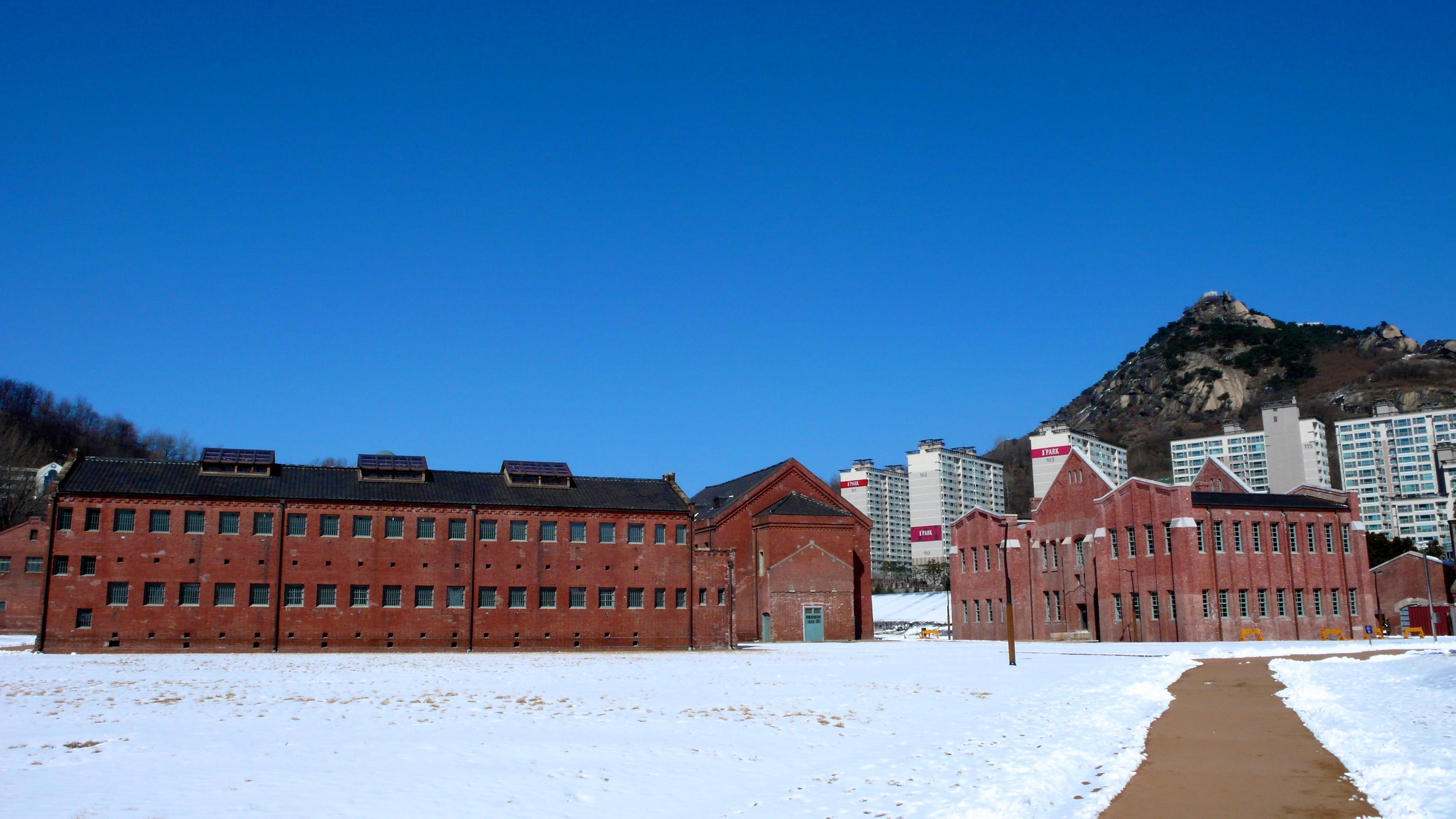
Kim Hyong-gwon (; 4 November 1905 – 12 January 1936) was a Korean revolutionary. He is known for attacking a Japanese police station in Japanese-occupied Korea and subsequently dying in Seoul's Seodaemun Prison where he was serving his sentence. Kim Hyong-gwon was an uncle of the founding North Korean leader, Kim Il-sung. As such, he is among the most celebrated of the Kim family members in North Korean propaganda. Kimhyonggwon County in North Korea is named after him. Personal life In his youth, Kim Hyong-gwon studied in Sunhwa school near his home in present-day Mangyongdae, Pyongyang. Kim was a revolutionary fighter and an active communist in the 1930s. His personality has been described as "hot-tempered". In August 1930, he led a small detachment of guerrillas across the Amnok (Yalu) river to Japanese-occupied Korea from Manchuria. His small group's actions near Pungsan at that time got noticed by the Japanese press. He captured two Japanese police cars, and both of ... [...More Info...] [...Related Items...] OR: [Wikipedia] [Google] [Baidu] |


