|
Kilmaurs Castle
Kilmaurs Castle was located on the lands of Jocksthorn Farm, near Kilmaurs in East Ayrshire, Scotland. It is described by Timothy Pont in the early 17th century as ''"Ye castell is ane ancient ftronge building belonging to ye Earls of Glencairne environed with a fair park called Carmell wod from ye vatter of Carmell yat runs by it."''Dobie, Page 283 Dobie goes on to state that ''"The old baronial manor place is supposed to have been situated about a mile south-east of Kilmaurs, where some ruins can still be pointed out on the farm of Jakisthorn or Jock's-thorn, probably the original Villam de Cuninghame - the first possession of the family."''Dobie, Page 289 The castle is not to be confused with the later Cunninghame family possession known as Kilmaurs Place which Dobie calls ''"..comparatively modern"'' in 1876. History The castle would have been originally held by the De Morville family. In 1527 Cuthbert Cunninghame is said to have lived at both Jocksthorn and The Place, ... [...More Info...] [...Related Items...] OR: [Wikipedia] [Google] [Baidu] |
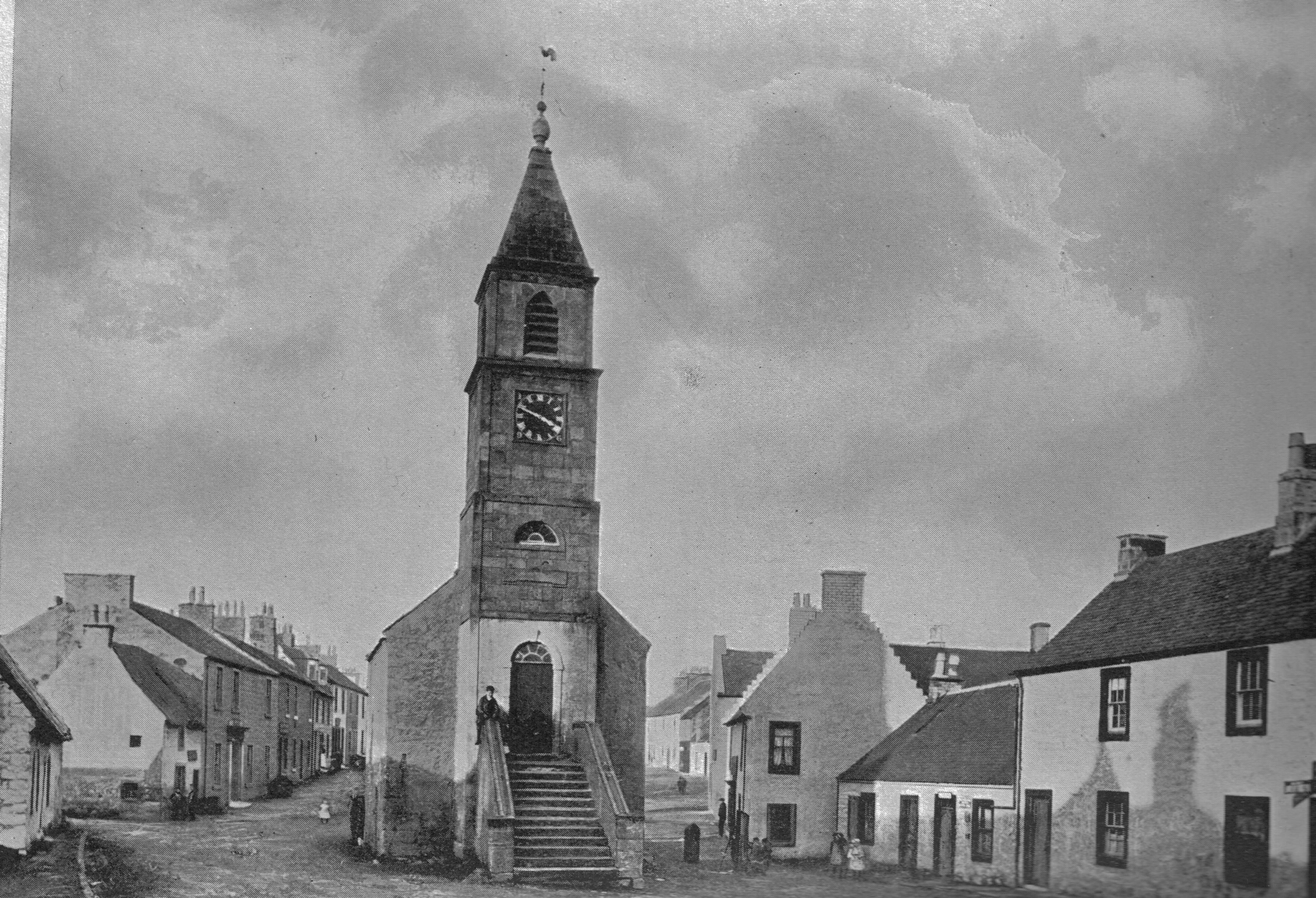
Kilmaurs
Kilmaurs () is a village in East Ayrshire, Scotland which lies just outside of the largest settlement in East Ayrshire, Kilmarnock. It lies on the Carmel Water, southwest of Glasgow. Population recorded for the village in the 2001 Census recorded 2,601 people resided in the village It was in the Civil Parish of Kilmaurs. History Kilmaurs was known as the hamlet of Cunninghame until the 13th century.Groome, Francis H. (1903). ''Ordnance Gazetteer of Scotland.'' Pub. Caxton. London. P. 938.Tranter, Nigel (1965), ''The Fortified House in Scotland. V. 3. South-West Scotland.'' Pub. Oliver & Boyd. P. 40. The population in 1874 was 1,145. Alex Young suggested that the name Kilmaurs comes from the Gaelic meaning Hill of the Great Cairn.Young, Alex F.(2001). Old Kilmaurs and Fenwick. . Young’s suggestion for the Gaelic origins of the placename Kilmaurs is extremely unlikely. Earliest medieval records refer to an early medieval church dedicated to a saint (probably a Saint Maura) c ... [...More Info...] [...Related Items...] OR: [Wikipedia] [Google] [Baidu] |
East Ayrshire
East Ayrshire ( sco, Aest Ayrshire; gd, Siorrachd Àir an Ear) is one of thirty-two council areas of Scotland. It shares borders with Dumfries and Galloway, East Renfrewshire, North Ayrshire, South Ayrshire and South Lanarkshire. The headquarters of the council are located on London Road, Kilmarnock. With South Ayrshire and the mainland areas of North Ayrshire, it formed the former county of Ayrshire. The wider geographical region of East Ayrshire has a population of 122,100 at the last 2011 census, making it the 16th most populous local authority in Scotland. Spanning a geographical area of , East Ayrshire is the 14th-largest local authority in Scotland in terms of geographical area. The majority of the population of East Ayrshire live within and surrounding the main town, Kilmarnock, having a population of over 46,000 people at the 2011 census. Other large population areas in East Ayrshire include Cumnock, the second-largest town in terms of population and area, and smalle ... [...More Info...] [...Related Items...] OR: [Wikipedia] [Google] [Baidu] |
Timothy Pont
Rev Timothy Pont (c. 1560–c.1627) was a Scottish minister, cartographer and topographer. He was the first to produce a detailed map of Scotland. Pont's maps are among the earliest surviving to show a European country in minute detail, from an actual survey. Life He was the elder son of Robert Pont, a Church of Scotland minister in Edinburgh and Lord of Session (judge), by his first wife, Catherine, daughter of Masterton of Grange. He matriculated as student of St. Leonard's College, St. Andrews, in 1580, and obtained the degree of M.A. in 1584. He spent the late 1580s and the 1590s travelling throughout Scotland. Between 1601 and 1610 he was the minister of Dunnet Parish Church in Caithness. He took a year's leave in 1608 to map Scotland. He was continued 7 December 1610; but he resigned some time before 1614, when the name of William Smith appears as minister of the parish. On 25 July 1609 Pont had a Royal grant of two thousand acres (8 km²) in connection with the sch ... [...More Info...] [...Related Items...] OR: [Wikipedia] [Google] [Baidu] |
Tower Castle
A tower castle is a small castle that mainly consists of a fortified tower or a tower-like structure that is built on natural ground. It is thus different from the motte-and-bailey castle, which it may resemble, but whose main defensive structure is built on a ''motte'' or artificial hill. The tower castle is occasionally also described as a tower house castle or a tower house. Sometimes, during the development of a castle, it might be converted from a tower castle to a motte-and-bailey type, if the initial, ground level site is later remodelled by the construction of an artificial mound for the keep or ''Bergfried''. The habitable but also fortified tower castle became the permanent private residence of numerous lords during the 11th and 12th centuries. Since many tower castles had at least a few additional structures such as a curtain wall (castle), curtain wall, often only a few metres long, its overlap with an "ordinary" castle is fluid, as is its transition to the fortified ... [...More Info...] [...Related Items...] OR: [Wikipedia] [Google] [Baidu] |
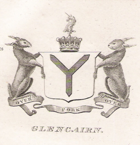
Earl Of Glencairn
Earl of Glencairn was a title in the Peerage of Scotland. It was created in 1488 for Alexander Cunningham, 1st Lord Kilmaurs (created 1450). The name was taken from the parish of Glencairn in Dumfriesshire so named for the Cairn Waters which run through it. On the death of the fifteenth earl in 1796, there existing no original Letters Patent of the creation nor a given remainder in the various confirmations in title of previous earls the title became dormant The earldom was claimed by Sir Adam Fergusson of Kilkerran, Bt., as heir of line of Alexander 10th, Earl of Glencairn and was opposed by Sir Walter Montgomery Cunningham of Corshill, Bt., as presumed heir male along with Lady Henriet Don, sister of the last earl, and wife of Sir Alexander Don of Newton Don, Roxburghshire. The House of Lords Committee of Privileges on 14 July 1797, chaired by the Lord Chancellor ( Lord Rosslyn), in deciding the claim of the first-named, took a view unfavourable to all the claimants, and adju ... [...More Info...] [...Related Items...] OR: [Wikipedia] [Google] [Baidu] |
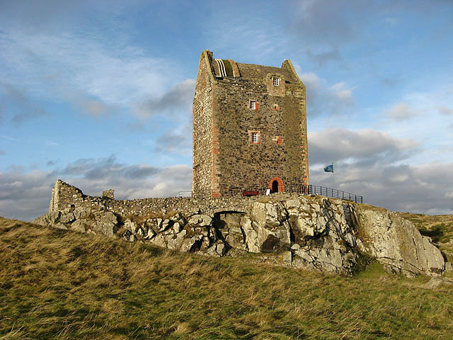
Smailholm Tower - Geograph
Smailholm ( sco, Smailhowm) is a small village in the historic county of Roxburghshire in south-east Scotland. It is at and straddles the B6397 Gordon to Kelso road. The village is almost equidistant from both, standing northwest of the abbey town of Kelso. Since local government reorganisation in Scotland in the early 1970s, Smailholm has been part of the Scottish Borders Council. History Smailholm, in keeping with most of the south eastern part of Scotland, was part of the ancient Kingdom of Northumbria and was named from the Old English language as ''Smael Ham'', meaning "narrow village". In early mediaeval times, the village was larger than it is now and was divided into three separate parts, named East Third, West Third and Overtown. Sir Walter Scott, as a boy, was a regular visitor to his grandfather's farm at Sandyknowe. Captain Cook's mother Jean was born in Smailholm and married his father in Smailholm Church. Before the end of the 18th century, there were two scho ... [...More Info...] [...Related Items...] OR: [Wikipedia] [Google] [Baidu] |
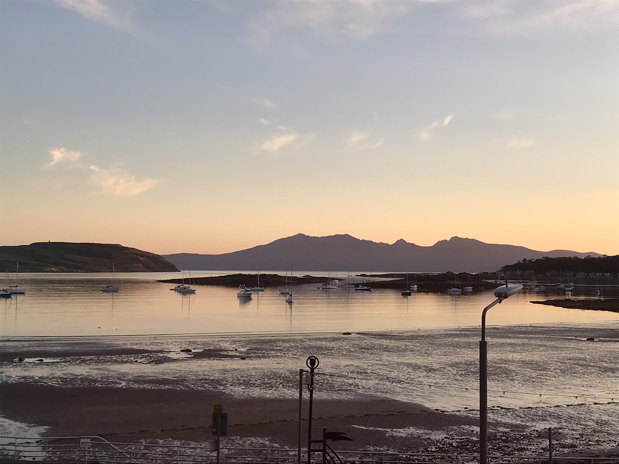
Cumbrae
Great Cumbrae ( sco, Muckle Cumbrae; gd, Cumaradh Mòr; also known as Great Cumbrae Island, Cumbrae or the Isle of Cumbrae) is the larger of the two islands known as The Cumbraes in the lower Firth of Clyde in western Scotland. The island is sometimes called Millport, after its main town. Home to the Cathedral of The Isles and the FSC Millport field study centre, the island has a thriving community of 1,300 residents. Geography The island is roughly long by wide, rising to a height of above sea level at The Glaid Stone, which is a large, naturally occurring rock perched on the highest summit on the island. There is a triangulation pillar nearby, as well as an orientation point which indicates the locations of surrounding landmarks. In clear conditions, views extend north over the upper Clyde estuary to Ben Lomond and the Arrochar Alps. To the west, the larger islands of Bute and Arran can be seen, while on the other side of Knapdale the Paps of Jura may be visible. Loo ... [...More Info...] [...Related Items...] OR: [Wikipedia] [Google] [Baidu] |
Lands Of Tour And Kirkland
The Lands of Tour and Kirkland (NS416406) formed a small estate close to the old Kirktoun and St Maurs-Glencairn collegiate church about 1 km south-east of Kilmaurs, East Ayrshire, Parish of Kilmaurs, Scotland. The word 'Tour' in Scots refers to a 'tower' and 'kirk' to a parish church. History The name 'Tower', changed to 'Tour' in the 1900s, as used nowadays for the nearby estate and the old monastic area below the glebe, derives from the old buildings of the collegiate church community dwellings that lay below this church, once described thus : "''It is a high strong-built house, consisting of several apartments; ... most likely the clergy had this for their residence.''" It is recorded that the collegiate church had a provost, six to eight prebendaries and two choir boys and therefore a fair amount of accommodation was required. The slightly rectangular shaped tower itself stood close to the surviving dovecot dated 1630 and still stood to a significant height as late as ... [...More Info...] [...Related Items...] OR: [Wikipedia] [Google] [Baidu] |
Map Of Dunduff Castle & Roads
A map is a symbolic depiction emphasizing relationships between elements of some space, such as objects, regions, or themes. Many maps are static, fixed to paper or some other durable medium, while others are dynamic or interactive. Although most commonly used to depict geography, maps may represent any space, real or fictional, without regard to context or scale, such as in brain mapping, DNA mapping, or computer network topology mapping. The space being mapped may be two dimensional, such as the surface of the earth, three dimensional, such as the interior of the earth, or even more abstract spaces of any dimension, such as arise in modeling phenomena having many independent variables. Although the earliest maps known are of the heavens, geographic maps of territory have a very long tradition and exist from ancient times. The word "map" comes from the , wherein ''mappa'' meant 'napkin' or 'cloth' and ''mundi'' 'the world'. Thus, "map" became a shortened term referring to ... [...More Info...] [...Related Items...] OR: [Wikipedia] [Google] [Baidu] |
Duncan McNaught
Duncan McNaught LL.D., J.P., (1845 – 1 June 1925) was born in Alexandria, West Dunbartonshire, Alexandria, Dunbartonshire in 1845. He was the parochial school teacher at Kilmaurs in East Ayrshire from 1867 and served at the school for over fifty years, having served as assistant from 1865. He founded the Kilmarnock Conservative Association, jointly founded the Robert Burns World Federation, acted as the editor of the "''Burns Chronicle''" and was the president of what became the Robert Burns World Federation. Life and background In 1870 McNaught was approached by Sir William Montgomerie Cunninghame of Corsehill Castle, Corsehill with a request for assistance with the restoration of the 1600 AD monument to the 7th Earl of Glencairn, his countess and their children that stands in the Glencairn Aisle. The crypt beneath the aisle was first excavated and portions of the monument were recovered. The monument was extensively restored by Robert Boyd, an employee of Messrs. Boyd and F ... [...More Info...] [...Related Items...] OR: [Wikipedia] [Google] [Baidu] |


