|
Keskastel
Keskastel () is a commune in the northwest of the Bas-Rhin department in Grand Est in north-eastern France. Geography Kernkastel is positioned on the banks of the Saar. Surrounding communes are Herbitzheim and Sarralbe to the north with Schopperten and Sarre-Union to the south. The village is the meeting point of several roads, the largest of them being the Route Nationale RN61 (Phalsbourg - Saarbrücken). The A4 Autoroute ( E25) passes to the east, at which point the village hosts a service area and there are a couple of bridges overlooking the autoroute, but there is no road access to the highway: junctions 42 and 43 are approximately ten kilometres (six miles) to the north and south respectively. The village does, however, have its own station on the local railway line. One pillar of the local economy is tourism. There is a camping place with a bathing area: angling facilities are also available, and the village is positioned on a long distance walking path that ... [...More Info...] [...Related Items...] OR: [Wikipedia] [Google] [Baidu] |
Herbitzheim
Herbitzheim () is a commune in the Bas-Rhin department in Grand Est in north-eastern France. Herbitzheim is one of 45 member communes of the Communauté de communes de l'Alsace Bossue. Location The village is located in the north west of Alsace, on the Canal de la Sarre at the point where the little river Eichel flows into the Saar. Surrounding communes are Siltzheim to the north, Oermingen in the south-east and Keskastel to the south. To the west the commune is on the border with Sarreguemines in the adjacent Moselle département. Notable people * Thomas Voeckler, cyclist, grew up in Herbitzheim See also * Communes of the Bas-Rhin department The following is a list of the 514 communes of the Bas-Rhin department of France. The communes cooperate in the following intercommunalities (as of 2020): [...More Info...] [...Related Items...] OR: [Wikipedia] [Google] [Baidu] |
Communes Of The Bas-Rhin Department
The following is a list of the 514 communes of the Bas-Rhin department of France. The communes cooperate in the following intercommunalities (as of 2020):BANATIC Périmètre des EPCI à fiscalité propre. Accessed 3 July 2020. * Eurométropole de Strasbourg * * |
Communes Of France
The () is a level of administrative division in the French Republic. French are analogous to civil townships and incorporated municipalities in the United States and Canada, ' in Germany, ' in Italy, or ' in Spain. The United Kingdom's equivalent are civil parishes, although some areas, particularly urban areas, are unparished. are based on historical geographic communities or villages and are vested with significant powers to manage the populations and land of the geographic area covered. The are the fourth-level administrative divisions of France. vary widely in size and area, from large sprawling cities with millions of inhabitants like Paris, to small hamlets with only a handful of inhabitants. typically are based on pre-existing villages and facilitate local governance. All have names, but not all named geographic areas or groups of people residing together are ( or ), the difference residing in the lack of administrative powers. Except for the municipal arrondi ... [...More Info...] [...Related Items...] OR: [Wikipedia] [Google] [Baidu] |
Saarbrücken
Saarbrücken (; french: link=no, Sarrebruck ; Rhine Franconian: ''Saarbrigge'' ; lb, Saarbrécken ; lat, Saravipons, lit=The Bridge(s) across the Saar river) is the capital and largest city of the state of Saarland, Germany. Saarbrücken is Saarland's administrative, commercial and cultural centre and is next to the French border. The modern city of Saarbrücken was created in 1909 by the merger of three towns, Saarbrücken, St. Johann, and Malstatt-Burbach. It was the industrial and transport centre of the Saar coal basin. Products included iron and steel, sugar, beer, pottery, optical instruments, machinery, and construction materials. Historic landmarks in the city include the stone bridge across the Saar (1546), the Gothic church of St. Arnual, the 18th-century Saarbrücken Castle, and the old part of the town, the ''Sankt Johanner Markt'' (Market of St. Johann). In the 20th century, Saarbrücken was twice separated from Germany: from 1920 to 1935 as capit ... [...More Info...] [...Related Items...] OR: [Wikipedia] [Google] [Baidu] |
Angling
Angling is a fishing technique that uses a fish hook or "angle" (from Old English ''angol'') attached to a fishing line to tether individual fish in the mouth. The fishing line is usually manipulated via a fishing rod, although rodless techniques such as handlining and longlining also exist. Modern angling rods are usually fitted with a reel that functions as a cranking device for storing, retrieving and releasing out the line, although Tenkara fishing and cane pole fishing are two rod-angling methods that do not use any reel. The hook itself can be additionally weighted with a dense tackle called a sinker, and is typically dressed with an appetizing bait to attract the fish and enticing it into swallowing the hook, but sometimes an inedible fake bait with multiple attached hooks (known as a lure) is used instead of a single hook with edible bait. A bite indicator, such as a float or a quiver tip, is often used to relay underwater status of the hook to the surface. When ... [...More Info...] [...Related Items...] OR: [Wikipedia] [Google] [Baidu] |
Railway
Rail transport (also known as train transport) is a means of transport that transfers passengers and goods on wheeled vehicles running on rails, which are incorporated in tracks. In contrast to road transport, where the vehicles run on a prepared flat surface, rail vehicles (rolling stock) are directionally guided by the tracks on which they run. Tracks usually consist of steel rails, installed on sleepers (ties) set in ballast, on which the rolling stock, usually fitted with metal wheels, moves. Other variations are also possible, such as "slab track", in which the rails are fastened to a concrete foundation resting on a prepared subsurface. Rolling stock in a rail transport system generally encounters lower frictional resistance than rubber-tyred road vehicles, so passenger and freight cars (carriages and wagons) can be coupled into longer trains. The operation is carried out by a railway company, providing transport between train stations or freight customer facilit ... [...More Info...] [...Related Items...] OR: [Wikipedia] [Google] [Baidu] |
Rest Area
A rest area is a public facility located next to a large thoroughfare such as a motorway, expressway, or highway, at which drivers and passengers can rest, eat, or refuel without exiting onto secondary roads. Other names include motorway service area (UK), services (UK), travel plaza, rest stop, oasis (US), service area, rest and service area (RSA), resto, service plaza, lay-by, and service centre (Canada). Facilities may include park-like areas, fuel stations, public toilets, water fountains, restaurants, and dump and fill stations for caravans / motorhomes. A rest area with limited to no public facilities is a lay-by, parking area, scenic area, or scenic overlook. Along some highways and roads are services known as wayside parks, roadside parks, or picnic areas. Overview The standards and upkeep of service station facilities vary by jurisdiction. Service stations have parking areas allotted for cars, trucks, articulated trucks, buses and caravans. Most state-run ... [...More Info...] [...Related Items...] OR: [Wikipedia] [Google] [Baidu] |
European Route E25
European route E25 is a north–south European route from Hook of Holland in the Netherlands, to Palermo in Italy which includes ferry crossings from Genoa to Bastia (Corsica), from Bonifacio to Porto Torres (Sardinia) and from Cagliari to Palermo (Sicily). It passes through the following cities: Hook of Holland – Rotterdam – Utrecht - Eindhoven – Maastricht – Liège – Bastogne – Arlon – Luxembourg City – Metz – Saint-Avold – Strasbourg – Mulhouse – Basel – Olten – Bern – Lausanne – Geneva – Mont Blanc Tunnel – Aosta – Ivrea – Vercelli – Alessandria – Genoa ... Bastia – Porto-Vecchio – Bonifacio ... Porto Torres – Sassari – Cagliari ... Palermo. Route description The Belgian part of the E25 is also denoted as 'Route du Soleil'. The title was rejected by France because there is already a 'Route du Soleil' connecting Paris and Marseille. The Belgian 'Route du Soleil' is a branch of the original route, connecting Amsterdam and ... [...More Info...] [...Related Items...] OR: [Wikipedia] [Google] [Baidu] |
A4 Autoroute
The A4 Autoroute, also known as autoroute de l'Est (), is a French ''Controlled-access highway, autoroute'' that travels between the cities of Paris and Strasbourg. It forms parts of European routes European route E25, E25 and European route E50, E50. It is Autoroutes of France, France's second longest after the A10 autoroute. Its construction began in the 1970s near Paris. The first section between Paris's Porte de Bercy and Joinville-le-Pont opened in 1974 with a single carriageway. A second carriageway was added in 1975, and the following sections between Joinville and Metz were opened in 1975 and 1976. Former autoroutes A32 autoroute, A32 and A34 autoroute, A34 were integrated into the A4 in 1982. From Paris, the autoroute passes the new town of Marne-la-Vallée and Eurodisney, Disneyland Paris. It continues on to some of the major cities of France's northeast, including Rheims and Metz, before terminating in Strasbourg. Local roads provide a connection to southern Germany. ... [...More Info...] [...Related Items...] OR: [Wikipedia] [Google] [Baidu] |
Sarre-Union
Sarre-Union () is a commune in the Bas-Rhin department in Grand Est in north-eastern France. It consists of two older towns that were unified on 16 June 1794. On the east bank of the river Sarre is the town of Bouquenom () and on the west bank the town of Ville Neuve de Sarrewerden (). It was renamed ''Saar-Buckenheim'' between 1940 and 1944 during occupation. See also *Communes of the Bas-Rhin department
The following is a list of the 514 com ...
[...More Info...] [...Related Items...] OR: [Wikipedia] [Google] [Baidu] |
Phalsbourg
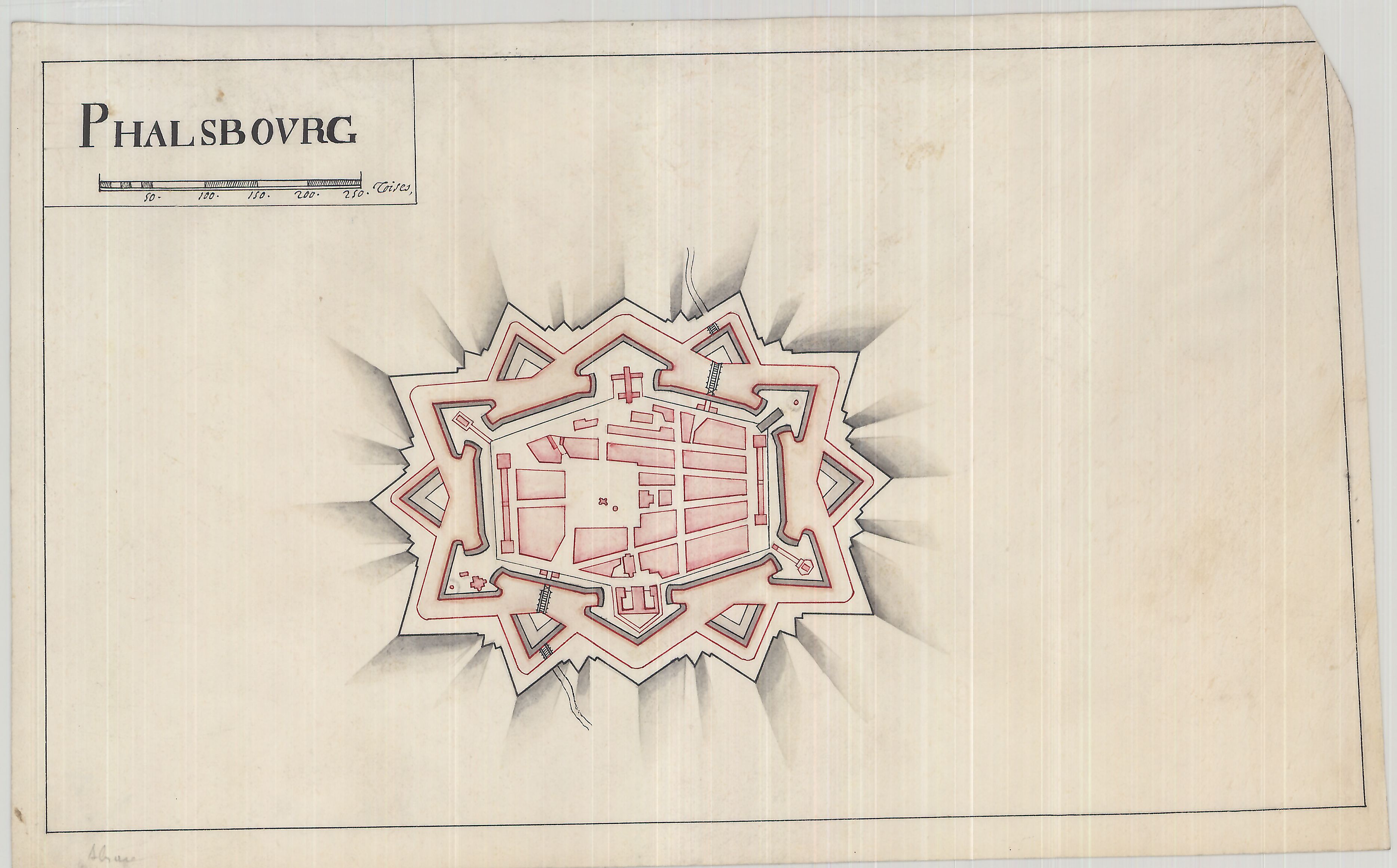
Phalsbourg (; ; Lorraine Franconian: ''Phalsburch'') is a commune in the Moselle department in Grand Est in north-eastern France, with a population of about 5,000. It lies high on the west slopes of the Vosges, northwest of Strasbourg by rail. In 1911, it contained an Evangelical and a Roman Catholic church, a synagogue and a teachers' seminary. Its industries then included the manufacture of gloves, straw hats and liqueurs, and quarrying. History The area of the city of Phalsbourg, originally Pfalzburg, was originally part of the principality of Lützelstein, under the overlordship of Luxembourg, then the bishops of Metz and of Strasbourg, before becoming possessed by the Dukes of Palantine Veldenz, all within the Holy Roman Empire of the German Nation. In 1570, Duke Georg Johann I of Palantine Veldenz founded the town of Pfalzburg as a refuge for Reformed Protestants expelled from of the Duchy of Lorraine, and as an administrative center of his holdings. But the cost forced ... [...More Info...] [...Related Items...] OR: [Wikipedia] [Google] [Baidu] |
Bas-Rhin
Bas-Rhin (; Alsatian: ''Unterelsàss'', ' or '; traditional german: links=no, Niederrhein; en, Lower Rhine) is a department in Alsace which is a part of the Grand Est super-region of France. The name means 'Lower Rhine', referring to its lower altitude among the two French Rhine departments: it is downstream of the Haut-Rhin (Upper Rhine) department. Note that both belong to the European Upper Rhine region. It is, with the Haut-Rhin (Upper Rhine), one of the two departments of the traditional Alsace region which until 1871, also included the area now known as the Territoire de Belfort. The more populous and densely populated of the pair, it had 1,140,057 inhabitants in 2019.Populations légales 2019: 67 Bas-Rhin INSEE The |


