|
Kenmore Square
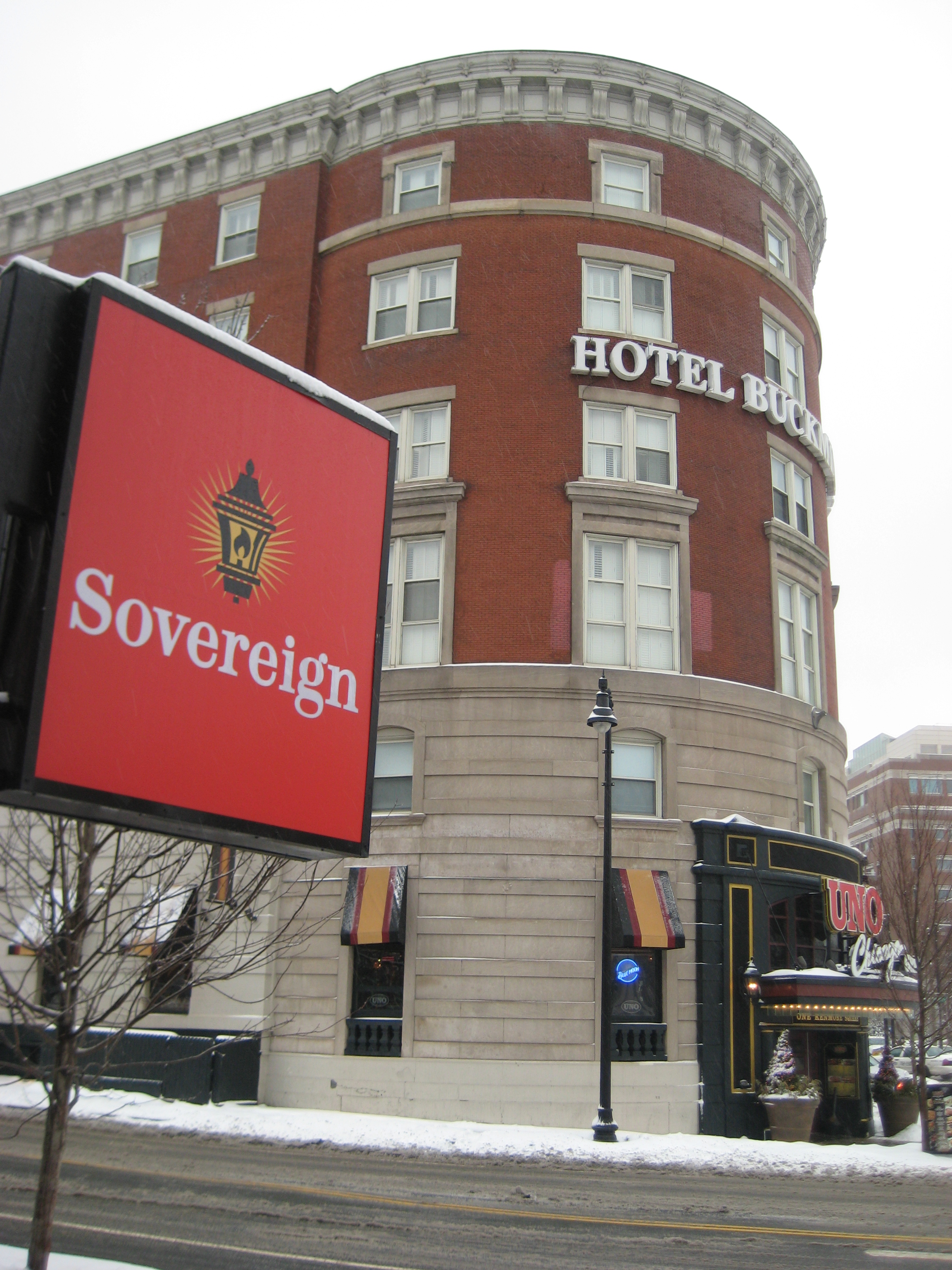
Kenmore Square is a square in Boston, Massachusetts, United States, consisting of the intersection of several main avenues (including Beacon Street and Commonwealth Avenue) as well as several other cross streets, and Kenmore station, an MBTA subway stop. Kenmore Square is close to or abuts Boston University and Fenway Park, and it features Lansdowne Street, a center of Boston nightlife, and the Citgo sign. It is also the eastern terminus of U.S. Route 20, the longest U.S. Highway. History In early Colonial times the land that is now Kenmore Square was an uninhabited corner of the mainland where the narrow Charles River fed into the wide, marshy Back Bay. It was part of the colonial settlement of Boston until 1705, when the hamlet of Muddy River incorporated as the independent town of Brookline. The land ended up in Brookline because the Muddy River - several blocks to the east - formed the eastern border of the new city. An 1821 map shows the area known as Sewell's Point, ... [...More Info...] [...Related Items...] OR: [Wikipedia] [Google] [Baidu] |
Boston
Boston (), officially the City of Boston, is the state capital and most populous city of the Commonwealth of Massachusetts, as well as the cultural and financial center of the New England region of the United States. It is the 24th- most populous city in the country. The city boundaries encompass an area of about and a population of 675,647 as of 2020. It is the seat of Suffolk County (although the county government was disbanded on July 1, 1999). The city is the economic and cultural anchor of a substantially larger metropolitan area known as Greater Boston, a metropolitan statistical area (MSA) home to a census-estimated 4.8 million people in 2016 and ranking as the tenth-largest MSA in the country. A broader combined statistical area (CSA), generally corresponding to the commuting area and including Providence, Rhode Island, is home to approximately 8.2 million people, making it the sixth most populous in the United States. Boston is one of the oldest ... [...More Info...] [...Related Items...] OR: [Wikipedia] [Google] [Baidu] |
Brookline, Massachusetts
Brookline is a town in Norfolk County, Massachusetts, Norfolk County, Massachusetts, in the United States, and part of the Greater Boston, Boston metropolitan area. Brookline borders six of Boston's neighborhoods: Brighton, Boston, Brighton, Allston, Fenway–Kenmore, Mission Hill, Boston, Mission Hill, Jamaica Plain, and West Roxbury. The city of Newton, Massachusetts, Newton lies to the west of Brookline. Brookline was first settled in 1638 as a Hamlet (place), hamlet in Boston, known as Muddy River; it was incorporated as a separate town in 1705. At the time of the 2020 United States Census, the population of the town was 63,191. It is the most populous municipality in Massachusetts to have a New England town, town (rather than city) form of government. History Once part of Algonquian peoples, Algonquian territory, Brookline was first settled by White people, European colonists in the early 17th century. The area was an outlying part of the colonial settlement of Boston a ... [...More Info...] [...Related Items...] OR: [Wikipedia] [Google] [Baidu] |
Green Line A Branch
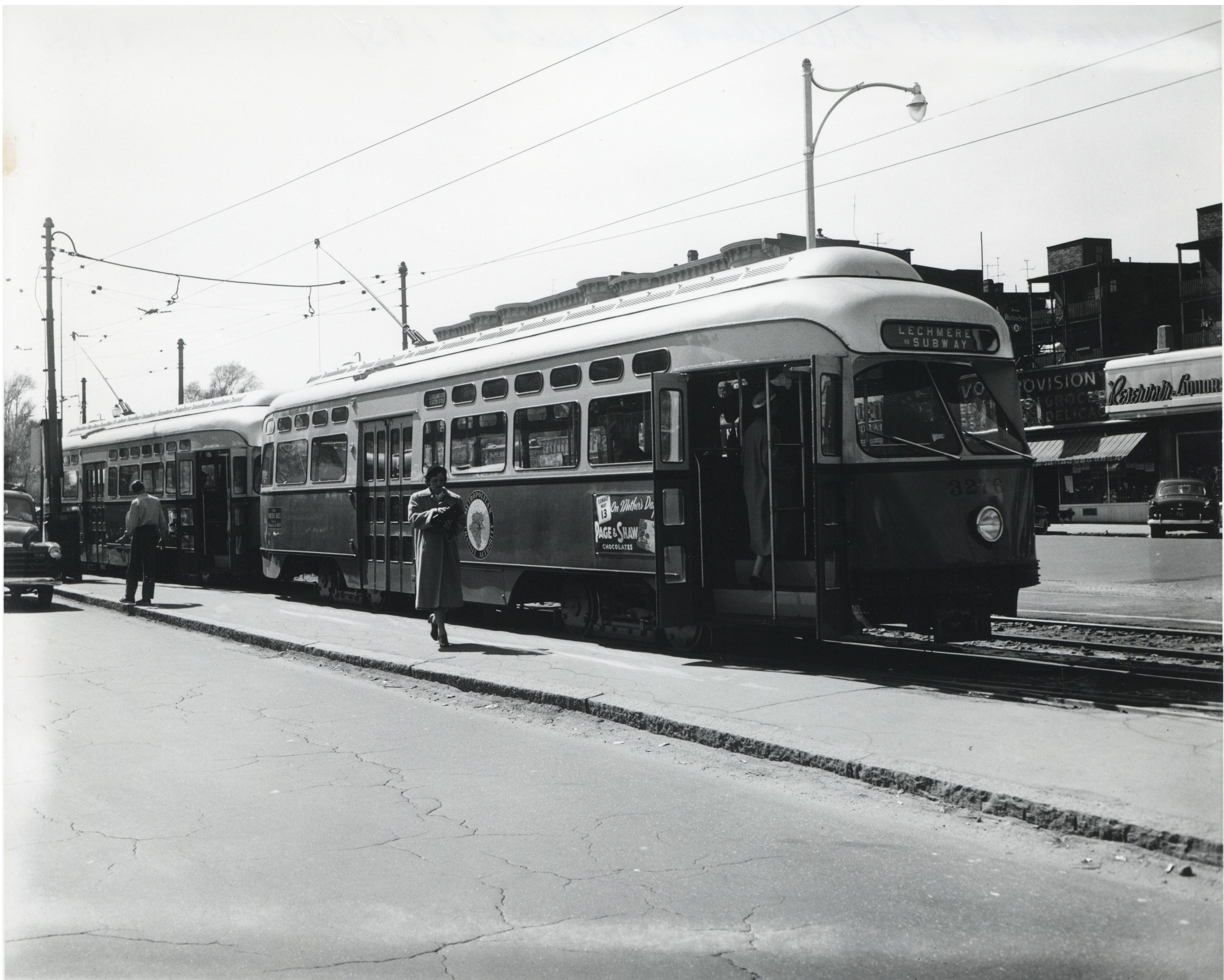
The A branch or Watertown Line was a streetcar line in the Boston, Massachusetts, area, operating as a branch of the Massachusetts Bay Transportation Authority Green Line. The line ran from Watertown through Newton Corner, Brighton, and Allston to Kenmore Square, then used the Boylston Street subway and Tremont Street subway to reach Park Street station. Portions of the route were built as horsecar lines between 1858 and 1880. The segment between and was electrified in 1889 as part of the Beacon Street line. By 1896, electric routes ran from Newton Corner (Nonantum Square) to downtown Boston via Brighton and via Watertown. Brighton service was extended to Watertown in 1912. The line was operated until 1969, when it was replaced by MBTA bus route 57, though it remained in service for non-revenue moves to Watertown Yard until 1994. History Formation Construction of the Brighton Horse Railroad, a horse car street railway, began in 1858. The line began at Central Square ... [...More Info...] [...Related Items...] OR: [Wikipedia] [Google] [Baidu] |
Green Line C Branch
The C branch, also called the Beacon Street Line or Cleveland Circle Line, is one of four branches of the Massachusetts Bay Transportation Authority's Green Line (MBTA), Green Line light rail system in the Boston, Massachusetts metropolitan area. The line begins at Cleveland Circle (MBTA station), Cleveland Circle in the Brighton, Massachusetts, Brighton neighborhood of Boston, Massachusetts, Boston and runs on the surface through Brookline, Massachusetts, Brookline along the median (highway), median of Beacon Street (Boston), Beacon Street. Reentering Boston, the line goes underground through the St. Mary's Street incline and joins the Green Line B branch, B and Green Line D branch, D branches at Kenmore (MBTA station), Kenmore. Trains run through the Boylston Street subway to Copley (MBTA station), Copley where the Green Line E branch, E branch joins, then continue through the Tremont Street subway to downtown Boston. The C branch has terminated at Government Center station (MBTA ... [...More Info...] [...Related Items...] OR: [Wikipedia] [Google] [Baidu] |
Massachusetts Avenue (Boston)
Massachusetts Avenue (colloquially referred to as Mass Ave) is a major thoroughfare in Boston, Massachusetts, and several cities and towns northwest of Boston. According to ''Boston'' magazine, "Its 16 miles of blacktop run from gritty industrial zones to verdant suburbia, passing gentrified brownstones, college campuses and bustling commercial strips." Route The street begins in the Boston neighborhood of Dorchester and runs southeast-northwest through Boston, paralleling Interstate 93 for a short distance. Massachusetts Avenue passes below part of the Boston Medical Center complex near Harrison Street, before passing above routes 9, 2, and the Massachusetts Turnpike (Interstate 90). It crosses the Charles River from the Back Bay neighborhood of Boston into the city of Cambridge via the Harvard Bridge, where passes both U.S. Route 3 and MA-Route 3, it then bisects the campus of the Massachusetts Institute of Technology, passes through Central Square, and curves around two s ... [...More Info...] [...Related Items...] OR: [Wikipedia] [Google] [Baidu] |
Coolidge Corner
Coolidge Corner is a neighborhood of Brookline, Massachusetts, centered on the intersection of Beacon Street and Harvard Street. The neighborhood takes its name from the Coolidge & Brother general store that opened in 1857 at that intersectionOlson Pehlke, Linda:Coolidge Corner", ''Our Town Brookline'' magazine, 2005. URL retrieved 2011-01-11. at the site of today's S.S. Pierce building, which was for many years the only commercial business in north Brookline.Liss, Ken (Brookline Historical Society)Who is Coolidge Corner named after? November 2010. URL retrieved 2011-01-11. Culture Coolidge Corner developed as a transit-oriented streetcar suburb, and retains a pedestrian-friendly, walking around feel. Many popular coffee shops, pharmacies, small independent boutiques, an independent bookstore, and independent restaurants are located there, as well as a few retail chain stores. In recent years, an influx of national bank chains has taken over several prime storefronts, detra ... [...More Info...] [...Related Items...] OR: [Wikipedia] [Google] [Baidu] |
Streetcar
A tram (called a streetcar or trolley in North America) is a rail vehicle that travels on tramway tracks on public urban streets; some include segments on segregated right-of-way. The tramlines or networks operated as public transport are called tramways or simply trams/streetcars. Many recently built tramways use the contemporary term light rail. The vehicles are called streetcars or trolleys (not to be confused with trolleybus) in North America and trams or tramcars elsewhere. The first two terms are often used interchangeably in the United States, with ''trolley'' being the preferred term in the eastern US and ''streetcar'' in the western US. ''Streetcar'' or ''tramway'' are preferred in Canada. In parts of the United States, internally powered buses made to resemble a streetcar are often referred to as "trolleys". To avoid further confusion with trolley buses, the American Public Transportation Association (APTA) refers to them as "trolley-replica buses". In the United ... [...More Info...] [...Related Items...] OR: [Wikipedia] [Google] [Baidu] |
Tremont Street Subway
The Tremont Street subway in Boston's MBTA subway system is the oldest subway tunnel in North America and the third oldest still in use worldwide to exclusively use electric traction (after the City and South London Railway in 1890, and the Budapest Metro's Line 1 in 1896), opening on September 1, 1897. It was originally built, under the supervision of Howard A. Carson as chief engineer, to get streetcar lines off the traffic-clogged streets, instead of as a true rapid transit line. It now forms the central part of the Green Line, connecting Boylston Street to Park Street and Government Center stations. History The tunnel originally served five closely spaced stations: Boylston, Park Street, Scollay Square, Adams Square, and Haymarket, with branches to the Public Garden portal and Pleasant Street incline south of Boylston. Park Street, Scollay Square, and Haymarket stations were altered over the next two decades as transfers were added to the Cambridge–Dorchester sub ... [...More Info...] [...Related Items...] OR: [Wikipedia] [Google] [Baidu] |
Brighton, Massachusetts
Brighton is a Municipal annexation in the United States, former town and current Neighborhoods in Boston, neighborhood of Boston, Massachusetts, United States, located in the northwestern corner of the city. It is named after the English city of Brighton and Hove, Brighton. Initially Brighton was part of Cambridge, Massachusetts, Cambridge, and known as "Little Cambridge". Brighton separated from Cambridge in 1807 after a bridge dispute, and was annexed to Boston in 1874. For much of its early history, it was a rural town with a significant commercial center at its eastern end. The neighborhood of Allston was also formerly part of the town of Brighton, but is now often considered to be separate, leading to the name Allston–Brighton for the combined area. This historic center of Brighton is the Brighton Center Historic District. The Aberdeen section of Brighton was designated as a local architectural conservation district by the Boston Landmarks Commission in 2001. History In ... [...More Info...] [...Related Items...] OR: [Wikipedia] [Google] [Baidu] |
Massachusetts Turnpike
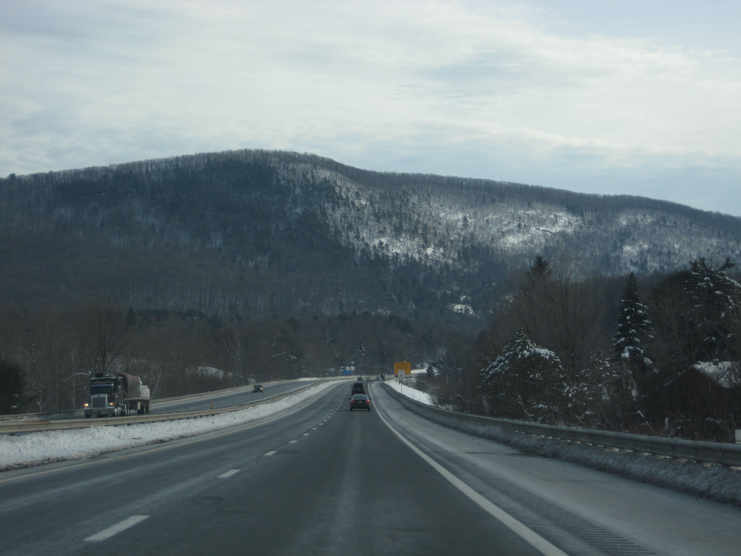
The Massachusetts Turnpike (colloquially "Mass Pike" or "the Pike") is a toll highway in the US state of Massachusetts that is maintained by the Massachusetts Department of Transportation (MassDOT). The turnpike begins at the New York state line in West Stockbridge, linking with the Berkshire Connector portion of the New York State Thruway. Spanning along an east–west axis, the turnpike constitutes the Massachusetts section of Interstate 90 (I-90). The turnpike is the longest Interstate Highway in Massachusetts, while I-90, in full (which begins in Seattle, Washington), is the longest Interstate Highway in the United States. The turnpike opened in 1957, and it was designated as part of the Interstate Highway System in 1959. The original western terminus of the turnpike was located at Route 102 in West Stockbridge before I-90 had been completed in New York state. The turnpike intersects with several Interstate Highways as it traverses the state, including I-91 i ... [...More Info...] [...Related Items...] OR: [Wikipedia] [Google] [Baidu] |
Green Line (MBTA)
The Green Line is a light rail system run by the Massachusetts Bay Transportation Authority (MBTA) in the Boston, Massachusetts, metropolitan area. It is the oldest MBTA subway line, and with tunnel sections dating from 1897, the oldest subway in North America. It runs underground through downtown Boston, and on the surface into inner suburbs via six branches on radial boulevards and grade-separated alignments. With an average daily weekday ridership of 137,700 in 2019, it is List of United States light rail systems by ridership, the third most heavily used light rail system in the country. The line was assigned the green color in 1967 during a systemwide rebranding because several branches pass through sections of the Emerald Necklace of Boston. The four branches are the remnants of a large streetcar system, which began in 1856 with the Cambridge Horse Railroad and was consolidated into the Boston Elevated Railway several decades later. The branches all travel downtown through t ... [...More Info...] [...Related Items...] OR: [Wikipedia] [Google] [Baidu] |
South Station (Boston)
South Station, officially The Governor Michael S. Dukakis Transportation Center at South Station, is the largest railroad station and intercity bus terminal in Greater Boston and New England's second-largest transportation center after Logan International Airport. Located at the intersection of Atlantic Avenue (Boston), Atlantic Avenue and Summer Street (Boston), Summer Street in Dewey Square, Boston, Boston, Massachusetts, the historic station building was constructed in 1899 to replace the downtown terminals of several railroads. Today, it serves as a major intermodal passenger transport, intermodal domestic transportation hub, with service to the Greater Boston region and the Northeastern and Midwestern United States. It is used by thousands of commuter rail and intercity rail passengers daily. Connections to the rapid transit Red Line (MBTA), Red Line and bus rapid transit Silver Line (MBTA), Silver Line are made through the adjacent South Station (subway), subway station. T ... [...More Info...] [...Related Items...] OR: [Wikipedia] [Google] [Baidu] |


.jpg)


