|
Kellamballi
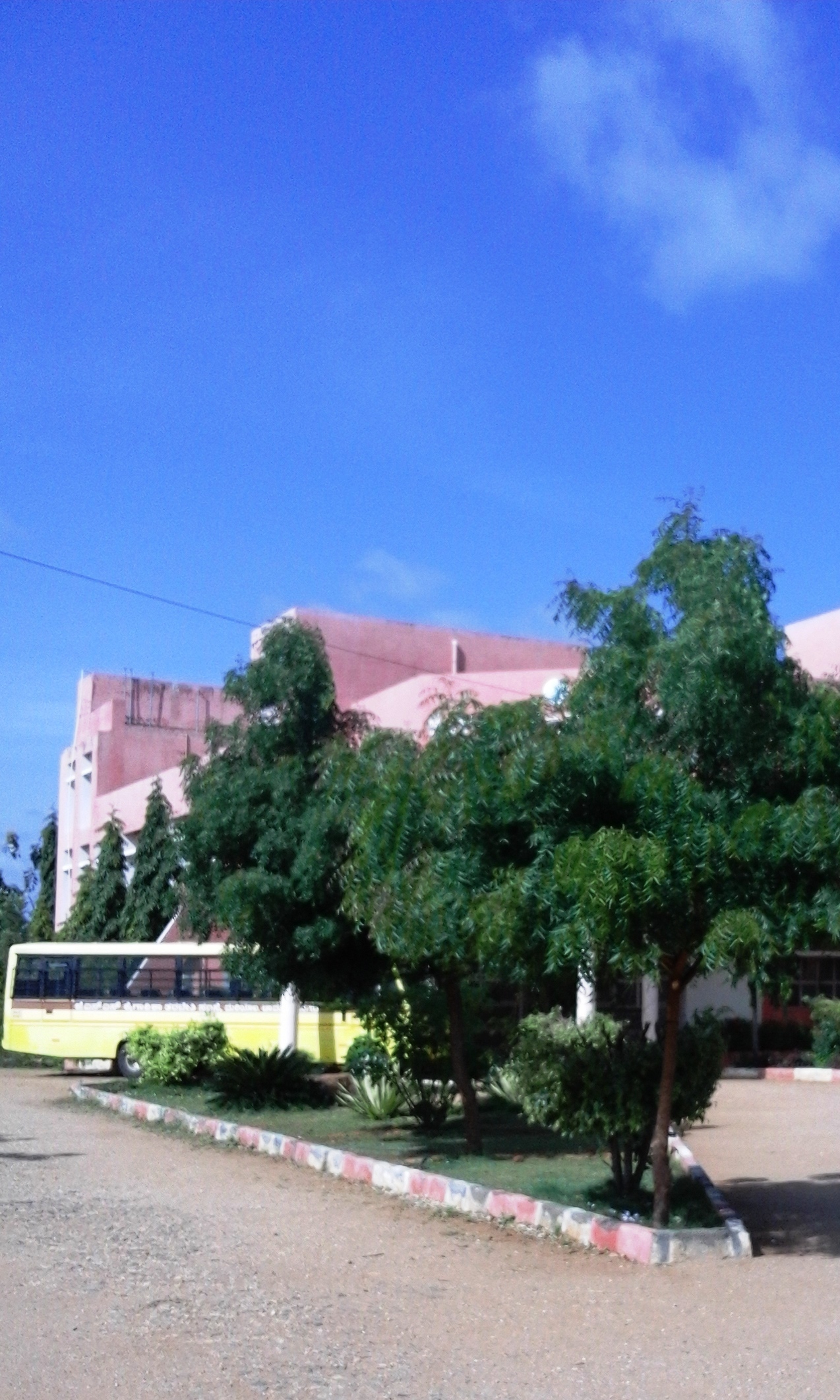
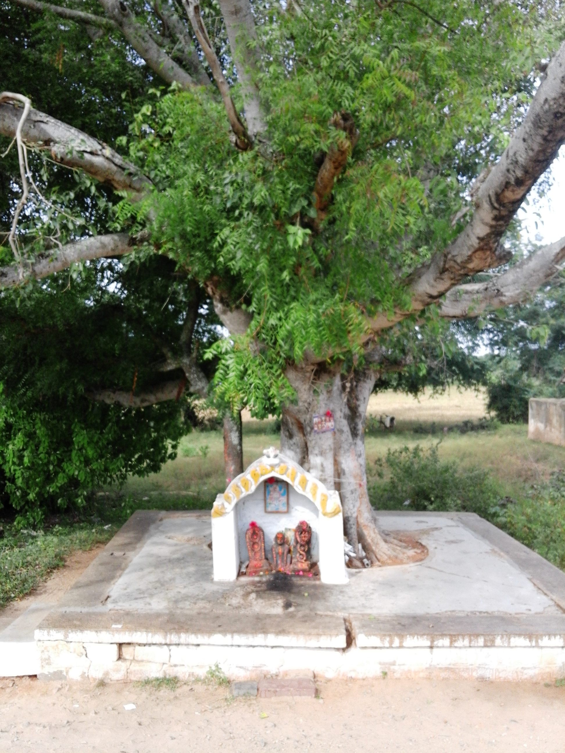
Kellamballi is a small village in Chamarajanagar district of Karnataka state, India. Location Kellamballi is located between Nanjangud town and Chamarajanagar town on Mysore Chamarajanagar main road. Kellamballi is at a distance of two kilometers from Chamarajanagar town. Access Kellamballi village is easily accessible from Mysore-Chamarajanagar main road. There is a railway station in the village which is called Mariyala Gangavadi railway station. Post office There is a post office (Zilla Adalitha Bhavan) at Kellamballi village and the postal code is 571313. Demographics The people of Kellamballi are chiefly agrarian. A few work in government establishments in Chamarajanagar town. The population of the village is 2,342 living in 513 houses. The area of the village is 1060 hectares. Economy The provincial government has started a Rs.400 crore project on 1`,595 acres of land called Badanaguppe-Kellamballi Industrial Estate which will include sectors like automobile, food ... [...More Info...] [...Related Items...] OR: [Wikipedia] [Google] [Baidu] |
Mariyala
Mariyala is a village in Chamarajanagar district of Karnataka state, India. Location Mariyala is located at 4.8 kilometer northwest of Chamarajanagar town. Transportation Mariyala is served by Mariyala Gangavadi railway station. The village is on the highway between Chamarajanagar and Mysore. Post Offices * Mariyala: 571313. * Gangavadi: 571441. Demographics 2,255 people live in the village in 591 families. The literacy rate is 55%. The village is ruled by a sarpanch. Education * Government Primary School, Mariyala is at the very beginning of the village directly opposite to the village temple. * There is a new private P.U.College at the end of the village. * JSS Institute, Mariyala gives training to become electricians, fitters, electronics mechanics etc. The trainees are assisted for placements through SJCE Mysore. See also * Kavalande * Badanaguppe * Chamarajanagar *Mukkadahalli * Kellamballi Kellamballi is a small village in Chamarajanagar district of Karnata ... [...More Info...] [...Related Items...] OR: [Wikipedia] [Google] [Baidu] |
Badanaguppe
Badanaguppe is a village in Chamarajanagar district of Karnataka state, India. Location Badanaguppe is located 11 km from Chamarajanagar town and 157 km from Bangalore, on the highway between Chamarajanagar and Nanjangud town. Economy The people of the village are completely agrarian in their occupation. There is a branch of Canara Bank in the village. The provincial government has started a project on 1,595 acres of land called ''Badanaguppe-Kellamballi Industrial Estate'' which will include sectors like automobile, food processing, textiles, leather, granite and agriculture related industries. Tourist attractions * Panyada Hundi temple, Badanaguppe. Post office There is a post office at Badanaguppe and the pin code is 571313. Nearby places Nanjedevanapura (8 km), Mukkadahalli (9 km), Madapura (10 km), Harave (10 km), Kuderu (10 km) are the nearby villages to Badanaguppe. Demographics 3,498 people live in Badanaguppe and there ar ... [...More Info...] [...Related Items...] OR: [Wikipedia] [Google] [Baidu] |
Chamarajanagar
Chamarajanagar or Chamarajanagara is a town in the southern part of Karnataka, India. Named after Chamaraja Wodeyar IX, the erstwhile king of Mysore, previously known as 'Arikottara'. Chamarajanagara is the headquarters of Chamarajanagar district. It is located on the interstate highway linking the neighboring states of Tamil Nadu and Kerala. History Chamarajanagar was earlier known as Sri Arikottara. Chamaraja Wodeyar, the Wodeyar of Mysuru was born here and hence this place was renamed after him. The Vijaya Parsvanath Basadi, a holy jain shrine was constructed by Punisadandanayaka, the commander of the Hoysala king Gangaraja in the year 1117 AD. Geography Chamarajnagar is located at . It has an average elevation of . Demographics As of the 2011 census, Chamrajanagar had a population of 69875. Males constituted 51% of the population and females 49%. Chamrajanagar has an average literacy rate of 60%, higher than the national average of 59.5%; with male literacy of 65% and ... [...More Info...] [...Related Items...] OR: [Wikipedia] [Google] [Baidu] |
Mariyala Gangavadi Railway Station
Mariyala-Gangawadi is a railway station on Mysore–Chamarajanagar branch line. The station is located in Chamarajanagara District, Karnataka state, India. Location Mariyala-Gangavadi railway station is located near Mariyala village in Chamarajanagar district. History The project cost . The gauge conversion work of the stretch was completed. There are six trains running forward and backward in this route. Five of them are slow moving passenger trains. Image gallery File:Mariyala Gaganavadi.jpg, Railway station view File:Mariyala Railway Station.jpg, Railway station File:Mariyala Gate.jpg, Gate of Gangavadi See also * Badanaguppe * Kellamballi * Chamarajanagar Chamarajanagar or Chamarajanagara is a town in the southern part of Karnataka, India. Named after Chamaraja Wodeyar IX, the erstwhile king of Mysore, previously known as 'Arikottara'. Chamarajanagara is the headquarters of Chamarajanagar distr ... References Railway stations in Chamarajanagar district Mys ... [...More Info...] [...Related Items...] OR: [Wikipedia] [Google] [Baidu] |
Cute Little Church Of Kellamballi
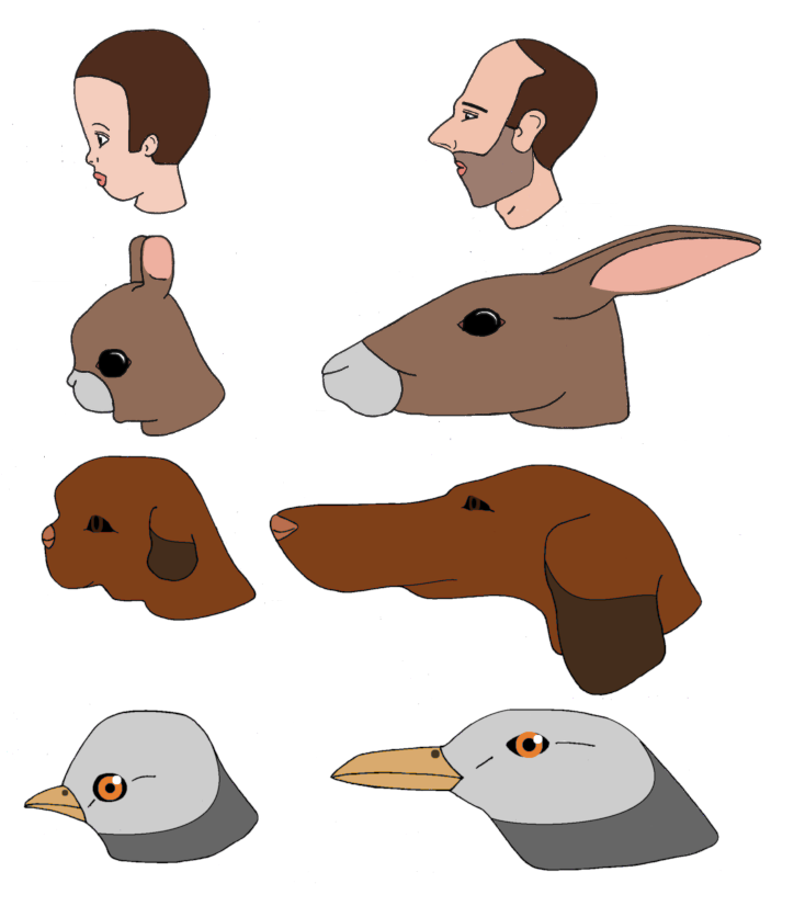
Cuteness is a subjective term describing a type of attractiveness commonly associated with youth and appearance, as well as a scientific concept and analytical model in ethology, first introduced by Konrad Lorenz. Lorenz proposed the concept of baby schema (''Kindchenschema''), a set of facial and body features that make a creature appear "cute" and activate ("release") in others the motivation to care for it.Glocker ML, Langleben DD, Ruparel K, Loughead JW, Valdez JN, Griffin MD, Sachser N, Gur RC"Baby schema modulates the brain reward system in nulliparous women."''Proceedings of the National Academy of Sciences – U.S.A'' 2009 June 2;106(22):9115–9119. Cuteness may be ascribed to people as well as things that are regarded as attractive or charming. Juvenile traits Doug Jones, a visiting scholar in anthropology at Cornell University, said that the proportions of facial features change with age due to changes in hard tissue and soft tissue, and Jones said that these ... [...More Info...] [...Related Items...] OR: [Wikipedia] [Google] [Baidu] |
Karnataka
Karnataka (; ISO: , , also known as Karunāḍu) is a state in the southwestern region of India. It was formed on 1 November 1956, with the passage of the States Reorganisation Act. Originally known as Mysore State , it was renamed ''Karnataka'' in 1973. The state corresponds to the Carnatic region. Its capital and largest city is Bengaluru. Karnataka is bordered by the Lakshadweep Sea to the west, Goa to the northwest, Maharashtra to the north, Telangana to the northeast, Andhra Pradesh to the east, Tamil Nadu to the southeast, and Kerala to the southwest. It is the only southern state to have land borders with all of the other four southern Indian sister states. The state covers an area of , or 5.83 percent of the total geographical area of India. It is the sixth-largest Indian state by area. With 61,130,704 inhabitants at the 2011 census, Karnataka is the eighth-largest state by population, comprising 31 districts. Kannada, one of the classical languages of India, ... [...More Info...] [...Related Items...] OR: [Wikipedia] [Google] [Baidu] |
Postal Index Number
A Postal Index Number (PIN; sometimes redundantly a PIN code) refers to a six-digit code in the Indian postal code system used by India Post. On 15 August 2022, the PIN system celebrated its 50th anniversary. History The PIN system was introduced on 15 August 1972 by Shriram Bhikaji Velankar, an additional secretary in the Government of India's Ministry of Communications. The system was introduced to simplify the manual sorting and delivery of mail by eliminating confusion over incorrect addresses, similar place names, and different languages used by the public. PIN structure The first digit of a PIN indicates the zone, the second indicates the sub-zone, and the third, combined with the first two, indicates the sorting district within that zone. The final three digits are assigned to individual post offices within the sorting district. Postal zones There are nine postal zones in India, including eight regional zones and one functional zone (for the Indian Army). The f ... [...More Info...] [...Related Items...] OR: [Wikipedia] [Google] [Baidu] |


