|
Keisei Railway
The (stylized as K'SEI since 2001) is a major private railway in Chiba Prefecture and Tokyo, Japan. The name ''Keisei'' is the combination of the kanji 京 from and 成 from , which the railway's main line connects. The combination uses different readings than the ones used in the city names. The railway's main line runs from Tokyo to Narita and the eastern suburb cities of Funabashi, Narashino, Yachiyo, and Sakura. Keisei runs an airport limited express train called the ''Skyliner'' from Ueno and to Narita International Airport. In addition to its railway business, the Keisei Electric Railway Company owns large bus and taxi services and some real estate holdings. It owns a large share of the Oriental Land Company which owns and manages the Tokyo Disney Resort. Keisei is listed on the Tokyo Stock Exchange and is a constituent of the Nikkei 225 index. History Keisei was founded on June 30, 1909 and began services on November 3, 1912, initially operating local train servi ... [...More Info...] [...Related Items...] OR: [Wikipedia] [Google] [Baidu] |
Public Company
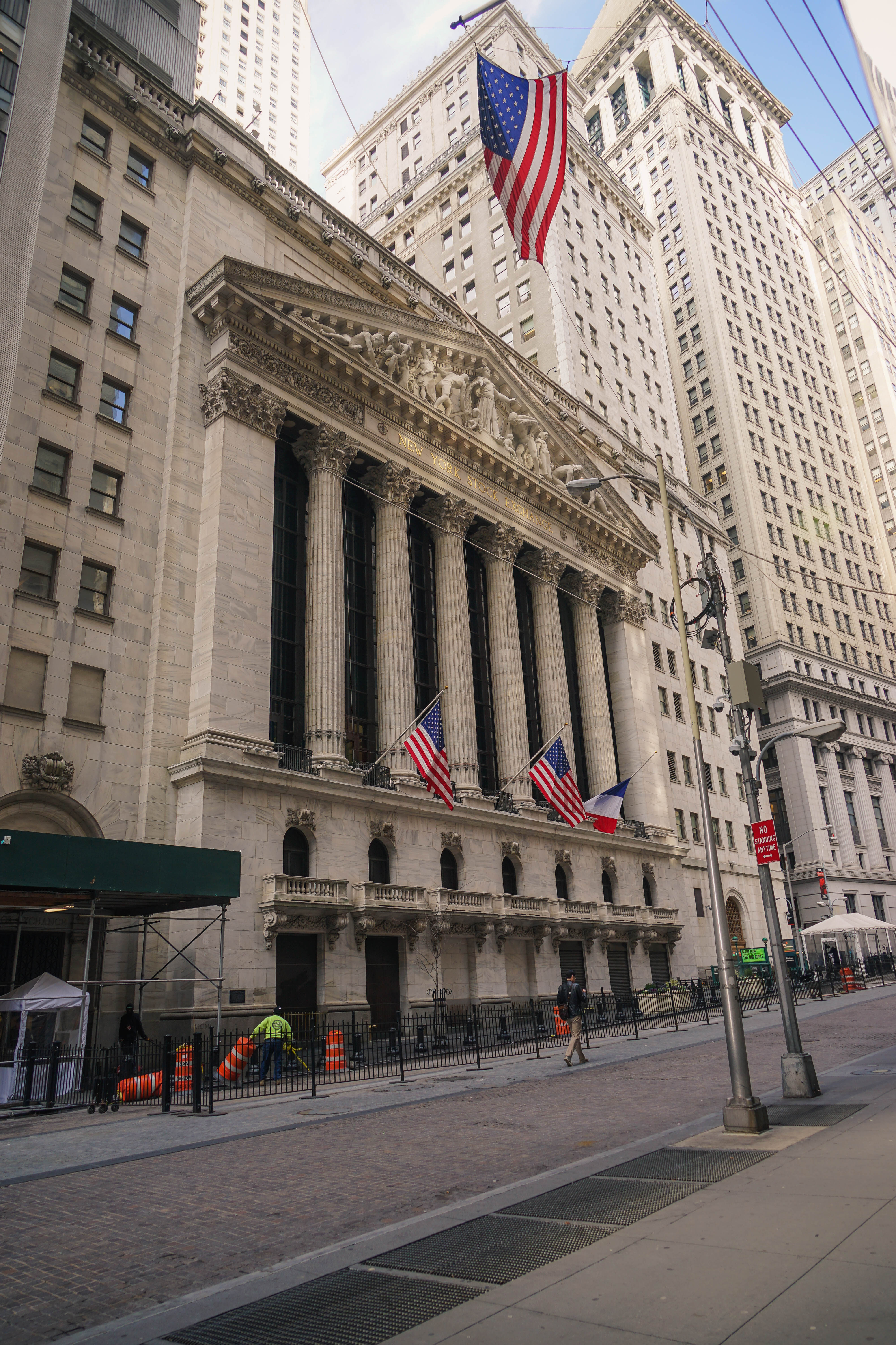
A public company is a company whose ownership is organized via shares of stock which are intended to be freely traded on a stock exchange or in over-the-counter markets. A public (publicly traded) company can be listed on a stock exchange (listed company), which facilitates the trade of shares, or not (unlisted public company). In some jurisdictions, public companies over a certain size must be listed on an exchange. In most cases, public companies are ''private'' enterprises in the ''private'' sector, and "public" emphasizes their reporting and trading on the public markets. Public companies are formed within the legal systems of particular states, and therefore have associations and formal designations which are distinct and separate in the polity in which they reside. In the United States, for example, a public company is usually a type of corporation (though a corporation need not be a public company), in the United Kingdom it is usually a public limited company (plc), i ... [...More Info...] [...Related Items...] OR: [Wikipedia] [Google] [Baidu] |
Keisei Logo 1964
{{dab ...
Keisei may refer to: *Keisei (monk) *Keisei Electric Railway *Keisei Bus The is a bus company within the Keisei Group which was established on 1 October 2003 to inherit all business of the Keisei Electric Railway bus department. Local bus services Offices * Edogawa Office * Kanamachi Office * Matsudo Office * Ichika ... [...More Info...] [...Related Items...] OR: [Wikipedia] [Google] [Baidu] |
Tokyo Disney Resort
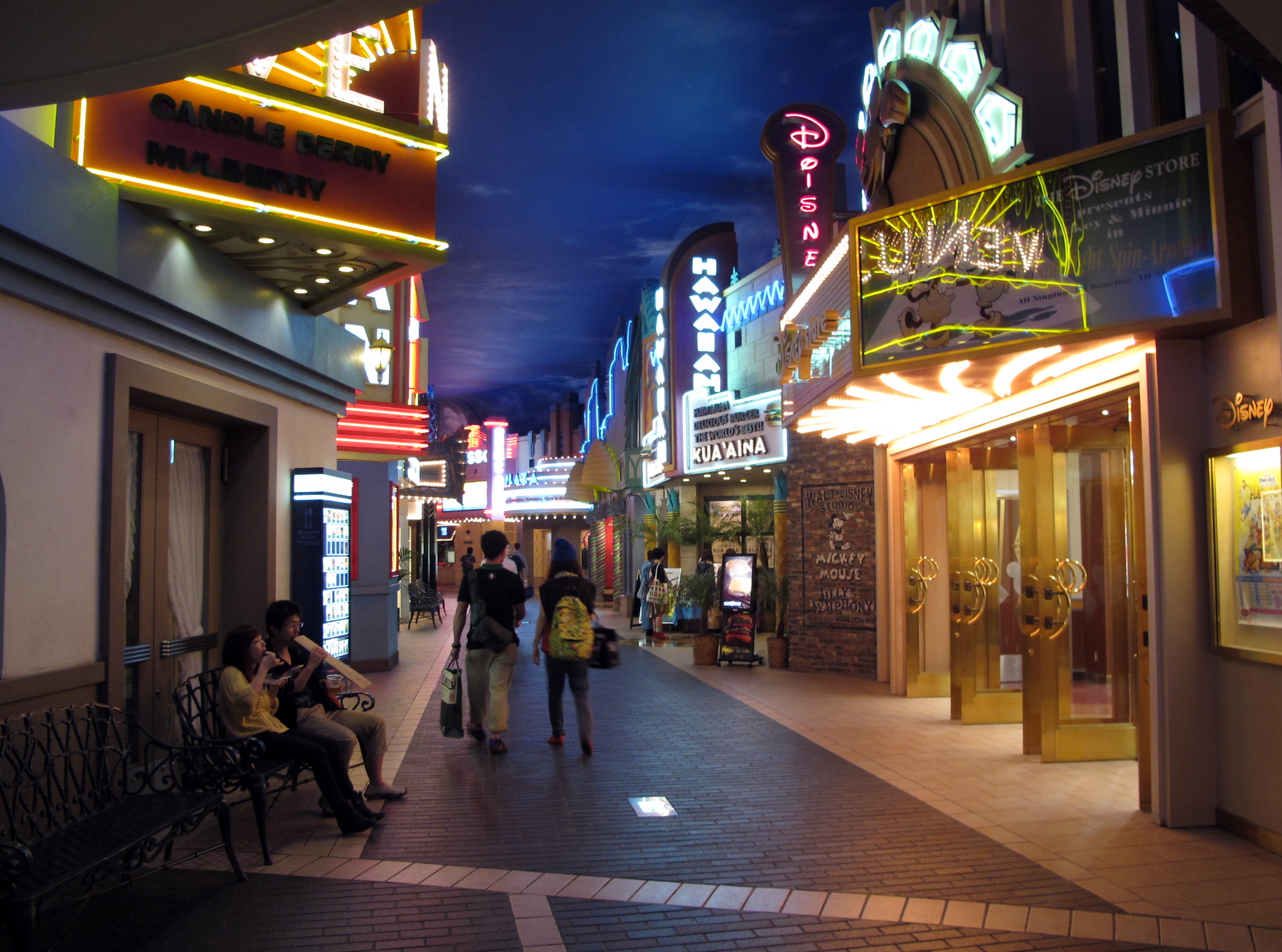
The (local nickname ''TDR'') is a theme park and vacation resort located in Urayasu, Chiba, Japan, just east of Tokyo. The resort is fully owned and operated by The Oriental Land Company under a licence from The Walt Disney Company, who constructed and designed the resort and its various attractions. The resort opened on April 15, 1983, as a single theme park (Tokyo Disneyland), later developing into a resort with a second theme park (Tokyo DisneySea), five Disney hotels, six non-Disney hotels and a shopping complex (Ikspiari). Tokyo Disneyland was the first Disney theme park to open outside the United States and the resort is the only Disney Parks resort in the world not owned or operated by The Walt Disney Company in any capacity. Attractions Tokyo Disney Resort consists of Tokyo Disneyland, Tokyo DisneySea, and Ikspiari, which is a variation of the Downtown Disney and Disney Springs shopping, dining, and entertainment areas found at the Disney resorts in Anaheim and Lake Bu ... [...More Info...] [...Related Items...] OR: [Wikipedia] [Google] [Baidu] |
Narita International Airport
Narita International Airport ( ja, 成田国際空港, Narita Kokusai Kūkō) , also known as Tokyo-Narita, formerly and originally known as , is one of two international airports serving the Greater Tokyo Area, the other one being Haneda Airport (HND). It is about east of central Tokyo in Narita, Chiba. The conceptualization of Narita was highly controversial and remains so to the present-day, especially among local residents in the area. This has led to the Sanrizuka Struggle, stemming from the government's decision to construct the airport without consulting most residents in the area, as well as expropriating their lands in the process. Even after the airport was eventually completed, air traffic movements have been controlled under various noise related operating restrictions due to its direct proximity with residential neighborhoods, including a house with a farm that is located right in between the runways. As a result, the airport must be closed from 00:00 (12:00am) to 0 ... [...More Info...] [...Related Items...] OR: [Wikipedia] [Google] [Baidu] |
Keisei Ueno Station
is a railway station in Taitō, Tokyo, Japan, operated by the private railway operator Keisei Electric Railway. It is the terminus of the Keisei Main Line and is a short distance from JR Ueno Station. Layout The station is underground beneath Ueno Park. The layout consists of four bay platforms which serve four tracks. Platforms Keisei-Ueno-STA Gate.jpg, The ticket barriers in August 2021 Keisei-Ueno-STA Home1-2.jpg, Platforms 1 and 2 in July 2021 Keisei-Ueno-STA-Home2020.jpg, Platforms 3 and 4 in October 2020 History The station opened on 10 October 1933 as . It was renamed Keisei Ueno Station on 1 May 1953. Passenger statistics In fiscal 2015, the station was used by an average of 44,814 passengers daily. Surrounding area * Ueno Station (JR Lines, Ginza Line, and Hibiya Line) * Ueno Park * Ueno Zoo * Tokyo National Museum * National Museum of Nature and Science * National Museum of Western Art * Tokyo Metropolitan Art Museum * Tokyo Research Institute for Cultur ... [...More Info...] [...Related Items...] OR: [Wikipedia] [Google] [Baidu] |
Skyliner
The is an airport limited express train service between Tokyo and Narita Airport in Japan. It is operated by Keisei Electric Railway and runs on the Narita Sky Access route. This article also covers the and services. Service The ''Skyliner'' limited express service operates between Keisei Ueno Station and Narita Airport Terminal 1 Station, with stops at Nippori Station and Narita Airport Terminal 2·3 Station. Certain trains also stop at Aoto Station. The one-way ride between Nippori and Narita Airport Terminal 2·3 takes about 36 minutes and costs ¥2,520 in 2019, making it the fastest and cheapest limited express train option between the airport and downtown Tokyo. The main competitor for the ''Skyliner'' is JR East's ''Narita Express''. Station stops ;Legend * ● : All trains stop * △ : Some trains stop History 1972-2010 The ''Skyliners predecessor was the ''Kaiungō'' express service, which began operation non-stop from Keisei Ueno to Keisei Narita on May 1 ... [...More Info...] [...Related Items...] OR: [Wikipedia] [Google] [Baidu] |
Sakura, Chiba
is a city located in Chiba Prefecture, Japan. , the city had an estimated population of 173,740 in 78,483 households and a population density of 1700 people per km2. The total area of the city is . Geography Sakura is located in northeastern Chiba Prefecture on the Shimōsa Plateau. It is situated approximately 40 kilometers northeast of Tokyo and 15 kilometers from Narita International Airport. Chiba City, the prefectural capital, lies 15 kilometers southwest of Sakura. Lake Inba forms the northern city limits. Neighboring municipalities Chiba Prefecture *Hanamigawa-ku, Chiba *Wakaba-ku, Chiba *Yotsukaidō * Yachiyo * Inzai * Yachimata *Shisui Climate Sakura has a humid subtropical climate (Köppen ''Cfa'') characterized by warm summers and cool winters with light to no snowfall. The average annual temperature in Sakura is . The average annual rainfall is with October as the wettest month. The temperatures are highest on average in August, at around , and lowest in January, ... [...More Info...] [...Related Items...] OR: [Wikipedia] [Google] [Baidu] |
Yachiyo, Chiba
270px, Keisei Rose Gardens is a city located in Chiba Prefecture, Japan. , the city had an estimated population of 202,071 in 91,092 households and a population density of 3900 persons per km². The total area of the city is . Geography Yachiyo is located inland in northwestern Chiba Prefecture on the Shimōsa Plateau, about 13 kilometers from the prefectural capital at Chiba and 33 kilometers from central Tokyo. The Shin River, in length, flows through Yachiyo and forms the upper part of the Inba Discharge Channel. Pollution was once problematic along the river caused by phosphorus, potassium, and nitrogen draining from vegetable farms along the length of the river. A walking path was built by the city of Yachiyo, and features a pedestrian suspension bridge with an observation platform. Neighboring municipalities Chiba Prefecture *Hanamigawa-ku, Chiba *Sakura *Inzai *Shiroi *Narashino *Funabashi Climate Yachiyo has a Humid subtropical climate (Köppen ''Cfa'') characteriz ... [...More Info...] [...Related Items...] OR: [Wikipedia] [Google] [Baidu] |
Narashino, Chiba
is a city located in Chiba Prefecture, Japan. , the city had an estimated population of 175,292 in 81,985 households and a population density of 8400 persons per km². The total area of the city is Geography Narashino is located in far northwestern Chiba Prefecture, bordered by Tokyo Bay to the southwest, and the prefectural capital of Chiba to the east. It is approximately 20 to 30 kilometers from central Tokyo. The city is located on the Shimōsa Plateau and reclaimed land fill on Tokyo Bay, with a large difference in elevation from the inland area to the coastal area. Surrounding municipalities Chiba Prefecture *Chiba *Funabashi * Yachiyo Climate Narashino has a humid subtropical climate (Köppen ''Cfa'') characterized by warm summers and cool winters with light to no snowfall. The average annual temperature in Narashino is 15.4 °C. The average annual rainfall is 1410 mm with September as the wettest month. The temperatures are highest on average in August, at ... [...More Info...] [...Related Items...] OR: [Wikipedia] [Google] [Baidu] |
Funabashi, Chiba
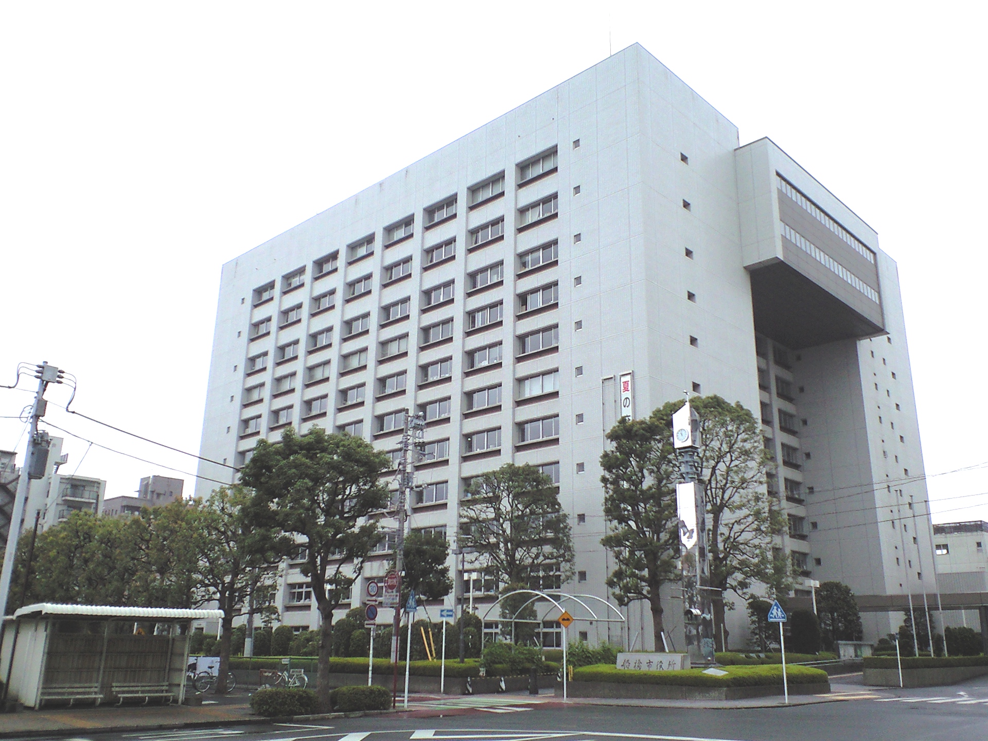
is a city located in Chiba Prefecture, Japan. , the city had an estimated population of 644,668 in 309,238 households and a population density of . The total area of the city is . It is the Greater Tokyo Area's 7th most populated city (after passing Kawaguchi, Hachioji and Chiba), and second largest in Chiba Prefecture. Geography Funabashi is located in northwestern Chiba Prefecture approximately 20 kilometers in either direction from the prefectural capital at Chiba and downtown Tokyo. The central area forms a flat diluvial upland of the Shimōsa Plateau. The city sits at an elevation of 20 to 30 meters above sea level, and is relatively flat. The highest point is 32.3 meters in Narashino 3-chome, and the lowest point is 0.2 meters in Minatomachi 1-chome. Funabashi is crossed by the Tone River, and the small Ebi River is located entirely within city limits. Funabashi formerly had wide, shallow beaches, but much of the coast has been industrialized and transformed by reclaimed ... [...More Info...] [...Related Items...] OR: [Wikipedia] [Google] [Baidu] |
Kanji
are the logographic Chinese characters taken from the Chinese family of scripts, Chinese script and used in the writing of Japanese language, Japanese. They were made a major part of the Japanese writing system during the time of Old Japanese and are still used, along with the subsequently-derived syllabic scripts of ''hiragana'' and ''katakana''. The characters have Japanese pronunciation, pronunciations; most have two, with one based on the Chinese sound. A few characters were invented in Japan by constructing character components derived from other Chinese characters. After World War II, Japan made its own efforts to simplify the characters, now known as shinjitai, by a process similar to China's simplified Chinese characters, simplification efforts, with the intention to increase literacy among the common folk. Since the 1920s, the Japanese government has published character lists periodically to help direct the education of its citizenry through the myriad Chinese characte ... [...More Info...] [...Related Items...] OR: [Wikipedia] [Google] [Baidu] |
Narita, Chiba
is a city in Chiba Prefecture, Japan. , the city had an estimated population of 131,852 in 63,098 households and a population density of 620 persons per km². The total area of the city is . It is the site of Narita International Airport, one of the two main international airports serving the Greater Tokyo Area. Geography Narita is located in the northern center of Chiba prefecture, about from the prefectural capital at Chiba and from the center of Tokyo. Narita International Airport is about further from the city center of Narita (the location of the city hall). Located on the Shimosa Plateau, the old town (centered on Narita-san) and the new town are in the southwestern part of the city, and Narita International Airport is in the hills in the southeast. Agricultural areas take water from the Tone River, which runs through the border between Imba-numa in the western part of the city and Ibaraki prefecture on the north. Most of the city is between above sea level. Surround ... [...More Info...] [...Related Items...] OR: [Wikipedia] [Google] [Baidu] |


