|
Keilor East, Victoria
Keilor East is a suburb in Melbourne, Victoria, Australia, north-west of Melbourne's Central Business District, located within the Cities of Brimbank and Moonee Valley local government areas. Keilor East recorded a population of 15,078 at the 2021 census. Keilor East is bounded in the west by the Maribyrnong River in the City of Brimbank, in the north by the Calder Freeway, in the east by Hoffmans Road, and in the south by Buckley Street, Steele Creek and Rosehill Road. History Keilor East Post Office opened on 1 July 1947. This was renamed Niddrie in 1956, and a new Keilor East office opened in November 1957. Lincolnville Post Office on McFarlane Street opened in 1964 and closed in 1988. Keilor East was previously located in the former City of Keilor, though now sits partially in the City of Brimbank (west of the Albion-Jacana railway line) and the remainder in the City of Moonee Valley (east of the Albion-Jacana railway line). Commerce Keilor East contains the Millear ... [...More Info...] [...Related Items...] OR: [Wikipedia] [Google] [Baidu] |
Electoral District Of Niddrie
The electoral district of Niddrie is a metropolitan electorate approximately northwest of Melbourne, Australia in Victoria (Australia), Victoria's Victorian Legislative Assembly, Legislative Assembly. The Niddrie District covers an area of , including the suburbs of Aberfeldie, Victoria, Aberfeldie, Airport West, Victoria, Airport West, Avondale Heights, Victoria, Avondale Heights, Essendon West, Victoria, Essendon West, Keilor, Victoria, Keilor, Keilor East, Victoria, Keilor East, Keilor Park, Victoria, Keilor Park and Niddrie, Victoria, Niddrie and parts of the suburbs of Essendon, Victoria, Essendon and Taylors Lakes, Victoria, Taylors Lakes. The district boundaries include Sharps Road for part of the north, Tullamarine Freeway and Roberts Street for parts of the east, Maribyrnong River in the south, and Sunshine Avenue for part of the west. It is part of the Upper House Western Metropolitan Region. Members for Niddrie Election results References External links ... [...More Info...] [...Related Items...] OR: [Wikipedia] [Google] [Baidu] |
2021 Australian Census
The 2021 Australian census, simply called the 2021 Census, was the eighteenth national Census of Population and Housing in Australia. The 2021 Census took place on 10 August 2021, and was conducted by the Australian Bureau of Statistics (ABS). The total population of the Commonwealth of Australia was counted as 25,422,788 – an increase of 8.6 per cent or 2,020,896 people over the previous 2016 census. Results from the 2021 census were released to the public on 28 June 2022 from the Australian Bureau of Statistics website. A small amount of additional 2021 census data will be released in October 2022 and in 2023. Australia's next census is scheduled to take place in 2026. Overview In Australia, completing the census is compulsory for all people in Australia on census night, only excluding foreign diplomats and their families. Census data is used to "help governments, businesses, not for profit and community organisations across the country make informed decisions", including ... [...More Info...] [...Related Items...] OR: [Wikipedia] [Google] [Baidu] |
Ryan Brothers Bus Service
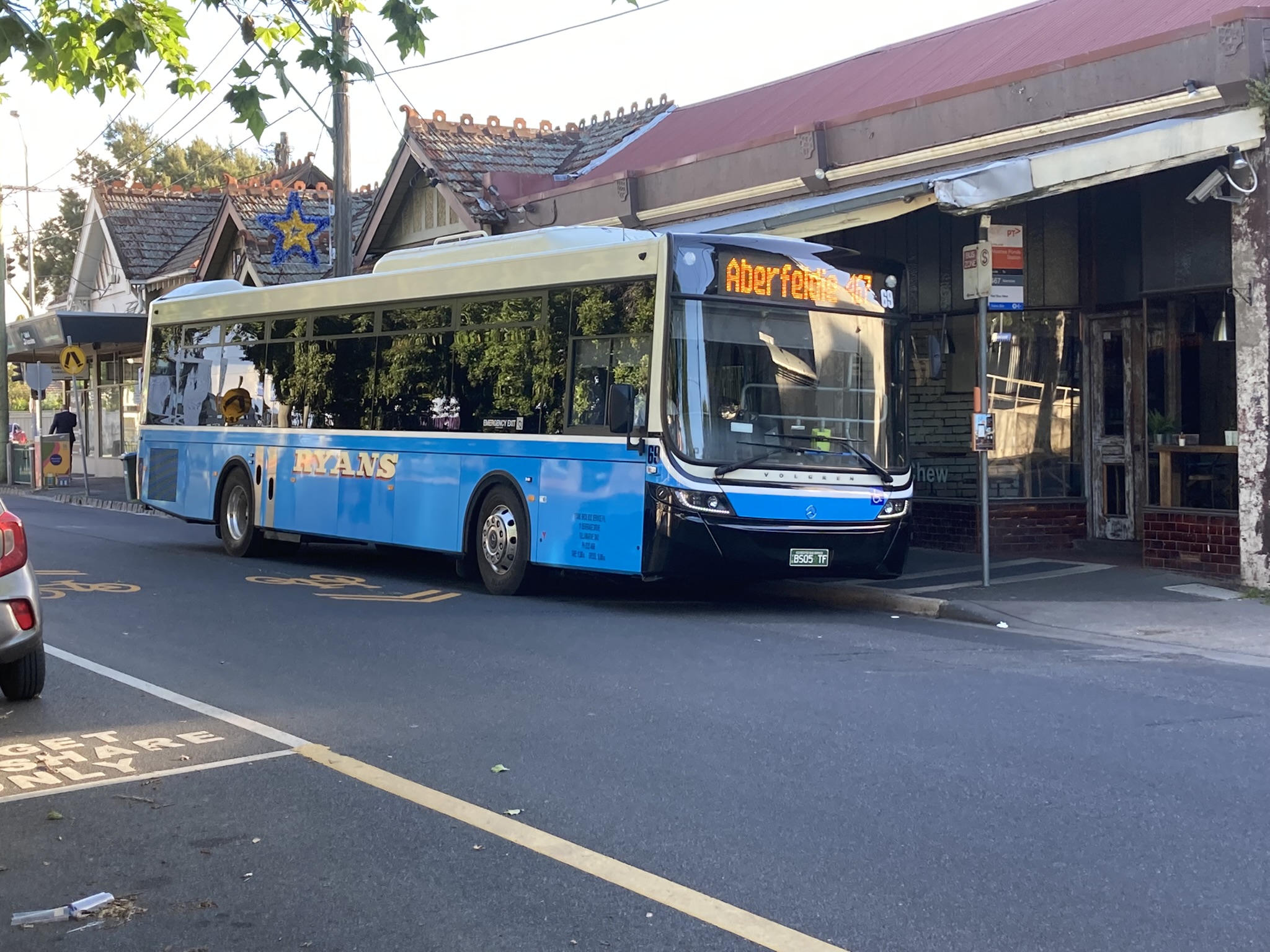
Ryan Brothers Bus Service is a bus operator in Melbourne, Australia. It operates three routes under contract to Public Transport Victoria Public Transport Victoria (PTV) is the brand name for public transport in the Australian state of Victoria, Australia, Victoria. It was the trading name of the Go Public Transport Development Authority (PTDA), a now-defunct statutory authorit .... History Ryan Brothers Bus Services was formed in 1947 when PJ Callaghan Motor Service was purchased with route 467. In January 1970 the business of G&E Hills was purchased, with route 465. Fleet As at July 2022, the fleet consisted of 29 buses and coaches. Australian Bus Fleet Lists The fleet livery is light blue with white signwriting. References External links [...More Info...] [...Related Items...] OR: [Wikipedia] [Google] [Baidu] |
Keilor Park
Keilor Park is a suburb in Melbourne, Victoria, Australia, north-west of Melbourne's Central Business District, located within the City of Brimbank local government area. Keilor Park recorded a population of 2,684 at the 2021 census. Keilor Park is bounded in the west by the Maribyrnong River, Tullamarine and Melbourne Airport in the north, in the east by Steele Creek and in the south by the Calder Highway. According to the 2001 ABS Census, 39% of the population is of Italian or Greek descent. The median age of the area is 37, though more of the population is below 35 or in their 50s. The most common sector of employment for men is manufacturing (25% of men) and for women retail (21% of women). The suburb contains the Keilor Botanic Gardens. Work force Keilor Park is the destination zone with the greatest number (6,384) of workers employs 9.6% of the local workers within the City of Brimbank. Demographics According to data from the 2016 census: Text was copied from this ... [...More Info...] [...Related Items...] OR: [Wikipedia] [Google] [Baidu] |
Essendon Railway Station
Essendon railway station is located on the Craigieburn line in Victoria, Australia. It serves the northern Melbourne suburb of Essendon, and it opened on 1 November 1860.Essendon Vicsig History Essendon opened as the terminus of the private line. The station closed with the line on 1 July 1864, but was reopened on 9 October 1871, under . The line to the north was opened in 1872, as part of the |
Avondale Heights
Avondale Heights is a suburb in Melbourne, Victoria, Australia, north-west of Melbourne's Central Business District, located within the City of Moonee Valley local government area. Avondale Heights recorded a population of 12,388 at the 2021 census. Avondale Heights is located on a plateau bounded by a large bend of the Maribyrnong River to the east, south, and west, and to the north by Buckley Street. The suburb derives its name from the ''Avondale Estate''. Originally known as ''Maribyrnong West'', when the Council undertook to change the name, postal authorities drew attention to the existence of Avondale in Queensland. The suburb was therefore called Avondale Heights to distinguish it from the Queensland town. Walter Burley Griffin and Marion Mahony Griffin prepared plans for part of the area: Milleara Estate in the north (also known as City View) in the 1920s. One objective of their design was to remake suburbia and society. They did this through creating internal garde ... [...More Info...] [...Related Items...] OR: [Wikipedia] [Google] [Baidu] |
Highpoint Shopping Centre
Highpoint Shopping Centre is a super regional shopping centre located in Maribyrnong, Victoria, in the western suburbs of Melbourne, Victoria. Highpoint is Victoria's third largest shopping centre and the fifth largest in Australia, with an annual turnover of $778 million and over 15 million shoppers visiting each year. It is the largest shopping centre serving Melbourne's western and north western suburbs, an area with a population of at least half a million people. History Highpoint is built on a hill which looks out over the Maribyrnong River to Melbourne's CBD, hence its name. An anti-aircraft battery operated on the site during World War II for protection of the surrounding military bases and ammunition works in Maidstone and Maribyrnong. The 50-acre site was previously a quarry, as can be seen by the quarry cliff face walls of the lower carparks. The land was sold by the City of Essendon for $1.85 million in April 1971, with permission required also from the City of S ... [...More Info...] [...Related Items...] OR: [Wikipedia] [Google] [Baidu] |
CDC Melbourne
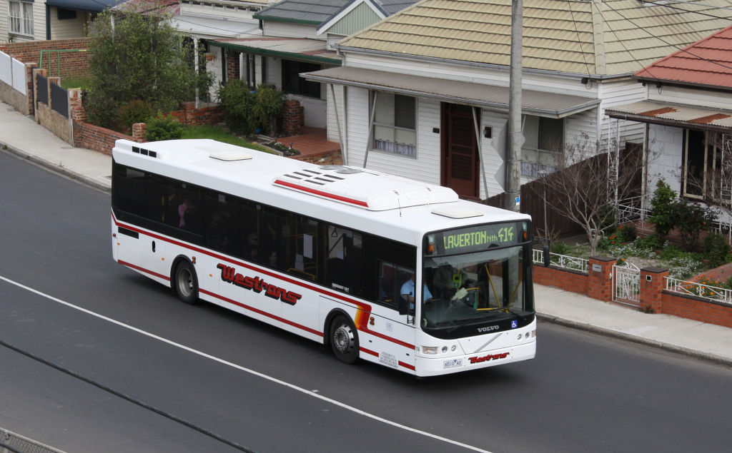
CDC Melbourne is a bus operator in Melbourne, Victoria, Australia. It operates 55 bus routes under contract to Public Transport Victoria. It is a subsidiary of ComfortDelGro Australia. As at 2018, CDC Melbourne was the third-largest commuter bus operator in Melbourne, with 16% of the market share in the city. History In February 2009, ComfortDelGro Cabcharge acquired Kefford Corporation including the Eastrans and Westrans operations in eastern and western Melbourne respectively. At the time of its acquisition by CDC in 2009, Kefford was the fourth-largest bus operator in Victoria with a 16% market share, and with a fleet of 328 buses and six depots. The Eastrans and Westrans brands were retained following the acquisition. In July 2011, Eastrans commenced route 601 as a high frequency shuttle between Huntingdale station and Monash University. In July 2013, CDC acquired the route operations of Driver Group with five routes (routes 612 and 623 - 626) and 42 buses, and integrat ... [...More Info...] [...Related Items...] OR: [Wikipedia] [Google] [Baidu] |
Footscray, Victoria
Footscray is an inner-city suburb in Melbourne, Victoria, Australia, west of Melbourne's Central Business District, located within the City of Maribyrnong local government area. Footscray recorded a population of 17,131 at the . Footscray is characterised by a very diverse, multicultural central shopping area, which reflects the successive waves of immigration experienced by Melbourne, and by Footscray in particular. Once a centre for Greek, Italian and former Yugoslavian migrants, it later became a hub for Vietnamese and East African immigrants in Melbourne. It has recently begun to undergo rapid development and gentrification, and '' Time Out'' magazine placed Footscray at 13th in its '50 Coolest Neighbourhoods in the World' for 2019, reflecting its evolving reputation, citing in particular its diverse array of international cuisine, bars and nightlife, as well as its arts scene. Footscray is named after Foots Cray, on the River Cray in London, England. History Footscra ... [...More Info...] [...Related Items...] OR: [Wikipedia] [Google] [Baidu] |
List Of Bus Routes In Melbourne
This is a list of bus routes that are part of the bus network, in Melbourne, Australia. Kinetic Melbourne operate approximately 30% of the bus network, signing contracts in 2021 as part of the Melbourne Metropolitan Bus Franchise. The remaining 70% of the network is operated under 23 contracts with other bus operators, all of these contracts were entered into in mid-2018 and will expire in 2025 or 2028. Route numbering scheme The route number of buses in Melbourne can tell a little about the route's operator, area served and even its history. Route numbering was a reflection of the designated zonal area used during the 1980s. Areas were referred to as "Neighbourhood Zones". However, as part of the "Grow or Go" policies, route numbers across the bus network were affected. There are no two-digit route numbers – these are used exclusively by trams. *150–199, 400–899: These routes are run by private companies. Most are found in the middle and outer suburbs, where they pr ... [...More Info...] [...Related Items...] OR: [Wikipedia] [Google] [Baidu] |
JB Hi-Fi
JB Hi-Fi Limited is an Australian consumer electronics and home appliances retail company. It is publicly listed on the Australian Securities Exchange. Its headquarters are located in Southbank, Melbourne, Victoria. The company has 316 stores across both countries, including 197 JB Hi-Fi and JB Hi-Fi Home stores in Australia, 105 Good Guys stores in Australia and 14 JB Hi-Fi stores in New Zealand. History 1974–1999 JB Hi-Fi was established in the Melbourne suburb of Keilor East by John Barbuto (JB) in 1974. Barbuto sold the business in 1983 to Richard Bouris, David Rodd and Peter Caserta, who expanded JB Hi-Fi into a chain of ten stores in Melbourne and Sydney turning over $150 million by 2000, when they sold the majority of their holding to private equity. It was subsequently floated on the ASX in October 2003. 2000–2009 In July 2004, JB Hi-Fi bought 70% of the Clive Anthonys chain in Queensland. On 13 December 2006, JB Hi-Fi acquired the Hill and Stewart chain ... [...More Info...] [...Related Items...] OR: [Wikipedia] [Google] [Baidu] |


_Scania_K230UB.jpg)
