|
Kandersteg
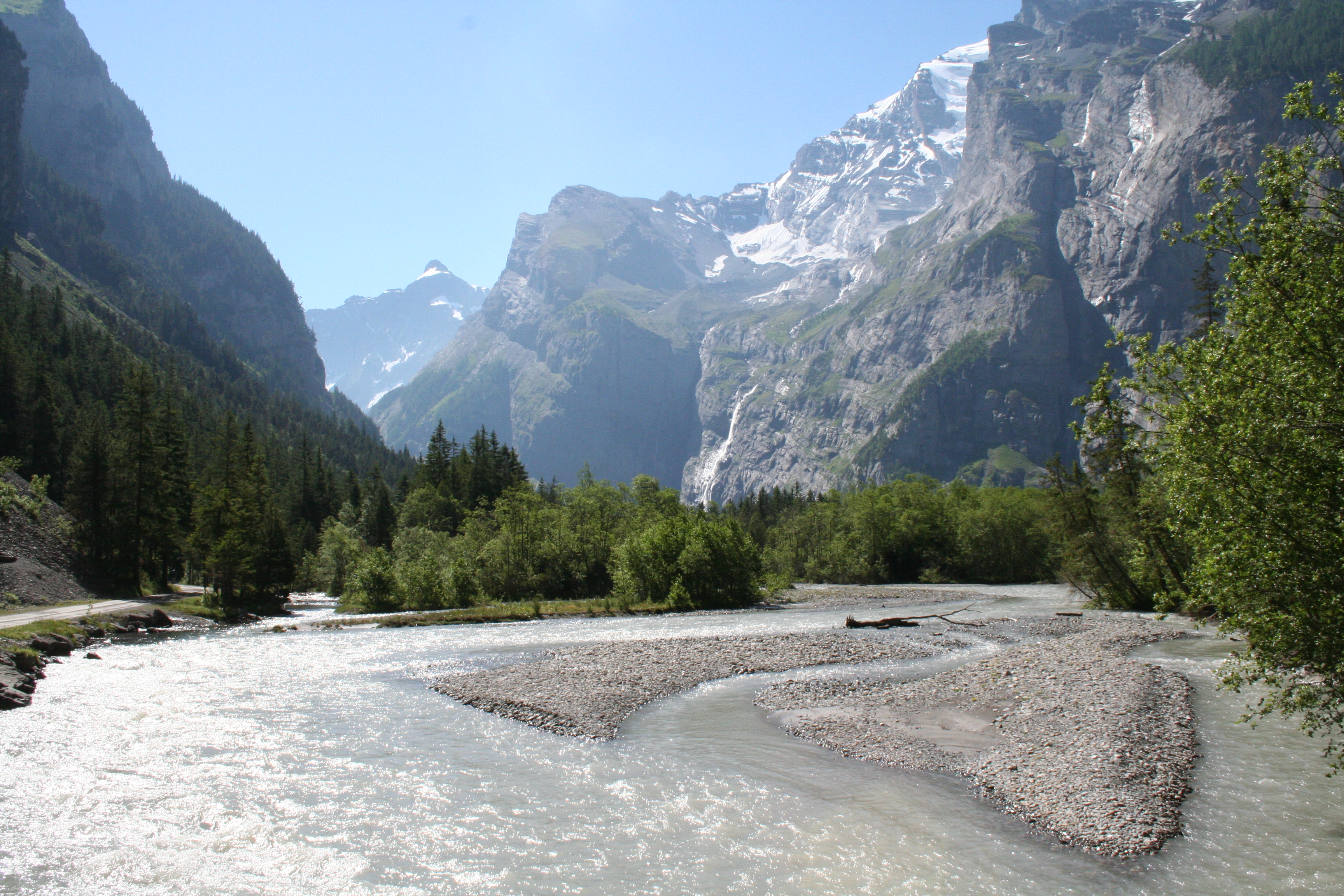
Kandersteg is a municipality in the Frutigen-Niedersimmental administrative district in the canton of Bern in Switzerland. It is located along the valley of the River Kander, west of the Jungfrau massif. It is noted for its spectacular mountain scenery and sylvan alpine landscapes. Tourism is a very significant part of its economic life today. It offers outdoor activities year-round, with hiking trails and mountain climbing as well as downhill and cross-country skiing. Kandersteg hosted the ski jumping and Nordic combined parts of the 2018 Nordic Junior World Ski Championships. History Kandersteg is first mentioned, together with Kandergrund, in 1352 as ''der Kandergrund''. Prehistorically the area was lightly settled. However, several late-neolithic or early Bronze Age bows have been found on the Lötschberg glaciers and a Bronze Age needle was found in the Golitschenalp. From the Roman era a bridge and part of a road were discovered in the village. Until 1909 Kandersteg ... [...More Info...] [...Related Items...] OR: [Wikipedia] [Google] [Baidu] |
Kandergrund
Kandergrund is a municipality in the Frutigen-Niedersimmental administrative district in the canton of Bern in Switzerland. History The area may have been lightly inhabited during the Bronze Age, however the earliest documented settlement was around the Castle (now ruins) Felsenburg. Kandergrund, together with Kandersteg, is first mentioned in 1352 as ''der Kandergrund''. During the Middle Ages, Kandergrund was politically and religiously part of Frutigen. In 1850, it was separated and became an independent municipality, consisting of Ausserrüteni, Innerrüteni, Kandergrund, Mitholz, Kandersteg and Gastern. In 1850 a church was built in Bunderbach, and ten years later that church became the parish church of Kandergrund parish. In 1909 Kandersteg separated from Kandergrund. The population grew dramatically during construction of the Lötschberg Tunnel and the Lötschberg railway line between 1906 and 1913. Geography Kandergrund has an area of . Of this area, or 32.8% is ... [...More Info...] [...Related Items...] OR: [Wikipedia] [Google] [Baidu] |

