|
Kamenka (Ob)
The Kamenka (russian: Каменка) is a small river in Novosibirsk Oblast, Russia. Its length is 25 km (16 mi), with a drainage basin of 130 square kilometres. The river rises in the swamp near Leninsky Settlement and runs southwest through the following settlements: Vitaminka, Sovetsky, Voskhod and Kamenka Village, then flows through the Dzerzhinsky, Tsentralny and Oktyabrsky city districts of Novosibirsk. Gallery File:Старый Новосибирск 2.jpeg File:Kamenka River, Novonikolayevsk 001.jpg File:Старый Новосибирск.jpeg File:Гора за рекой Каменкой.jpg File:Kamenka River 4.jpg See also * 2nd Yeltsovka River {{Infobox river , name = 2nd Yeltsovka , native_name ={{native name, ru, 2-я Ельцовка , name_other = , name_etymology = , image = 2-я Ельцовка, Новосибирск 11.jpg , ... * Yeltsovka River (lower tributary of Ob River) Referen ... [...More Info...] [...Related Items...] OR: [Wikipedia] [Google] [Baidu] |
Russia
Russia (, , ), or the Russian Federation, is a List of transcontinental countries, transcontinental country spanning Eastern Europe and North Asia, Northern Asia. It is the List of countries and dependencies by area, largest country in the world, with its internationally recognised territory covering , and encompassing one-eighth of Earth's inhabitable landmass. Russia extends across Time in Russia, eleven time zones and shares Borders of Russia, land boundaries with fourteen countries, more than List of countries and territories by land borders, any other country but China. It is the List of countries and dependencies by population, world's ninth-most populous country and List of European countries by population, Europe's most populous country, with a population of 146 million people. The country's capital and List of cities and towns in Russia by population, largest city is Moscow, the List of European cities by population within city limits, largest city entirely within E ... [...More Info...] [...Related Items...] OR: [Wikipedia] [Google] [Baidu] |
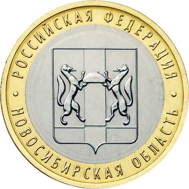
Novosibirsk Oblast
Novosibirsk Oblast (russian: Новосиби́рская о́бласть, ''Novosibirskaya oblast'') is a federal subject of Russia (an oblast) located in southwestern Siberia. Its administrative and economic center is the city of Novosibirsk. The population was 2,788,849 as of the 2018 Census. Geography Overview Novosibirsk Oblast is located in the south of the West Siberian Plain, at the foothills of low Salair ridge, between the Ob and Irtysh Rivers. The oblast borders Omsk Oblast in the west, Kazakhstan (Pavlodar Province) in the southwest, Tomsk Oblast in the north, Kemerovo Oblast in the east, and Altai Krai in the south. The territory of the oblast extends for more than from west to east, and for over from north to south. The oblast is mainly plain; in the south the steppes prevail; in the north enormous tracts of woodland with great number of marshes prevail. There are many lakes, the largest ones located at the south. The majority of the rivers belong to the ... [...More Info...] [...Related Items...] OR: [Wikipedia] [Google] [Baidu] |
Ob (river)
} The Ob ( rus, Обь, p=opʲ: Ob') is a major river in Russia. It is in western Siberia; and together with Irtysh forms the world's seventh-longest river system, at . It forms at the confluence of the Biya and Katun which have their origins in the Altai Mountains. It is the westernmost of the three great Siberian rivers that flow into the Arctic Ocean (the other two being the Yenisei and the Lena). Its flow is north-westward, then northward. The main city on its banks is Novosibirsk, the largest city in Siberia, and the third-largest city in Russia. It is where the Trans-Siberian Railway crosses the river. The Gulf of Ob is the world's longest estuary. Names The internationally known name of the river is based on the Russian name ''Обь'' (''Obʹ'' ). Possibly from Proto-Indo-Iranian '' *Hā́p-'', "river, water" (compare Vedic ''áp-'', Persian ''āb'', Tajik ''ob'', and Pashto ''obə'', "water"). Katz (1990) proposes Komi ''ob'' 'river' as the immediate source of deri ... [...More Info...] [...Related Items...] OR: [Wikipedia] [Google] [Baidu] |
Dzerzhinsky City District, Novosibirsk
Dzerzhinsky City District (russian: Дзержинский район) is an administrative district (raion), one of the 10 raions of Novosibirsk, Russia. The area of the district is 36,51 km2 (14.10 sq mi). Population: 174,360 (2018 Census). History In 1933, the Dzerzhinsky District was established. In 1980, part of the Dzerzhinsky City District became the Kalininsky City Distinct. Geography Bodies of water * Kamenka River Architecture Soviet architecture File:Проспект Дзержинского 1а, Новосибирск 001.jpg File:Проспект Дзержинского 7, Новосибирск 001.jpg File:Проспект Дзержинского 18, Новосибирск 001.jpg File:Dzerzhinsky Prospekt, Novosibirsk 3.jpg Parks Beryozovaya Roshcha Beryozovaya Roshcha is a park, established in 1963. Its area is 30 hectares. File:Берёзовая роща, парк 01.jpg File:Берёзовая роща, парк 08.jpg File:Берёзовая р� ... [...More Info...] [...Related Items...] OR: [Wikipedia] [Google] [Baidu] |
Tsentralny City District, Novosibirsk
Tsentralny District (russian: Центральный район) is an administrative district (raion) of Central Okrug, one of the 10 raions of Novosibirsk, Russia. The area of the district is 6.4 sq km (2.5 sq mi). Population: 78 794 (2017). History Tsentralny City District was established in 1940. Streets File:Красный проспект, Новосибирск 10.jpg, Krasny Avenue File:Serebrennikovskaya Street, Novosibirsk 01.jpg, Serebrennikovskaya Street File:Улица Депутатская (Новосибирск) 8.jpg, Deputatskaya Street File:Улица Фрунзе, Новосибирск 02.jpg, Frunze Street File:Улица Гоголя, Новосибирск 02.jpg, Gogol Street Architecture Imperial Russia File:Novosibirsk KrasnyPr Trade House 07-2016 img2.jpg, City Trade House File:Улица Потанинская 10а, Новосибирск 01.jpg File:Красный проспект 12, Новосибирск 02.jpg File:Дом купца П.� ... [...More Info...] [...Related Items...] OR: [Wikipedia] [Google] [Baidu] |
Oktyabrsky City District, Novosibirsk
Oktyabrsky City District is an administrative district (raion), one of the 10 raions of Novosibirsk, Russia. The area of the district is . Population: 225,879 (2017). History * 1929 – Zakamensky District was renamed the Oktyabrsky District. Streets File:Bolshevistskaya Street, Novosibirsk 1.jpg, Bolshevistskaya Street File:Sacco and Vanzetti Street, Novosibirsk 1.jpg, Sacco and Vanzetti Street File:Oktyabrsky District, Novosibirsk 1.jpg, 9th November Street Architecture Tsarist architecture File:Городское училище ул. Якушева, 21 Новосибирск 3.jpg, Yakushev Street, 1912 File:Здание по ул. Инская, 55 Новосибирск 2.jpg, Inskaya Street 55, 1908 File:Дом Терентьевых ул. Инская, 65 Новосибирск 2.jpg, House of Terentyevs Soviet architecture File:Chemical Engineering Technical School, Novosibirsk 1.jpg, Chemical Engineering Technical School, 1932 Post-soviet architecture File:Kla ... [...More Info...] [...Related Items...] OR: [Wikipedia] [Google] [Baidu] |
Novosibirsk
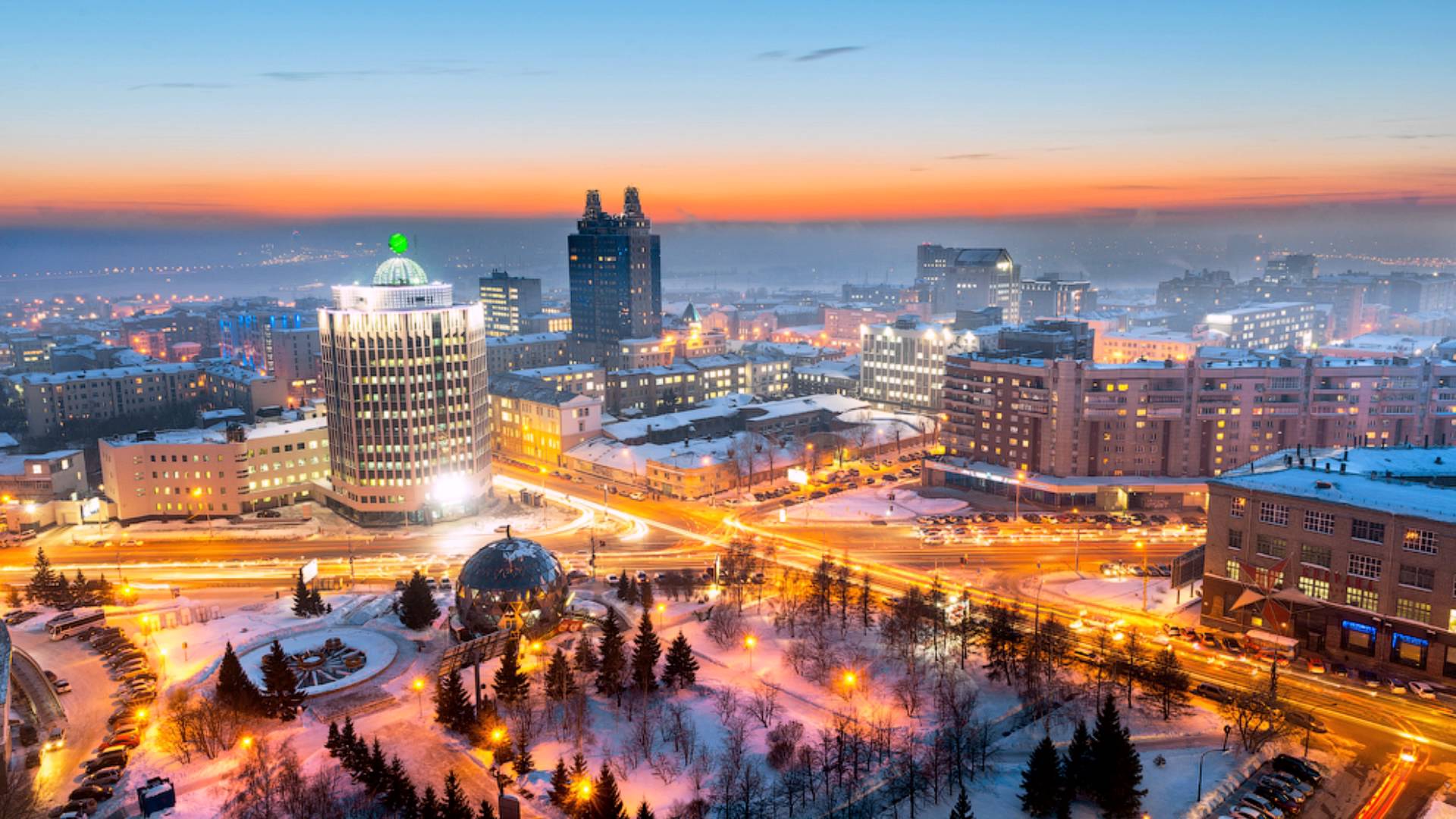
Novosibirsk (, also ; rus, Новосиби́рск, p=nəvəsʲɪˈbʲirsk, a=ru-Новосибирск.ogg) is the largest city and administrative centre of Novosibirsk Oblast and Siberian Federal District in Russia. As of the Russian Census (2021), 2021 Census, it had a population of 1,633,595, making it the most populous city in Siberia and the list of cities and towns in Russia by population, third-most populous city in Russia. The city is located in southwestern Siberia, on the banks of the Ob River. Novosibirsk was founded in 1893 on the Ob River crossing point of the future Trans-Siberian Railway, where the Novosibirsk Rail Bridge was constructed. Originally named Novonikolayevsk ("New Nicholas") in honor of Emperor Nicholas II, the city rapidly grew into a major transport, commercial, and industrial hub. Novosibirsk was ravaged by the Russian Civil War but recovered during the early Soviet Union, Soviet period and gained its present name, Novosibirsk ("New Siberia"), i ... [...More Info...] [...Related Items...] OR: [Wikipedia] [Google] [Baidu] |
2nd Yeltsovka River
{{Infobox river , name = 2nd Yeltsovka , native_name ={{native name, ru, 2-я Ельцовка , name_other = , name_etymology = , image = 2-я Ельцовка, Новосибирск 11.jpg , image_size = , image_caption = , map = , map_size = , map_caption = , pushpin_map = , pushpin_map_size = , pushpin_map_caption= , subdivision_type1 = Country , subdivision_name1 = Russia , subdivision_type2 = , subdivision_name2 = , subdivision_type3 = Region , subdivision_name3 = Novosibirsk Oblast , subdivision_type4 = , subdivision_name4 = , subdivision_type5 = , subdivision_name5 = , length = {{convert, 14, km, mi, abbr=on , width_min = , width_avg = , width_max = , depth_min = , depth_avg = , depth_max = , discharge1_location= , discharge1_min = , disch ... [...More Info...] [...Related Items...] OR: [Wikipedia] [Google] [Baidu] |
Yeltsovka River (lower Tributary Of Ob River)
The Yeltsovka is a small river in Novosibirsk Oblast, Russia. Its length is 14 km (9 mi). It is a right tributary of the Ob, south of the city of Novosibirsk Novosibirsk (, also ; rus, Новосиби́рск, p=nəvəsʲɪˈbʲirsk, a=ru-Новосибирск.ogg) is the largest city and administrative centre of Novosibirsk Oblast and Siberian Federal District in Russia. As of the Russian Census .... The tributaries are the Romikha, Kamyshevka and Dol rivers. Gallery File:Река Ельцовка 04.jpg File:Река Ельцовка 08.jpg File:Река Ельцовка 05.jpg File:Река Ельцовка 01.jpg File:Река Ельцовка 06.jpg See also * Izdrevaya River References External links "Hands off!": Residents of Nizhnyaya Yeltsovka staged a picket in front of the City Hall. NGS. «Руки прочь!»: жители Нижней Ельцовки устроили пикет напротив мэрии. НГС. Rivers of Novosibirsk R ... [...More Info...] [...Related Items...] OR: [Wikipedia] [Google] [Baidu] |
Rivers Of Novosibirsk
A river is a natural flowing watercourse, usually freshwater, flowing towards an ocean, sea, lake or another river. In some cases, a river flows into the ground and becomes dry at the end of its course without reaching another body of water. Small rivers can be referred to using names such as creek, brook, rivulet, and rill. There are no official definitions for the generic term river as applied to geographic features, although in some countries or communities a stream is defined by its size. Many names for small rivers are specific to geographic location; examples are "run" in some parts of the United States, "burn" in Scotland and northeast England, and "beck" in northern England. Sometimes a river is defined as being larger than a creek, but not always: the language is vague. Rivers are part of the water cycle. Water generally collects in a river from precipitation through a drainage basin from surface runoff and other sources such as groundwater recharge, springs, a ... [...More Info...] [...Related Items...] OR: [Wikipedia] [Google] [Baidu] |


