|
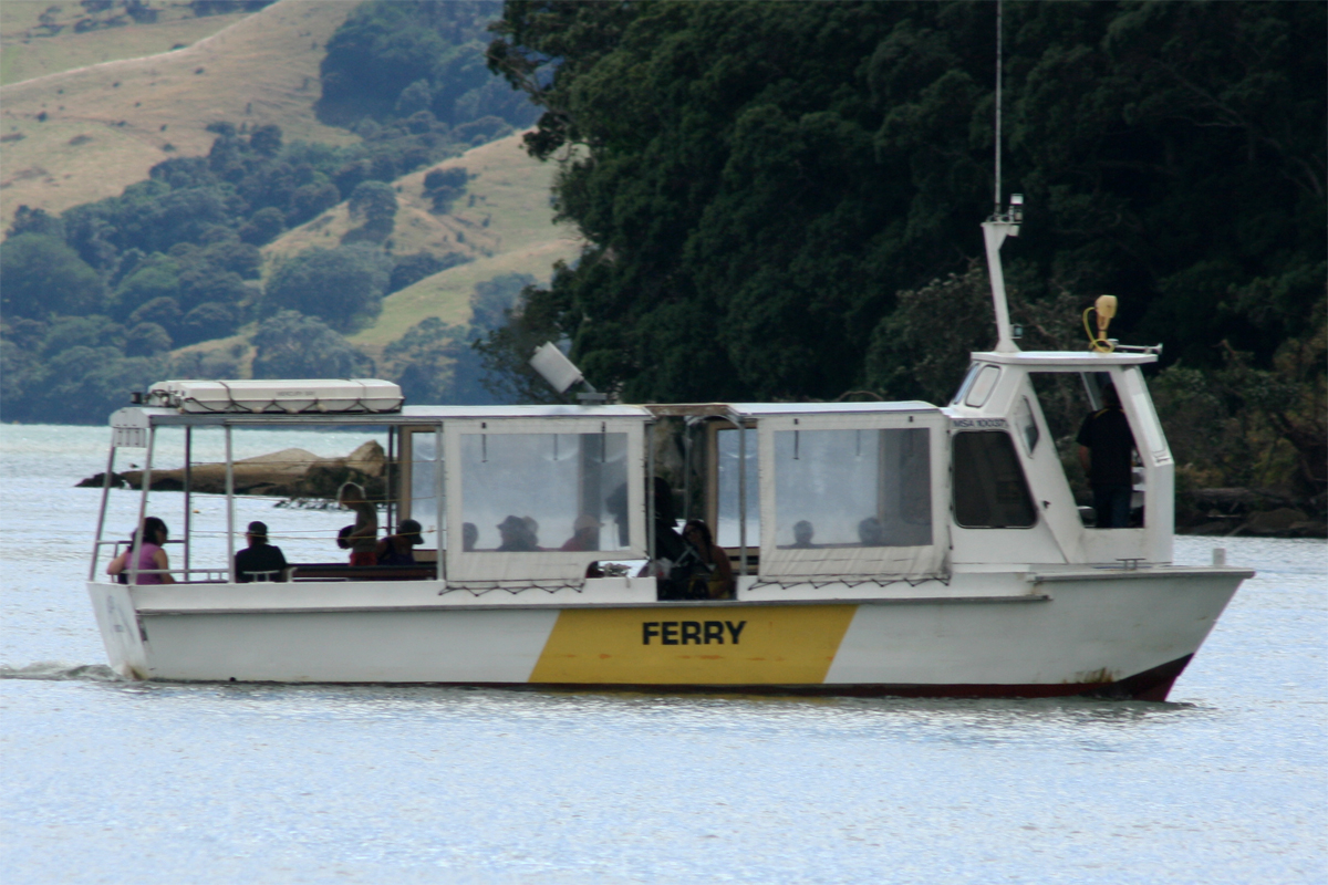
Kaimarama River
The Kaimarama River is a river of New Zealand's Coromandel Peninsula. It flows from its source within Coromandel Forest Park Coromandel Forest Park is a protected area and conservation park administered by the Department of Conservation, covering 71,899 hectares of the Coromandel Peninsula, in the Thames Coromandel District of the Waikato Region. It consists of hills ..., joining with the Mahakirau River to flow into Whitianga Harbour on the peninsula's east coast. See also * List of rivers of New Zealand References Thames-Coromandel District Rivers of Waikato Rivers of New Zealand {{Waikato-river-stub ... [...More Info...] [...Related Items...] OR: [Wikipedia] [Google] [Baidu] |
New Zealand
New Zealand ( mi, Aotearoa ) is an island country in the southwestern Pacific Ocean. It consists of two main landmasses—the North Island () and the South Island ()—and over 700 smaller islands. It is the sixth-largest island country by area, covering . New Zealand is about east of Australia across the Tasman Sea and south of the islands of New Caledonia, Fiji, and Tonga. The country's varied topography and sharp mountain peaks, including the Southern Alps, owe much to tectonic uplift and volcanic eruptions. New Zealand's capital city is Wellington, and its most populous city is Auckland. The islands of New Zealand were the last large habitable land to be settled by humans. Between about 1280 and 1350, Polynesians began to settle in the islands and then developed a distinctive Māori culture. In 1642, the Dutch explorer Abel Tasman became the first European to sight and record New Zealand. In 1840, representatives of the United Kingdom and Māori chiefs ... [...More Info...] [...Related Items...] OR: [Wikipedia] [Google] [Baidu] |
Coromandel Peninsula
The Coromandel Peninsula ( mi, Te Tara-O-Te-Ika-A-Māui) on the North Island of New Zealand extends north from the western end of the Bay of Plenty, forming a natural barrier protecting the Hauraki Gulf and the Firth of Thames in the west from the Pacific Ocean to the east. It is wide at its broadest point. Almost its entire population lives on the narrow coastal strips fronting the Hauraki Gulf and the Bay of Plenty. In clear weather the peninsula is clearly visible from Auckland, the country's biggest city, which lies on the far shore of the Hauraki Gulf, to the west. The peninsula is part of the Thames-Coromandel District of the Waikato region. Origin of the name The Māori name for the Coromandel comes from the Māori legend of Māui and the Fish, in which the demigod uses his hook to catch a great fish from the depths of te Moana-Nui-a-Kiwa (The Pacific Ocean). ''Te Tara-O-Te-Ika-A-Māui'' means 'The spine of Māui's fish'. The spine can be understood to be the C ... [...More Info...] [...Related Items...] OR: [Wikipedia] [Google] [Baidu] |
Coromandel Forest Park
Coromandel Forest Park is a protected area and conservation park administered by the Department of Conservation, covering 71,899 hectares of the Coromandel Peninsula, in the Thames Coromandel District of the Waikato Region. It consists of hills and valleys covered in dense native bush. One of the valleys, Kauaeranga Valley, also includes several swimming holes. The park borders the holiday resort town of Whangamatā. History Early history The forest park began as the Crosbies Settlement, an isolated group of five lots farmed by European settlers Thomas and Agnes Crosbie. The lots were only accessible by foot, horseback or horse-drawn sledge. The lots were sold to another family in 1917, who had abandoned by the land by 1926. Other attempts to farm the land were unsuccessful, and bush had reclaimed the cleared land by the 1960s. In 1970 and 1971, the lots were incorporated into the newly established Coromandel Forest Park. A remaining woolshed was used as a trampers' hut until ... [...More Info...] [...Related Items...] OR: [Wikipedia] [Google] [Baidu] |
Mahakirau River
The Mahakirau River is a river of the Coromandel Peninsula in New Zealand's North Island. It flows east from its source in the Coromandel Range, reaching the sea at Whitianga Harbour southwest of Whitianga Whitianga is a town on the Coromandel Peninsula, in the Waikato region of New Zealand's North Island. The town is located on Mercury Bay, on the northeastern coast of the peninsula. The town has a permanent population of as of making it the .... See also * List of rivers of New Zealand References * Thames-Coromandel District Rivers of Waikato Rivers of New Zealand {{Waikato-river-stub ... [...More Info...] [...Related Items...] OR: [Wikipedia] [Google] [Baidu] |
Whitianga Harbour
Whitianga is a town on the Coromandel Peninsula, in the Waikato region of New Zealand's North Island. The town is located on Mercury Bay, on the northeastern coast of the peninsula. The town has a permanent population of as of making it the second-largest town on the Coromandel Peninsula behind Thames. Demographics Whitianga covers and had an estimated population of as of with a population density of people per km2. Whitianga North had a population of 5,493 at the 2018 New Zealand census, an increase of 1,086 people (24.6%) since the 2013 census, and an increase of 1,689 people (44.4%) since the 2006 census. There were 2,271 households, comprising 2,691 males and 2,805 females, giving a sex ratio of 0.96 males per female, with 882 people (16.1%) aged under 15 years, 729 (13.3%) aged 15 to 29, 2,310 (42.1%) aged 30 to 64, and 1,575 (28.7%) aged 65 or older. Ethnicities were 90.3% European/Pākehā, 14.6% Māori, 2.1% Pacific peoples, 3.7% Asian, and 1.7% other ethn ... [...More Info...] [...Related Items...] OR: [Wikipedia] [Google] [Baidu] |

