|
Kabati
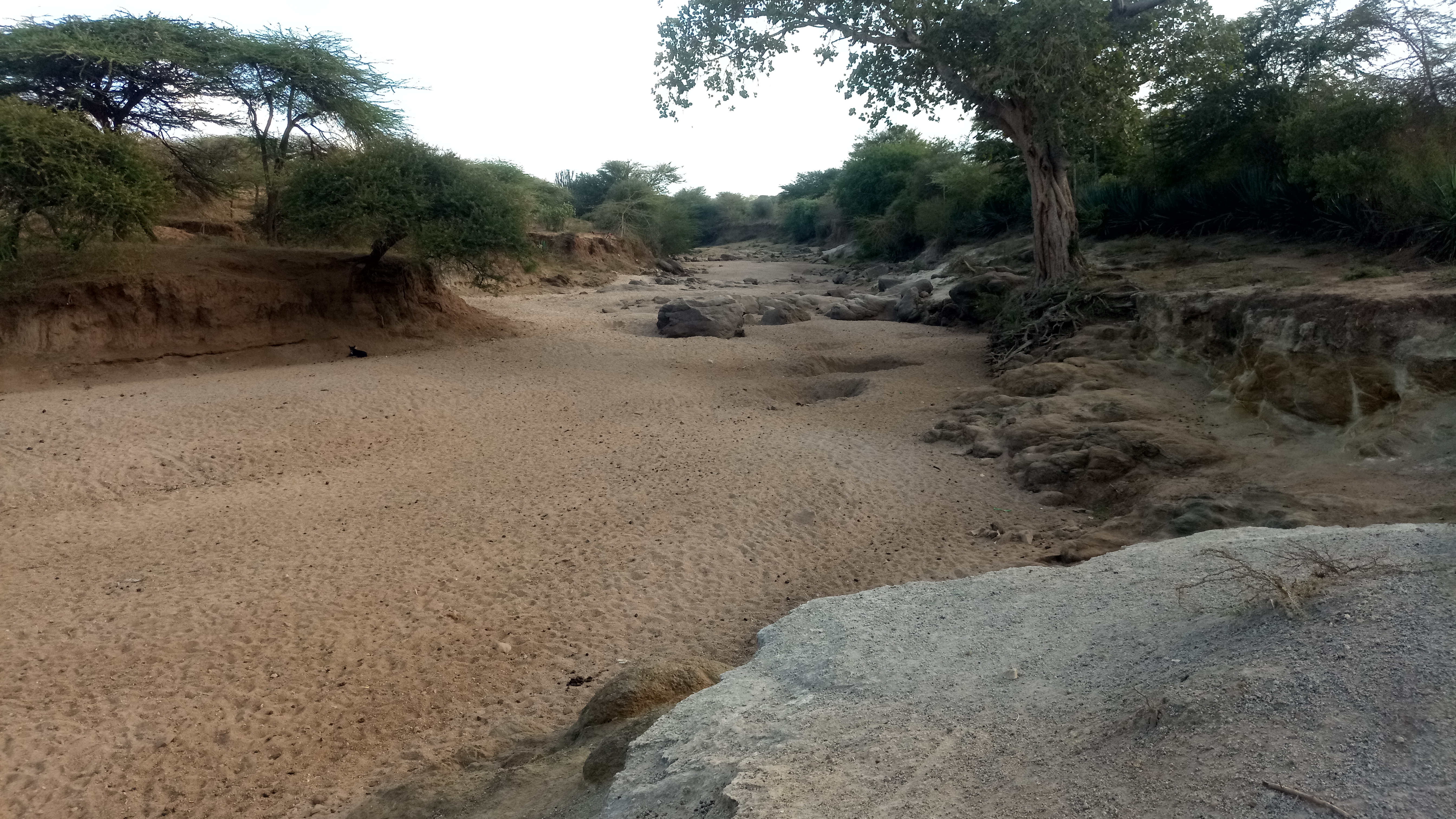
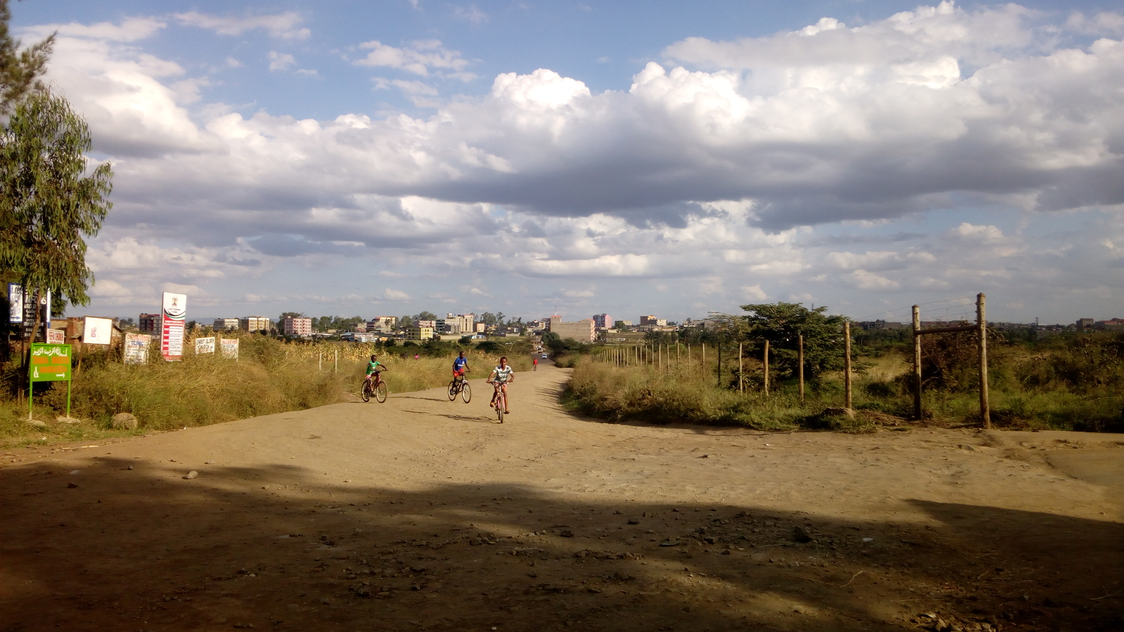
Kabati is a small town in Kenya's Central Province, between Thika and Makuyu. Namesake There is another town in Kitui County of this name. See also * Railway stations in Kenya * Ruiru Ruiru is a municipality and sub-county in Kiambu County. It sits within the greater Nairobi Metropolitan region. According to the 2019 national population census, Ruiru is the 6th largest urban center in Kenya by population.http://housingfinanc ... * Gichuru References Populated places in Central Province (Kenya) {{CentralKE-geo-stub ... [...More Info...] [...Related Items...] OR: [Wikipedia] [Google] [Baidu] |
Kitui County
Kitui County is a county in the former Eastern Province of Kenya. Its capital and largest town is Kitui, although Mwingi is also another major urban centre. The county has a population of 1,136,187 (2019 census). and an area of 30,430 km2. It lies between latitudes 0°10 South and 3°0 South and longitudes 37°50 East and 39°0 East. Kitui County shares its borders with seven counties; Tharaka-Nithi and Meru to the north, Embu to the northwest, Machakos and Makueni to the west, Tana River to the east and southeast, and Taita-Taveta to the south. History The name Kitui means 'a place where iron goods are made'. The Kamba iron-smiths who settled in the county many years before the colonial period are the ones who named the area Kitui. Demographics Kitui county has a total population of 1,136,187 of which 549,003 are males, 587,151 females and33 intersex persons. There are 262,942 household with an average household size of 4.3 persons per household and a population de ... [...More Info...] [...Related Items...] OR: [Wikipedia] [Google] [Baidu] |
Railway Stations In Kenya
Railway stations in Kenya include: Maps * UN Map * UNHCR Atlas Map * Prondis Map * Railway Gazette International June 2012, p31 * KRC Map Towns served by metre gauge railways * Mombasa - ocean port * Changamwe * Miritini * Mazeras * Mariakani * Maji ya Chumvi * Samburu, Kenya, Samburu * Taru, Kenya, Taru * Mackinnon Road * Mwanatibu * Buchuma * Wangala, Kenya, Wangala * Maungu * Ndara * Voi - junction ** Mwatate ** Bura, Taita-Taveta District, Kenya, Bura ** Mashoti ** Maktau ** Murka ** Ziwani ** Taveta, Kenya, Taveta - across Tanzania border from Moshi, Kilimanjaro, Moshi * Irima * Ndi * Manyani * Tsavo * Kyulu * Kenani * Kanga, Kenya, Kanga * Mtito Andei * Kathekani * Darajani * Ngwata * Masongaleni * Kikumbulyu * Kibwezi * Mbuinzau * Makindu * Ikoyo * Kiboko, Kenya, Kiboko * Simba, Kenya, Simba * Kabati * Emali * Nzai * Sultan Hamud * Kima, Kenya, Kima * Kalembwani * Kiu * Ulu, Kenya, Ulu * Konza, Kenya, Konza - junction for Magadi ** Kajiado ** Kenya Marble Quarry ** El ... [...More Info...] [...Related Items...] OR: [Wikipedia] [Google] [Baidu] |
Kenya
) , national_anthem = "Ee Mungu Nguvu Yetu"() , image_map = , map_caption = , image_map2 = , capital = Nairobi , coordinates = , largest_city = Nairobi , official_languages = Constitution (2009) Art. 7 ational, official and other languages"(1) The national language of the Republic is Swahili. (2) The official languages of the Republic are Swahili and English. (3) The State shall–-–- (a) promote and protect the diversity of language of the people of Kenya; and (b) promote the development and use of indigenous languages, Kenyan Sign language, Braille and other communication formats and technologies accessible to persons with disabilities." , languages_type = National language , languages = Swahili , ethnic_groups = , ethnic_groups_year = 2019 census , religion = , religion_year = 2019 census , demonym = ... [...More Info...] [...Related Items...] OR: [Wikipedia] [Google] [Baidu] |
Central Province (Kenya)
The Central Province ( sw, Kati, ) was a region in central Kenya until 2013, when Kenya's provinces were replaced by a system of counties. It covered an area of and was located to the north of Nairobi and west of Mount Kenya (''see maps''). The province had 4,383,743 inhabitants according to the 2009 census. The provincial headquarters was Nyeri. Central Province was the ancestral home of the Gikuyu people. Climate The climate of Central Province is generally cooler than that of the rest of Kenya, due to the region's higher altitude. Rainfall is fairly reliable, falling in two seasons, one from early March to May (the long rains) and a second during October and November (the short rains). General information Central Province is a key producer of coffee, one of Kenya's key exports. Much of Kenya's dairy industry is also based in this province. The provincial headquarters were in Nyeri. Central Province was divided into seven districts ( ''wilaya'at'') until 2007: [...More Info...] [...Related Items...] OR: [Wikipedia] [Google] [Baidu] |
East Africa Time
East Africa Time, or EAT, is a time zone used in eastern Africa. The time zone is three hours ahead of UTC ( UTC+03:00), which is the same as Moscow Time, Arabia Standard Time, Further-eastern European Time and Eastern European Summer Time. As this time zone is predominantly in the equatorial region, there is no significant change in day length throughout the year and so daylight saving time is not observed. East Africa Time is observed by the following countries: * * * * * * * * * See also *Moscow Time, an equivalent time zone covering Belarus, Turkey and most of European Russia, also at UTC+03:00 *Arabia Standard Time, an equivalent time zone covering Bahrain, Iraq, Kuwait, Qatar, Saudi Arabia and Yemen, also at UTC+03:00 *Eastern European Summer Time, an equivalent time zone covering European and Middle Eastern countries during daylight saving, also at UTC+03:00 *Israel Summer Time, an equivalent time zone covering the State of Israel during daylight saving, also at U ... [...More Info...] [...Related Items...] OR: [Wikipedia] [Google] [Baidu] |
Thika
Thika Thika (pronounced [ˈθika]) is an industrial town and a major commerce hub in Kiambu County, Kenya, lying on the A2 road 42 kilometres (26 mi) Northeast of Nairobi, near the confluence of the Thika and Chania Rivers. Although Thika town is administratively in Kiambu County, the greater area comprises residential areas such as Bendor estate, Maporomoko, Thika Greens, Thika Golden Pearl, Bahati Ridge, and Thika Sports Club, among others that are within Murang'a County. As of the 2019 National Census, Thika had a population of 279,429, which is growing rapidly, as is the greater Nairobi area. Its elevation is approximately 1,631 metres (5,351 ft). Thika is home to the Chania Falls, Fourteen Falls on the Athi River and the Thika Falls. Ol Donyo Sabuk National Park lies to the southeast. The town has a railway station with limited passenger service as only cargo trains operate, although there are plans to extend the proposed light rail system to Thika. The town was the headqua ... [...More Info...] [...Related Items...] OR: [Wikipedia] [Google] [Baidu] |
Makuyu
Makuyu or Kenol is a settlement in Kenya's Muranga County and is a city with a metropolitan. And is just at the border of Machakos County at the east, and near Kiambu County at the south. Makuyu is the home of Don Bosco Makuyu and Kakuzi, the Makuyu Education Initiative, as well as several other NGOs. Whilst Makuyu is much older and has been existence for many years, Kenol town is relatively new. The growth of Kenol town was primarily driven by two factors. 1. The establishment of government offices and 2. The rerouting of the Thika Murang'a road. From a small outskirt dusty town, Kenol has grown by leaps and bounds and is an attractive investment destination by small and mighty. Kenol town is a melting and convergence points for people travelling to Murang'a, Nyeri, Meru, Embu and Isiolo. With the setup of law courts in 2021 and building of a super highway that will extend to Marua, Kenol is bound to experience more growth. Makuyu was seriously affected by the 2011 East Africa d ... [...More Info...] [...Related Items...] OR: [Wikipedia] [Google] [Baidu] |
Ruiru
Ruiru is a municipality and sub-county in Kiambu County. It sits within the greater Nairobi Metropolitan region. According to the 2019 national population census, Ruiru is the 6th largest urban center in Kenya by population.http://housingfinanceafrica.org/app/uploads/VOLUME-II-KPHC-2019.pdf The name Ruiru is of the Kikuyu dialect and possibly relates to the black cotton soil that is found in most parts of Ruiru to the East and South. Location Ruiru is located about , by road, northeast of the central business district of Nairobi, the nation's capital city. The subcounty measures and is connected to Nairobi by both road and rail. The geographical co-ordinates of Ruiru are: 1°10'04.0"S, 36°58'24.0"E (Latitude: −1.167778; Longitude: 36.973333). The municipality sits at an average elevation of , above sea level. History This area was a sisal and coffee growing district with sisal on either side of the river to the right of the main road to Thika. As can be seen it is now a ho ... [...More Info...] [...Related Items...] OR: [Wikipedia] [Google] [Baidu] |
Gichuru
Gichuru is a settlement in Kiambu County, Kenya ) , national_anthem = "Ee Mungu Nguvu Yetu"() , image_map = , map_caption = , image_map2 = , capital = Nairobi , coordinates = , largest_city = Nairobi , .... References Populated places in Central Province (Kenya) Kiambu County {{CentralKE-geo-stub ... [...More Info...] [...Related Items...] OR: [Wikipedia] [Google] [Baidu] |


