|
Kirkhill (other)
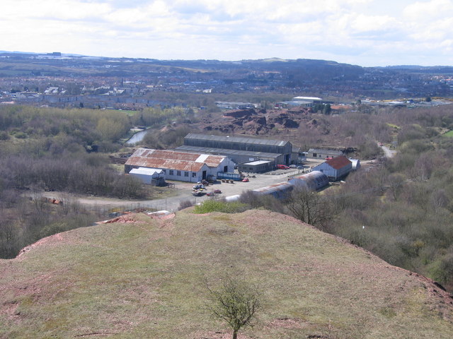
Kirkhill or Kirkhills may refer to a number of places. In Canada: * Kirkhill, Nova Scotia * Kirkhill, Ontario, an area of North Glengarry In Northern Ireland: * Kirkhills, a townland in County Antrim In Scotland: *Kirkhill industrial estate, near Dyce and Aberdeen Airport * Kirkhill, Angus, a location * Kirkhill, East Renfrewshire, a district of the town of Newton Mearns *Kirkhill, Highland, a village near Beauly in Inverness-shire * Kirkhill, West Lothian, an area of the town of Broxburn * Kirkhill, Midlothian, an area of the town of Penicuik * Kirkhill Pendicle, a hamlet near Maud, Aberdeenshire, with a weather station appearing on Met Office maps *Kirkhill, South Lanarkshire, an area of the town of Cambuslang **Kirkhill railway station , symbol_location = gb , symbol = rail , image = Kirkhill railway station, Lanarkshire (geograph 3916753).jpg , borough = Cambuslang, South Lanarkshire , country = Scotland , coordi ... [...More Info...] [...Related Items...] OR: [Wikipedia] [Google] [Baidu] |
Kirkhill, Nova Scotia
Kirkhill is a rural community in Cumberland County, Nova Scotia, northwest of Parrsboro Parrsboro is a community located in Cumberland County, Nova Scotia, Canada. A regional service centre for southern Cumberland County, the community is also known for its port on the Minas Basin, the Ship's Company Theatre productions, and t ... on Route 209. It is reputed that the town's name derives from settler James Kirkpatrick, who settled on "Kirk's Hill" in 1812. A road equipment garage of the Nova Scotia Department of Transportation is located in Kirkhill. References Communities in Cumberland County, Nova Scotia {{CumberlandNS-geo-stub ... [...More Info...] [...Related Items...] OR: [Wikipedia] [Google] [Baidu] |
Kirkhill, Ontario
North Glengarry is a township in eastern Ontario, Canada, in the United Counties of Stormont, Dundas and Glengarry. It is a predominantly elderly invaded rural area located between Ottawa- Gatineau, Montreal and Cornwall. Communities The township of North Glengarry comprises a number of villages and hamlets, including the following communities: * Kenyon Township: Apple Hill, Dominionville, Dunvegan, Greenfield, Maxville (population 853); ''Athol'', ''Baltic Corners'', ''Dornie'', ''Fiskes Corners'', ''Fassifern'', ''Guaytown'', ''Laggan'', ''McCrimmon'', ''St. Elmo'', ''Stewarts Glen''; ''Fairview'', ''Skye'' * Lochiel Township: Alexandria (population 3,287), Dalkeith, Glen Robertson, Glen Sandfield, Lochiel; ''Breadalbane'', ''Brodie'', ''Kirkhill'', ''Lochinvar'', ''Lorne'', ''McCormick'', ''Pine Grove'' The township administrative offices are located in Alexandria. Alexandria is served five or six times a day by the Montreal-Ottawa Via Rail trains which almost all stop at A ... [...More Info...] [...Related Items...] OR: [Wikipedia] [Google] [Baidu] |
Dyce
Dyce ( gd, Deis) is a suburb of Aberdeen, Scotland, situated on the River Don about northwest of the city centre. It is best known as the location of Aberdeen Airport. History Dyce is the site of an early medieval church dedicated to the 8th century missionary and bishop Saint Fergus, otherwise associated with Glamis, Angus. Today the cemetery, north of the airport, and overlooking the River Don, hosts the roofless but otherwise virtually complete former St Fergus Chapel, within which Pictish and early Christian stones from the 7th–9th centuries, found in or around the churchyard, are displayed (Historic Scotland; open at all times without entrance charge). The Chapel is a unicameral late medieval building with alterations perhaps of the 17th or 18th century. Two further carved stones, of uncertain (though probably early) character, were discovered re-used as building rubble in the inner east gable and outer south wall during the chapel's restoration. They were left ''in ... [...More Info...] [...Related Items...] OR: [Wikipedia] [Google] [Baidu] |
Aberdeen Airport
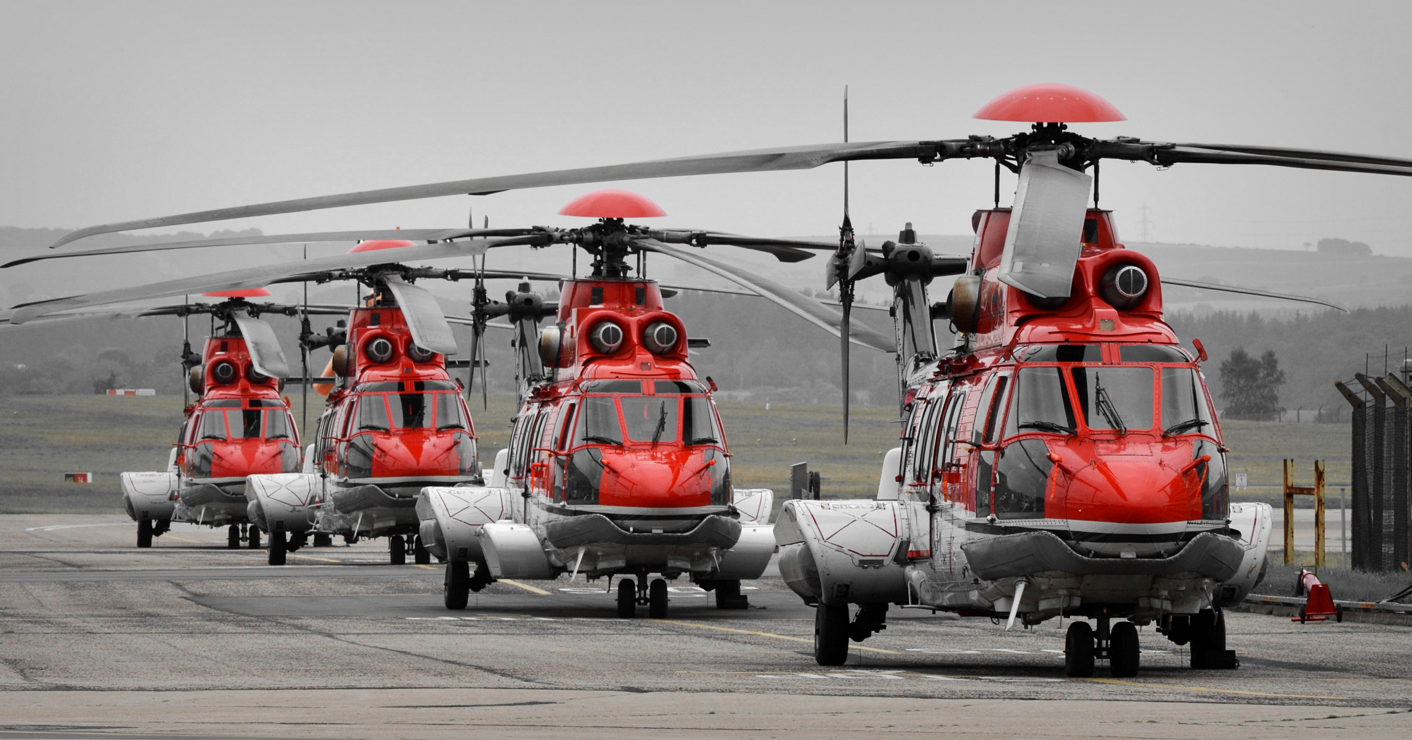
Aberdeen International Airport ( gd, Port-adhair Eadar-nà iseanta Obar Dheathain) is an international airport, located in the Dyce suburb of Aberdeen, Scotland, approximately northwest of Aberdeen city centre. A total of just under 3.1 million passengers used the airport in 2017, an increase of 4.6% compared with 2016. The airport is owned and operated by AGS Airports which also owns and operates Glasgow and Southampton airports. It was previously owned and operated by Heathrow Airport Holdings (formerly known as BAA). Aberdeen Airport is a base for Eastern Airways and Loganair. The airport also serves as the main heliport for offshore North Sea oil and gas industry. With the utilisation of newer aircraft, helicopters can reach northernmost platforms on both the east and west of Shetland. The airport has one main passenger terminal, serving all scheduled and charter holiday flights. In addition, there are four terminals dedicated to North Sea helicopter operations, us ... [...More Info...] [...Related Items...] OR: [Wikipedia] [Google] [Baidu] |
Newton Mearns
Newton Mearns ( sco, The Mearns; gd, Baile Ùr na Maoirne ) is a suburban town and the largest settlement in East Renfrewshire, Scotland. It lies southwest of Glasgow City Centre on the main road to Ayrshire, above sea level. It has a population of approximately 26,993, stretching from Whitecraigs and Kirkhill in the northeast to Maidenhill in the southeast, to Westacres and Greenlaw in the west and Capelrig/Patterton in the northwest. It is part of the Greater Glasgow conurbation. Its name derives from being a new town of the Mearns (from Scottish Gaelic "a' Mhaoirne" meaning a stewartry). History Until the 20th century, the land around Newton Mearns was primarily agricultural. Ownership passed from the Pollocks (whose name is perpetuated in the nearby Glasgow housing estate of Pollok) to the Maxwells of Caerlaverock around 1300. It then passed to the Maxwells of Nether Pollok in 1648 and then the Stewarts of Blackhall in 1660. A new turnpike road from Eastwood Toll, n ... [...More Info...] [...Related Items...] OR: [Wikipedia] [Google] [Baidu] |
Kirkhill, Highland
Kirkhill (Scottish Gaelic: ''Cnoc Mhoire'', meaning "Big Hill") is a small village and civil parish in the Highland council area of Scotland. It is 10 miles (16 km) west of Inverness and 2 miles (3.2 km) southeast of Beauly, close to the south opening of the Beauly Firth. The village of Kirkhill encompasses the historic parish of Wardlaw to its north, the two areas merging in 1618. Kirkhill also has a village hall and primary school, Kirkhill Primary, with a catchment area including Inchmore, Lentran, Drumchardine, Cabrich, Bunchrew, Clunes and Newtonhill. Wardlaw Mausoleum Kirkhill is home to the Wardlaw Mausoleum, built in 1634 as the resting ground for the Frasers of Lovat and used by the family until the early 19th century. In the 1990s, the Wardlaw Mausoleum Trust was formed to repair the building, then in heavy disrepair. In 1722, the 11th Lord Lovat raised the roof of the mausoleum and constructed a tower overhead. After his execution for the part he played ... [...More Info...] [...Related Items...] OR: [Wikipedia] [Google] [Baidu] |
Broxburn
Broxburn ( gd, Srath Bhroc, IPA: ˆs̪ɾaˈvɾɔʰk is a town in West Lothian, Scotland, on the A89 road, from the West End of Edinburgh, from Edinburgh Airport and to the north of Livingston. Etymology The name Broxburn is a corruption of "brock's burn", brock being an old Scots name for a badger whether from the Gaelic ''broc'' or the Pictish/Welsh/Brythonic ''Broch'' and burn being a Scots word for a large stream or small river. The village was earlier known as Easter Strathbrock (Uphall was Wester Strathbrock) with Strath coming either from the Gaelic ''srath'' or the Pictish/Welsh/Brythonic ''ystrad'' meaning a river valley. History The village that later became Broxburn probably originated around 1350 when Margery le Cheyne inherited the eastern half of the Barony of Strathbrock (Easter Strathbrock) on the death of her father, Sir Reginald le Cheyne III. The hamlet that grew up around her residence was then called Eastertoun (eastern town) after the land on which it ... [...More Info...] [...Related Items...] OR: [Wikipedia] [Google] [Baidu] |


