|
Kingsland (NJT Station)
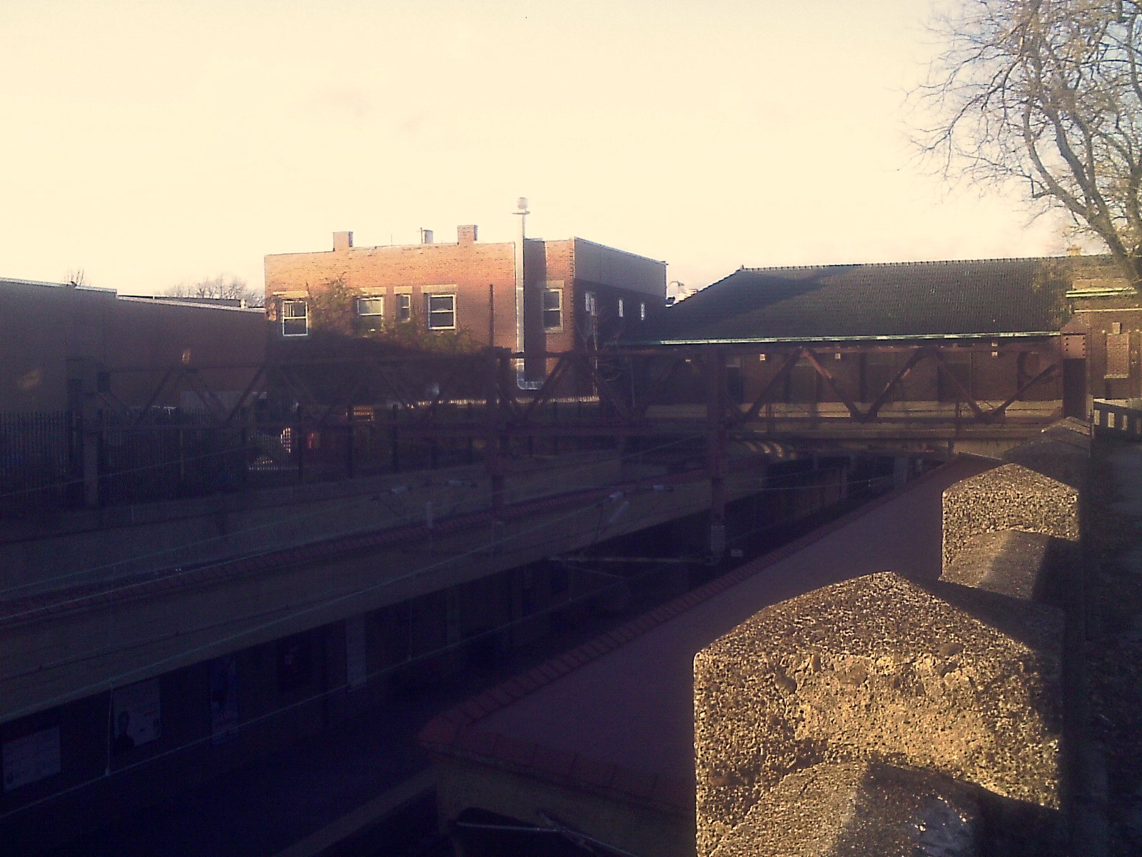
Kingsland is a railroad station on New Jersey Transit's Main Line. It is located under Ridge Road ( Route 17) between New York and Valley Brook Avenues in Lyndhurst, New Jersey, and is one of two stations in Lyndhurst. The station is not staffed, and passengers use ticket vending machines (TVMs) located at street level to purchase tickets. The station is not handicapped-accessible. Originally part of the Delaware, Lackawanna and Western Railroad's Boonton Branch, the current Kingsland station was built in 1918. History Delaware, Lackawanna and Western Railroad The Boonton Branch of the Delaware, Lackawanna and Western Railroad was first constructed as a freight bypass of the Morris & Essex Railroad in 1868. This was constructed due to the lack of freight along its passenger lines and stretched from the Denville station to Hoboken Terminal via Boonton and Paterson. The line had shops at Kingsland, built in 1868 for the purpose of repairing, restoring and re-erec ... [...More Info...] [...Related Items...] OR: [Wikipedia] [Google] [Baidu] |
New Jersey Route 17
Route 17 is a state highway in Bergen County, New Jersey, United States, that provides a major route from the George Washington Bridge, Lincoln Tunnel and other northeast New Jersey points to the New York State Thruway at Suffern, New York. It runs from an intersection with Route 7 and County Route 507 (CR 507) in North Arlington north to the New York border along Interstate 287 (I-287) in Mahwah, where New York State Route 17 (NY 17) continues into New York. Between Route 7 and Route 3 in Rutherford, Route 17 serves as a local road. From Route 3 north to the junction with U.S. Route 46 (US 46) in Hasbrouck Heights, the road is a suburban arterial with jughandles. The portion of Route 17 from US 46 to I-287 near the state line in Mahwah is a limited-access road with all cross traffic handled by interchanges, and many driveways and side streets accessed from right-in/right-out ramps from the right lan ... [...More Info...] [...Related Items...] OR: [Wikipedia] [Google] [Baidu] |
Watsessing Avenue (NJT Station)
Watsessing Avenue (also known as Watsessing) is a New Jersey Transit rail station in Bloomfield, New Jersey, along the Montclair-Boonton Line. It is located beneath the Bloomfield Police Benevolent Association meeting hall (which formerly served as the station building) near the corner of Watsessing Avenue and Orange Street in Bloomfield. It is one of two stations on the line where the boarding platform is below ground level (the Glen Ridge station, two stops away from it, is the other). The Watsessing station and the Kingsland station in Lyndhurst on the Main Line shared similar designs (both station platforms are located below street level) and were built about the same time. The current Glen Ridge, Bloomfield and Watsessing stations along the Montclair branch were all built in 1912 during a grade separation program by the Delaware, Lackawanna and Western Railroad. During New Jersey Transit's running of the line, two stations between Watsessing and Newark Broad Street were cl ... [...More Info...] [...Related Items...] OR: [Wikipedia] [Google] [Baidu] |
New Jersey Transit Rail Operations
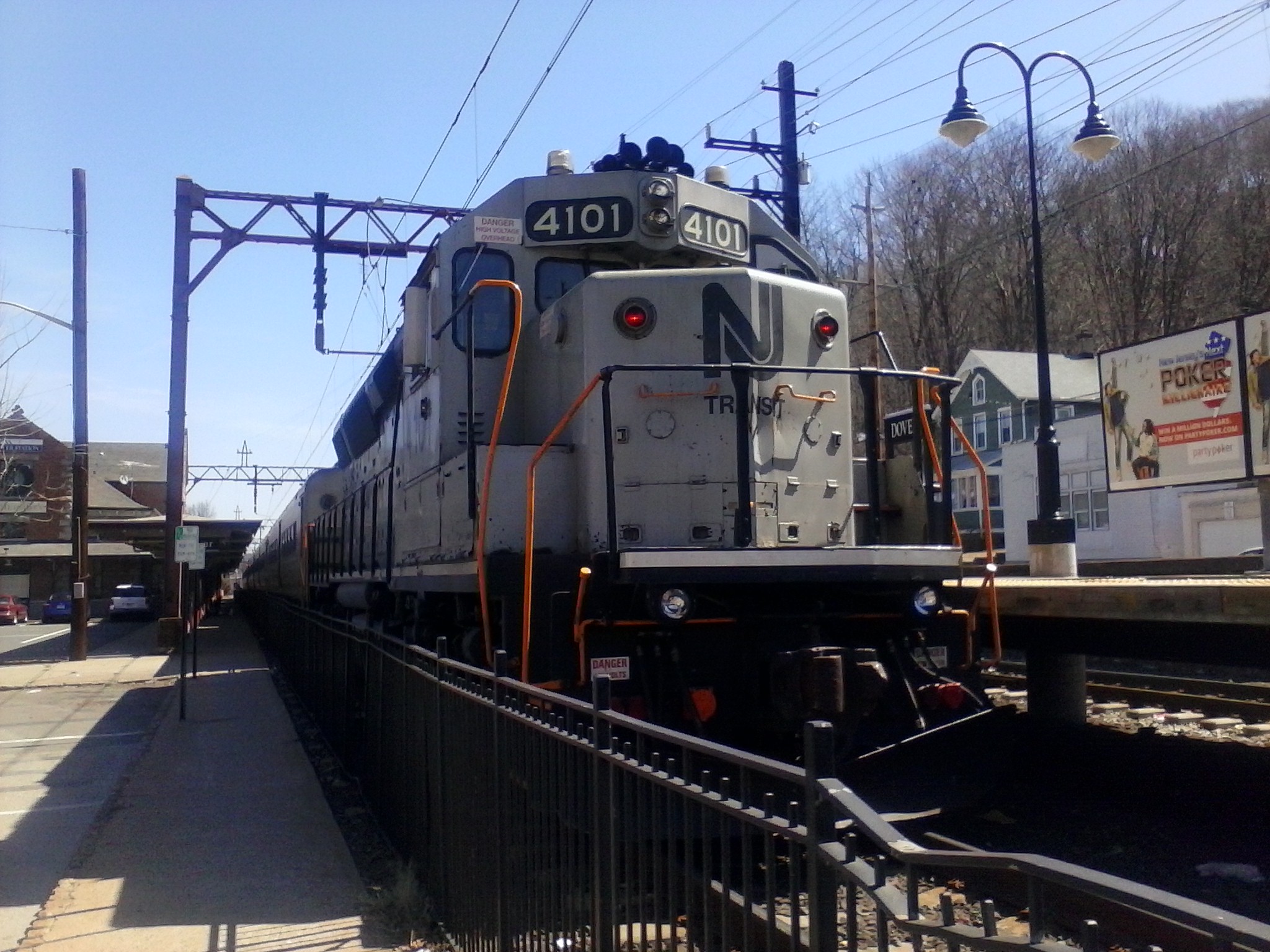
NJ Transit Rail Operations is the rail division of NJ Transit. It operates commuter rail service in New Jersey, with most service centered on transportation to and from New York City, Hoboken, and Newark. NJ Transit also operates rail service in Orange and Rockland counties in New York under contract to Metro-North Railroad. The commuter rail lines saw riders in , making it the second-busiest commuter railroad in North America as well as the longest by route length. This does not include NJ Transit's light rail operations. Network and infrastructure The lines operated by NJ Transit were formerly operated by the Pennsylvania Railroad, Central Railroad of New Jersey, New York and Long Branch Railroad and Erie Lackawanna Railroad, most of which date from the mid-19th century. From the 1960s onward, the New Jersey Department of Transportation began subsidizing the commuter lines. By 1976, the lines were all operated by Conrail under contract to NJDOT. The system took its curr ... [...More Info...] [...Related Items...] OR: [Wikipedia] [Google] [Baidu] |
Consolidated Rail Corporation
Conrail , formally the Consolidated Rail Corporation, was the primary Class I railroad in the Northeastern United States between 1976 and 1999. The trade name Conrail is a portmanteau based on the company's legal name. It continues to do business as an asset management and network services provider in three Shared Assets Areas that were excluded from the division of its operations during its acquisition by CSX Corporation and the Norfolk Southern Railway. The federal government created Conrail to take over the potentially-profitable lines of multiple bankrupt carriers, including the Penn Central Transportation Company and Erie Lackawanna Railway. After railroad regulations were lifted by the 4R Act and the Staggers Act, Conrail began to turn a profit in the 1980s and was privatized in 1987. The two remaining Class I railroads in the East, CSX Transportation and the Norfolk Southern Railway (NS), agreed in 1997 to acquire the system and split it into two roughly-equal parts ... [...More Info...] [...Related Items...] OR: [Wikipedia] [Google] [Baidu] |
Mountain View (NJT Station)
Mountain View, signed on the platform as Mountain View–Wayne, is a station on the Montclair-Boonton Line of NJ Transit in Wayne, New Jersey. Prior to the Montclair Connection in 2002, the station was served by the Boonton Line. The station is located on Erie Avenue, just off of US 202 and Route 23 in Downtown Wayne. Since January 2008, Mountain View station is the second of two stations in Wayne, the other being the Wayne Route 23 Transit Center, a station off the Westbelt interchange. History The Mountain View station was one of two stations in Wayne built on the New York and Greenwood Lake Railway, run by the Erie Railroad. The line ran from the Erie's Pavonia Terminal in Jersey City to Sterling Forest station on the New Jersey – New York state line. There was a second station constructed in Wayne, north of Mountain View at the Ryerson Avenue crossing. In 1935, train service was cut back to Wanaque–Midvale station in Wanaque, New Jersey. After the Erie Railroad a ... [...More Info...] [...Related Items...] OR: [Wikipedia] [Google] [Baidu] |
Passaic Park (Erie Railroad Station)
Passaic Park station (formerly known as Passaic Bridge) was a former railroad station for the Erie Railroad's main line in Passaic, New Jersey in the epomonyous section of the city. The station was located between the Carlton Hill station and the Prospect Street station. The station was the easternmost of four Erie stations that served the city of Passaic, being demolished in 1963 as part of the abandonment of the railroad line through Passaic and Clifton. Passaic Park station, originally opened as part of the Paterson and Ramapo Railroad, was reconstructed in 1888 as a wooden structure. The wooden station was the common design for station depots used by the Erie Railroad, designated Type IV. The station was replaced in 1923 with a Spanish tile roof station made of concrete and stone, after six years of litigation between the railroad and the city of Passaic. History The station at Passaic Park was first called Passaic Bridge, as the station was located immediately westward ... [...More Info...] [...Related Items...] OR: [Wikipedia] [Google] [Baidu] |
New Jersey Route 21
Route 21 is a state highway in northern New Jersey, running from the Newark Airport Interchange with U.S. Route 1/9 (US 1-9) and US 22 in Newark, Essex County to an interchange with US 46 in Clifton, Passaic County. The route is a four- to six-lane divided highway known as McCarter Highway on its southern portion in Newark that serves as a connector between the Newark and Paterson areas, following the west bank of the Passaic River for much of its length. It also serves as the main north–south highway through the central part of Newark, connecting attractions in Downtown Newark with Newark Airport. The portion of Route 21 through Newark is a surface arterial that runs alongside the elevated Northeast Corridor rail line through the southern part of the city and continues north through Downtown Newark while the portion north of Downtown Newark is a freeway. Route 21 intersects many major roads including Interstate 78 (I-78), Route 27, and I-280 in Newark, R ... [...More Info...] [...Related Items...] OR: [Wikipedia] [Google] [Baidu] |
Interstate 80 In New Jersey
Interstate 80 (I-80) is a major Interstate Highway in the United States, running from San Francisco, California, eastward to the New York metropolitan area. In New Jersey, I-80 runs for from the Delaware Water Gap Toll Bridge at the Pennsylvania state line to its eastern terminus at Interstate 95 in New Jersey, I-95 in Teaneck, New Jersey, Teaneck, Bergen County, New Jersey, Bergen County. I-95 continues from the end of I-80 to the George Washington Bridge for access to New York City. The highway runs parallel to U.S. Route 46, US Route 46 (US 46) through rural areas of Warren County, New Jersey, Warren and Sussex County, New Jersey, Sussex counties before heading into more suburban surroundings in Morris County, New Jersey, Morris County. As the road continues into Passaic County, New Jersey, Passaic and Bergen counties, it heads into more urban areas. The New Jersey Department of Transportation (NJDOT) identifies I-80 within the state as the Christopher Co ... [...More Info...] [...Related Items...] OR: [Wikipedia] [Google] [Baidu] |
New Jersey Department Of Transportation
The New Jersey Department of Transportation (NJDOT) is the agency responsible for transportation issues and policy in New Jersey, including maintaining and operating the state's highway and public road system, planning and developing transportation policy, and assisting with rail, freight, and intermodal transportation issues. It is headed by the Commissioner of Transportation. The present Commissioner is Diane Gutierrez-Scaccetti. History The agency that became NJDOT began as the New Jersey State Highway Department (NJSHD) circa 1920. NJDOT was established in 1966 as the first State transportation agency in the United States. The Transportation Act of 1966 (Chapter 301, Public Laws, 1966) established the NJDOT on December 12, 1966. Since the late 1970s, NJDOT has been phasing out or modifying many list of traffic circles in New Jersey, traffic circles in New Jersey. In 1979, with the establishment of New Jersey Transit, NJDOT's rail division, which funded and supported State-s ... [...More Info...] [...Related Items...] OR: [Wikipedia] [Google] [Baidu] |
Rutherford, New Jersey
Rutherford is a borough in Bergen County, New Jersey, United States. As of the 2020 United States Census, the borough's population was 18,834. Rutherford was formed as a borough by an act of the New Jersey Legislature on September 21, 1881, from portions of Union Township, based on the results of a referendum held on the previous day.Snyder, John P''The Story of New Jersey's Civil Boundaries: 1606-1968'' Bureau of Geology and Topography; Trenton, New Jersey; 1969. p. 86. Accessed February 2, 2012. The borough was named for John Rutherfurd, a U.S. Senator who owned land in the area. Rutherford has been called the "Borough of Trees" and "The First Borough of Bergen County", and is known as well for its pedestrian-focused downtown area adjacent to the borough's Bergen Line (New Jersey Transit) railway station. History The ridge above the New Jersey Meadowlands upon which Rutherford sits was settled by Lenape Native Americans long before the arrival of Walling Van Winkle in 1 ... [...More Info...] [...Related Items...] OR: [Wikipedia] [Google] [Baidu] |
Passaic, New Jersey
Passaic ( or ) is a city in Passaic County, in the U.S. state of New Jersey. As of the 2020 U.S. census, the city had a total population of 70,537, ranking as the 16th largest municipality in New Jersey and an increase of 656 from the 69,781 counted in the 2010 United States census.Table DP-1. Profile of General Demographic Characteristics: 2010 for Passaic city , . Accessed December 14, 2011. The |
Erie-Lackawanna Railway
The Erie Lackawanna Railway , known as the Erie Lackawanna Railroad until 1968, was formed from the 1960 merger of the Erie Railroad and the Delaware, Lackawanna & Western Railroad. The official motto of the line was "The Friendly Service Route". Like many railroads in the northeast already financially vulnerable from the expanding U.S. Interstate Highway System, the line was severely weakened fiscally by the extent, duration and record flood levels due to Hurricane Agnes in 1972. It would never recover. Most of the corporation's holdings became part of Conrail in 1976, ending its sixteen years as an independent operating railroad company. History Formation and early success The Interstate Commerce Commission approved the merger on Sept. 13, 1960, and on Oct. 17 the Erie Railroad and Delaware, Lackawanna and Western Railroad merged to form the Erie Lackawanna Railroad. The EL struggled for most of the 16 years it existed. The two railroads that created it were steadily losing ... [...More Info...] [...Related Items...] OR: [Wikipedia] [Google] [Baidu] |


