|
Karasuk (inhabited Locality)
Karasuk (russian: Карасук) is the name of several inhabited localities in Russia. ;Urban localities *Karasuk, Novosibirsk Oblast, a town in Karasuksky District, Novosibirsk Oblast ;Rural localities *Karasuk, Altai Krai, a '' selo'' in Kokshinsky Selsoviet of Sovetsky District of Altai Krai *Karasuk, Altai Republic, a ''selo'' in Kyzyl-Ozekskoye Rural Settlement of Mayminsky District of the Altai Republic *Karasuk, Republic of Khakassia, a village in Bolsheyerbinsky Selsoviet of Bogradsky District Bogradsky District (russian: Богра́дский райо́н; Khakas: , ''Bograd aymağı'') is an administrativeLaw #20 and municipalLaw #68 district (raion), one of the eight in the Republic of Khakassia, Russia. It is located in the northea ... of the Republic of Khakassia {{SIA, populated places in Russia ... [...More Info...] [...Related Items...] OR: [Wikipedia] [Google] [Baidu] |
Types Of Inhabited Localities In Russia
The classification system of inhabited localities in Russia and some other post-Soviet states has certain peculiarities compared with those in other countries. Classes During the Soviet time, each of the republics of the Soviet Union, including the Russian SFSR, had its own legislative documents dealing with classification of inhabited localities. After the dissolution of the Soviet Union, the task of developing and maintaining such classification in Russia was delegated to the federal subjects.Articles 71 and 72 of the Constitution of Russia do not name issues of the administrative and territorial structure among the tasks handled on the federal level or jointly with the governments of the federal subjects. As such, all federal subjects pass their own laws establishing the system of the administrative-territorial divisions on their territories. While currently there are certain peculiarities to classifications used in many federal subjects, they are all still largely ba ... [...More Info...] [...Related Items...] OR: [Wikipedia] [Google] [Baidu] |
Russia
Russia (, , ), or the Russian Federation, is a List of transcontinental countries, transcontinental country spanning Eastern Europe and North Asia, Northern Asia. It is the List of countries and dependencies by area, largest country in the world, with its internationally recognised territory covering , and encompassing one-eighth of Earth's inhabitable landmass. Russia extends across Time in Russia, eleven time zones and shares Borders of Russia, land boundaries with fourteen countries, more than List of countries and territories by land borders, any other country but China. It is the List of countries and dependencies by population, world's ninth-most populous country and List of European countries by population, Europe's most populous country, with a population of 146 million people. The country's capital and List of cities and towns in Russia by population, largest city is Moscow, the List of European cities by population within city limits, largest city entirely within E ... [...More Info...] [...Related Items...] OR: [Wikipedia] [Google] [Baidu] |
Karasuk, Novosibirsk Oblast
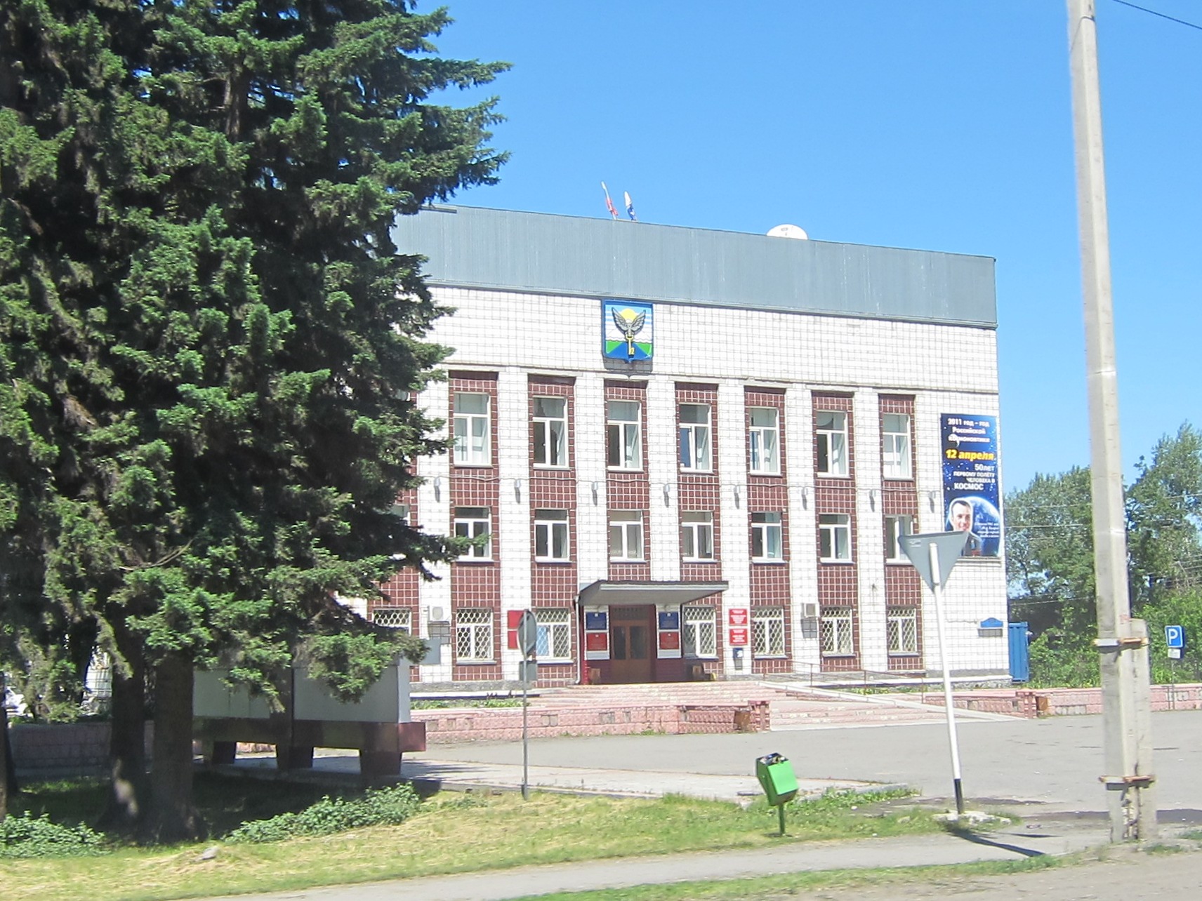
Karasuk (russian: Карасу́к; kk, Қарасуық, ''Qarasuyq'') is a town and the administrative center of Karasuksky District in Novosibirsk Oblast, Russia, located on the Karasuk River west of Novosibirsk, the administrative center of the oblast. Population: History It was founded in the late 18th century and was granted town status in 1954. Administrative and municipal status Within the framework of administrative divisions, Karasuk serves as the administrative center of Karasuksky District. As an administrative division, it is, together with the settlement of Yarok, incorporated within Karasuksky District as the Town A town is a human settlement. Towns are generally larger than villages and smaller than cities, though the criteria to distinguish between them vary considerably in different parts of the world. Origin and use The word "town" shares an ori ... of Karasuk. As a municipal division, the Town of Karasuk is incorporated within Karasuksky ... [...More Info...] [...Related Items...] OR: [Wikipedia] [Google] [Baidu] |
Karasuksky District
Karasuksky District (russian: Карасу́кский райо́н; kk, Қарасуық ауданы, ) is an administrative and municipalLaw #200-OZ district (raion), one of the thirty in Novosibirsk Oblast, Russia. It is located in the southwest of the oblast. The area of the district is . Its administrative center is the town A town is a human settlement. Towns are generally larger than villages and smaller than cities, though the criteria to distinguish between them vary considerably in different parts of the world. Origin and use The word "town" shares an ori ... of Karasuk. Population: 46,262 ( 2010 Census); The population of Karasuk accounts for 61.8% of the district's total population. References Notes Sources * {{Use mdy dates, date=August 2012 Districts of Novosibirsk Oblast ... [...More Info...] [...Related Items...] OR: [Wikipedia] [Google] [Baidu] |
Novosibirsk Oblast
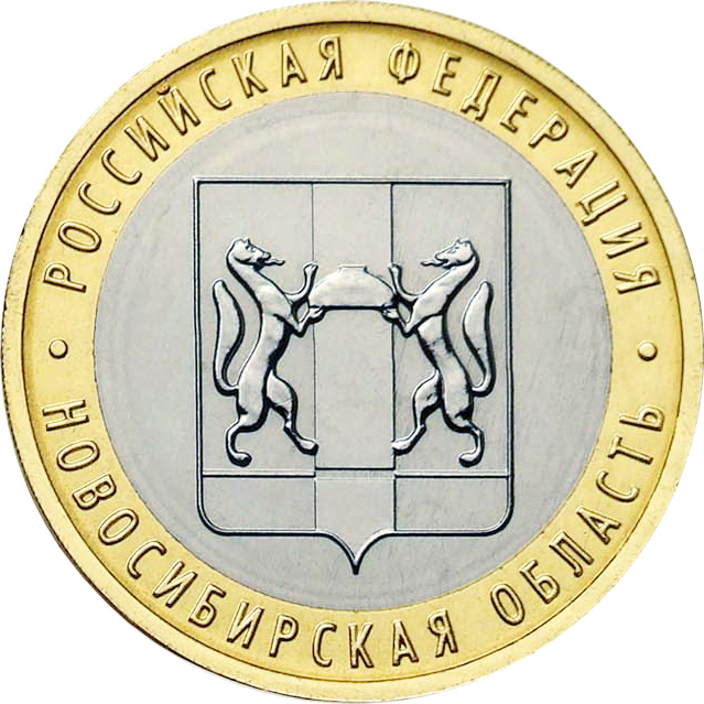
Novosibirsk Oblast (russian: Новосиби́рская о́бласть, ''Novosibirskaya oblast'') is a federal subject of Russia (an oblast) located in southwestern Siberia. Its administrative and economic center is the city of Novosibirsk. The population was 2,788,849 as of the 2018 Census. Geography Overview Novosibirsk Oblast is located in the south of the West Siberian Plain, at the foothills of low Salair ridge, between the Ob and Irtysh Rivers. The oblast borders Omsk Oblast in the west, Kazakhstan (Pavlodar Province) in the southwest, Tomsk Oblast in the north, Kemerovo Oblast in the east, and Altai Krai in the south. The territory of the oblast extends for more than from west to east, and for over from north to south. The oblast is mainly plain; in the south the steppes prevail; in the north enormous tracts of woodland with great number of marshes prevail. There are many lakes, the largest ones located at the south. The majority of the rivers belong to the ... [...More Info...] [...Related Items...] OR: [Wikipedia] [Google] [Baidu] |
Village
A village is a clustered human settlement or community, larger than a hamlet but smaller than a town (although the word is often used to describe both hamlets and smaller towns), with a population typically ranging from a few hundred to a few thousand. Though villages are often located in rural areas, the term urban village is also applied to certain urban neighborhoods. Villages are normally permanent, with fixed dwellings; however, transient villages can occur. Further, the dwellings of a village are fairly close to one another, not scattered broadly over the landscape, as a dispersed settlement. In the past, villages were a usual form of community for societies that practice subsistence agriculture, and also for some non-agricultural societies. In Great Britain, a hamlet earned the right to be called a village when it built a church. [...More Info...] [...Related Items...] OR: [Wikipedia] [Google] [Baidu] |
Sovetsky District, Altai Krai
Sovetsky District (russian: Сове́тский райо́н) is an administrativeLaw #28-ZS and municipalLaw #121-ZS district (raion), one of the fifty-nine in Altai Krai, Russia. It is located in the southeast of the krai. The area of the district is . Its administrative center is the rural locality (a '' selo'') of Sovetskoye. Population: The population of Sovetskoye accounts for 31.8% of the district's total population. Geography Sovetsky District is located on the south-central edge of Altai Krai, on the border with Altai Republic to the southeast. The terrain is mostly peidmont forest-steppe, just west of the foothills of the Western Sayan Range of the Altai Mountains. The Katun River forms the eastern and northern borders of the district, as it flows south-to-north to the Ob River to the north. The Katun is typically frozen from December to early April. Sovetsky District is 195 km southeast of the city of Barnaul, and 3,000 km south of Moscow. The area ... [...More Info...] [...Related Items...] OR: [Wikipedia] [Google] [Baidu] |
Altai Krai
Altai Krai (russian: Алта́йский край, r=Altaysky kray, p=ɐlˈtajskʲɪj kraj) is a federal subjects of Russia, federal subject of Russia (a krai). It borders clockwise from the west, Kazakhstan (East Kazakhstan Region and Pavlodar Region), Novosibirsk Oblast, Novosibirsk and Kemerovo Oblasts, and the Altai Republic. The krai's administrative centre is the types of inhabited localities in Russia, city of Barnaul. As of the Russian Census (2010), 2010 Census, the population of the krai was 2,419,755. Name The region is named after the Altai mountains. In Russian, Altai Krai means the Altai region. Geography Altai Krai has rolling foothills, grasslands, lakes, rivers, and mountains. The highest point of the krai is high Mayak Shangina. The climate is severe with long cold dry winters and hot, usually dry summers. The region's main waterway is the Ob River, which gives its name to the Ob Plateau. The Biya River, Biya and Katun Rivers are also important. Th ... [...More Info...] [...Related Items...] OR: [Wikipedia] [Google] [Baidu] |
Karasuk, Altai Republic
Karasuk (russian: Карасук; alt, Кара-Суу, ''Kara-Suu'') is a rural locality (a selo) in Kyzyl-Ozyokskoye Rural Settlement of Mayminsky District, the Altai Republic The Altai Republic (; russian: Респу́блика Алта́й, Respublika Altay, ; Altai: , ''Altay Respublika''), also known as Gorno-Altai Republic, and colloquially, and primarily referred to in Russian to distinguish from the neighbour ..., Russia. The population was 331 as of 2016. There are 4 streets. Geography Karasuk is located on the Katun River, 33 km southeast of Mayma (the district's administrative centre) by road. Kyzyl-Ozyok is the nearest rural locality. References Rural localities in Mayminsky District {{AltaiRepublic-geo-stub ... [...More Info...] [...Related Items...] OR: [Wikipedia] [Google] [Baidu] |
Mayminsky District
Mayminsky District (russian: Ма́йминский райо́н; alt, Майма аймак, ''Mayma aymak'') is an administrativeLaw #101-RZ and municipalLaw #10-RZ district (raion), one of the ten in the Altai Republic, Russia. It is located in the northwest of the republic. The area of the district is . Its administrative center is the rural locality (a '' selo'') of Mayma. As of the 2010 Census, the total population of the district was 28,642, with the population of Mayma accounting for 56.5% of that number. History The district was established on February 15, 1938. Administrative and municipal status Within the framework of administrative divisions, Mayminsky District is one of the ten in the Altai Republic. As a municipal division, the district is incorporated as Mayminsky Municipal District. Both administrative and municipal districts are divided into the same six rural settlements, comprising twenty-five rural localities. The '' selo'' of Mayma serves ... [...More Info...] [...Related Items...] OR: [Wikipedia] [Google] [Baidu] |
Altai Republic
The Altai Republic (; russian: Респу́блика Алта́й, Respublika Altay, ; Altai: , ''Altay Respublika''), also known as Gorno-Altai Republic, and colloquially, and primarily referred to in Russian to distinguish from the neighbouring Altai Krai as the Gornyi Altai (russian: Горный Алтай, lit=the mountainous Altai), is a republic of Russia located in southern Siberia. It is a part of the Siberian Federal District, and covers an area of ; with a population of 210,924 residents. It is the least-populous republic of Russia and least-populous federal subject in the Siberian Federal District. Gorno-Altaysk is the capital and the largest town of the republic. The Altai Republic is one of Russia's ethnic republics, primarily representing the indigenous Altai people, a Turkic ethnic group that form 35% of the Republic's population, while ethnic Russians form a majority at 57%, and with minority populations of Kazakhs, other Central Asian ethnicities, and Germa ... [...More Info...] [...Related Items...] OR: [Wikipedia] [Google] [Baidu] |
Bogradsky District
Bogradsky District (russian: Богра́дский райо́н; Khakas: , ''Bograd aymağı'') is an administrativeLaw #20 and municipalLaw #68 district (raion), one of the eight in the Republic of Khakassia, Russia. It is located in the northeast of the republic. The area of the district is . Its administrative center is the rural locality In general, a rural area or a countryside is a geographic area that is located outside towns and cities. Typical rural areas have a low population density and small settlements. Agricultural areas and areas with forestry typically are describ ... (a '' selo'') of Bograd. Population: The population of Bograd accounts for 29.4% of the district's total population. References Notes Sources * * {{Use mdy dates, date=January 2013 Districts of Khakassia ... [...More Info...] [...Related Items...] OR: [Wikipedia] [Google] [Baidu] |


