|
Kalaburagi Division
Kalaburagi division, formerly known as Gulbarga division, is one of the four divisions of the Indian state of Karnataka. It has seven districts, namely: Bellary district, Bidar district, Kalaburagi district, Koppal district, Raichur district, Yadgir district, and Vijayanagar district. It was the southwestern part of the former princely state of Hyderabad State. Kalaburagi is the headquarters of Kalaburagi division. The total area of the division is 44,138 sq.km. The total population as of 2011 census is 11,215,224. See also *Districts of Karnataka The Indian State of Karnataka consists of 31 districts grouped into 4 administrative divisions. The state geographically has 3 principal regions: the coastal region of Karavali, the hilly Malenadu region comprising the Western Ghats, and the ... References External links Regional Commissioner Kalaburagi [...More Info...] [...Related Items...] OR: [Wikipedia] [Google] [Baidu] |
States And Territories Of India
India is a federal union comprising 28 states and 8 union territories, with a total of 36 entities. The states and union territories are further subdivided into districts and smaller administrative divisions. History Pre-independence The Indian subcontinent has been ruled by many different ethnic groups throughout its history, each instituting their own policies of administrative division in the region. The British Raj mostly retained the administrative structure of the preceding Mughal Empire. India was divided into provinces (also called Presidencies), directly governed by the British, and princely states, which were nominally controlled by a local prince or raja loyal to the British Empire, which held ''de facto'' sovereignty ( suzerainty) over the princely states. 1947–1950 Between 1947 and 1950 the territories of the princely states were politically integrated into the Indian union. Most were merged into existing provinces; others were organised into ... [...More Info...] [...Related Items...] OR: [Wikipedia] [Google] [Baidu] |
List Of Districts In India
A district ('' zila'') is an administrative division of an Indian state or territory. In some cases, districts are further subdivided into sub-divisions, and in others directly into ''tehsils'' or ''talukas''. , there are a total of 766 districts, up from the 640 in the 2011 Census of India and the 593 recorded in the 2001 Census of India. District officials include: *District Magistrate or Deputy Commissioner or District Collector, an officer of the Indian Administrative Service, in charge of administration and revenue collection *Superintendent of Police or Senior Superintendent of Police or Deputy Commissioner of Police, an officer belonging to the Indian Police Service, responsible for maintaining law and order *Deputy Conservator of Forests, an officer belonging to the Indian Forest Service, entrusted with the management of the forests, environment and wildlife of the district Each of these officials is aided by officers from the appropriate branch of the state governme ... [...More Info...] [...Related Items...] OR: [Wikipedia] [Google] [Baidu] |
Bellary District
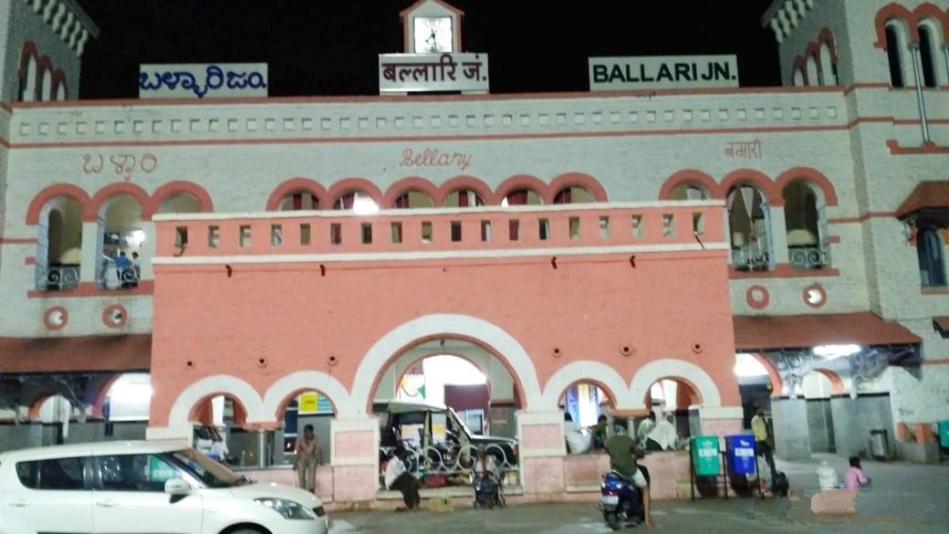
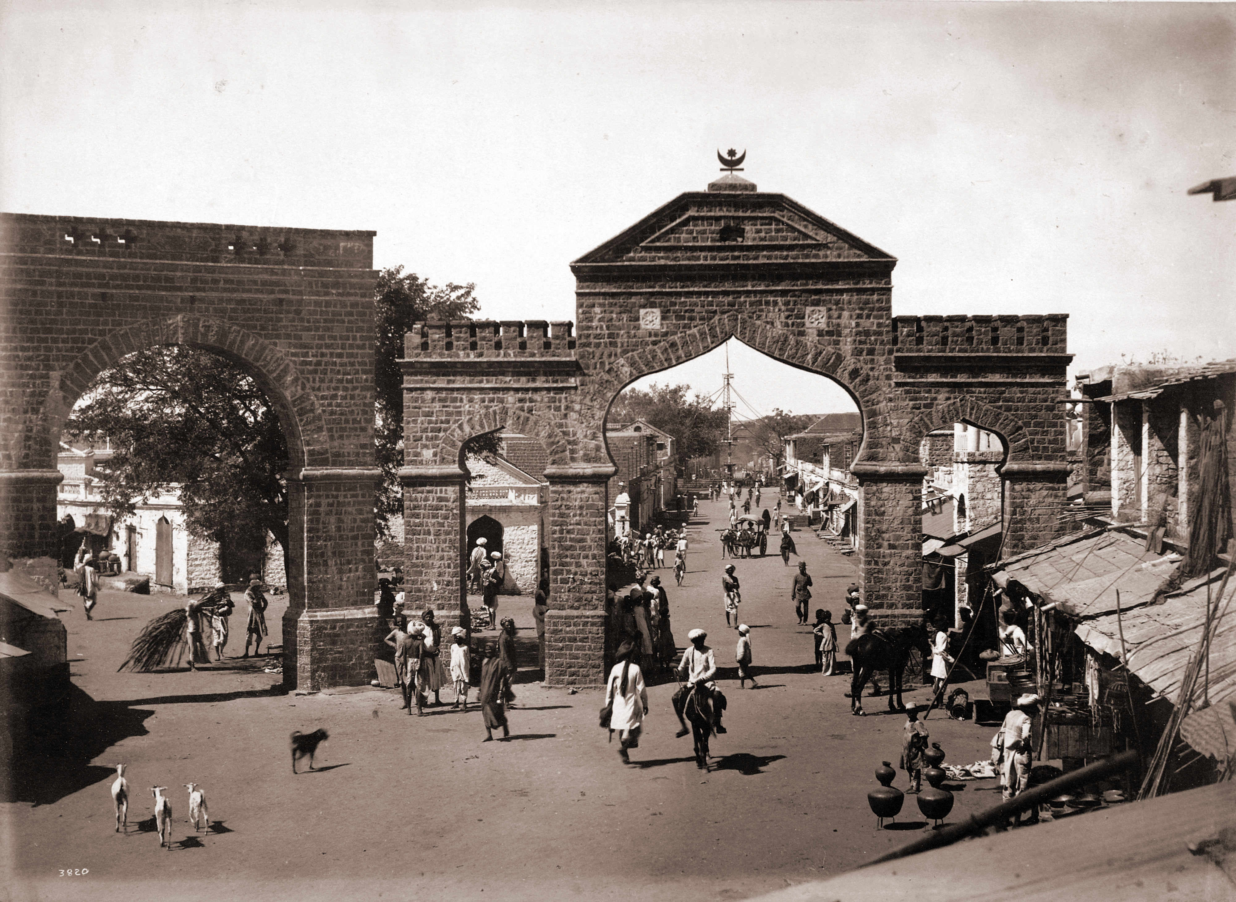
Bellary, officially known as Ballari (pronounced ), is a major district in Karnataka. It is located at north-eastern part of Karnataka. This district belongs to Kalyana-Karnataka. This district was one of the biggest districts in Karnataka until the Vijayanagara district was carved out of Ballari district in 2021 officially. This district has the highest deposits of iron ore in India. Historical sites, farm land and rich minerals characterize Ballari district. Recently making headlines with mining industry, Ballari, the district's capital, is known as Steel City and Gani Nadu (City of Mining). History Earlier Ballari district was part of Madras presidency. The area was severely affected by the Great Famine of 1876–78. After Indian independence, when the Indian states were reorganized along linguistic lines, Ballari became part of the Kalyana-Karnataka region of the state of Karnataka, now renamed as Kalyana-Karnataka. In 1882, Anantapur District was formed by carving ou ... [...More Info...] [...Related Items...] OR: [Wikipedia] [Google] [Baidu] |
Bidar District
Bidar district is the northernmost part of the Karnataka state in India. The administrative headquarters of district is Bidar city. Geographically, it resembles the "Crown of the State", occupying its northeastern end. It is bounded by Kamareddy and Sangareddy districts of Telangana state on the eastern side, Latur and Osmanabad districts of Maharashtra state on the western side, Nanded district of Maharashtra state on the northern side and Kalaburagi district on the southern side. The Bidar district is constituted by eight talukas, namely Bidar, Humnabad, Bhalki, Aurad, Hulsoor, Chitgoppa, Kamalnagar and Basavakalyan with Bidar being the headquarters of the district. Bidar district is connected with the NH-9 and NH-218 highways. History Traditional tales refer to the surrounding region of Bidar district as "Viduranagara" and also as the place where Nala and Damayanthi met. The area was ruled by the Mauryas, Satavahanas, Rashtrakutas, Chalukyas, Kalachuris, Kakatiyas, ... [...More Info...] [...Related Items...] OR: [Wikipedia] [Google] [Baidu] |
Kalaburagi District
Kalaburagi district, formerly known as Gulbarga district, is one of the 31 districts of Karnataka state in southern India. Kalaburagi city is the administrative headquarters of the district. The district is the headquarters of Kalaburagi division. This district is situated in north Karnataka between 76°.04' and 77°.42 east longitude, and 17°.12' and 17°.46' north latitude, covering an area of 10,951 km². This district is bounded on the west by Bijapur district and Solapur district of Maharashtra state, on the north by Bidar district and Osmanabad district of Maharashtra state, on the south by Yadgir district, and on the east by Sangareddy and Vikarabad districts of Telangana state. History The name of the area in Kannada is ''Kala-buragi'', meaning "stony land." In the 6th century CE, the district was under the control of the Chalukyas. The Rashtrakutas briefly conquered the area, but were driven out by the Chalukyas who ruled the area for the next two centuries ... [...More Info...] [...Related Items...] OR: [Wikipedia] [Google] [Baidu] |
Raichur District
Raichur District is an administrative district in the Indian state of Karnataka. It is located in the northeast part of the state and is bounded by Yadgir district in the north, Bijapur and Bagalkot district in the northwest, Koppal district in the west, Bellary district in the south, Jogulamba Gadwal district of Telangana and Kurnool district of Andhra Pradesh in the east. Geography The district is bounded by the Krishna River on the north and the Tungabhadra River on the south. The wedge of land between the rivers is known as the Raichuru Doab, after the city of Raichur. Bijapur and Yadgir districts lie to the north across the Krishna River. Bagalkot and Koppal districts lie to the west. Across the Tungabhadra lies Bellary District of Karnataka to the southwest and Mahabubnagar of Telangana to the southeast. Kurnool District of Andhra Pradesh state lies to the east, and includes the lower portion of the Raichur Doab. History The recorded history of the district is ... [...More Info...] [...Related Items...] OR: [Wikipedia] [Google] [Baidu] |
Yadgir District
Yadgir District is one of the List of districts of Karnataka, 31 districts of Karnataka state in southern India.This district was carved out of Kalaburagi district as the 30th district of Karnataka on 10 April 2010. Yadgir town is the administrative headquarters of the district. The district occupies an area of . Yadgir district is very rich in cultural traditions. The vast stretch of fertile black soil of the district is known for bumper red gram and Sorghum bicolor, jowar crops. The district is the ''Daal bowl'' of the state. The district is also known for cluster of cement industries and a distinct stone popularly known as "Malakheda Stone". Two main rivers, Krishna and Bhima, and a few tributaries flow in this region. The upper Krishna project and Shahapur Taluka in Bendebembali "Core Green Sugar Factory yet to be started. Yadgir which is known the cement, textile, leather, and chemical production in the industrial sectors. The Agriculture College located in Bheemarayana Gu ... [...More Info...] [...Related Items...] OR: [Wikipedia] [Google] [Baidu] |
Vijayanagar District
Vijayanagara district is a district in the Indian state of Karnataka, located in the Kalyana Karnataka region. This district was carved out of Bellary district officially on 2 October 2021 to become the 31st district of the state with Hosapete as district headquarters. It is the home of the former capital of the famous Vijayanagara Empire and its capital Hampi, which is now one of the UNESCO World Heritage Sites. History The region was ruled by the Vijayanagara Empire and is home to several historical places. During British India rule it was part of the Madras presidency. After Indian independence, during the formation of Indian states, with the formation of Andhra Pradesh in 1953, this region became part of Bellary district of the Mysore state. Presently, this district comes under the Kalyana Karnataka region, that is, the Northeast part of Karnataka state. In 2020, six taluks from Bellary district were carved out to form this district making it the 31st district of Karna ... [...More Info...] [...Related Items...] OR: [Wikipedia] [Google] [Baidu] |
Kalaburagi
Kalaburagi, formerly known as Gulbarga, is a city in the Indian state of Karnataka. It is the administrative headquarters of the Kalaburagi district and is the largest city in the region of North Karnataka (Kalyana-Karnataka). Kalaburagi is 623 km north of the state capital city of Bangalore. It was incorporated into the newly formed Mysore State (now known as Karnataka) through the States Reorganisation Act in 1956. Kalaburagi city is governed by a Municipal Corporation and is in the Kalaburagi Urban Region. It is called a Sufi city. It has famous religious structures, like the Bande Nawaz, Khwaja Banda Nawaz Dargah, the Sharana Basaveshwara Temple and the Buddha Vihar, Gulbarga, Buddha Vihar. It also has a Kalaburagi Fort, fort built during the Bahmani rule. Other Bahmani monuments include the Haft Gumbaz (seven domes together) and the Shor Gumbad. Kalaburagi has the world's largest cannon. Kalaburagi has a few architectural marvels built during the Bahamani Kingdom rul ... [...More Info...] [...Related Items...] OR: [Wikipedia] [Google] [Baidu] |
Indian Administrative Service
The Indian Administrative Service (IAS) is the administrative arm of the All India Services of Government of India. Considered the premier civil service of India, the IAS is one of the three arms of the All India Services along with the Indian Police Service and the Indian Forest Service. Members of these three services serve the Government of India as well as the individual states. IAS officers are also deployed to various government establishments such as constitutional bodies, staff & line agencies, auxiliary bodies, public sector units, regulatory bodies, statutory bodies and autonomous bodies. As with other countries following the parliamentary system of government, the IAS is a part of the permanent bureaucracy of the nation, and is an inseparable part of the executive of the Government of India. As such, the bureaucracy remains politically neutral and guarantees administrative continuity to the ruling party or coalition. Upon confirmation of service, an IAS offic ... [...More Info...] [...Related Items...] OR: [Wikipedia] [Google] [Baidu] |
Administrative Divisions Of Karnataka
Karnataka a state in southern India was formed on November 1, 1956 name of Mysore state on November 1,1973 renamed as Karnataka The state is divided into 4 divisions. * Bengaluru * Belagavi * Kalaburagi * Mysuru Mysore (), officially Mysuru (), is a city in the southern part of the state of Karnataka, India. Mysore city is geographically located between 12° 18′ 26″ north latitude and 76° 38′ 59″ east longitude. It is located at an altitude of ... References and Additional ResourcesKarnataka Website * {{Karnataka-geo-stub ... [...More Info...] [...Related Items...] OR: [Wikipedia] [Google] [Baidu] |


