|
Jan Blažej Santini-Aichel
Jan Blažej Santini Aichel (3 February 1677 – 7 December 1723) was a Czech architect of Italian descent, whose major works represent the unique Baroque Gothic style - the special combination of the Baroque and Gothic styles. Biography He was born on the day of Saint Blaise as the oldest son to a respectable family of a Prague stonemasons Santini Aichel (his grandfather Antonio Aichel moved from Italy to Prague in the 1630s) and was baptized in the St. Vitus Cathedral as Johann Blasius Aichel. He was born with a physical disability – paralysis of a half of his body. This prevented him from a successful follow-up to his father's career. He only served his time of apprenticeship (as did his brother Franz), but he also studied painting from the imperial and royal painter Christian Schröder. Around 1696 he started to travel and gain experience. After his journey through Austria he arrived in Rome, Italy, where he had the possibility to meet with the work of a radica ... [...More Info...] [...Related Items...] OR: [Wikipedia] [Google] [Baidu] |
Czech Republic
The Czech Republic, or simply Czechia, is a landlocked country in Central Europe. Historically known as Bohemia, it is bordered by Austria to the south, Germany to the west, Poland to the northeast, and Slovakia to the southeast. The Czech Republic has a hilly landscape that covers an area of with a mostly temperate continental and oceanic climate. The capital and largest city is Prague; other major cities and urban areas include Brno, Ostrava, Plzeň and Liberec. The Duchy of Bohemia was founded in the late 9th century under Great Moravia. It was formally recognized as an Imperial State of the Holy Roman Empire in 1002 and became a kingdom in 1198. Following the Battle of Mohács in 1526, the whole Crown of Bohemia was gradually integrated into the Habsburg monarchy. The Protestant Bohemian Revolt led to the Thirty Years' War. After the Battle of White Mountain, the Habsburgs consolidated their rule. With the dissolution of the Holy Empire in 1806, the Cro ... [...More Info...] [...Related Items...] OR: [Wikipedia] [Google] [Baidu] |
Žďár Nad Sázavou
Žďár nad Sázavou (; german: Saar) is a town in the Vysočina Region of the Czech Republic. It has about 20,000 inhabitants. It is situated on a major rail link between Prague and Brno. The town both industrial and tourist centre. It is known for the Pilgrimage Church of Saint John of Nepomuk, which is a UNESCO World Heritage Site. Administrative parts Town parts of Žďár nad Sázavou 1–8 and villages of Mělkovice, Radonín, Stržanov and Veselíčko are administrative parts of Žďár nad Sázavou. History Žďár was founded as a settlement of nearby Cistercian monastery, which was established in 1252. The original settlement was soon moved on the left bank of the Sázava, in the site of today's historic centre. In 1293, Žďár was first referred to as a market town. From 1588, Žďár came under administration of Olomouc Bishopric, but remained loyal to he Cistercian monastery, which resulted in a long-running dispute. In 1606, the monastery was abolished and the di ... [...More Info...] [...Related Items...] OR: [Wikipedia] [Google] [Baidu] |
Křtiny (Blansko District)
Křtiny is a market town in Blansko District in the South Moravian Region of the Czech Republic. It has about 800 inhabitants. Geography Křtiny is located about southeast of Blansko and northeast of Brno. It lies in the Drahany Highlands, on the boundary of the Moravian Karst Protected Landscape Area. The highest point of the municipal territory is the hill Proklest with an elevation of . History The first written mention of Křtiny is from 1237, in a deed of Pope Gregory IX. Sights Křtiny is known for an significant European pilgrimage site administered by the Premonstratensians. In 1718, a Baroque pilgrim complex was created by the original project of Jan Santini Aichel, but was modified during construction and was never fully completed. It comprises the Church of the Name of the Virgin Mary with a Gothic statue of the Virgin Mary and an ossuary An ossuary is a chest, box, building, well, or site made to serve as the final resting place of human skeletal remains. They ... [...More Info...] [...Related Items...] OR: [Wikipedia] [Google] [Baidu] |
Church Of The Name Of The Virgin Mary (Křtiny)
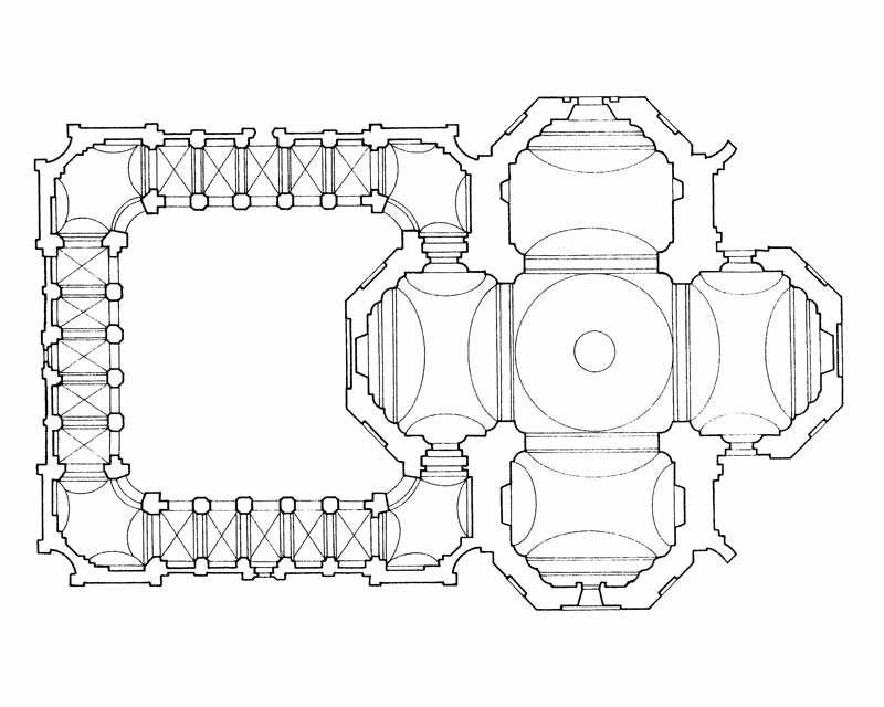
Church of the Name of the Virgin Mary ( cs, Kostel Jména Panny Marie) is a Roman Catholic church in Křtiny, South Moravian Region, Czech Republic. It is an important pilgrimage destination in Moravia and one of the most celebrated shrines in Central Europe. The church was designed by the famous architect Jan Santini Aichel and it was one of the last commissioned by him. It is an iconic masterpiece of so-called radical Baroque of Bohemia and Moravia, built as part of a complex of monastic buildings and summer residences of the Premonstratensian Zábrdovice Abbey, an order dedicated to the preaching and the exercising of pastoral ministry. Santini received the commission in 1711, under the patronage of bishop of Olomouc Maxmilian Hamilton and abbot Hugo Bartlicius, whose palace was behind in the slope. The temple was constructed in time of the rule of abbot Krištof Matuška. Gallery Chrám Jména Panny Marie ve Křtinách vyfotografovaný od jihovýchodu.jpg, Western façad ... [...More Info...] [...Related Items...] OR: [Wikipedia] [Google] [Baidu] |
Želiv
Želiv (german: Seelau) is a municipality and village in Pelhřimov District in the Vysočina Region of the Czech Republic. It has about 1,200 inhabitants. Želiv lies approximately north of Pelhřimov, north-west of Jihlava, and south-east of Prague. Administrative parts Villages of Bolechov, Brtná, Lhotice, Lískovice, Miletín, Vitice and Vřesník are administrative parts of Želiv. Sights Želiv is known for architecturally valuable Premonstratensian monastery with the Church of the Nativity of the Virgin Mary. The monastery was founded in 1139 and renewed in 1712 according to design by Jan Santini Aichel. Twin towns – sister cities Želiv is twinned with: * Kiesen Kiesen is a municipality in the Bern-Mittelland administrative district in the canton of Bern in Switzerland. History The oldest trace of a settlement in the area is a neolithic stone ax which was found at Rotachen. Other prehistoric finds inc ..., Switzerland References Villages in Pelhř ... [...More Info...] [...Related Items...] OR: [Wikipedia] [Google] [Baidu] |
Kladruby (Tachov District)
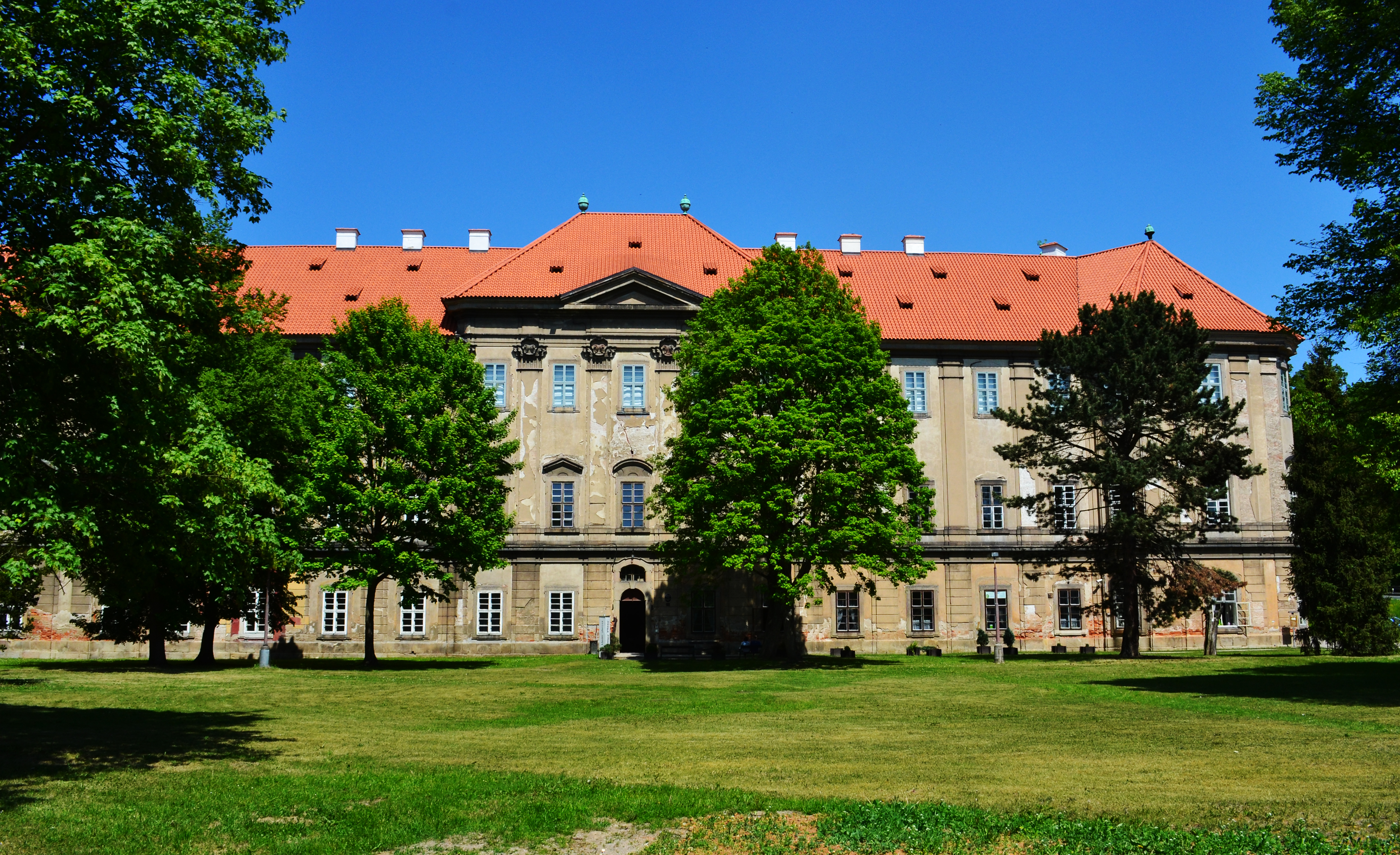
Kladruby (german: Kladrau) is a town in Tachov District in the Plzeň Region of the Czech Republic. It has about 1,600 inhabitants. Administrative parts Villages of Brod u Stříbra, Láz, Milevo, Pozorka, Tuněchody and Vrbice u Stříbra are administrative parts of Kladruby. Geography Kladruby is located about west of Plzeň. It lies in the Plasy Uplands. The highest point is the hill Pastvina at above sea level. The Úhlavka River flows through the town. History The Kladruby village was founded together with the Kladruby Monastery in 1115. Around 1233, a new royal town was founded by Wenceslaus I of Bohemia. Transport The D5 motorway passes through the municipal territory. Culture Since 1977, the Kladruby Summer Music Festival focused on classical music has been held in the premises of the Kladruby Monastery. Sights The Kladruby Monastery is a large Benedictine monastery founded in 1115 by Vladislaus I, Duke of Bohemia. Its vast late Baroque Church of the Assumption of ... [...More Info...] [...Related Items...] OR: [Wikipedia] [Google] [Baidu] |
Plasy
Plasy (; german: Plass) is a town in Plzeň-North District in the Plzeň Region of the Czech Republic. It has about 2,800 inhabitants. It is known for its former monastery. Administrative parts Villages of Babina, Horní Hradiště, Lomnička, Nebřeziny and Žebnice are administrative parts of Plasy. Geography Plasy is located about north of Plzeň. It lies in the Plasy Uplands. The highest point is the hill Spálená hora at above sea level. The Střela River flows through the town. History The foundation of the town is connected with the foundation of the Cistercian monastery. The Plasy Monastery was founded in 1144 by then Prince Vladislaus II, Duke and King of Bohemia, Vladislaus II. The monastery experienced the greatest development during the reign of King Wenceslaus I of Bohemia, Wenceslaus I, and its property gradually grew to cover 50 surrounding villages. The development of the monastery ended during the Hussite Wars, when it was burned down in 1421. The entire 15th ... [...More Info...] [...Related Items...] OR: [Wikipedia] [Google] [Baidu] |
Mariánská Týnice
Mariánská Týnice is a former pilgrimage site in Kralovice in the Czech Republic. It is a complex of a monastery with the Baroque Church of the Annunciation and the Cistercian provost office built by Jan Santini Aichel in the 18th century. Today the monastery houses the Museum and Gallery of the Northern Plzeň Region. History of the pilgrimage site In the 12th century the village of Mariánský Týnec near Kralovice belonged to a man called Roman. He was ill and without children, and he promised that if he were healed he would build a chapel dedicated to the Virgin Mary. They recovered and he kept his promise.A. Černý: Mariánská Týnice u Kralovic, Kralovice 1936 In circa 1180 (or 1230Mariánská Týnec u Kralovic, Edice Kroužku přátel starožitností v Plzni, Plzeň 1914 ) he bequeathed his property to the Cistercian monastery in Plasy. The monks of Plasy built a court around the chapel where they worked. People started to visit the site from far and wide and Po ... [...More Info...] [...Related Items...] OR: [Wikipedia] [Google] [Baidu] |
Panenské Břežany
Panenské Břežany (german: Jungfern-Breschan) is a municipality and village in Prague-East District in the Central Bohemian Region of the Czech Republic. It has about 600 inhabitants. Geography Panenské Břežany lies about north of Prague. The western part of the municipality is located in the Prague Plateau, the eastern part is located in the Central Elbe Table. History The settlement was first mentioned in 1233 as the possession of the Benedictine St. George's Convent at Prague Castle. The first mention of a keep in Panenské Břežany is from 1441. In the first half of the 18th century a Baroque palace was built, which came to be called the Horní Chateau ("Upper Chateau"). After the secularization of the monastery during reign of Emperor Joseph II the manor fell to the Virgin Teinitz Religious foundation. Until 1828 the owners changed several times, then it was purchased by Matthias von Riese-Stallburg. Around 1840 he built the Dolní Chateau ("Lower Chateau"). His de ... [...More Info...] [...Related Items...] OR: [Wikipedia] [Google] [Baidu] |
World Heritage Site
A World Heritage Site is a landmark or area with legal protection by an international convention administered by the United Nations Educational, Scientific and Cultural Organization (UNESCO). World Heritage Sites are designated by UNESCO for having cultural, historical, scientific or other form of significance. The sites are judged to contain " cultural and natural heritage around the world considered to be of outstanding value to humanity". To be selected, a World Heritage Site must be a somehow unique landmark which is geographically and historically identifiable and has special cultural or physical significance. For example, World Heritage Sites might be ancient ruins or historical structures, buildings, cities, deserts, forests, islands, lakes, monuments, mountains, or wilderness areas. A World Heritage Site may signify a remarkable accomplishment of humanity, and serve as evidence of our intellectual history on the planet, or it might be a place of great natural beauty. A ... [...More Info...] [...Related Items...] OR: [Wikipedia] [Google] [Baidu] |
Kutná Hora
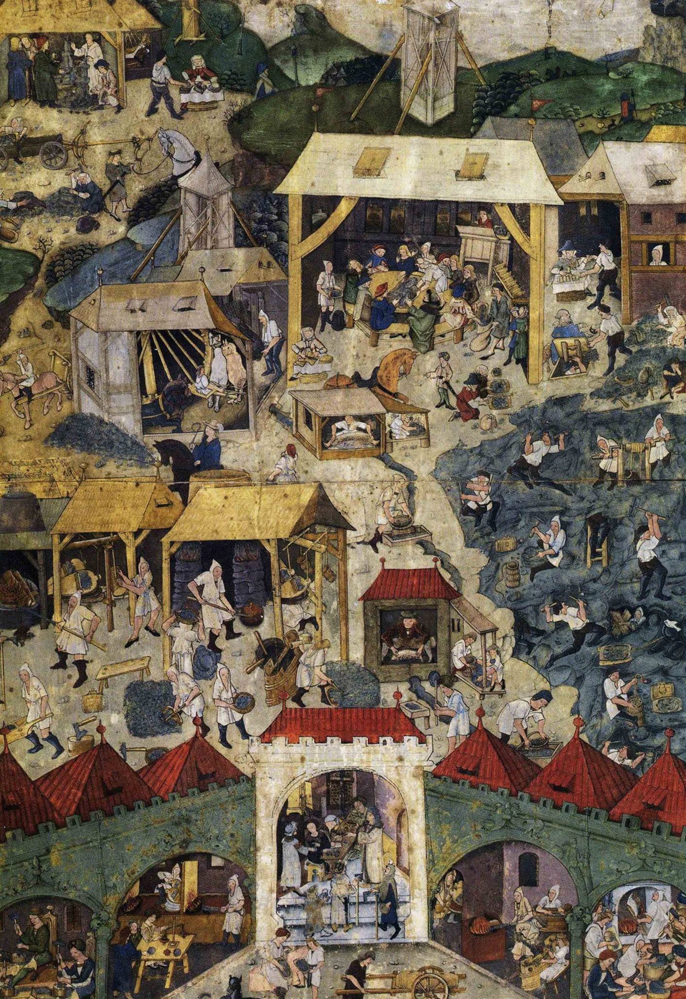
Kutná Hora (; medieval Czech: ''Hory Kutné''; german: Kuttenberg) is a town in the Central Bohemian Region of the Czech Republic. It has about 20,000 inhabitants. The centre of Kutná Hora, including the Sedlec Abbey and its ossuary, was designated a UNESCO World Heritage Site in 1995 because of its outstanding architecture and its influence on subsequent architectural developments in other Central European city centres. Since 1961, the town centre is also protected by law as an urban monument reservation, the fourth largest in the country. Administrative parts The town is made up of twelve town parts and villages: *Kutná Hora-Vnitřní Město *Hlouška *Kaňk *Karlov *Malín *Neškaredice *Perštejnec *Poličany *Sedlec *Šipší *Vrchlice *Žižkov Geography Kutná Hora is located about east of Prague. It lies on the Vrchlice stream. The eastern part of the municipal territory lies in a flat agricultural landscape of the Central Elbe Table lowland. The western part lies i ... [...More Info...] [...Related Items...] OR: [Wikipedia] [Google] [Baidu] |
.jpg)


