|
James Larmer
James Larmer (b. 1808 or 1809 – d. 1886) was a government surveyor in the colony of New South Wales. Between 1830 and 1859, he surveyed land, roads and settlements in New South Wales. He was an Assistant Surveyor to the Surveyor-General, Sir Thomas Mitchell, from 1835 to 1855. In 1835, he was second in command of Mitchell’s second expedition. He is also noteworthy for his recording of Aboriginal words from various parts of New South Wales. Early life Larmer was born in Reigate, Surrey, England and arrived in Sydney in October 1829 to take up his appointment as a survey draftsman. Title deed information, from his time in Australia, shows his full name as James Gulley Larmer. Career Between 1830 and early 1835, James Larmer surveyed land, roads, streets, coastlines, creeks, rivers, and ridges in what is now greater Sydney, in nearby areas including Broke and Branxton in the Hunter, Brooklyn, Mangrove Creek, Broken Bay and Pittwater around the Hawkesbury River, and in m ... [...More Info...] [...Related Items...] OR: [Wikipedia] [Google] [Baidu] |
James Larmer Early 1900's Copy Of Ca
James is a common English language surname and given name: *James (name), the typically masculine first name James * James (surname), various people with the last name James James or James City may also refer to: People * King James (other), various kings named James * Saint James (other) * James (musician) * James, brother of Jesus Places Canada * James Bay, a large body of water * James, Ontario United Kingdom * James College, a college of the University of York United States * James, Georgia, an unincorporated community * James, Iowa, an unincorporated community * James City, North Carolina * James City County, Virginia ** James City (Virginia Company) ** James City Shire * James City, Pennsylvania * St. James City, Florida Arts, entertainment, and media * ''James'' (2005 film), a Bollywood film * ''James'' (2008 film), an Irish short film * ''James'' (2022 film), an Indian Kannada-language film * James the Red Engine, a character in ''Thomas the Tank En ... [...More Info...] [...Related Items...] OR: [Wikipedia] [Google] [Baidu] |
Murray River
The Murray River (in South Australia: River Murray) (Ngarrindjeri: ''Millewa'', Yorta Yorta: ''Tongala'') is a river in Southeastern Australia. It is Australia's longest river at extent. Its tributaries include five of the next six longest rivers of Australia (the Murrumbidgee, Darling, Lachlan, Warrego and Paroo Rivers). Together with that of the Murray, the catchments of these rivers form the Murray–Darling basin, which covers about one-seventh the area of Australia. It is widely considered Australia's most important irrigated region. The Murray rises in the Australian Alps, draining the western side of Australia's highest mountains, then meanders northwest across Australia's inland plains, forming the border between the states of New South Wales and Victoria as it flows into South Australia. From an east–west direction it turns south at Morgan for its final , reaching the eastern edge of Lake Alexandrina, which fluctuates in salinity. The water then flows throu ... [...More Info...] [...Related Items...] OR: [Wikipedia] [Google] [Baidu] |
Braidwood, New South Wales
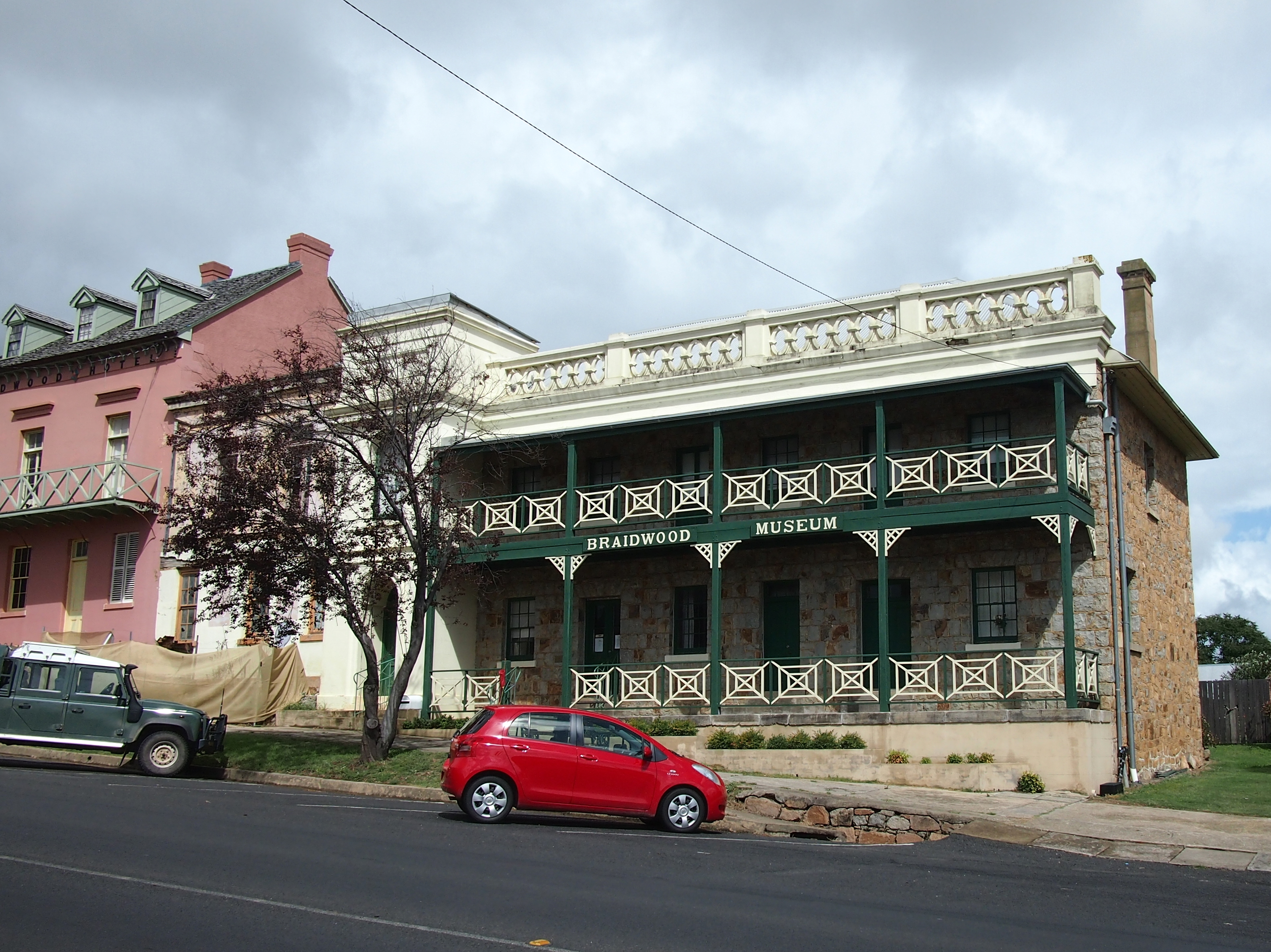
Braidwood is a town in the Southern Tablelands of New South Wales, Australia, in Queanbeyan–Palerang Regional Council. It is located on the Kings Highway linking Canberra with Batemans Bay. It is approximately 200 kilometres south west of Sydney, 60 kilometres inland from the coast, and 55 kilometres east of Canberra. Braidwood is a service town for the surrounding district which is based on sheep and cattle grazing, and forestry operations. Indigenous History Braidwood is located within the Yuin Nation, on Walbanga Country. The Walbanga People speak dialects of the Thurga (Durga/Dhurga) language. The Walbanga Peoples relied on the plentiful supply of vegetables available in the tablelands, such as the tubers of the yam daisy, wattle-seeds, and orchid tubers. In September to May, fish and crayfish were eaten, while possums and larger grazing animals were hunted year round. The Walbanga People and neighbouring groups made annual trips in December and January from to the B ... [...More Info...] [...Related Items...] OR: [Wikipedia] [Google] [Baidu] |
Broulee, New South Wales
Broulee is a town on the south coast of New South Wales between Batemans Bay and Moruya. At the , the town had a population of 1,717. Just off the beach is Broulee Island, currently joined to the mainland, but in past years the connecting spit has been covered by water, at times a very deep navigable channel with a strong current. The first harbour in the area south of Batemans Bay was established at Broulee behind what is now known as the island. Although settlement had already commenced on the shores of the nearby Moruya River, it was not easily navigable due to a sandbar at its mouth. History The Broulee area was surveyed and gazetted in 1837, a town plan made by James Larmer in 1839, and land sales commenced in 1840. At that time a post office was opened with mail being delivered each week over the mountains from Braidwood. Henry Clarke took up farming in the Broulee area in the 1840s after emigrating from Ireland. The first court in the district was established also in ... [...More Info...] [...Related Items...] OR: [Wikipedia] [Google] [Baidu] |
Queanbeyan
Queanbeyan ( ) is a city in the south-eastern region of New South Wales, Australia, located adjacent to the Australian Capital Territory in the Southern Tablelands region. Located on the Queanbeyan River, the city is the council seat of the Queanbeyan-Palerang Regional Council. At the , the Queanbeyan part of the Canberra–Queanbeyan built-up area had a population of 37,511. Queanbeyan's economy is based on light construction, manufacturing, service, retail and agriculture. Canberra, Australia's capital, is located to the west, and Queanbeyan is a commuter town. The word ''Queanbeyan'' is the anglicised form of ''Quinbean'', an Aboriginal word meaning ''"clear waters"''. History The first inhabitants of Queanbeyan are Ngambri peoples of the Walgalu Nation, the meeting place of two rivers was known by the local Indigenous population as Quinbean, which is the name of our Historical Journal. The traditional owners, the Ngambri, in ancestral times: Before white man’s arriv ... [...More Info...] [...Related Items...] OR: [Wikipedia] [Google] [Baidu] |
Bungendore
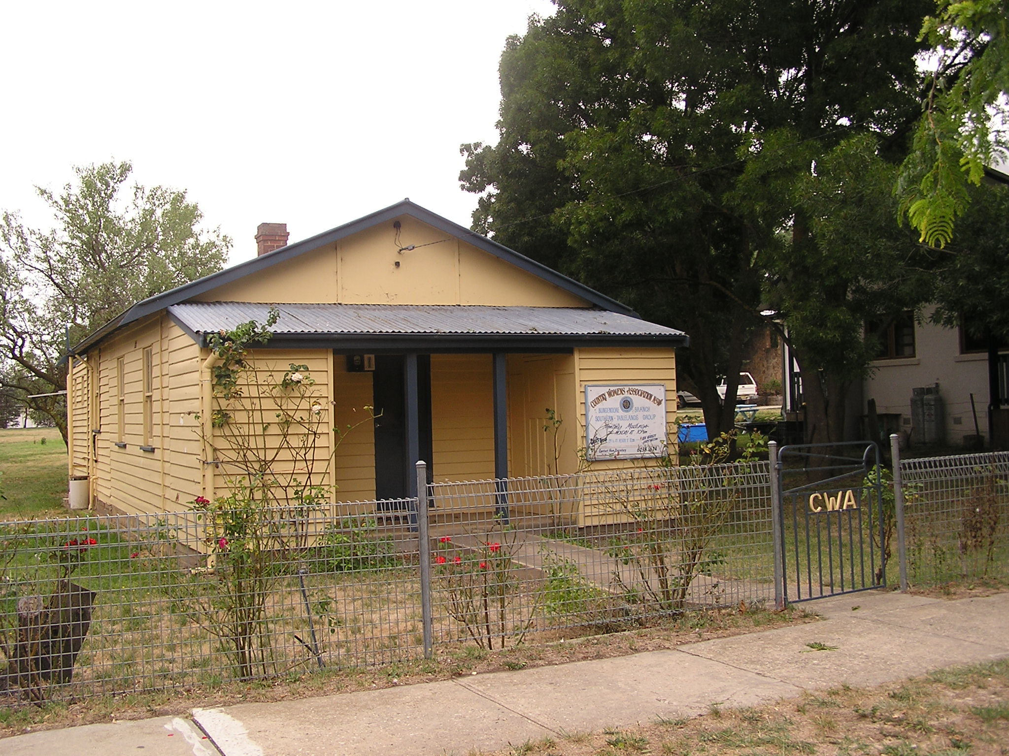
Bungendore is a town in the Queanbeyan Region of New South Wales, Australia, in Queanbeyan-Palerang Regional Council. It is on the Kings Highway near Lake George, the Molonglo River Valley and the Australian Capital Territory border. It has become a major tourist centre in recent years, popular with visitors from Canberra and some of it has heritage protection. It has expanded rapidly in recent years as a dormitory town of Canberra. History Prior to European settlement, the area was occupied by the Ngarigo people, whose northernmost lands extended to the southern shore of Lake George and around the base of the steep escarpment lying to the west of what is now Bungendore. The first Europeans in the vicinity were members of the exploratory party of Dr Charles Throsby in 1820, who, along with Hamilton Hume, also originally explored the Braidwood area. In 1824, explorer Allan Cunningham passed through Bungendore. A year later, the first European settlers arrived. The ma ... [...More Info...] [...Related Items...] OR: [Wikipedia] [Google] [Baidu] |
Ulladulla, New South Wales
Ulladulla is a coastal town in New South Wales, Australia in the City of Shoalhaven local government area. It is on the Princes Highway about south of Sydney, halfway between Batemans Bay to the south and Nowra to the north. Ulladulla has close links with the nearby historic settlement of Milton and many services are shared between these towns. History The name Ulladulla is the modern spelling of an Aboriginal word, the meaning of which is unknown. Some records show the name meaning "safe harbour" but local Aboriginal Elders dispute the meaning and point out that a harbour for boats is a modern idea. The name was corrupted to "Holy Dollar" at one time. Alternative spellings as Woolladoorh or Ngulla-dulla have been recorded. The first white Settler was Rev Thomas Kendall in 1828 who started cedar cutting at Narrawallee Creek near Milton. Geography The Ulladulla area is a seven-kilometre stretch of continuous urban residential development from the southern edge of Ulladulla, thro ... [...More Info...] [...Related Items...] OR: [Wikipedia] [Google] [Baidu] |
Charles Sturt
Charles Napier Sturt (28 April 1795 – 16 June 1869) was a British officer and explorer of Australia, and part of the European exploration of Australia. He led several expeditions into the interior of the continent, starting from Sydney and later from Adelaide. His expeditions traced several of the westward-flowing rivers, establishing that they all merged into the Murray River, which flows into the Southern Ocean. He was searching to prove his own passionately held belief that an " inland sea" was located at the centre of the continent. He reached the rank of Captain, served in several appointed posts, and on the Legislative Council. Born to British parents in Bengal, British India, Sturt was educated in England for a time as a child and youth. He was placed in the British Army because his father was not wealthy enough to pay for Cambridge. After assignments in North America, Sturt was assigned to accompany a ship of convicts to Australia in 1827. Finding the place to his lik ... [...More Info...] [...Related Items...] OR: [Wikipedia] [Google] [Baidu] |
Menindee Lakes
The Menindee Lakes is a system of 9 large, but relatively shallow lakes, located in south-west New South Wales on the Darling (Barka) River, about 200 km upstream of the Darling River's junction with the River Murray. The Darling River is fed by nine major tributary river systems flowing from south-east Queensland and north and central NSW. The town of Menindee is close to the lakes and the nearest city is Broken Hill. There are 4 main lakes in the system: * Lake Wetherell * Lake Pamamaroo * Lake Menindee (the largest lake) * Lake Cawndilla. The lakes rely on replenishment, when water flows over the banks of the Darling (Barka) River. The NSW Government modified the lakes (completed 1968) to improve their storage capacity for farming, recreation, mining and urban water supply and to help manage floods in the Darling River. In the 1960s, governments decided to use some of the lakes as water storages, building a large weir (Main Weir) to divert water into lakes Pamamaroo, ... [...More Info...] [...Related Items...] OR: [Wikipedia] [Google] [Baidu] |
Richard Cunningham (botanist)
Richard Cunningham (12 February 1793 – April 1835) was an English botanist who became Colonial Botanist of New South Wales and superintendent of the Sydney Botanic Gardens. Early life He was born in Wimbledon, Surrey, England, the second son of gardener Allan Cunningham, who came from Renfrewshire, Scotland, and his English wife Sarah. Cunningham was educated at a Rev. John Adams Academy at Putney and then went to work for William Townsend Aiton on ''Hortus Kewensis'' for six years. For the next 18 years, he worked at the Royal Botanic Gardens, Kew, England, cataloguing specimens sent from Australia by his brother Allan. Australia After being recommended for the position by both his brother Allan and botanist Robert Brown, Cunningham sailed to Australia to take up the position of Colonial Botanist of New South Wales and superintendent of Sydney Botanic Gardens, arriving in January 1833. Later that year he made an expedition to New Zealand, on . He was dropped off in the ... [...More Info...] [...Related Items...] OR: [Wikipedia] [Google] [Baidu] |
Bourke, New South Wales
Bourke is a town in the north-west of New South Wales, Australia. The administrative centre and largest town in Bourke Shire, Bourke is approximately north-west of the state capital, Sydney, on the south bank of the Darling River. it is also situated: * 137 kilometres south of Barringun and the Queensland - New South Wales Border * 256 kilometres (159 mi) south of Cunnamulla * 454 kilometres (282 mi) south of Charleville History The location of the current township of Bourke on a bend in the Darling River is the traditional country of the Ngemba people. The first European-born explorer to encounter the river was Charles Sturt in 1828 who named it after Sir Ralph Darling, Governor of New South Wales. Having struck the region during an intense drought and a low river, Sturt dismissed the area as largely uninhabitable and short of any features necessary for establishing reliable industry on the land. It was not until the mid-1800s following a visit by colonial surveyor ... [...More Info...] [...Related Items...] OR: [Wikipedia] [Google] [Baidu] |
Bogan River
Bogan River, a perennial river that is part of the Macquarie– Barwon catchment within the Murray–Darling basin, is located in the central west and Orana regions of New South Wales, Australia. From its origin near Parkes, the Bogan River flows for about in length and flows into the Little Bogan River to form the Darling River, near Bourke. The name Bogan is supposedly an Australian Aboriginal (Wiradjuri or Ngiyambaa) term meaning 'the birthplace of a notable headman of the local tribe'; and is also a Gaelic term meaning bog. Geography From the foothills of the Herveys Range, the Bogan River rises to the west of the headwaters of the Little River at Cooks Myalls, near Goonumbla, north-west of Parkes. The river flows in a generally north-north-westerly direction past Tottenham, Peak Hill and through Nyngan. East of Bourke, the Bogan River joins with the Little Bogan River to form the Darling River. The Bogan River has over twenty tributaries. The main tributaries to ... [...More Info...] [...Related Items...] OR: [Wikipedia] [Google] [Baidu] |
.jpg)


