|
July 1865 Bruce By-election
The July 1865 Bruce by-election was a New Zealand by-election held in the electorate of during the 3rd New Zealand Parliament on 27 July 1865 triggered by the resignation of Edward Cargill. Three candidates were nominated but one of them withdrew during the nomination meeting. James Macandrew was the successful candidate; he defeated John Cargill, a former Member of Parliament and a brother of the incumbent. Background A large meeting was held on Saturday, 8 July, to discuss who should contest the superintendency election, and who could represent the Bruce electorate in parliament. On the latter question, John Cargill and William John Dyer were discussed as candidates. There was concern about John Cargill's suitability as their representative, and the meeting finished with passing the following resolution unanimously: That this meeting does not consider Mr. John Cargill a suitable person to represent Bruce, and request Mr. W. J. Dyer to offer himself as a candidate for th ... [...More Info...] [...Related Items...] OR: [Wikipedia] [Google] [Baidu] |
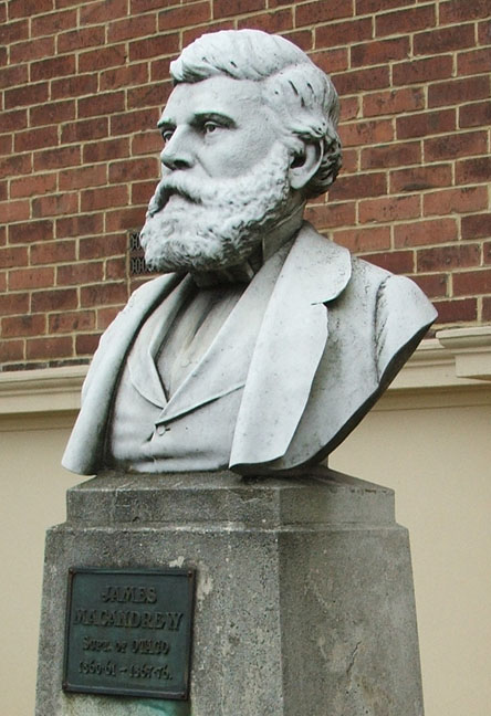
James Macandrew
James Macandrew (1819(?) – 25 February 1887) was a New Zealand ship-owner and politician. He served as a Member of Parliament from 1853 to 1887 and as the last Superintendent of Otago Province. Early life Macandrew was born in Scotland, probably in Aberdeen, where he was baptised on 18 May 1819. He became active in the Free Church of Scotland, and from there, in the proposed colonisation of Otago (which was being advocated by the Lay Association of the Free Church of Scotland, later the Otago Association). In partnership with his brother-in-law William Reynolds, Macandrew bought a schooner, loaded it with cargo, and set sail for Otago with his family. He arrived in January 1851. Still working in partnership with his brother-in-law, Macandrew immediately became a major figure in the business community of Dunedin. Reynolds, his brother-in-law, began to build up a shipping business, while Macandrew himself established a trading firm in the city. The partners later established ... [...More Info...] [...Related Items...] OR: [Wikipedia] [Google] [Baidu] |
Waihola
The township of Waihola lies between Dunedin and Milton, New Zealand in Otago, in New Zealand's South Island. It lies close to the southeast shore of the shallow tidal lake which shares its name. The town is located on State Highway 1, and the South Island Main Trunk rail line runs through it, though trains no longer stop. The township is within the boundaries of Clutha District. Etymology The name ''Waihola'' is accepted to be analogous with the word ''wai-hora'', meaning "spreading waters". The place name for the location of Waihola is assigned as an official place name by the New Zealand Geographic Board. The place name also creates some interest as the Māori alphabet doesn't normally contain the letter ' L'. This is most likely an example of an earlier Southern Māori dialect. Demographics Waihola is described by Statistics New Zealand as a rural settlement. It covers , and is part of the much larger Bruce statistical area. Waihola had a population of 399 at the 2018 Ne ... [...More Info...] [...Related Items...] OR: [Wikipedia] [Google] [Baidu] |
Politics Of Otago
Politics (from , ) is the set of activities that are associated with making decisions in groups, or other forms of power relations among individuals, such as the distribution of resources or status. The branch of social science that studies politics and government is referred to as political science. It may be used positively in the context of a "political solution" which is compromising and nonviolent, or descriptively as "the art or science of government", but also often carries a negative connotation.. The concept has been defined in various ways, and different approaches have fundamentally differing views on whether it should be used extensively or limitedly, empirically or normatively, and on whether conflict or co-operation is more essential to it. A variety of methods are deployed in politics, which include promoting one's own political views among people, negotiation with other political subjects, making laws, and exercising internal and external force, including wa ... [...More Info...] [...Related Items...] OR: [Wikipedia] [Google] [Baidu] |
By-elections In New Zealand
By-elections in New Zealand occur to fill vacant seats in the House of Representatives. The death, resignation, or expulsion of a sitting electorate MP can cause a by-election. (Note that list MPs do not have geographic districts for the purpose of provoking by-elections – if a list MP's seat becomes vacant, the next person on his or her party's list fills the position.) Historically, by-elections were often caused by general elections being declared void. Background Under thElectoral Act 1993 a by-election need not take place if a general election will occur within six months of an electorate seat becoming vacant, although confirmation by a resolution supported by at least 75% of MPs is required. In 1996 the general election date was brought forward slightly, to 12 October, to avoid a by-election after the resignation of Michael Laws. Twice, in 1943 and 1969, by-elections were avoided after the deaths in election years of Paraire Karaka Paikea and Ralph Hanan by passing spe ... [...More Info...] [...Related Items...] OR: [Wikipedia] [Google] [Baidu] |
The Cyclopedia Of New Zealand
''The Cyclopedia of New Zealand: industrial, descriptive, historical, biographical facts, figures, illustrations'' was an encyclopaedia published in New Zealand between 1897 and 1908 by the Cyclopedia Company Ltd. Arthur McKee was one of the original directors of the company that published ''The Cyclopedia'', and his business partner H. Gamble worked with him on the first volume. Six volumes were published on the people, places and organisations of provinces of New Zealand. The ''Cyclopedia'' is an important historical resource. The volumes are arranged geographically, with each volume concerned with a specific region of New Zealand. Its breadth of coverage of many small towns and social institutions were poorly covered by contemporary newspapers and other sources. The first volume, which covered Wellington, also included the colonial government, politicians, governors, and public servants. The first volume was produced in Wellington, and the remaining volumes were produced in Chri ... [...More Info...] [...Related Items...] OR: [Wikipedia] [Google] [Baidu] |
Pomahaka River
The Pomahaka River is in South Otago in New Zealand's South Island. It is a tributary of the Clutha River, flowing south for from the Old Man Range of mountains to join the Clutha about 15 km west of Balclutha. Along its path it passes the Blue Mountains and the forestry town of Tapanui in the area known locally as West Otago. For a short part of its length, the river forms the boundary between Otago and Southland regions. Major flooding of the Pomahaka in 1978 led to the relocation of the town of Kelso and caused damage severe enough to lead to the closure of the Tapanui Branch railway Rail transport (also known as train transport) is a means of transport that transfers passengers and goods on wheeled vehicles running on rails, which are incorporated in tracks. In contrast to road transport, where the vehicles run on a pre .... Rivers of Otago Rivers of Southland, New Zealand Rivers of New Zealand Tributaries of the Clutha River {{Southland-river-stub ... [...More Info...] [...Related Items...] OR: [Wikipedia] [Google] [Baidu] |
Lawrence, New Zealand
Lawrence is a small town in Otago, in New Zealand's South Island. It is located on State Highway 8, the main route from Dunedin to the inland towns of Queenstown and Alexandra. It lies 35 kilometres to the northwest of Milton, 11 kilometres northwest of Waitahuna, and close to the Tuapeka River, a tributary of the Clutha. History The discovery of gold at Gabriel's Gully by Gabriel Read in May 1861 led to the Central Otago goldrush with the population of the gold field rising from almost nothing to around 11,500 within a year, twice that of Dunedin at the time. Gabriel’s Gully was quickly dotted with tents and workings, stores and government “buildings”. By December 1861, there were some 14,000 people on the Tuapeka goldfield and it continued to climb and by February 1864 was around 24,000. Around a third of these miners were English, a significant proportion were Irish, while some were European, with others of Chinese origin. The ground under the makeshift township sit ... [...More Info...] [...Related Items...] OR: [Wikipedia] [Google] [Baidu] |
Inch Clutha
Inch Clutha is a large, flat island sitting in the delta between the Matau (northern) and Koau (southern) branches of the Clutha River, downstream from the town of Balclutha in the South Island of New Zealand. Approximately long and wide, the fertile but flood-prone land of the island is extensively farmed. The island was formed in 1878 after a massive flood changed the course of the Clutha, which had formerly reached the ocean 4 km to the south at Port Molyneux. The island takes its name from Scots Gaelic, ''innis'' meaning "island" and ''Cluaidh'' being the Gaelic form of the name of Scotland's River Clyde. The island is sparsely inhabited, consisting of a handful of farm houses distributed fairly evenly across the island. Only two bridges link the island to the South Island proper, both of them connecting with the Kaitangata Highway (former SH 91), one at the northern end of the island close to Stirling, and the other about one kilometre from Kaitangata. The southweste ... [...More Info...] [...Related Items...] OR: [Wikipedia] [Google] [Baidu] |
Dunedin
Dunedin ( ; mi, Ōtepoti) is the second-largest city in the South Island of New Zealand (after Christchurch), and the principal city of the Otago region. Its name comes from , the Scottish Gaelic name for Edinburgh, the capital of Scotland. The city has a rich Scottish, Chinese and Māori heritage. With an estimated population of as of , Dunedin is both New Zealand's seventh-most populous metro and urban area. For historic, cultural and geographic reasons the city has long been considered one of New Zealand's four main centres. The urban area of Dunedin lies on the central-eastern coast of Otago, surrounding the head of Otago Harbour, and the harbour and hills around Dunedin are the remnants of an extinct volcano. The city suburbs extend out into the surrounding valleys and hills, onto the isthmus of the Otago Peninsula, and along the shores of the Otago Harbour and the Pacific Ocean. Archaeological evidence points to lengthy occupation of the area by Māori prior to the ar ... [...More Info...] [...Related Items...] OR: [Wikipedia] [Google] [Baidu] |
East Taieri
East Taieri is a small township, located between Mosgiel and Allanton in New Zealand's Otago region. It lies on State Highway 1 en route between the city of Dunedin and its airport at Momona. It lies close to the southeastern edge of the Taieri Plain, hence its name. Demographics East Taieri covers and had an estimated population of as of with a population density of people per km2. East Taieri had a population of 2,181 at the 2018 New Zealand census, an increase of 246 people (12.7%) since the 2013 census, and an increase of 528 people (31.9%) since the 2006 census 6 (six) is the natural number following 5 and preceding 7. It is a composite number and the smallest perfect number. In mathematics Six is the smallest positive integer which is neither a square number nor a prime number; it is the second small .... There were 786 households. There were 1,107 males and 1,074 females, giving a sex ratio of 1.03 males per female. The median age was 44.8 years (compared with ... [...More Info...] [...Related Items...] OR: [Wikipedia] [Google] [Baidu] |
Milton, New Zealand
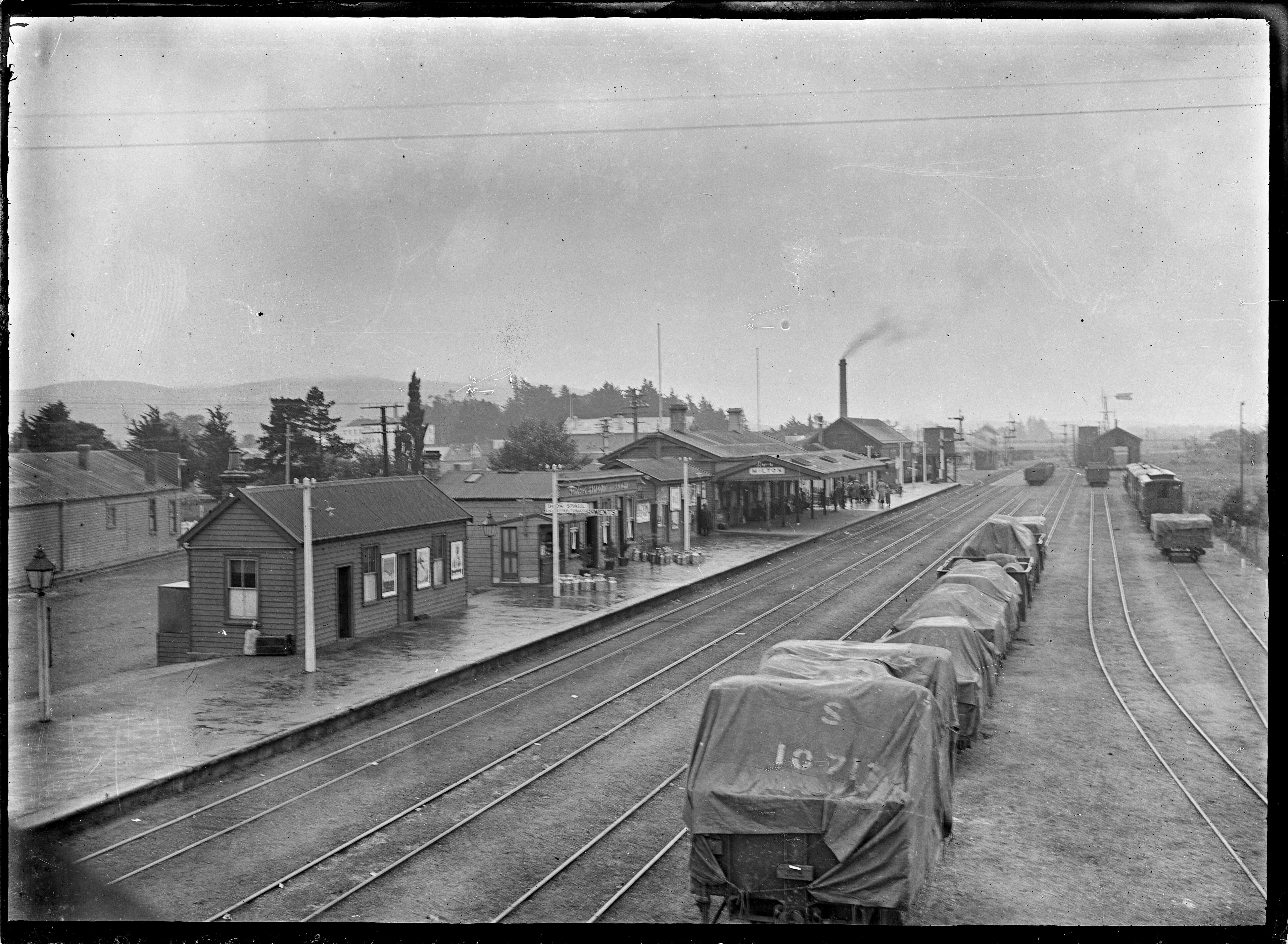
Milton, formerly known as Tokomairiro or Tokomairaro, is a town of over 2,000 people, located on State Highway 1, 50 kilometres to the south of Dunedin in Otago, New Zealand. It lies on the floodplain of the Tokomairaro River, one branch of which loops past the north and south ends of the town. This river gives its name to many local features, notably the town's only secondary school, Tokomairiro High School. Founded as a milling town in the 1850s, there has long been dispute as to the naming of the settlement. The town's streets are named for prominent British poets, and it is possible that the town's original intended name of Milltown became shortened by association with the poet of the same name. It is equally possible, however, that the name Milton inspired the choice of poets' names for the streets. History Milton's early history was strongly affected by the discovery of gold by Gabriel Read at Gabriel's Gully close to the nearby township of Lawrence. As Milton stood clo ... [...More Info...] [...Related Items...] OR: [Wikipedia] [Google] [Baidu] |


