|
Jougla Point
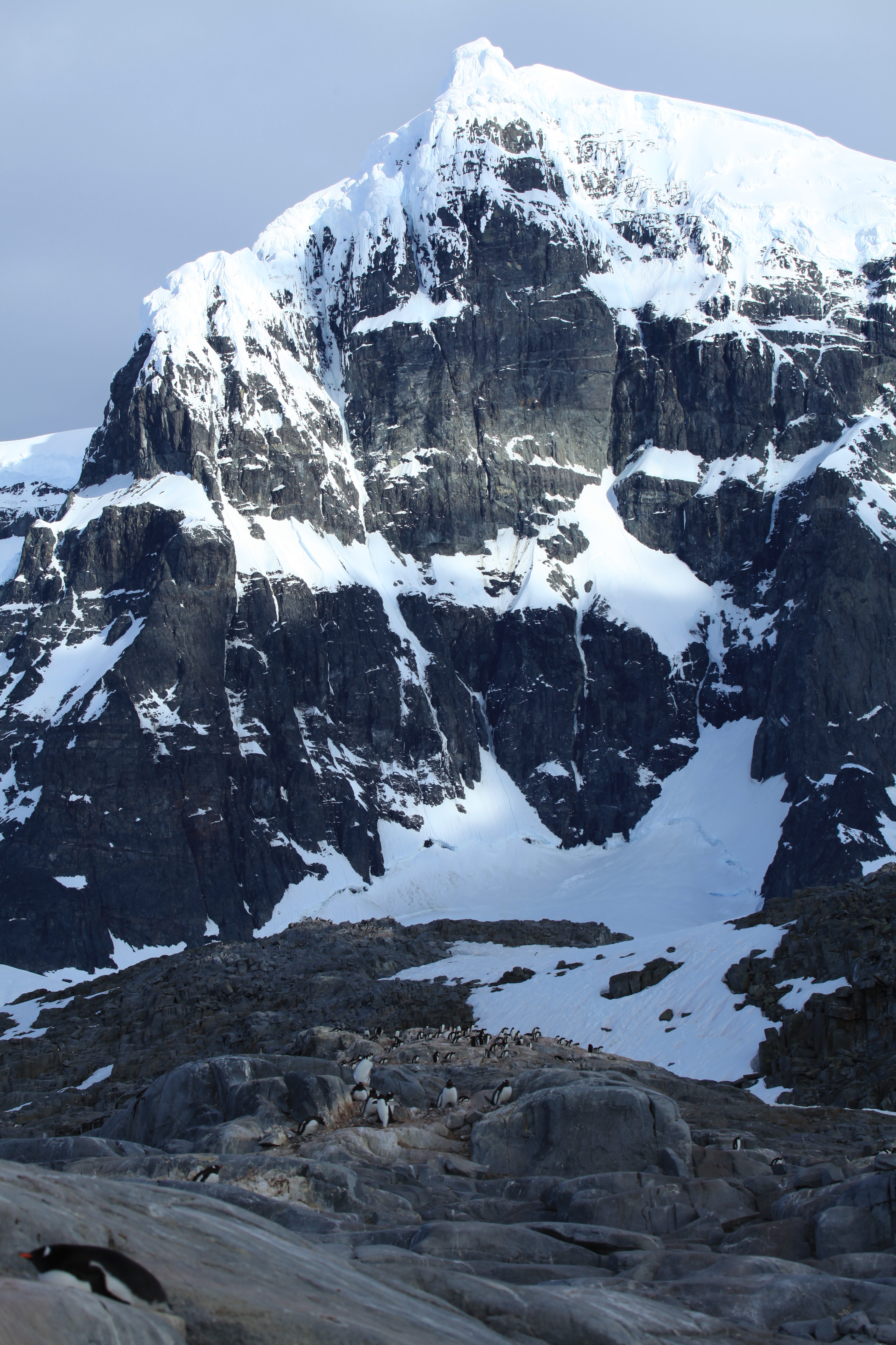
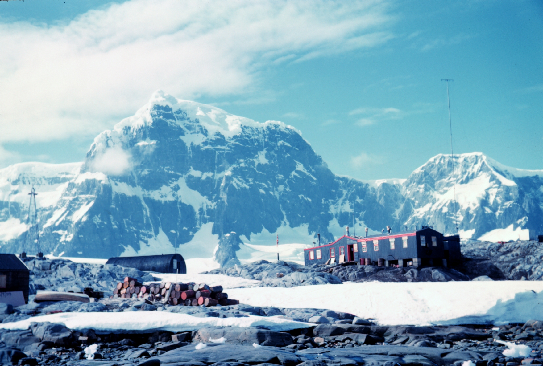
Jougla Point () is a point forming the west side of the entrance to Alice Creek in Port Lockroy, lying on the west side of Wiencke Island, in the Palmer Archipelago, Antarctica. It was discovered and named by the French Antarctic Expedition, 1903–05, under Jean-Baptiste Charcot, who considered it to be a peninsula A peninsula (; ) is a landform that extends from a mainland and is surrounded by water on most, but not all of its borders. A peninsula is also sometimes defined as a piece of land bordered by water on three of its sides. Peninsulas exist on all .... Because of its small size the term point is considered more appropriate. References External linksSecretariat of the Antarctic Treaty Visitor Guidelines and peninsula description Headlands of the Palmer Archipelago {{PalmerArchipelago-geo-stub ... [...More Info...] [...Related Items...] OR: [Wikipedia] [Google] [Baidu] |
Alice Creek
Alice Creek () is a cove forming the southernmost portion of Port Lockroy, Wiencke Island, in the Palmer Archipelago of Antarctica. It was discovered by the French Antarctic Expedition, 1903–05, under Jean-Baptiste Charcot, and named by him for the wife of Édouard Lockroy, Vice President of the French Chamber of Deputies Chamber of Deputies (french: Chambre des députés) was a parliamentary body in France in the nineteenth and twentieth centuries: * 1814–1848 during the Bourbon Restoration and the July Monarchy, the Chamber of Deputies was the lower house o ... who assisted Charcot in obtaining government support for the expedition. The most outstanding local feature is known as Knife Edge Ridge, bounding the western edge of Alice Creek, and forms the point where the glacier turns into the inner harbour region of Port Lockroy. Being composed of ice and snow, this feature changes shape and position from time to time, meaning no accurate position may be recorded. It is fo ... [...More Info...] [...Related Items...] OR: [Wikipedia] [Google] [Baidu] |
Port Lockroy
Port Lockroy is a bay forming a natural harbour on the north-western shore of Wiencke Island in the Palmer Archipelago to the west of the Antarctic Peninsula. The Antarctic base with the same name, situated on Goudier Island in this bay, includes the most southerly operational post office in the world. The base was left unstaffed from 2020 to 2022 due to the COVID-19 pandemic, though the museum house remained open to individual visits. On 4 October 2022 it was announced that a team of 4 women had been chosen to return to open the base for the summer 2022/23 season. History The bay was discovered in 1904 and named after Edouard Lockroy, a French politician and Vice President of the Chamber of Deputies, who assisted Jean-Baptiste Charcot in obtaining government funding for his French Antarctic Expedition. The harbour was used for whaling between 1911 and 1931. During World War II, the British military Operation Tabarin established the Port Lockroy Station A on tiny Goudier ... [...More Info...] [...Related Items...] OR: [Wikipedia] [Google] [Baidu] |
Wiencke Island
Wiencke Island is an island long and from wide, about in area, the southernmost of the major islands of the Palmer Archipelago, lying between Anvers Island to its north across the Neumayer Channel and the west coast of the Antarctic Peninsula to its east across the Gerlache Strait. Description The rocky island is mostly covered by glaciers, snow and ice. Some small rocky beaches lie on the western and northern sides of the island. There, some grasses, moss and lichens can be found. There are three mountain ridges, with Nemo Peak (Antarctica), Nemo Peak, high, to the north-west; Nipple Peak to the north-east; and Luigi Peak, high, to the south-west. Luigi Peak is the island's summit, despite it never having been completely surveyed. Wiencke's northernmost point is Cape Astrup, a bold, dark-colored bluff discovered by the Belgian Antarctic Expedition, 1897–99. It was named by Adrien de Gerlache for Eivind Astrup, Norway, Norwegian Arctic explorer and member of Robert ... [...More Info...] [...Related Items...] OR: [Wikipedia] [Google] [Baidu] |
Palmer Archipelago
Palmer Archipelago, also known as Antarctic Archipelago, Archipiélago Palmer, Antarktiske Arkipel or Palmer Inseln, is a group of islands off the northwestern coast of the Antarctic Peninsula. It extends from Tower Island in the north to Anvers Island in the south. It is separated by the Gerlache and Bismarck straits from the Antarctic Peninsula and Wilhelm Archipelago, respectively. Palmer Archipelago is located at . History Adrien de Gerlache, leader of the Belgian Antarctic Expedition (1897–1899), discovered the archipelago in 1898. He named it Archipelago Palmer for American Captain Nathaniel Palmer, who navigated these waters in 1820. Both Argentina and the United Kingdom The United Kingdom of Great Britain and Northern Ireland, commonly known as the United Kingdom (UK) or Britain, is a country in Europe, off the north-western coast of the continental mainland. It comprises England, Scotland, Wales and North ... have operated research stations there. Islands ... [...More Info...] [...Related Items...] OR: [Wikipedia] [Google] [Baidu] |
French Antarctic Expedition, 1903–05
The French Antarctic Expedition is any of several French expeditions in Antarctica. First expedition In 1772, Yves-Joseph de Kerguelen-Trémarec and the naturalist Jean Guillaume Bruguière sailed to the Antarctic region in search of the fabled Terra Australis. Kerguelen-Trémarec took possession of various Antarctic territories for France, including what would later be called the Kerguelen Islands. In Kerguelen-Trémarec's report to King Louis XV, he greatly overestimated the value of the Kerguelen Islands. The King sent him on a second expedition to Kerguelen in late 1773. When it became clear that these islands were desolate, useless, and not the Terra Australis, he was sent to prison. Second expedition In 1837, during an 1837–1840 expedition across the deep southern hemisphere, Captain Jules Dumont d'Urville sailed his ship ''Astrolabe'' along a coastal area of Antarctica which he later named Adélie Land, in honor of his wife. During the Antarctic part of this expedi ... [...More Info...] [...Related Items...] OR: [Wikipedia] [Google] [Baidu] |
Jean-Baptiste Charcot
Jean-Baptiste-Étienne-Auguste Charcot (15 July 1867 – 16 September 1936), born in Neuilly-sur-Seine, was a French scientist, medical doctor and polar scientist. His father was the neurologist Jean-Martin Charcot (1825–1893). Life Jean-Baptiste Charcot was appointed leader of the French Antarctic Expedition with the ship ''Français'' exploring the west coast of Graham Land from 1904 until 1907. The expedition reached Adelaide Island in 1905 and took pictures of the Palmer Archipelago and Loubet Coast. From 1908 until 1910, another expedition followed with the ship '' Pourquoi Pas ?'', exploring the Bellingshausen Sea and the Amundsen Sea and discovering Loubet Land, Marguerite Bay, Mount Boland and Charcot Island, which was named after his father, Jean-Martin Charcot. anhere./ref> He named Hugo Island after Victor Hugo, the grandfather of his wife, Jeanne Hugo. Later on, Jean-Baptiste Charcot explored Rockall in 1921 and Eastern Greenland and Svalbard from 1925 until 1 ... [...More Info...] [...Related Items...] OR: [Wikipedia] [Google] [Baidu] |
Peninsula
A peninsula (; ) is a landform that extends from a mainland and is surrounded by water on most, but not all of its borders. A peninsula is also sometimes defined as a piece of land bordered by water on three of its sides. Peninsulas exist on all continents. The size of a peninsula can range from tiny to very large. The largest peninsula in the world is the Arabian Peninsula. Peninsulas form due to a variety of causes. Etymology Peninsula derives , which is translated as 'peninsula'. itself was derived , or together, 'almost an island'. The word entered English in the 16th century. Definitions A peninsula is usually defined as a piece of land surrounded on most, but not all sides, but is sometimes instead defined as a piece of land bordered by water on three of its sides. A peninsula may be bordered by more than one body of water, and the body of water does not have to be an ocean or a sea. A piece of land on a very tight river bend or one between two rivers is sometimes s ... [...More Info...] [...Related Items...] OR: [Wikipedia] [Google] [Baidu] |


