|
Iwate Asahi Television
, also known as IAT, is a Japanese broadcast network affiliated with the ANN. Their headquarters are located in Morioka, Iwate Prefecture. History A license to operate a fourth television station in Iwate Prefecture was established on 19 June 1995. The company that was awarded that license, known as Iwate Asahi Television (founded 21 June 1995), began construction on the station a month later. JOIY-TV began operations on 1 October 1996, seven days after conducting its first transmission tests. Before the station began operations, Iwate Prefecture was the only area of northeastern Japan that lacked a full affiliate of the All-Nippon News Network (ANN, which in general is an affiliation with TV Asahi). JODF-TV and JOII-TV functioned as secondary affiliates of ANN (formerly NET) between the early 1970s and the fall of 1996. The Asahi network's full schedule was available on some local cable television providers via JOEM-TV (from Sendai), which was receivable over the air in portions ... [...More Info...] [...Related Items...] OR: [Wikipedia] [Google] [Baidu] |
Morioka
is the capital city of Iwate Prefecture located in the Tōhoku region of northern Japan. On 1 February 2021, the city had an estimated population of 290,700 in 132,719 households, and a population density of . The total area of the city is . Geography Morioka is located in the in central Iwate Prefecture, at the confluence of three rivers, the Kitakami, the Shizukuishi and the Nakatsu. The Kitakami River is the second largest river on the Pacific side of Japan (after the Tone River) and the longest in the Tōhoku region. It runs through the city from north to south and has a number of dams within the city boundaries, including the Shijūshida Dam and Gandō Dam. An active volcano, Mount Iwate, dominates the view to the northwest of the city. Mount Himekami is to the north and Mount Hayachine can sometimes be seen to the southeast. Surrounding municipalities Iwate Prefecture *Hanamaki * Hachimantai * Takizawa * Miyako *Shizukuishi * Kuzumaki * Shiwa *Yahaba * Iwaizumi Demo ... [...More Info...] [...Related Items...] OR: [Wikipedia] [Google] [Baidu] |
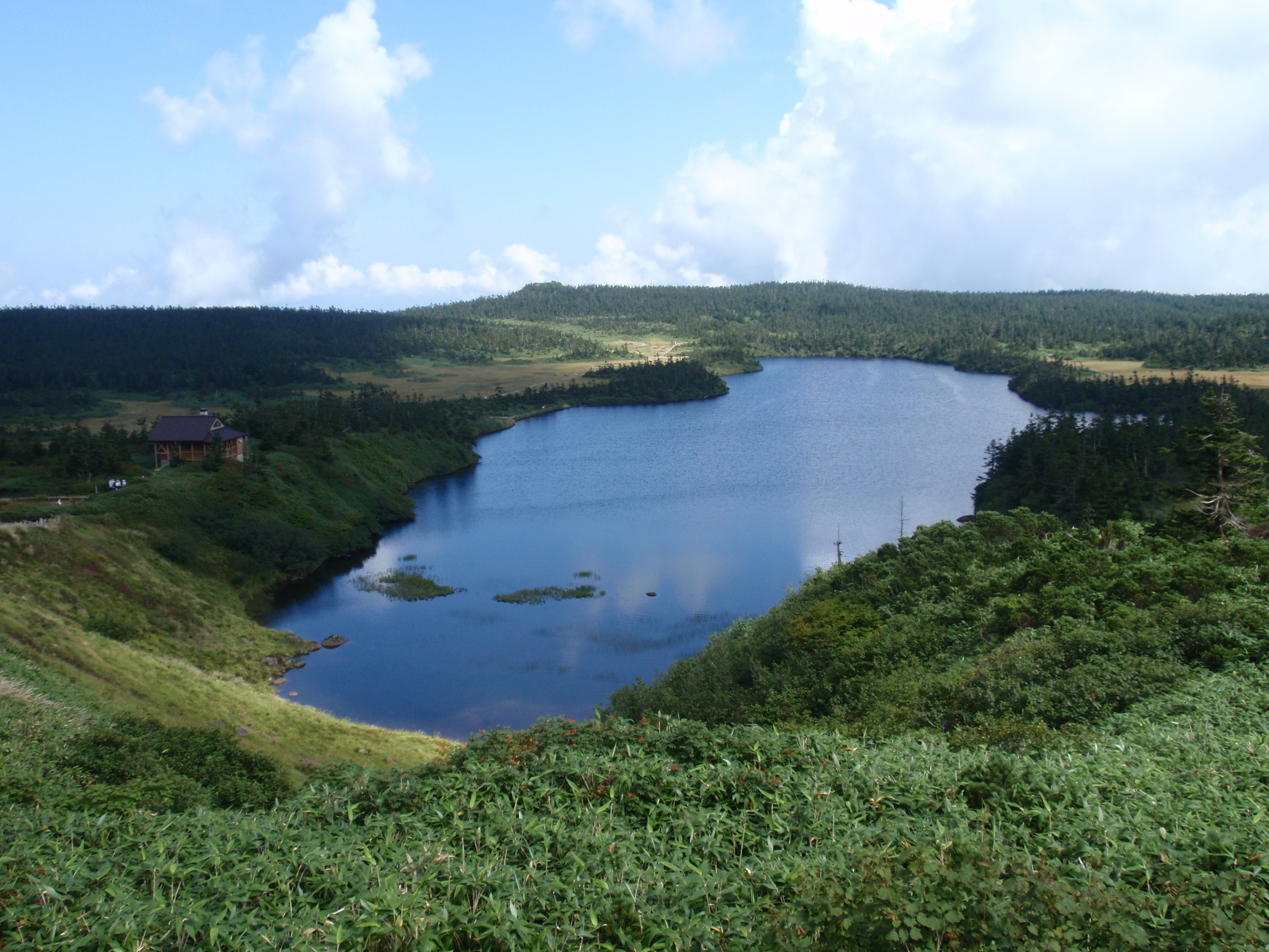
Hachimantai, Iwate
is a city located in Iwate Prefecture, Japan. , the city had an estimated population of 25,076, and a population density of 29 persons per km2 in 10,531 households. The total area of the city is . Geography Hachimantai is located in the Ōu Mountains of far northwest Iwate Prefecture, bordered by Aomori Prefecture to the north and Akita Prefecture to the west. The headwaters of the Yoneshiro River are in Hachimanai. Part of Mount Hachimantai and Mount Iwate are within its borders. Parts of the city are within the borders of the Towada-Hachimantai National Park. Mount Iwate, the highest mountain in Iwate Prefecture, is on the border of Hachimantai with Shizukuishi and Takizawa. Neighboring municipalities Aomori Prefecture *Takko Akita Prefecture *Kazuno * Semboku Iwate Prefecture *Morioka * Ninohe * Takizawa * Ichinohe * Iwate *Shizukuishi Climate Hachimantai has a humid continental climate (Köppen climate classification ''Dfa''), the same as much of Hokkaido to the north, cha ... [...More Info...] [...Related Items...] OR: [Wikipedia] [Google] [Baidu] |
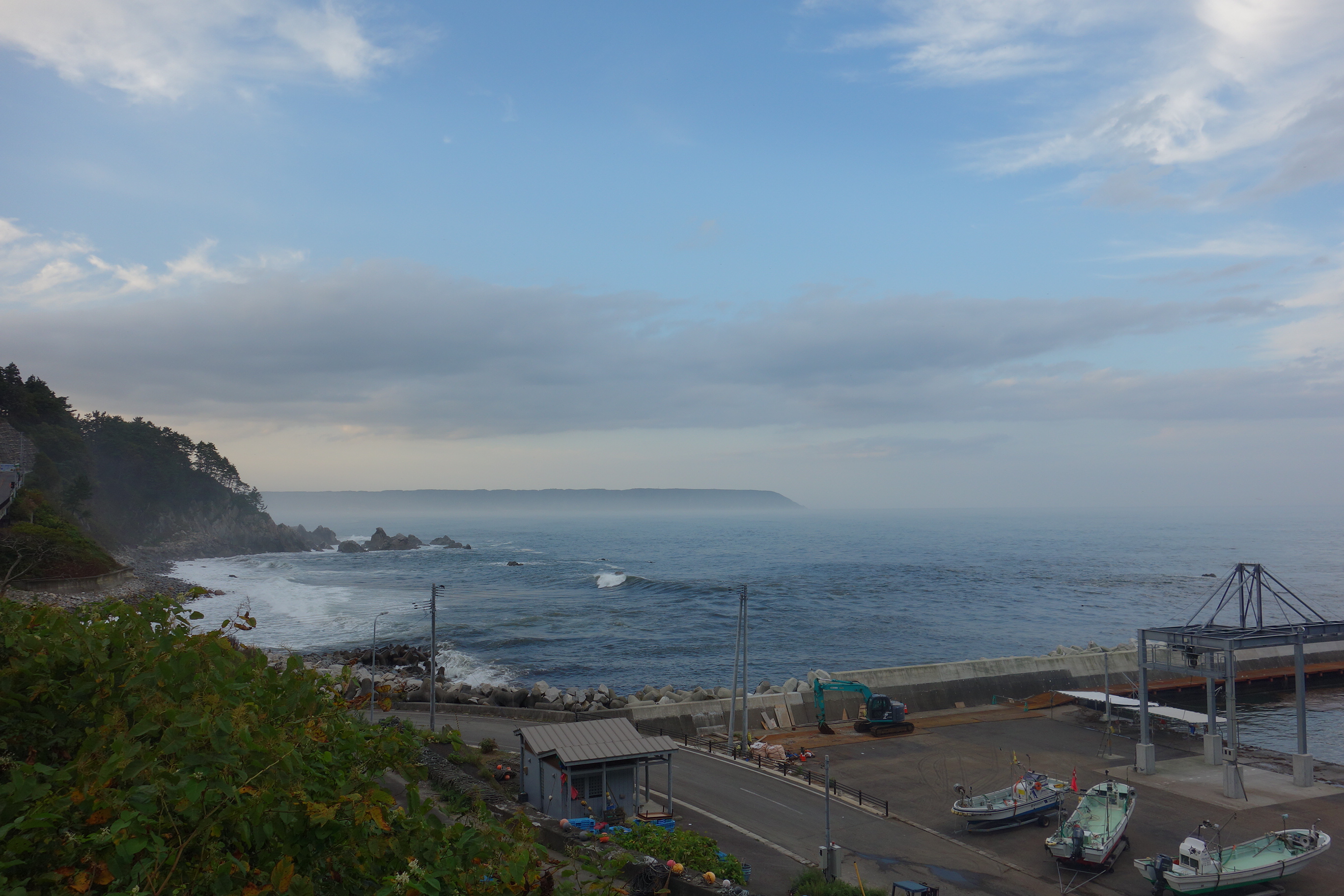
Noda, Iwate
is a village located in Iwate Prefecture, Japan. , the village had an estimated population of 4,201, and a population density of 52 persons per km² in 1660 households. The total area of the village is . Geography Noda is located in far northeastern Iwate Prefecture, bordered by the Pacific Ocean to the east. The western portion of the village is within the Kitakami Mountains. Parts of the coastline of Noda are within the borders of the Sanriku Fukkō National Park. Neighboring municipalities Iwate Prefecture *Kuji * Iwaizumi * Fudai Climate Noda has a cold oceanic climate (Köppen climate classification ''Cfb'') characterized by mild summers and cold winters with heavy snowfall. The average annual temperature in Noda is 8.7 °C. The average annual rainfall is 1273 mm with September as the wettest month and February as the driest month. The temperatures are highest on average in August, at around 21.4 °C, and lowest in January, at around -2.9 °C. Demogra ... [...More Info...] [...Related Items...] OR: [Wikipedia] [Google] [Baidu] |
Ōshū, Iwate
is a city located in Iwate Prefecture, Japan. , the city had an estimated population of 114,620 and a population density of 120 persons per km² in 45,728 households. The total area of the city is . Ōshū is famous for its Maesawa Beef, numerous festivals, historic temples and shrines and Fujiwara no Sato, a theme park and movie lot based on the exploits of the Northern Fujiwaras in the 12th century. Many famous people claim Ōshū as their home, including Ichiro Ozawa, the long-time leader of the Democratic Party of Japan. Geography Ōshū is located in the south-central portion of Iwate Prefecture, bordered by the Akita Prefecture to the west. At 993.35 square kilometers, Ōshū is the second largest municipality in Iwate Prefecture in terms of land area. The city lies in a fertile plain straddling the Kitakami River and rises to the Ōu Mountains in the west and the Kitakami Mountains to the east. The city's highest point is Mt. Yakeishi-dake at 1,548 meters in the Ōu Moun ... [...More Info...] [...Related Items...] OR: [Wikipedia] [Google] [Baidu] |
Rikuzentakata, Iwate
is a city located in Iwate Prefecture, Japan. In the census of 2010, the city had a population of 23,302 (2005: 24,709), and a population density of 100 persons per km². The 2011 Tōhoku earthquake and tsunami caused extensive damage to the city. , the city had an estimated population of 19,062, and a population density of 82 persons per km² in 7,593 households. The total area of the city is . Geography Rikuzentakata is located in the far southeast corner of Iwate Prefecture, bordered by the Pacific Ocean to the east. The city contained Lake Furukawanuma until the 2011 tsunami destroyed it. Parts of the coastal area of the city are within the borders of the Sanriku Fukkō National Park. Neighboring municipalities Iwate Prefecture * Ōfunato * Ichinoseki * Sumita Miyagi Prefecture * Kesennuma Climate Rikuzentakata has a humid climate (Köppen climate classification ''Cfa'') bordering on an oceanic climate (Köppen climate classification ''Cfb'') with warm summers and cold ... [...More Info...] [...Related Items...] OR: [Wikipedia] [Google] [Baidu] |
Iwaizumi, Iwate
is a town located in Iwate Prefecture, Japan. , the town had an estimated population of 8,987, and a population density of 9.1 persons per km² in 4366 households. The total area of the town is . Geography Iwaizumi is in the Kitakami Mountains of northeast Iwate prefecture, east of the prefectural capital of Morioka. It has a small coastline on the Pacific Ocean to the east. The area has numerous limestone caves, including the Ryūsendō. Neighboring municipalities Iwate Prefecture *Morioka *Kuji * Miyako * Fudai * Tanohata * Kuzumaki *Noda Climate Iwaizumi has a humid climate (Köppen climate classification ''Cfa'') characterized by mild summers and cold winters with heavy snowfall. The average annual temperature in Iwaizumi is 9.5 °C. The average annual rainfall is 1283 mm with September as the wettest month and February as the driest month. The temperatures are highest on average in August, at around 22.3 °C, and lowest in January, at around −2.0 ... [...More Info...] [...Related Items...] OR: [Wikipedia] [Google] [Baidu] |
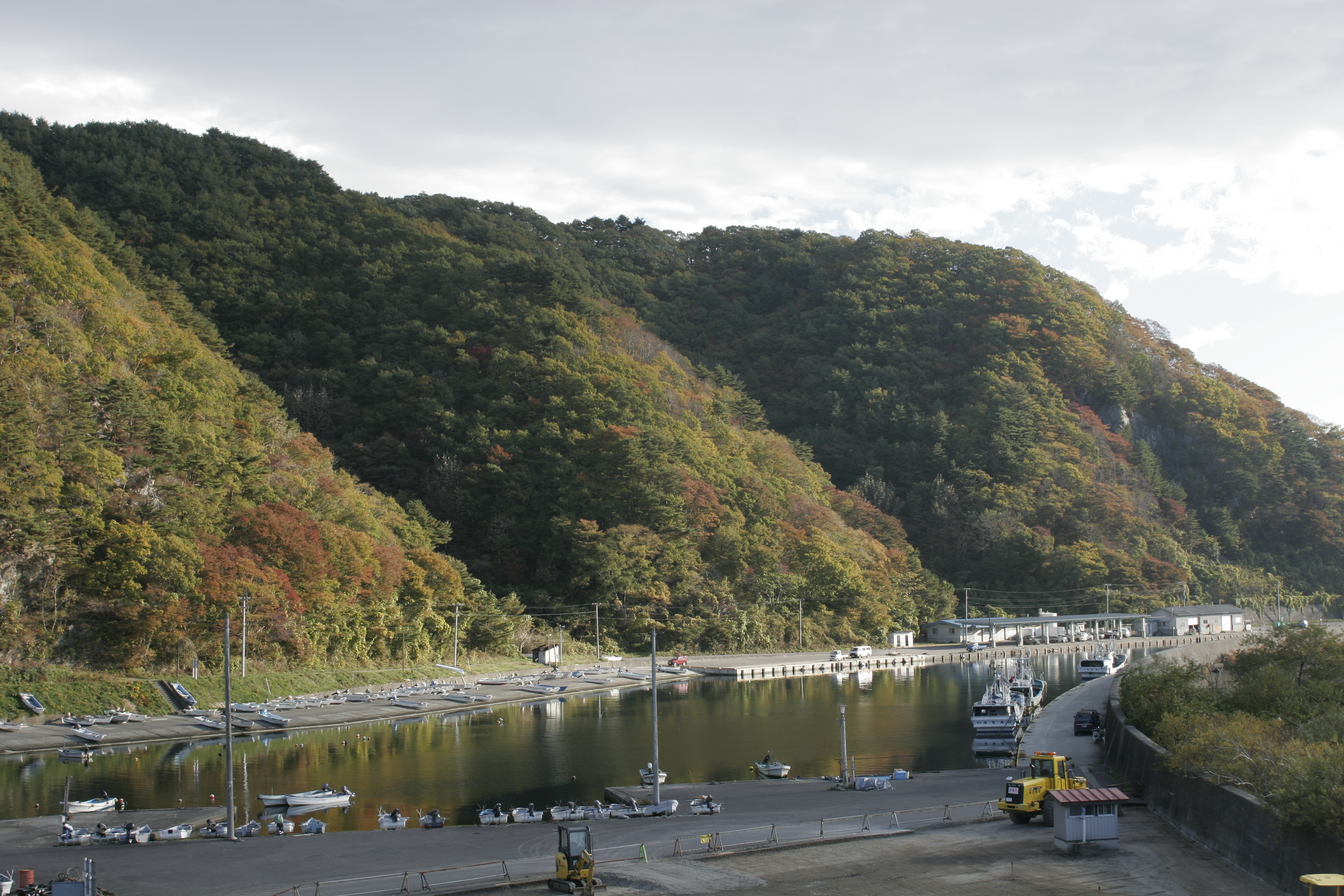
Yamada, Iwate
is a town in Iwate Prefecture, Japan. , the town had an estimated population of 15,195 and a population density of 58 persons per km², in 6,554 households. The total area of the town is . Geography Yamada is located on the ria coastline of central Iwate Prefecture, facing the Pacific Ocean on the northern part of Funakoshi Bay and Yamada Bay. The Sekiguchi River and Ogasa River empty into Yamada Bay, and Yamada Port is located slightly south of the mouth of the Sekiguchi River, with train stations, government offices, hospitals, etc. concentrated in this vicinity. Parts of the town are within the borders of the Sanriku Fukkō National Park. Neighbouring municipalities Iwate Prefecture * Miyako *Ōtsuchi Climate Yamada has an oceanic climate (Köppen ''Cfb'') characterized by mild summers and cold winters. The average annual temperature in Yamada is 9.2 °C. The average annual rainfall is 1415 mm with September as the wettest month and February as the driest month. T ... [...More Info...] [...Related Items...] OR: [Wikipedia] [Google] [Baidu] |
Ichinoseki, Iwate
is a city located in Iwate Prefecture, in the Tōhoku region of northern Japan. , the city had a population of 114,476 and a population density of 91 persons per km² in 46,375 households. It is currently the second largest city by population in the prefecture, after Morioka. The total area of the city was . Geography Ichinoseki is located inland in the south of Iwate Prefecture, a little over two hours north of Tokyo by the Tōhoku Shinkansen. A large volume of extremely stable granite rock runs beneath the city, and is the center of the site is being promoted as a suitable location for construction of the International Linear Collider (ILC). Neighboring municipalities Iwate Prefecture *Ōshū *Rikuzentakata * Sumita *Hiraizumi Miyagi Prefecture *Kesennuma *Kurihara * Tome Akita Prefecture * Higashinaruse Climate Ichinoseki has a humid climate (Köppen climate classification ''Cfa'') with warm summers and cold winters. The average annual temperature in Ichinoseki is 10.9 ... [...More Info...] [...Related Items...] OR: [Wikipedia] [Google] [Baidu] |
Kamaishi, Iwate
is a city located on the Sanriku rias coast in Iwate Prefecture, Japan. , the city had an estimated population of 32,609, and a population density of 74 persons per km2, in 16,230 households. The total area of the city is Geography Kamaishi is located in the Kitakami Mountains of south-central Iwate Prefecture, with the Pacific Ocean to the east. The spectacular, rugged coast of Kamaishi is entirely within the Sanriku Fukkō National Park. There are four large bays, Ōtsuchi Bay in the north, Ryōishi Bay, Kamaishi Bay and Tōni Bay in the south. Each is separated by large, rocky, pine-covered peninsulas which jut out into the Pacific Ocean. Immediately the rocky cliffs develop into hills rising to along the coast and farther inland. The highest point in Kamaishi is Mount Goyōzan in the southwest at 1,341.3 meters in elevation. Most of the land is mountainous, allowing for little agriculture. The main rivers are the Kasshigawa River which empties into Kamaishi Bay and the Un ... [...More Info...] [...Related Items...] OR: [Wikipedia] [Google] [Baidu] |


