|
Isfia
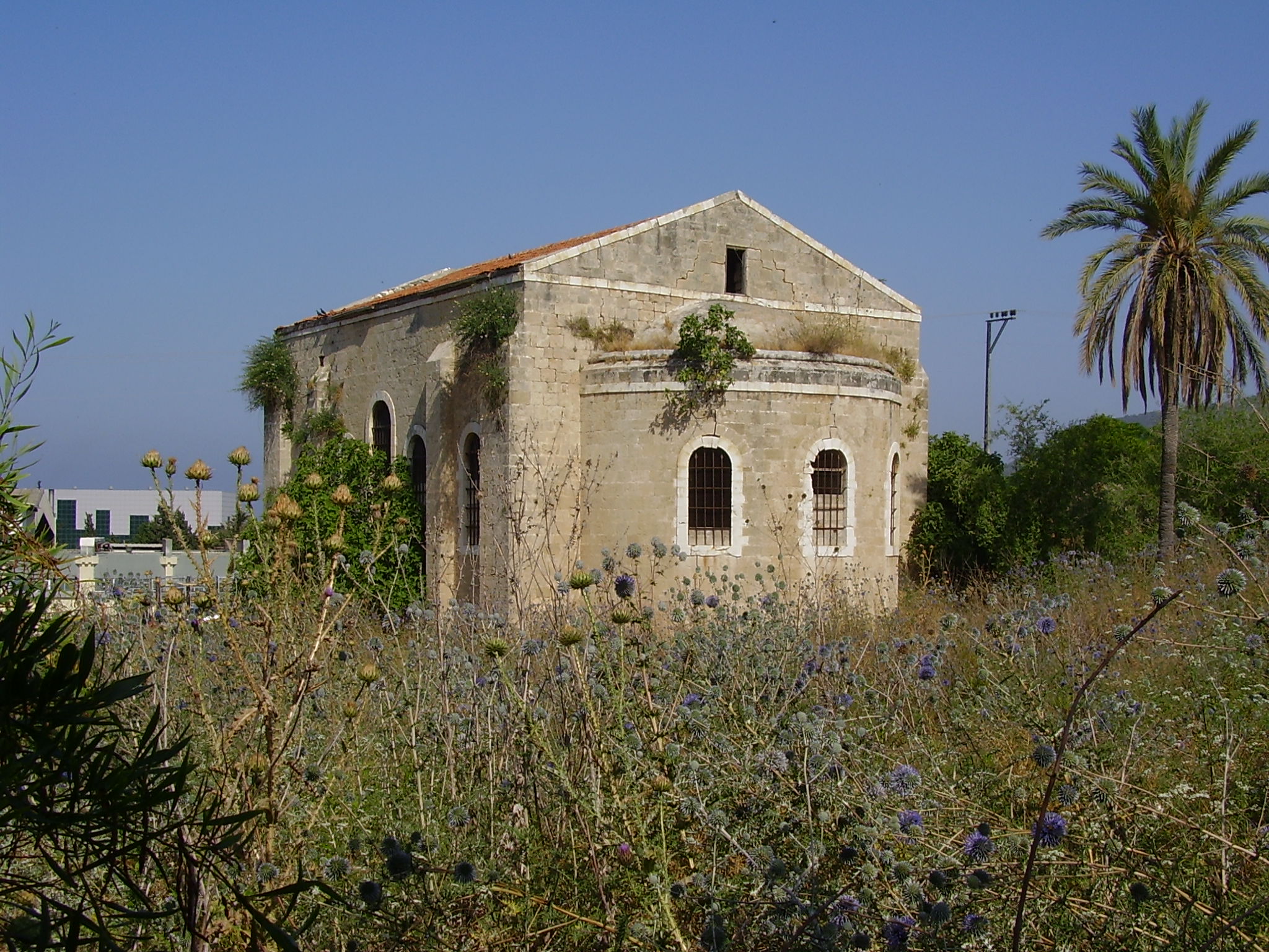
Isfiya ( ar, عسفيا, he, עִסְפִיָא), also known as Ussefiya or Usifiyeh, is a Druze-majority town and local council in northern Israel. Located on Mount Carmel, it is part of Haifa District. In its population was 12,136. In 2003, the local council was merged with nearby Daliyat al-Karmel to form Carmel City. However, the new city was dissolved in 2008 and the two villages resumed their independent status. History Late Roman and Byzantine periods Isfiya was built on the ruins of an ancient settlement. A building, dating from the second–fourth centuries CE has been excavated, together with ceramics and coins dating from the period. In 1930, remains of a 5th-century Jewish town, Husifah or Huseifa, were unearthed in Isfiya. Among the finds are a synagogue with a mosaic floor bearing Jewish symbols and the inscription "Peace upon Israel". A cache of 4,500 gold coins were found dating from the Roman period. In 1870, the French explorer Victor Guérin found that t ... [...More Info...] [...Related Items...] OR: [Wikipedia] [Google] [Baidu] |
Local Council (Israel)
Local councils (Hebrew language, Hebrew: plural: ''Mo'atzot Mekomiot'' / singular: ''Mo'atza Mekomit,'' Arabic: plural: مجالس محليّة ''Majalis Mahaleea /'' singular: مجلس محلّي ''Majlis Mahalee'') are one of the three types of local government found in Israel, the other two being list of cities in Israel, cities and Regional council (Israel), regional councils. There are 124 local councils in Israel. Local councils should not be confused with Local committee (Israel), local committees, which are lower-level administrative entities. History Local council status is determined by passing a minimum threshold, enough to justify operations as independent municipal units, although not large enough to be declared a city. In general this applies to all settlements of over 2,000 people. The Israeli Interior Minister of Israel, Interior Minister has the authority of deciding whether a locality is fit to become a municipal council (a city council (Israel), city). The mi ... [...More Info...] [...Related Items...] OR: [Wikipedia] [Google] [Baidu] |
Qalawun
( ar, قلاوون الصالحي, – November 10, 1290) was the seventh Bahri Mamluk sultan; he ruled Egypt from 1279 to 1290. He was called (, "Qalāwūn the Victorious"). Biography and rise to power Qalawun was a Kipchak, ancient Turkic people that have since been absorbed into modern Kazakh people, from the Burj Oghlu tribe, who became a mamluk (slave soldier) in the 1240s after being sold to a member of Sultan al-Kamil's household. Qalawun was known as ''al-Alfī'' ("the Thousander"), because as-Salih Ayyub bought him for a thousand dinars of gold. Qalawun initially barely spoke Arabic, but he rose in power and influence and became an emir under Sultan Baibars, whose son, al-Said Barakah, was married to Qalawun's daughter. Baibars died in 1277 and was succeeded by Barakah. In early 1279, as Barakah and Qalawun invaded the Armenian Kingdom of Cilicia, there was a revolt in Egypt that forced Barakah to abdicate upon his return home. He was succeeded by his brother Solami ... [...More Info...] [...Related Items...] OR: [Wikipedia] [Google] [Baidu] |
Metula
Metula ( he, מְטֻלָּה) is a town in the Northern District of Israel. Metula is located next to the northern border with Lebanon. In it had a population of . Metula is the northernmost town in Israel. History Bronze and Iron Age Metula is located near the sites of the biblical cities of Dan, Abel Bet Ma'akha, and Ijon. Roman and Byzantine periods A settlement existed in the area in the Roman and Byzantine periods. Ancient wine presses and a mosaic pavement have been found here.Dauphin, 1998, p. 641 A tomb excavated in 1967 contained at least four graves dating from between the late third century and the late sixth century. Ottoman period The origin of the town's name is ar, المطلة, al-Muṭallah, the lookout. In 1816, the traveller Buckingham visited "a large village, called Metully, altogether inhabited by Druses". In 1875, Victor Guérin described Methelleh or Metelleh as a village with a spring, occupied by Druzes from the Hauran who cultivated a garden to ... [...More Info...] [...Related Items...] OR: [Wikipedia] [Google] [Baidu] |
Moshava
A moshava ( he, מושבה, plural: ''moshavot'' , lit. ''colony'') was a form of rural Jewish settlement in Ottoman Palestine, established by the members of the Old Yishuv since late 1870s and during the first two waves of Jewish Zionist immigration – the First and Second Aliyah. History In a moshava, as opposed to later communal settlements like the kibbutz and the moshav (plural ''moshavim''), all the land and property are privately owned. The first moshavot were established by the members of the Jewish community already living in, and by pioneers of the First Aliyah arriving to, Ottoman Palestine. The economy of the early moshavot was based on agriculture and resembled the grain-growing villages of eastern Europe in layout. Farms were established along both sides of a broad main street. Petah Tikva, known as the "Mother of the Moshavot" (''Em HaMoshavot''), was founded in 1878 by members of the Old Yishuv, as well as Gai Oni, which later became Rosh Pinna with the arr ... [...More Info...] [...Related Items...] OR: [Wikipedia] [Google] [Baidu] |
Drainage Divide
A drainage divide, water divide, ridgeline, watershed, water parting or height of land is elevated terrain that separates neighboring drainage basins. On rugged land, the divide lies along topographical ridges, and may be in the form of a single range of hills or mountains, known as a dividing range. On flat terrain, especially where the ground is marshy, the divide may be difficult to discern. A triple divide is a point, often a summit, where three drainage basins meet. A ''valley floor divide'' is a low drainage divide that runs across a valley, sometimes created by deposition or stream capture. Major divides separating rivers that drain to different seas or oceans are continental divides. The term ''height of land'' is used in Canada and the United States to refer to a drainage divide. It is frequently used in border descriptions, which are set according to the "doctrine of natural boundaries". In glaciated areas it often refers to a low point on a divide where it is ... [...More Info...] [...Related Items...] OR: [Wikipedia] [Google] [Baidu] |
PEF Survey Of Palestine
The PEF Survey of Palestine was a series of surveys carried out by the Palestine Exploration Fund (PEF) between 1872 and 1877 for the Survey of Western Palestine and in 1880 for the Survey of Eastern Palestine. The survey was carried out after the success of the Ordnance Survey of Jerusalem by the newly-founded PEF, with support from the War Office. Twenty-six sheets were produced for "Western Palestine" and one sheet for "Eastern Palestine". It was the first fully scientific mapping of Palestine. Besides being a geographic survey the group collected thousands of place names with the objective of identifying Biblical, Talmudic, early Christian and Crusading locations. The survey resulted in the publication of a map of Palestine consisting of 26 sheets, at a scale of 1:63,360, the most detailed and accurate map of Palestine published in the 19th century. The PEF survey represented the peak of the cartographic work in Palestine in the nineteenth century. Although the holiness of Pa ... [...More Info...] [...Related Items...] OR: [Wikipedia] [Google] [Baidu] |
Palestine Exploration Fund
The Palestine Exploration Fund is a British society based in London. It was founded in 1865, shortly after the completion of the Ordnance Survey of Jerusalem, and is the oldest known organization in the world created specifically for the study of the Levant region, also known as Palestine. Often simply known as the PEF, its initial objective was to carry out surveys of the topography and ethnography of Ottoman Palestine – producing the PEF Survey of Palestine – with a remit that fell somewhere between an expeditionary survey and military intelligence gathering. It had a complex relationship with Corps of Royal Engineers, and its members sent back reports on the need to salvage and modernise the region.Ilan Pappé (2004) A history of modern Palestine: one land, two peoples Cambridge University Press, pp 34-35 History Following the completion of the Ordnance Survey of Jerusalem, the Biblical archaeologists and clergymen who supported the survey financed the creation of t ... [...More Info...] [...Related Items...] OR: [Wikipedia] [Google] [Baidu] |
Greek Orthodox Church Of Jerusalem
The Greek Orthodox Patriarchate of Jerusalem, el, Πατριαρχεῖον Ἱεροσολύμων, ''Patriarcheîon Hierosolýmōn;'' he, הפטריארכיה היוונית-אורתודוקסית של ירושלים; ar, كنيسة الروم الأرثوذكس في القدس, translit=Kanīsat ar-Rūm al-ʾUrṯūḏuks fī 'l-Quds, lit=Church of the Orthodox Rūm in Jerusalem also known as the Greek Orthodox Church of Jerusalem, and sometimes known as the Church of Zion,Greek: Σιωνίτις Εκκλησία is an autocephalous church within the wider communion of Eastern Orthodox Christianity. Established in the mid-fifth century as one of the oldest patriarchates in Christendom, it is headquartered in the Church of the Holy Sepulchre in Jerusalem and led by the Patriarch of Jerusalem, currently Theophilos III. The Patriarchate's ecclesiastical jurisdiction includes roughly 200,000 to 500,000 Orthodox Christians across the Holy Land of Israel, Palestine, and Jordan ... [...More Info...] [...Related Items...] OR: [Wikipedia] [Google] [Baidu] |
Victor Guérin
Victor Guérin (15 September 1821 – 21 Septembe 1890) was a French intellectual, explorer and amateur archaeologist. He published books describing the geography, archeology and history of the areas he explored, which included Greece, Asia Minor, North Africa, Lebanon, Syria and Palestine. Biography Guérin, a devout Catholic, graduated from the ''École normale supérieure'' in Paris in 1840. After graduation, he began working as a teacher of rhetoric and member of faculty in various colleges and high schools in France, then in Algeria in 1850, and 1852 he became a member of the French School of Athens. While exploring Samos, he identified the spring that feeds the Tunnel of Eupalinos and the beginnings of the channel. His doctoral thesis of 1856 dealt with the coastal region of Palestine, from Khan Yunis to Mount Carmel. With the financial help of Honoré Théodoric d'Albert de Luynes he was able to explore Greece and its islands, Asia Minor, Egypt, Nubia, Tunisia, and the Le ... [...More Info...] [...Related Items...] OR: [Wikipedia] [Google] [Baidu] |
Al-Bassa
al-Bassa' ( ar, البصة) was a Palestinians, Palestinian Arab village in the Mandatory Palestine's Acre Subdistrict, Mandatory Palestine, Acre Subdistrict. It was situated close to the Blue Line (Lebanon), Lebanese border, north of the district capital, Acre (city), Acre, and above sea level. The village was stormed by Haganah troops in May 1948 and almost completely razed. Its residents were either internally displaced Palestinians, internally displaced or expelled to neighboring countries. Etymology Adolf Neubauer "proposed to identify this place with the Bezet, Batzet of the Talmud". It was called ''Bezeth'' during the Roman empire, Roman period, and its Arabic name is ''al-Basah''.Michael Avi-Yonah, Avi Yonah, 1976, p. 42. Cited in Khalidi, 1992, p. 6 In the period of Crusades, Crusader rule in Palestine, it was known as ''Le Bace'' or ''LeBassa''.Pringle, 1997, p. 116/ref> Imad ad-Din al-Isfahani (d. 1201), a chronicler and advisor to Saladin, referred to the village ... [...More Info...] [...Related Items...] OR: [Wikipedia] [Google] [Baidu] |
Sheikh
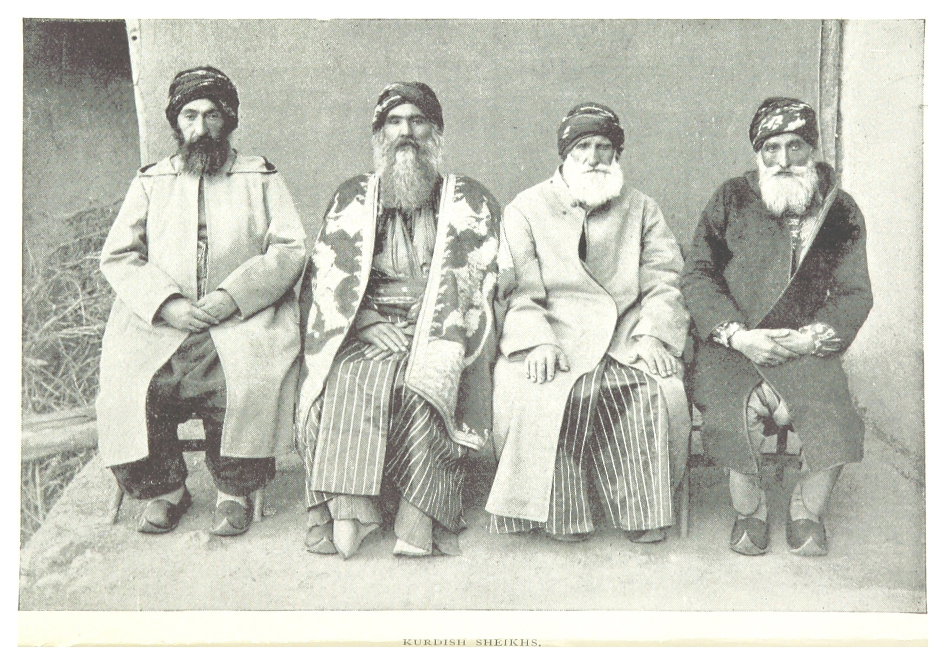
Sheikh (pronounced or ; ar, شيخ ' , mostly pronounced , plural ' )—also transliterated sheekh, sheyikh, shaykh, shayk, shekh, shaik and Shaikh, shak—is an honorific title in the Arabic language. It commonly designates a chief of a tribe or a royal family member in Arabian countries, in some countries it is also given to those of great knowledge in religious affairs as a surname by a prestige religious leader from a chain of Sufi scholars. It is also commonly used to refer to a Muslim religious scholar. It is also used as an honorary title by people claiming to be descended from Hasan ibn Ali and Husayn ibn Ali both patrilineal and matrilineal who are grandsons of the Islamic prophet Muhammad. The term is literally translated to " Elder" (is also translated to "Lord/Master" in a monarchical context). The word 'sheikh' is mentioned in the 23rd verse of Surah Al-Qasas in the Quran. Etymology and meaning The word in Arabic stems from a triliteral root connected with a ... [...More Info...] [...Related Items...] OR: [Wikipedia] [Google] [Baidu] |


.jpg)


