|
Iowa State Highway 148
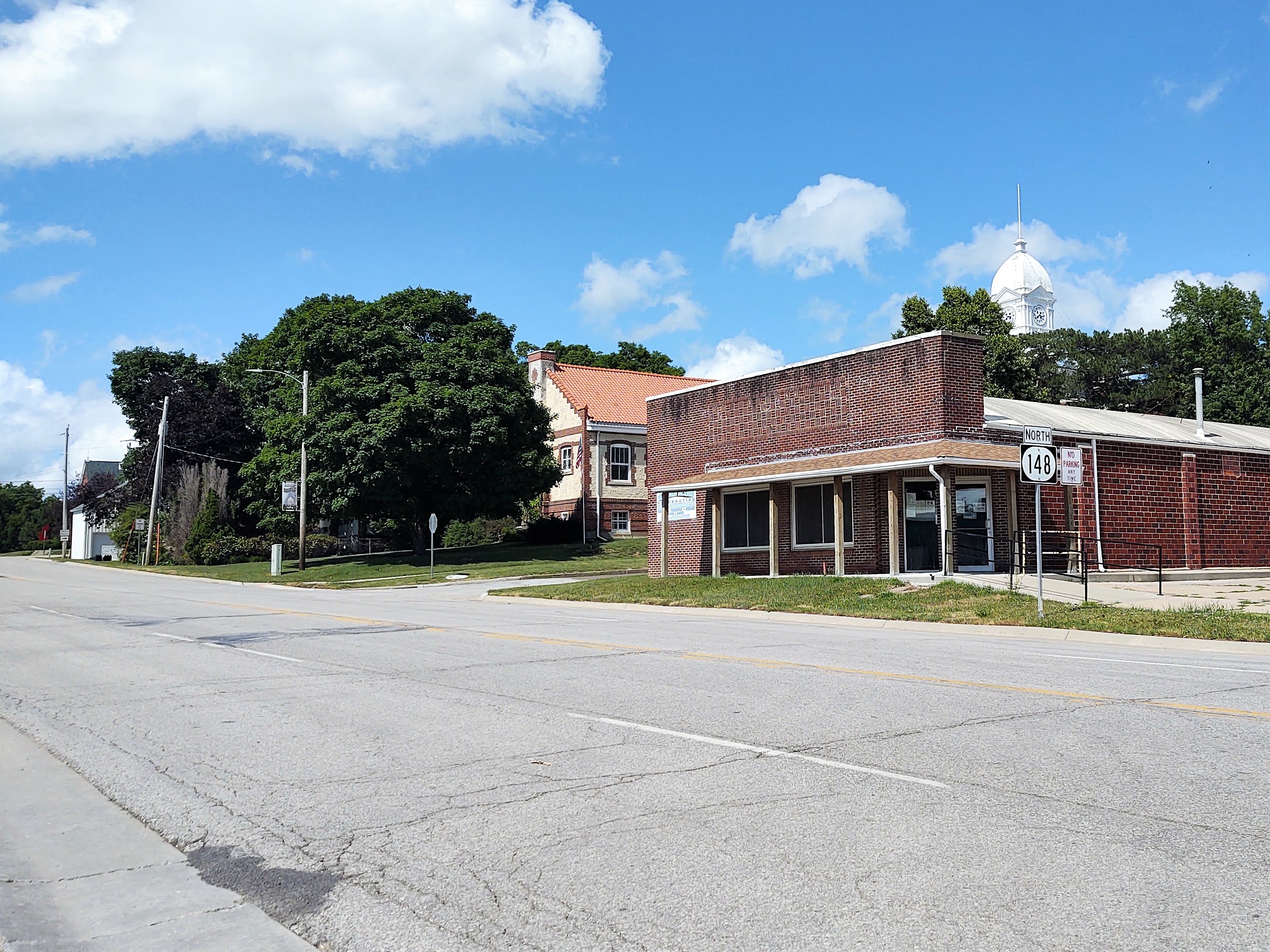
Iowa Highway 148 (Iowa 148) is a highway which runs in a north–south direction in southwestern Iowa. It has a length of . The southern end of Iowa Highway 148 is at the Missouri border southwest of Bedford and just northeast of Hopkins, Missouri. The highway continues south into Missouri as Missouri Route 148. The northern end of Iowa 148 is at Interstate 80 (I-80) and U.S. Highway 6 (US 6) north of Anita. Route description Iowa 148 begins as a continuation of Route 148 northeast of Hopkins, Missouri. Between Hopkins and Bedford, the highway heads northeast, running parallel to the east fork of the One Hundred and Two River. At Bedford, the river goes east around the city while the highway turns north into town. For one-quarter mile, Iowa 148 overlaps Iowa 2, from Madison Street to Bent Street. The route heads due north from Bedford, but jogs to the west near Lake of Three Fires State Park, but returns to a due-north course near Gravity. ... [...More Info...] [...Related Items...] OR: [Wikipedia] [Google] [Baidu] |
Hopkins, Missouri
Hopkins is a city in northern Nodaway County, Missouri, United States. The population was 532 at the 2010 Census. History Hopkins was laid out in 1870. The community has the name of A.L. Hopkins of the Kansas City, St. Joseph and Council Bluffs Railroad. The railroad later became the Chicago, Burlington and Quincy and finally the Burlington Northern before tracks were remove in 1983. A post office called Hopkins has been in operation since 1871. Occult writer Grant Wallace was born in Hopkins in 1867. The Hopkins Tornado of 1881 is believed to have been one of the first recorded F5 tornadoes. On Sunday afternoon November 16, 1952, Hopkins was struck by a tornado which greatly damaged the downtown business district. Mary Jane Truman, sister of Harry S Truman, had appeared in the community almost to the day a year earlier. She contacted her brother who was on a yacht. Hopkins was the first town in the United States of under 1,000 people to receive federal disaster relief ... [...More Info...] [...Related Items...] OR: [Wikipedia] [Google] [Baidu] |
Concurrency (road)
A concurrency in a road network is an instance of one physical roadway bearing two or more different route numbers. When two roadways share the same right-of-way, it is sometimes called a common section or commons. Other terminology for a concurrency includes overlap, coincidence, duplex (two concurrent routes), triplex (three concurrent routes), multiplex (any number of concurrent routes), dual routing or triple routing. Concurrent numbering can become very common in jurisdictions that allow it. Where multiple routes must pass between a single mountain crossing or over a bridge, or through a major city, it is often economically and practically advantageous for them all to be accommodated on a single physical roadway. In some jurisdictions, however, concurrent numbering is avoided by posting only one route number on highway signs; these routes disappear at the start of the concurrency and reappear when it ends. However, any route that becomes unsigned in the middle of the concurren ... [...More Info...] [...Related Items...] OR: [Wikipedia] [Google] [Baidu] |
Adair, Iowa
Adair is a city in Adair and Guthrie counties of Iowa in the United States. The population was 791 at the 2020 census. History The Rock Island Railroad was built through the area in 1868, which led to the area being known as Summit Cut. This was in reference to the ridge that forms the watershed divide between the Missouri and Mississippi rivers. The town officially became known as Adair on August 20, 1872, when it was incorporated with the county. The town is named after General John Adair, a general in the War of 1812 who later became the eighth governor of Kentucky. Adair was the scene of the first successful train robbery in the American West when on July 21, 1873, the James-Younger Gang (led by Jesse James) took US $3,000 from the Rock Island Express after derailing it southwest of the town. The derailment killed the engineer. A rare F5 tornado occurred near this town on June 27, 1953, although the damage occurred closer to the town of Anita. One person was killed a ... [...More Info...] [...Related Items...] OR: [Wikipedia] [Google] [Baidu] |
Atlantic, Iowa
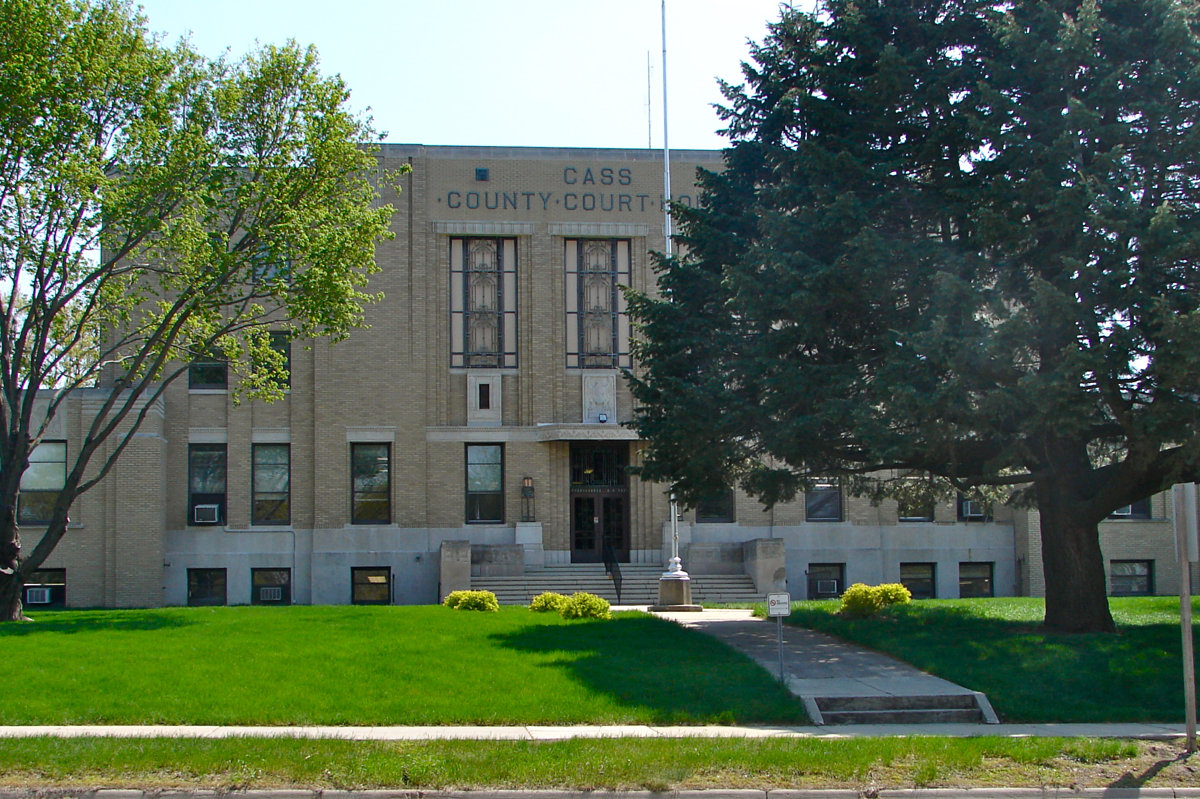
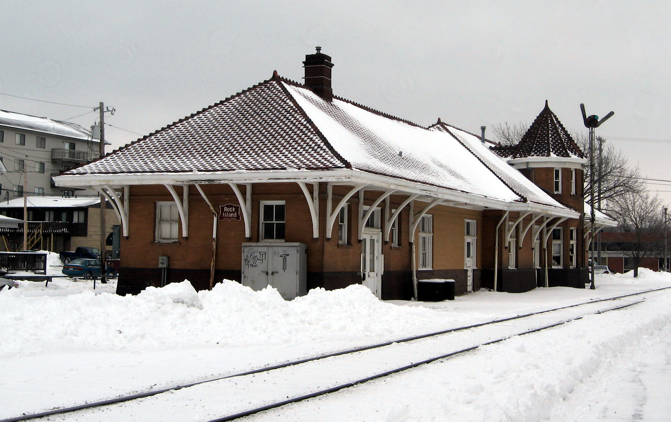
Atlantic is a city in and the county seat of Cass County, Iowa, United States, located along the East Nishnabotna River. The population was 6,792 in the 2020 census, a decline from the 7,257 population in 2000. History Atlantic was founded in October 1868 by Franklin H. Whitney, B.F. Allen, John P. Cook, and others. While historians cannot agree on how Atlantic got its name, local legend tells that the founding fathers estimated that the town was about halfway between the Pacific Ocean and the Atlantic Ocean, so it led them to flip a coin and, clearly, Atlantic won. The nearby Rock Island Railroad was important in deciding the actual location of the town, and to this day, the old depot sits at the north end of Chestnut Street. Today, the depot serves as the offices of the Chamber of Commerce.Naming of Atlantic" [...More Info...] [...Related Items...] OR: [Wikipedia] [Google] [Baidu] |
Rand McNally
Rand McNally is an American technology and publishing company that provides mapping, software and hardware for consumer electronics, commercial transportation and education markets. The company is headquartered in Chicago, with a distribution center in Richmond, Kentucky. History Early history In 1856, William H. Rand opened a printing shop in Chicago and two years later hired a newly arrived Irish immigrant, Andrew McNally, to work in his shop. The shop did big business with the forerunner of the ''Chicago Tribune'', and in 1859 Rand and McNally were hired to run the ''Tribune''s entire printing operation. In 1868, the two men, along with Rand's nephew George Amos Poole, established Rand McNally & Co. and bought the Tribune's printing business. The company initially focused on printing tickets and timetables for Chicago's booming railroad industry, and the following year supplemented that business by publishing complete railroad guides. In 1870, the company expanded into ... [...More Info...] [...Related Items...] OR: [Wikipedia] [Google] [Baidu] |
US 169 (IA)
U.S. Route 169 (US 169) is a north-south U.S highway that currently runs for 966 miles (1,555 km) from the city of Virginia, Minnesota to Tulsa, Oklahoma at Memorial Drive. Route description Oklahoma US 169 is a major north–south highway spanning in Oklahoma. The southern terminus for US 169 is Memorial Drive. The highway connects Tulsa, Oklahoma to the south with the Kansas state border to the north at South Coffeyville, Oklahoma. US 169 travels through Tulsa, Rogers, and Nowata counties. US 169 has undergone several widening projects that have brought US 169 to freeway and expressway standards. The highway is two lanes between Talala, Oklahoma and South Coffeyville except for a short four-lane portion north of Nowata, Oklahoma and ending at State Highway 28. An Alternate US 169 passes through Nowata following the original path of US 169. The alternate route begins at the intersection of Choctaw Avenue and reconnects with US 1 ... [...More Info...] [...Related Items...] OR: [Wikipedia] [Google] [Baidu] |
US 6 (IA)
U.S. Highway 6 (US 6) is an east–west U.S. Highway which runs across the U.S. state of Iowa. The route is signed in places as the Grand Army of the Republic Highway. Like all state highways in Iowa, it is maintained by the Iowa Department of Transportation. The route begins at the Missouri River crossing at Council Bluffs. From there, it travels east through Oakland and Atlantic. North of Atlantic, the highway overlaps Interstate 80 (I-80) until De Soto. Between De Soto and Adel, the highway overlaps US 169 before splitting off to the east towards Des Moines. Through the Des Moines area, the highway runs about one mile (1.6 km) north or south of the I-35 / I-80 corridor. At Altoona, the route again overlaps I-80 until Newton, where it splits away from I-80. The highway passes near or through the cities of Kellogg, Grinnell, Victor, Marengo, the Amana Colonies, and Tiffin before entering the Coralville / Iowa City area. Through Coralville and Iowa Cit ... [...More Info...] [...Related Items...] OR: [Wikipedia] [Google] [Baidu] |
I-80 (IA)
Interstate 80 (I-80) is a transcontinental Interstate Highway in the United States, stretching from San Francisco, California, to Teaneck, New Jersey. In Iowa, the highway travels west to east through the center of the state. It enters the state at the Missouri River in Council Bluffs and heads east through the southern Iowa drift plain. In the Des Moines metropolitan area, I-80 meets up with I-35 and the two routes bypass Des Moines together. On the northern side of Des Moines, the Interstates split and I-80 continues east. In eastern Iowa, it provides access to the University of Iowa in Iowa City. Northwest of the Quad Cities in Walcott is Iowa 80, the world's largest truck stop. I-80 passes along the northern edge of Davenport and Bettendorf and leaves Iowa via the Fred Schwengel Memorial Bridge over the Mississippi River into Illinois. Before I-80 was planned, the route between Council Bluffs and Davenport, which passed through Des Moines, was vital to the sta ... [...More Info...] [...Related Items...] OR: [Wikipedia] [Google] [Baidu] |
Iowa 83
Iowa Highway 83 (Iowa 83) is a state highway that runs from east to west in western Iowa. The highway parallels Interstate 80 its entire length. Its western terminus is at U.S. Highway 59 in Avoca. The eastern terminus is in Anita at an intersection with Iowa Highway 148. Route description Iowa Highway 83 begins in Avoca at US 59. It heads eastward until Walnut, then briefly turns to the south before continuing east again. It goes through Marne then goes southeasterly towards Atlantic. It meets Iowa Highway 173 and then meets U.S. Highway 6 and U.S. Highway 71 in Atlantic. They overlap briefly, then US 6 and US 71 turn north and IA 83 continues east on a previous alignment for US 6. IA 83 passes through Wiota and ends in Anita at Iowa Highway 148. History At its initial designation, IA 83 was a spur between Avoca and Walnut. On June 4, 1935, it was extended eastward to Atlantic, where it would end at US 6, replacing the old IA 271. On August 12, 1959, it was again ex ... [...More Info...] [...Related Items...] OR: [Wikipedia] [Google] [Baidu] |
Iowa Interstate Railroad
The Iowa Interstate Railroad is a Class II regional railroad operating in the central United States. The railroad is owned by Railroad Development Corporation of Pittsburgh, Pennsylvania. History The railroad was formed on November 2, 1984, using former Chicago, Rock Island & Pacific Railroad tracks between Chicago, Illinois and Omaha, Nebraska, four years after the Rock Island folded. It was in partnership with real estate firm Heartland Rail Corporation that the IAIS was able to operate. Heartland purchased the right-of-way and infrastructure for $31 million (of which, $15 million was a loan from the Iowa Railway Finance Authority), and then leased it to IAIS for operations. The IAIS and the railroad infrastructure were purchased from Heartland by Railroad Development Company of Pittsburgh, PA in 2003. In recognition of the railroad's Rock Island Railroad heritage, the IAIS logo uses a shape similar to the original railroad's logo and has also painted two of its Genera ... [...More Info...] [...Related Items...] OR: [Wikipedia] [Google] [Baidu] |
Massena, Iowa
Massena is a city in Cass County, Iowa, United States. The population was 359 at the time of the 2020 census. Massena's motto is: "The Home of Friendly People". Massena's sister community is Cumberland, Iowa. Massena is named after Massena, New York. Geography Massena is located at (41.253802, -94.768866), among the rolling hills of Iowa at the intersection of Iowa highways 92 and 148. According to the United States Census Bureau, the city has a total area of , all land. Massena is located approximately halfway between Des Moines and Omaha, Nebraska, 15 miles south of Interstate 80. Demographics 2010 census As of the census of 2010, there were 355 people, 161 households, and 97 families residing in the city. The population density was . There were 191 housing units at an average density of . The racial makeup of the city was 99.4% White, 0.3% African American, and 0.3% from other races. Hispanic or Latino of any race were 2.8% of the population. There were 161 households, ... [...More Info...] [...Related Items...] OR: [Wikipedia] [Google] [Baidu] |
Iowa 92
Iowa Highway 92 (Iowa 92) is a state highway that runs from east to west across the state of Iowa. Iowa 92 is long. It begins at the Missouri River in Council Bluffs, where it is a continuation of Nebraska Highway 92. It stretches across the state and serves to roughly demarcate the southern one-third of Iowa. It ends at the Mississippi River in Muscatine where it continues into Illinois as Illinois Route 92. In 1939, Iowa 92 replaced the original Iowa 2 in its entirety. Route description Iowa 92 begins on the South Omaha Bridge above the Missouri River with U.S. Highway 275 (US 275) between Omaha, Nebraska, and Council Bluffs. It is a continuation of Nebraska Highway 92, which stretches across Nebraska and is itself a continuation of Wyoming Highway 92. Through Council Bluffs, the highways pass through the southern part of the city but just to the north of Lake Manawa. At an interchange with Interstate 29 (I-29), US 275 splits away from Io ... [...More Info...] [...Related Items...] OR: [Wikipedia] [Google] [Baidu] |


