|
Iowa Highway 175
Iowa Highway 175 (Iowa 175) is a main east–west route in the northern portion of the state. The highway has a length of . Iowa Highway 175 enters the state by a Missouri River crossing between Decatur, Nebraska and Onawa. The highway continues westward as Nebraska Highway 51. Iowa 175's eastern terminus is at a T intersection with U.S. Highway 63 (US 63) in southwestern Black Hawk County. Despite Iowa 175's length, it only passes through small communities. The largest city on the route is Onawa, whose 2020 census population was 2,906. Route description Iowa Highway 175 begins at the eastern end of the Burt County Missouri River Bridge west of Onawa. At Onawa, it intersects Interstate 29. At Turin, it meets Iowa 37 and turns northeast to follow an alignment which lies next to the Maple River. It continues through Castana and meets Iowa 141 in Mapleton. At Mapleton, Iowa 175 overlaps Iowa 141 through town. This is a ... [...More Info...] [...Related Items...] OR: [Wikipedia] [Google] [Baidu] |
Onawa, Iowa
Onawa is a city in, and the county seat of, Monona County, Iowa, United States. The population was 2,906 at the time of the 2020 Census. It is the largest town on the Iowa side of the Missouri River between Council Bluffs and Sioux City. History Onawa was named for a character mentioned in the poem ''The Song of Hiawatha'' by Henry Wadsworth Longfellow. Onawa was platted in 1857, and the railway arrived to the city in 1867. The city is known for having the widest main street in the continental United States. Onawa was the site of a prisoner-of-war (POW) camp for captured German soldiers between 1944 and 1946. Historical documents indicate there were never more than 50 POWs in camp. A larger camp existed near the central Iowa town of Algona, and housed as many as 5,400 German POWs. Geography Onawa's longitude and latitude coordinates in decimal form are 42.027490, -96.096513. According to the United States Census Bureau, the city has a total area of , all land. Onawa is loc ... [...More Info...] [...Related Items...] OR: [Wikipedia] [Google] [Baidu] |
Hardin County, Iowa
Hardin County is a county located in the U.S. state of Iowa. As of the 2020 census, the population was 16,878. The county seat is Eldora. The county was named in honor of Col. John J. Hardin, of Illinois, who was killed in the Mexican–American War. History Hardin County was formed in 1851. It was named after Colonel John J. Hardin, who died in the Mexican–American War. In its history the county has had three courthouses. The first was a small wood-framed building, which burned down in the 1850s. The second courthouse was a two-story building and stood on the site of the current office of the county sheriff. The third and present courthouse was constructed in 1892 and opened on September 19, 1893. The structure was listed on the National Register of Historic Places in 1981. Hardin County, along with [...More Info...] [...Related Items...] OR: [Wikipedia] [Google] [Baidu] |
Iowa Highway 141
Iowa Highway 141 (Iowa 141) is an east–west highway in the western and central portions of the state. It is the most direct link between Sioux City and Des Moines. It also serves as a freeway link between Des Moines and the outlying communities of Perry, Granger, and Grimes. Iowa 141's begins near Sloan at an interchange with Interstate 29 (I-29) at ends at another interchange with I-35 / I-80 on the edge of the Des Moines suburbs of Urbandale and Grimes. Route description Iowa 141 begins at I-29 just west of Sloan. It goes east through Sloan and Hornick before meeting Iowa 31 in Smithland. It then turns southeast and at Mapleton meets Iowa 175, with which it forms a wrong-way concurrency, as eastbound Iowa 141 goes the same direction as westbound Iowa 175. They separate and Iowa 141 continues southeast before going south into Ute, where it meets Iowa 183. At Ute, it turns east and passes through Charter Oak befor ... [...More Info...] [...Related Items...] OR: [Wikipedia] [Google] [Baidu] |
Castana, Iowa
Castana is a city in Monona County, Iowa, United States. The population was 107 at the time of the 2020 census. History A post office has been in operation at Castana since 1865. Castana was platted in 1886 by the railroad. The name Castana was selected by an early settler who believed it to be a Latin word meaning "chestnuts". Geography Castana is located at (42.072518, -95.908266). According to the United States Census Bureau, the city has a total area of , all land. The city is located from Onawa and from Sioux City. Academic research The Western Iowa Experimental farm, a part of Iowa State University, is located just outside Castana. There research is carried out in beef cattle, swine, forage and the effects of fertiliser on soya beans and corn. Demographics 2010 census As of the census of 2010, there were 147 people, 68 households, and 37 families residing in the city. The population density was . There were 78 housing units at an average density of . The racial ... [...More Info...] [...Related Items...] OR: [Wikipedia] [Google] [Baidu] |
Maple River (Iowa)
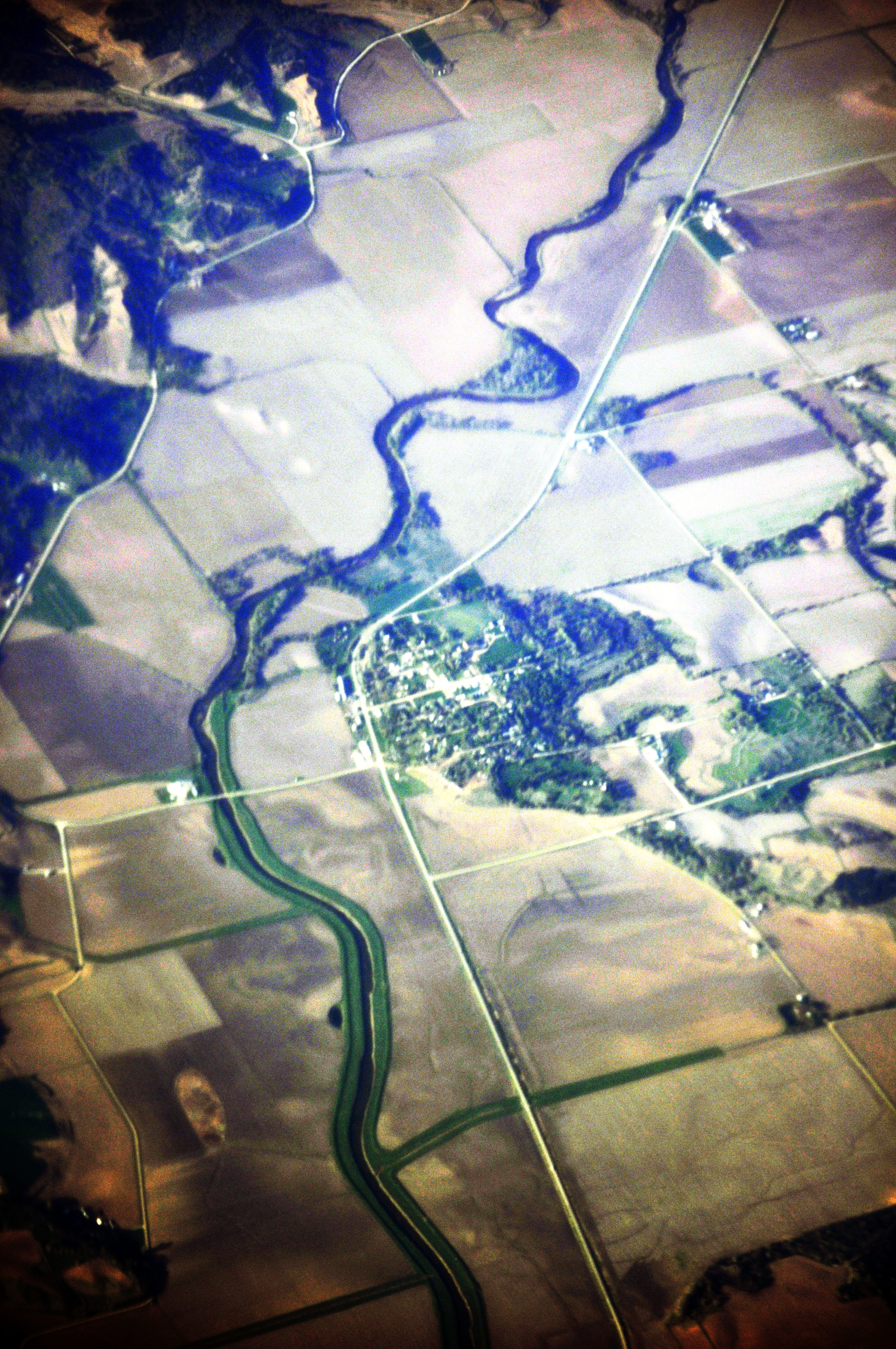
The Maple River is a river in the United States. It flows through western Iowa and is long.U.S. Geological Survey. National Hydrography Dataset high-resolution flowline dataThe National Map, accessed March 30, 2011 The Maple River rises in Buena Vista County, Iowa, Buena Vista County, and flows generally southwest through Ida Grove, Iowa, Ida Grove, Battle Creek, Iowa, Battle Creek, Danbury, Iowa, Danbury, and Mapleton, Iowa, Mapleton finally joining with the Little Sioux River near Turin, Iowa, Turin. Much of the river has been channelized. The Maple River was named from the soft maple trees along its banks. See also *List of Iowa rivers References Rivers of Iowa Rivers of Buena Vista County, Iowa Rivers of Ida County, Iowa Rivers of Woodbury County, Iowa Rivers of Monona County, Iowa {{Iowa-river-stub ... [...More Info...] [...Related Items...] OR: [Wikipedia] [Google] [Baidu] |
Iowa Highway 37
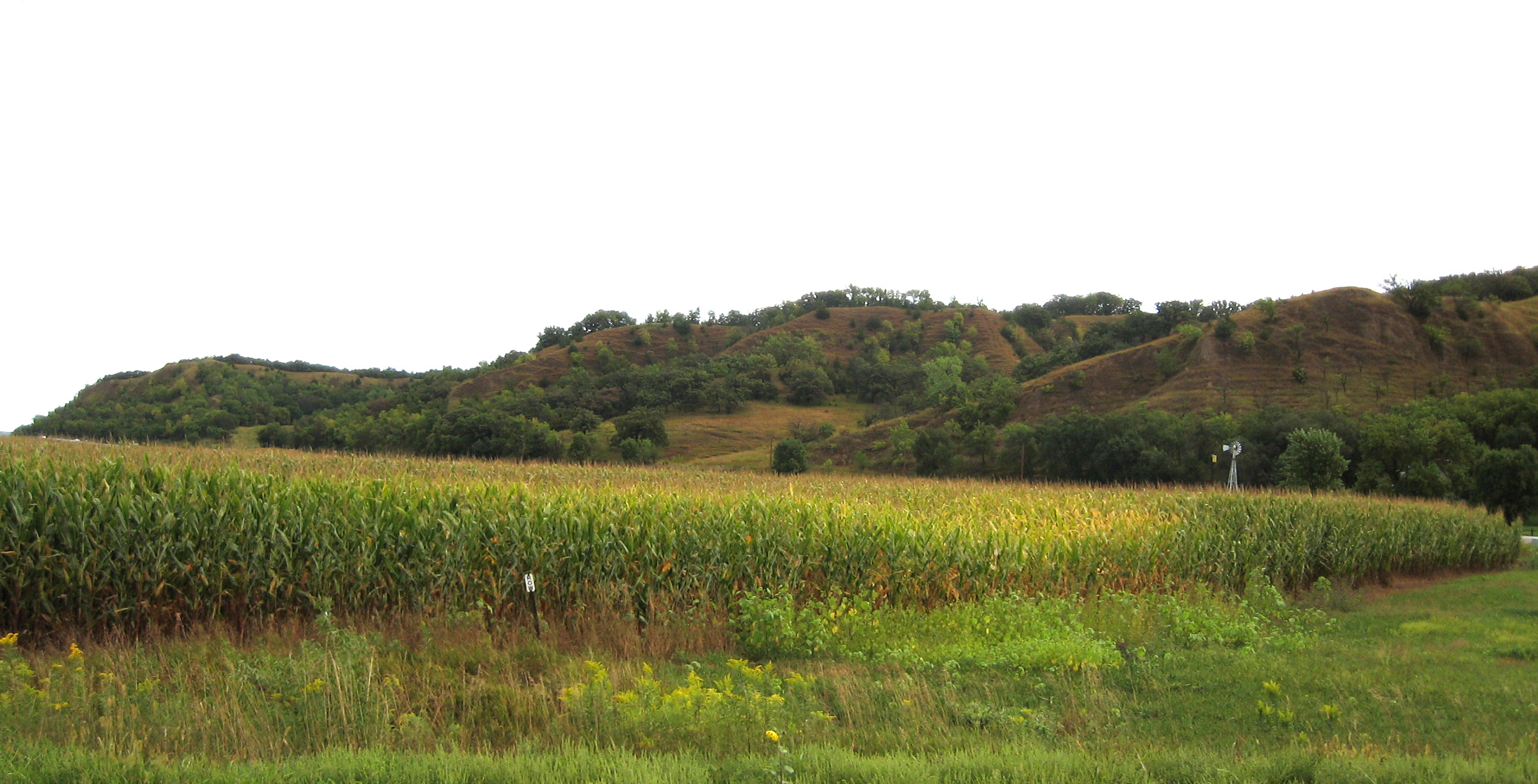
Iowa Highway 37 (Iowa 37) is an east–west road in the west-central part of the state. Iowa 37 begins just east of Turin at Iowa Highway 175. It ends east of Earling at U.S. Highway 59. A small portion of the highway near Turin is designated as part of the Loess Hills Scenic Byway. Route description Iowa Highway 37 begins at an intersection with Iowa 175 east of Turin and adjacent to Iowa 175's crossing of the Maple River. The first of the route are part of the Loess Hills Scenic Byway. The highway travels east and then southeast through the Loess Hills, a region of dunes east of the Missouri River created by wind-deposited silt from the Missouri River valley. At Soldier, Iowa 37 exits the Loess Hills and meets Iowa 183. From Soldier, the highway travels to the southeast to Dunlap. In Dunlap, Iowa 37 overlaps US 30 for . Eastbound Iowa 37 overlaps westbound US 30; this phenomenon is known as a wrong-way concurrency. Bet ... [...More Info...] [...Related Items...] OR: [Wikipedia] [Google] [Baidu] |
Turin, Iowa
Turin is a city in Monona County, Iowa, United States. The population was 72 at the time of the 2020 census. History Turin was platted in 1887. It was named after Turin, in Italy. A post office was established at Turin in 1887, and remained in operation until it was discontinued in 1996. Geography Turin is located at (42.020792, -95.967541). It is situated near the confluence of the Little Sioux and Maple rivers. According to the United States Census Bureau, the city has a total area of , all land. Demographics 2010 census As of the census of 2010, there were 68 people, 33 households, and 19 families living in the city. The population density was . There were 38 housing units at an average density of . The racial makeup of the city was 97.1% White and 2.9% African American. There were 33 households, of which 21.2% had children under the age of 18 living with them, 48.5% were married couples living together, 6.1% had a female householder with no husband present, 3.0% had ... [...More Info...] [...Related Items...] OR: [Wikipedia] [Google] [Baidu] |
Interstate 29 In Iowa
In the US state of Iowa, Interstate 29 (I-29) is a north–south Interstate Highway which closely parallels the Missouri River. I-29 enters Iowa from Missouri near Hamburg and heads to the north-northwest through the Omaha–Council Bluffs and the Sioux City areas. It exits the state by crossing the Big Sioux River into South Dakota. For its entire distance through the state, it runs on the flat land between the Missouri River and the Loess Hills. I-29 was built in sections over a period of 15 years. When there was a shortage of male workers, female workers stepped in to build a section near Missouri Valley. Between Council Bluffs and Sioux City, I-29 replaced U.S. Highway 75 (US 75) as the major route in western Iowa. As a result of I-29's creation, US 75 south of Sioux City was relocated into Nebraska. Route description I-29 enters Iowa south of Hamburg. The Interstate heads northwest, where it meets Iowa Highway 333 (Iowa 333) at a diamond interch ... [...More Info...] [...Related Items...] OR: [Wikipedia] [Google] [Baidu] |
Burt County Missouri River Bridge
The Burt County Missouri River Bridge is a continuous truss bridge over the Missouri River connecting Burt County, Nebraska and Monona County, Iowa at Decatur, Nebraska. The bridge connects Nebraska Highway 51 and Iowa Highway 175. Interstate 29 is 7 miles east and Onawa, Iowa 8 miles east of the Missouri River. The bridge was finished in 1951 and carried the first traffic in 1955 after the US Army Corps of Engineers diverted the river to flow under the bridge. In late 2013, it became toll free under the joint ownership of the states of Nebraska and Iowa; up to that time, it had been one of three toll bridges in Nebraska.{{Citation needed, date=December 2013 Trivia *The bridge is known to the local population as "That Scary Ass Bridge" because of its loud, creaky ironwork, and the grillwork on the floor through which the river can be seen as you cross. References See also *List of crossings of the Missouri River This is a list of bridges and other crossings of the M ... [...More Info...] [...Related Items...] OR: [Wikipedia] [Google] [Baidu] |
T Intersection
A three-way junction (or three-way intersection) is a type of road intersection with three arms. A Y junction (or Y intersection) generally has three arms of equal size coming at an acute or obtuse angle to each other; while a T junction (or T intersection) also has three arms, but one of the arms is generally a smaller road joining a larger road at right angle. Right-of-way Some three-way junctions are controlled by traffic lights, while others rely upon drivers to obey right-of-way rules, which vary from place to place: *In some jurisdictions, chiefly in European countries except the U.K. and Ireland, a driver is always obliged to yield right-of-way for every vehicle oncoming from the right at a junction without traffic signals and priority signs (including T junctions). *In other jurisdictions (mainly in the U.K., USA, Australia and Taiwan), a driver turning in a three-way junction must yield for every vehicle approaching the junction (on the way straight ahead) and, if the ... [...More Info...] [...Related Items...] OR: [Wikipedia] [Google] [Baidu] |
Nebraska Highway 51
Nebraska Highway 51 is a highway in eastern Nebraska. It has a length of and runs from west to east. It has a western terminus at U.S. Highway 275 northwest of Wisner and an eastern terminus at the Burt County Missouri River Bridge at the Missouri River in Decatur. Route description Nebraska Highway 51 begins northwest of Wisner at U.S. 275. It goes east into farmland and meets Nebraska Highway 9 west of Bancroft. It continues east and skirts the southern edge of Bancroft, after which it meets Nebraska Highway 16. After five miles (8 km), it meets U.S. Highway 77. It continues east and meets U.S. Highway 75 in Decatur. (According to a 1940 map, the highway turned south at Highway 77 to Lyons and then went east from Lyons to Decatur. It was apparently rerouted sometime between 1940 and 1955. The old section of road is now listed as Old Highway 118.) After overlapping in Decatur, Highway 51 turns east and crosses the Missouri River via the Burt County Missouri Ri ... [...More Info...] [...Related Items...] OR: [Wikipedia] [Google] [Baidu] |
Decatur, Nebraska
Decatur is a village in Burt County, Nebraska, United States, adjacent to the upper Missouri River. The population was 481 at the 2010 census. This town is named after one of its incorporators, Stephen Decatur. It developed around a trading post established by Colonel Peter Sarpy, the namesake for Sarpy County in the state. History The area was long occupied by the Omaha Native Americans, who settled along the creeks and river Explorers Meriwether Lewis and William Clark passed through the area in 1804 as their expedition traveled via the upper Missouri River on their way to and from the Pacific Coast, in their exploration of the Louisiana Purchase. The first European settler in the area was a man named Woods, who settled at the mouth of Wood Creek (his namesake) in 1837. Stephen Decatur arrived in the area in 1841. A former schoolteacher in New Jersey and New York, he had abandoned his wife and two children when he migrated to the West. Here he changed his name, dropping his f ... [...More Info...] [...Related Items...] OR: [Wikipedia] [Google] [Baidu] |


