|
Intercon LARP Conventions
The Intercon LARP conventions are a series of live action role-playing (LARP) conventions licensed by LARPA and produced by independent groups. The conventions began with the SiliCon LARP convention, organized in 1986. To be licensed by LARPA Intercons must support some sort of open bid process in which local groups or individuals, regardless of affiliation, are invited to submit LARP events, and evaluated by some reasonably fair process. The Intercon Conventions have used the names Silicon, and Intercon. They have been, over the years, a core element of the growth of Theatre Style LARP in the northeastern United States, primarily in the Boston and Washington DC areas. Currently InterCon is held in Warwick, Rhode Island. In 2013 the '' Wyrd Con Companion Book 2012'' was launched at Intercon M. Events *SiLicon I Woburn, Massachusetts (Mar. 1986) *SiLicon II Danvers, Massachusetts (Mar. 1987) *SiLicon 2.5 New Jersey (Nov. 1987) (Unofficial event) *SiLicon III Danvers ... [...More Info...] [...Related Items...] OR: [Wikipedia] [Google] [Baidu] |
LARP
A live action role-playing game (LARP) is a form of role-playing game where the participants physically portray their characters.(Tychsen et al. 2006:255) "LARPs can be viewed as forming a distinct category of RPG because of two unique features: (a) The players physically embody their characters, and (b) the game takes place in a physical frame. Embodiment means that the physical actions of the player are regarded as those of the character. LARP participants may dress in the costume of their character and carry appropriate physical props (e.g., an 18th century militia LARP participant may wear a military uniform and carry a musket). Whereas in a RPG played by a group sitting around a table, players describe the actions of their characters (e.g., "I run to stand beside my friend"); in an equivalent situation in a LARP, a player would physically run to the appropriate point within the game space." The players pursue goals within a fictional setting represented by real-world enviro ... [...More Info...] [...Related Items...] OR: [Wikipedia] [Google] [Baidu] |
Hunt Valley, Maryland
Hunt Valley is an unincorporated community in Baltimore County, Maryland, United States, near the site of the Maryland Hunt Cup Steeplechase. It lies just north of the city of Baltimore, along York Road (Maryland Route 45), parallel to Interstate 83. The nearby Loch Raven Reservoir is an important landmark and drinking water resource. Its surrounding forested watershed is one of three reservoirs (along with Prettyboy and Liberty Reservoirs) established for the City of Baltimore. Hunt Valley is located at a latitude of 39.5° North and longitude of 76.7° West. It is served by the Cockeysville post office, and is also a neighbor of Timonium. A satellite campus of the Community College of Baltimore County is located in Hunt Valley Town Centre. Business and industry An industrial park, named The Hunt Valley Business Community, was opened in 1962. Hunt Valley is the home of AmTote International, Inc., Systems Alliance, Inc., BreakAway Games, Atradius North America, Sinclair ... [...More Info...] [...Related Items...] OR: [Wikipedia] [Google] [Baidu] |
Westborough, Massachusetts
Westborough is a town in Worcester County, Massachusetts, United States. The population was 21,567 at the 2020 Census, in over 7,000 households. Incorporated in 1717, the town is governed under the New England open town meeting system, headed by a five-member elected Board of Selectmen whose duties include licensing, appointing various administrative positions, and calling a town meeting of citizens annually or whenever the need arises. History Before recorded time, the area now known as Westborough was a well-travelled crossroads. As early as 7,000 BCE, prehistoric people in dugout canoes followed the Sudbury and Assabet Rivers to their headwaters in search of quartzite for tools and weapons. From 1200 to 1600 CE, seasonal migrations brought Nipmuc Indians to hunt and fish near Cedar Swamp and Lake Hoccomocco. Using Fay Mountain as a landmark, Indians crisscrossed Westborough on well-worn paths: the old Connecticut Path leading west from Massachusetts Bay; the Narraganse ... [...More Info...] [...Related Items...] OR: [Wikipedia] [Google] [Baidu] |
Bethesda, Maryland
Bethesda () is an unincorporated, census-designated place in southern Montgomery County, Maryland. It is located just northwest of Washington, D.C. It takes its name from a local church, the Bethesda Meeting House (1820, rebuilt 1849), which in turn took its name from Jerusalem's Pool of Bethesda. The National Institutes of Health's main campus and the Walter Reed National Military Medical Center are in Bethesda, in addition to a number of corporate and government headquarters. As an unincorporated community, Bethesda has no official boundaries. According to the 2020 U.S. census, the community had a total population of 68,056. History Bethesda is located in a region that was populated by the Piscataway and Nacotchtank tribes at the time of European colonization. Fur trader Henry Fleet became the first European to visit the area, reaching it by sailing up the Potomac River. He stayed with the Piscataway tribe from 1623 to 1627, either as a guest or prisoner (historical accounts ... [...More Info...] [...Related Items...] OR: [Wikipedia] [Google] [Baidu] |
Waltham, Massachusetts
Waltham ( ) is a city in Middlesex County, Massachusetts, United States, and was an early center for the labor movement as well as a major contributor to the American Industrial Revolution. The original home of the Boston Manufacturing Company, the city was a prototype for 19th century industrial city planning, spawning what became known as the Waltham-Lowell system of labor and production. The city is now a center for research and higher education, home to Brandeis University and Bentley University as well as industrial powerhouse Raytheon Technologies. The population was 65,218 at the census in 2020. Waltham has been called "watch city" because of its association with the watch industry. Waltham Watch Company opened its factory in Waltham in 1854 and was the first company to make watches on an assembly line. It won the gold medal in 1876 at the Philadelphia Centennial Exposition. The company produced over 35 million watches, clocks and instruments before it closed in 1957. Histo ... [...More Info...] [...Related Items...] OR: [Wikipedia] [Google] [Baidu] |
Germantown, Maryland
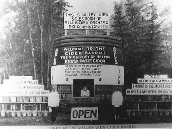
Germantown is an urbanized census-designated place in Montgomery County, Maryland, United States. With a population of 91,249 as of 2020 U.S. Decennial Census, Germantown is the third most populous place in Maryland, after the city of Baltimore, and the census-designated place of Columbia. Germantown is located approximately outside the U.S. capital of Washington, D.C. and is an important part of the Washington metropolitan area. Germantown was founded in the early 19th century by European immigrants, though much of the area's development did not take place until the mid-20th century. The original plan for Germantown divided the area into a downtown and six town villages: Gunners Lake Village, Kingsview Village, Churchill Village, Middlebrook Village, Clopper's Mill Village, and Neelsville Village. The Churchill Town Sector at the corner of Maryland Route 118 and Middlebrook Road most closely resembles the downtown or center of Germantown because of the location of the Upcount ... [...More Info...] [...Related Items...] OR: [Wikipedia] [Google] [Baidu] |
Rehoboth, Delaware
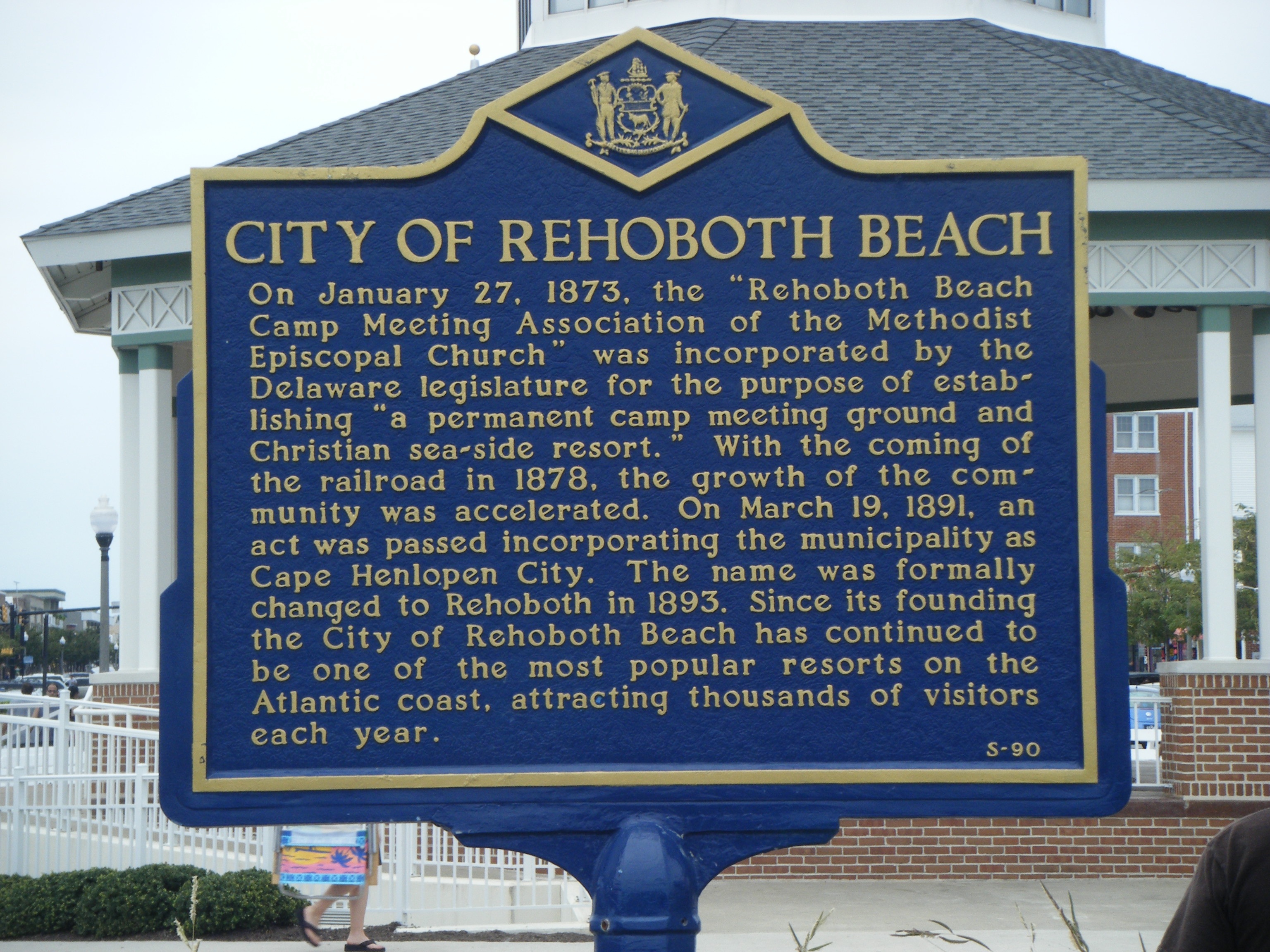
Rehoboth Beach ( ) is a city on the Atlantic Ocean along the Delaware Beaches in eastern Sussex County, Delaware. As of the 2010 U.S. census, the population was 1,327, reflecting a decline of 161 (11.2%) from the 1,488 counted in the 2000 census. Along with the neighboring coastal town of Lewes, Rehoboth Beach is one of the principal cities of Delaware's rapidly growing Cape Region. Rehoboth Beach lies within the Salisbury metropolitan area. A popular, affluent vacation destination, many individuals maintain summer homes in Rehoboth Beach, including current U.S. President Joe Biden. During on-season, Rehoboth Beach's population expands to over 25,000 within the city limits and thousands more in the surrounding area in the summer. In 2011, the NRDC awarded Rehoboth Beach with a 5-Star rating in water quality. This award was given only to 12 other locations, one being neighboring Dewey Beach. Out of the 30 states with coastline, the Delaware Beaches ranked number one for ... [...More Info...] [...Related Items...] OR: [Wikipedia] [Google] [Baidu] |
New Castle, Delaware
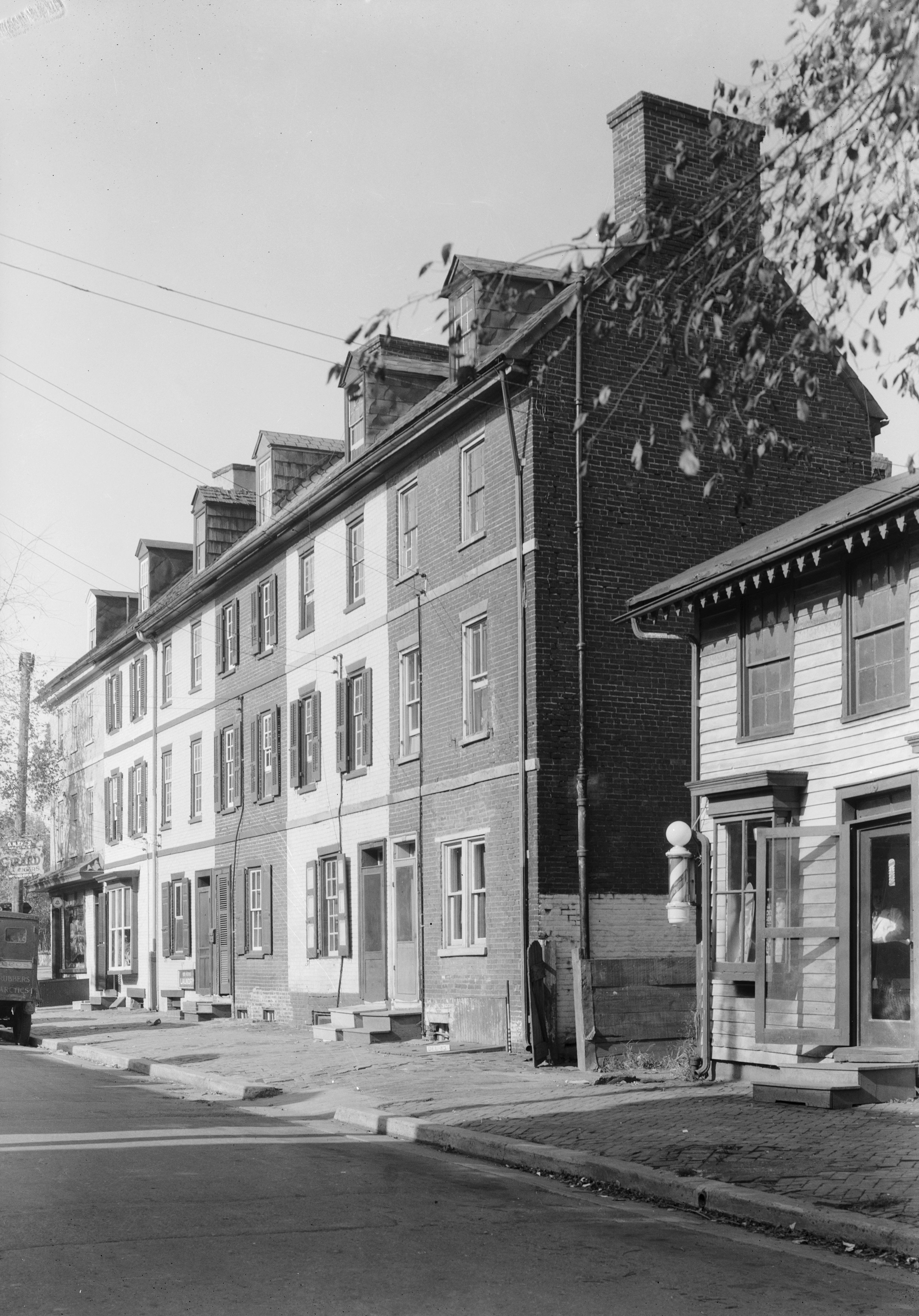
New Castle is a city in New Castle County, Delaware, United States. The city is located six miles (10 km) south of Wilmington and is situated on the Delaware River. As of the 2010 census, the city's population was 5,285. History New Castle was originally settled by the Dutch West India Company in 1651 under the leadership of Peter Stuyvesant on the site of a former aboriginal village, "Tomakonck" ("Place of the Beaver"), to assert their claim to the area based on a prior agreement with the aboriginal inhabitants of the area. The Dutch originally named the settlement Fort Casimir, but this was changed to Fort Trinity (Swedish: ''Trefaldighet'') following its seizure by the colony of New Sweden on Trinity Sunday, 1654. The Dutch conquered the entire colony of New Sweden the following year and rechristened the fort Nieuw-Amstel ("New Amstel", after the Amstel). This marked the end of the Swedish colony in Delaware as an official entity, but it remained a semi-autonomous unit ... [...More Info...] [...Related Items...] OR: [Wikipedia] [Google] [Baidu] |
Piscataway, New Jersey
Piscataway () is a township in Middlesex County, New Jersey, United States. It is a suburb of the New York metropolitan area, in the Raritan Valley. At the 2010 United States Census, the population was 56,044, an increase of 5,562 (+11.0%) from 50,482 at the 2000 Census, which had in turn increased by 3,393 (+7.2%) from 47,089 in 1990. The name may be derived from the area's earliest European settlers who came from near the Piscataqua River, a landmark defining the coastal border between New Hampshire and Maine, whose name derives from (branch) and (tidal river), or alternatively from (meaning "dark night") and ("place of") or from a Lenape language word meaning "great deer". The area was appropriated in 1666 by Quakers and Baptists who had left the Puritan colony in New Hampshire.Cheslow, Jerry"If You're Thinking of Living in: Piscataway" ''The New York Times'', June 28, 1992. Accessed October 3, 2012. "What is now the township was settled in 1666 by Quakers and Baptist ... [...More Info...] [...Related Items...] OR: [Wikipedia] [Google] [Baidu] |
Chelmsford, Massachusetts
Chelmsford () is a town in Massachusetts that was established in 1655. It is located northwest of Boston. The Chelmsford militia played a role in the American Revolution at the Battle of Lexington and Concord and the Battle of Bunker Hill. Chelmsford was incorporated in May 1655 by an act of the Massachusetts General Court. When Chelmsford was incorporated, its local economy was fueled by lumber mills, limestone quarries and kilns. The farming community of East Chelmsford was incorporated as Lowell in the 1820s; over the next decades it would go on to become one of the first large-scale factory towns in the United States because of its early role in the country's Industrial Revolution. Chelmsford experienced a drastic increase in population between 1950 and 1970, coinciding with the connection of U.S. Route 3 in Lowell to Massachusetts Route 128 in the 1950s and the extension of U.S. Route 3 from Chelmsford to New Hampshire in the 1960s. Chelmsford has a representative to ... [...More Info...] [...Related Items...] OR: [Wikipedia] [Google] [Baidu] |
Cherry Hill, New Jersey
Cherry Hill is a township within Camden County, in the U.S. state of New Jersey. As of the 2020 U.S. census, the township had a population of 74,553, which reflected an increase of 3,508 (+4.94%) from the 71,045 counted in the 2010 census.DP-1 - Profile of General Population and Housing Characteristics: 2010 for Cherry Hill township, Camden County, New Jersey . Accessed May 17, 2015. [...More Info...] [...Related Items...] OR: [Wikipedia] [Google] [Baidu] |
Natick, Massachusetts
Natick ( ) is a town in Middlesex County, Massachusetts, United States. It is near the center of the MetroWest region of Massachusetts, with a population of 37,006 at the 2020 census. west of Boston, Natick is part of the Greater Boston area. Massachusetts's center of population was in Natick at the censuses of 2000-2020, most recently in the vicinity of Hunters Lane. Name The name ''Natick'' comes from the language of the Massachusett Native American tribe and is commonly thought to mean "Place of Hills." A more accurate translation may be "place of ursearching," after John Eliot's successful search for a location for his Praying Indian settlement. History Natick was settled in 1651 by John Eliot, a Puritan missionary born in Widford, England, who received a commission and funds from England's Long Parliament to settle the Massachusett Indians called Praying Indians on both sides of the Charles River, on land deeded from the settlement at Dedham. Natick was the first of E ... [...More Info...] [...Related Items...] OR: [Wikipedia] [Google] [Baidu] |


