|
Idaho State Highway 44
State Highway 44 (SH-44) is a state highway in the U.S. State of Idaho. SH-44 travels through the Treasure Valley from Interstate 84 (I-84) to U.S. Route 20 (US-20) and US-26 in Garden City, Idaho. Route description State Highway 44 starts at the junction of Interstate 84 north of Caldwell at Exit 25. The highway heads eastward staying mostly to the north of the Boise River. The highway goes through the cities of Middleton and Star. Just to the east of Star meets its junction with Emmett Highway, SH-16. Highway 44 continues east through Eagle and intersects with State Highway 55. From Eagle eastward, the highway is also known as State Street and continues toward Boise. The highway turns southward onto Glenwood Street in Garden City where it continues for approximately before ending at Chinden Boulevard ( US-20/ US-26). History This route is believed to have been in existence since 1934. A previous alignment of State Highway 44 continued eastward down State Street pa ... [...More Info...] [...Related Items...] OR: [Wikipedia] [Google] [Baidu] |
Idaho Transportation Department
The Idaho Transportation Department (ITD) is the state of Idaho governmental organization responsible for state transportation infrastructure. This includes ongoing operations and maintenance as well as planning for future needs of the state and its citizens. The agency is responsible for overseeing the disbursement of federal, state, and grant funding for transportation programs in the state. Overview Idaho's state transportation system consists of more than (lane miles) of roads, more than 1,800 bridges, approximately of rail lines, 126 public-use airports, and the Port of Lewiston. The agency is also responsible for 29 rest areas and 12 ports of entry. History The Idaho Legislature created the State Highway Commission in 1913. The group consisted of the Secretary of State, the State Engineer and three other members to be appointed by the governor. The Commission was empowered to: *plan, build and maintain new state highways *alter, improve or dis ... [...More Info...] [...Related Items...] OR: [Wikipedia] [Google] [Baidu] |
Star, Idaho
Star is a city in northwestern Ada County, Idaho, with parts stretching into neighboring Canyon County. The population was 5,793 at the 2010 census, up from 1,795 in 2000.Spokesman-Review - 2010 census - Star, Idaho - accessed 2011-12-13 It was named in the 19th century by travelers on their way to Middleton and who used the star on the school house to find east and west. The name stuck and it became Star, Idaho. Today, it is a rapidly growing suburb of Boise and its schools are shared with |
State Highways In Idaho
The Idaho Transportation Department (ITD) is responsible for the establishment and classification of a state highway network, including of roads that are classified as Interstate Highways, U.S. Highways, and state highways within the state of Idaho in the United States. The current state highway marker consists of a white background, black numbering, and a solid black geographic outline of the state of Idaho. History During the 1920s, in lieu of numbering its highways, Idaho had a system of lettered Sampson Trails.Rand McNally Auto Road Atlas, 1926, accessed via thBroer Map Library/ref> They were marked by businessman Charles B. Sampson of Boise at no expense to the state, using orange-colored shields.Senate Concurrent Resolution No. 8, "a concurrent resolution...to permit Charles B. Sampson to extend the marking system of the Sampson Trail..." passed February 16, 1933 By 1929, the trails system had included of marked highways that covered most of the state. By the mid-1930s, ... [...More Info...] [...Related Items...] OR: [Wikipedia] [Google] [Baidu] |
Diamond Interchange
A diamond interchange is a common type of road junction, used where a controlled-access highway crosses a minor road. Design The freeway itself is grade-separated from the minor road, one crossing the other over a bridge. Approaching the interchange from either direction, an off-ramp diverges only slightly from the freeway and runs directly across the minor road, becoming an on-ramp that returns to the freeway in similar fashion. The two places where the ramps meet the road are treated as conventional intersections. In the United States, where this form of interchange is very common, particularly in rural areas, traffic on the off-ramp typically faces a stop sign at the minor road, while traffic turning onto the freeway is unrestricted. The diamond interchange uses less space than most types of freeway interchange, and avoids the interweaving traffic flows that occur in interchanges such as the cloverleaf. Thus, diamond interchanges are most effective in areas where ... [...More Info...] [...Related Items...] OR: [Wikipedia] [Google] [Baidu] |
Ontario, OR
Ontario is the largest city in Malheur County, Oregon, United States. It lies along the Snake River at the Idaho border. The population was 11,366 at the 2010 census. The city is the largest community in the region of far eastern Oregon, also known as the Western Treasure Valley. Ontario is the principal city of the Ontario, OR-ID Micropolitan Statistical Area, which includes Malheur County in Oregon and Payette County in Idaho. Ontario is approximately halfway between Portland and Salt Lake City. It is the closest city to the Idaho border along Interstate 84. The city's slogan is "Where Oregon Begins". History Ontario was founded on 11 June 1883, by developers William Morfitt, Mary Richardson, Daniel Smith, and James Virtue. In March 1884, Richard Welch started a post office for the quarter of Ontario, so named by James Virtue after Ontario, Canada. Two months later Joseph Morton applied for a Morton post office at an island about one mile south of town, with O ... [...More Info...] [...Related Items...] OR: [Wikipedia] [Google] [Baidu] |
Metropolitan Planning Organization
A metropolitan planning organization (MPO) is a federally mandated and federally funded transportation policy-making organization in the United States that is made up of representatives from local government and governmental transportation authorities. They were created to ensure regional cooperation in transportation planning. MPOs were introduced by the Federal-Aid Highway Act of 1962, which required the formation of an MPO for any urbanized area (UZA) with a population greater than 50,000. Federal funding for transportation projects and programs are channeled through this planning process. Congress created MPOs in order to ensure that existing and future expenditures of governmental funds for transportation projects and programs are based on a continuing, cooperative, and comprehensive ("3-C") planning process. Statewide and metropolitan transportation planning processes are governed by federal law (). Transparency through public access to participation in the planning process and ... [...More Info...] [...Related Items...] OR: [Wikipedia] [Google] [Baidu] |
Interstate 184 (Idaho)
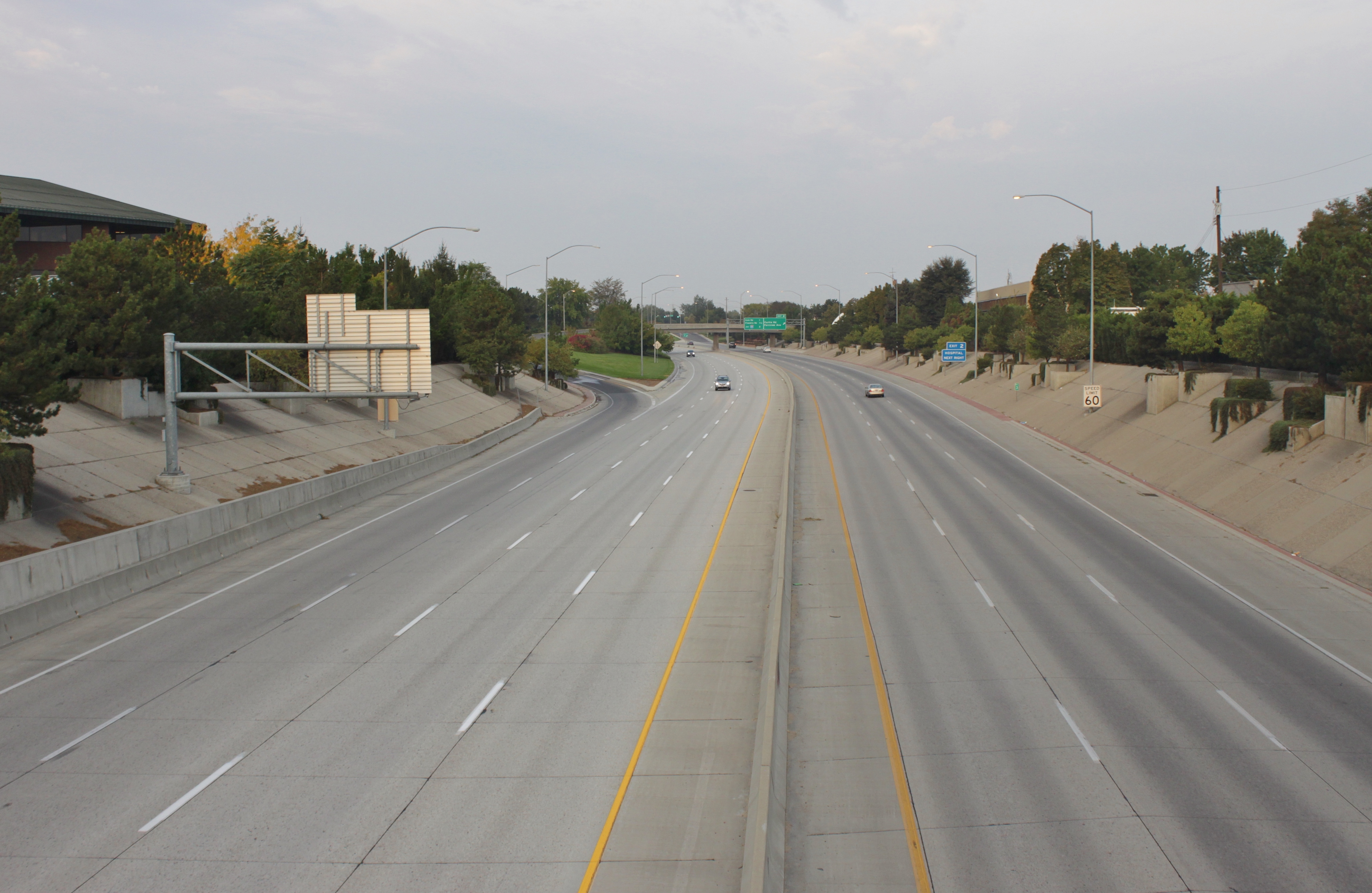
Interstate 184 (I-184) is a short auxiliary Interstate Highway in Boise, Idaho, United States. It is a spur route of I-84 that connects the freeway to Downtown Boise, terminating at US Highway 20 (US 20) and US 26. Route description I-184, also known as the Boise Connector, begins at the "Flying Wye" interchange with I-84 and US 30 in southwestern Boise. The six-lane freeway travels northeast through suburban Boise, crossing over a spur railroad near an interchange with Franklin Street on the south side of the Boise Towne Square shopping mall. I-184 intersects Curtis Road near the Saint Alphonsus Regional Medical Center and turns due east along Fairview Avenue, which acts as a frontage road. On the west side of the Boise River in Rotary Park, I-184 terminates after an interchange with US 20 and US 26, which serve northwestern Boise on Chinden Boulevard. US 20 and US 26 supersede I-184 and cross into Downtown Boise, where it ... [...More Info...] [...Related Items...] OR: [Wikipedia] [Google] [Baidu] |
Boise, Idaho
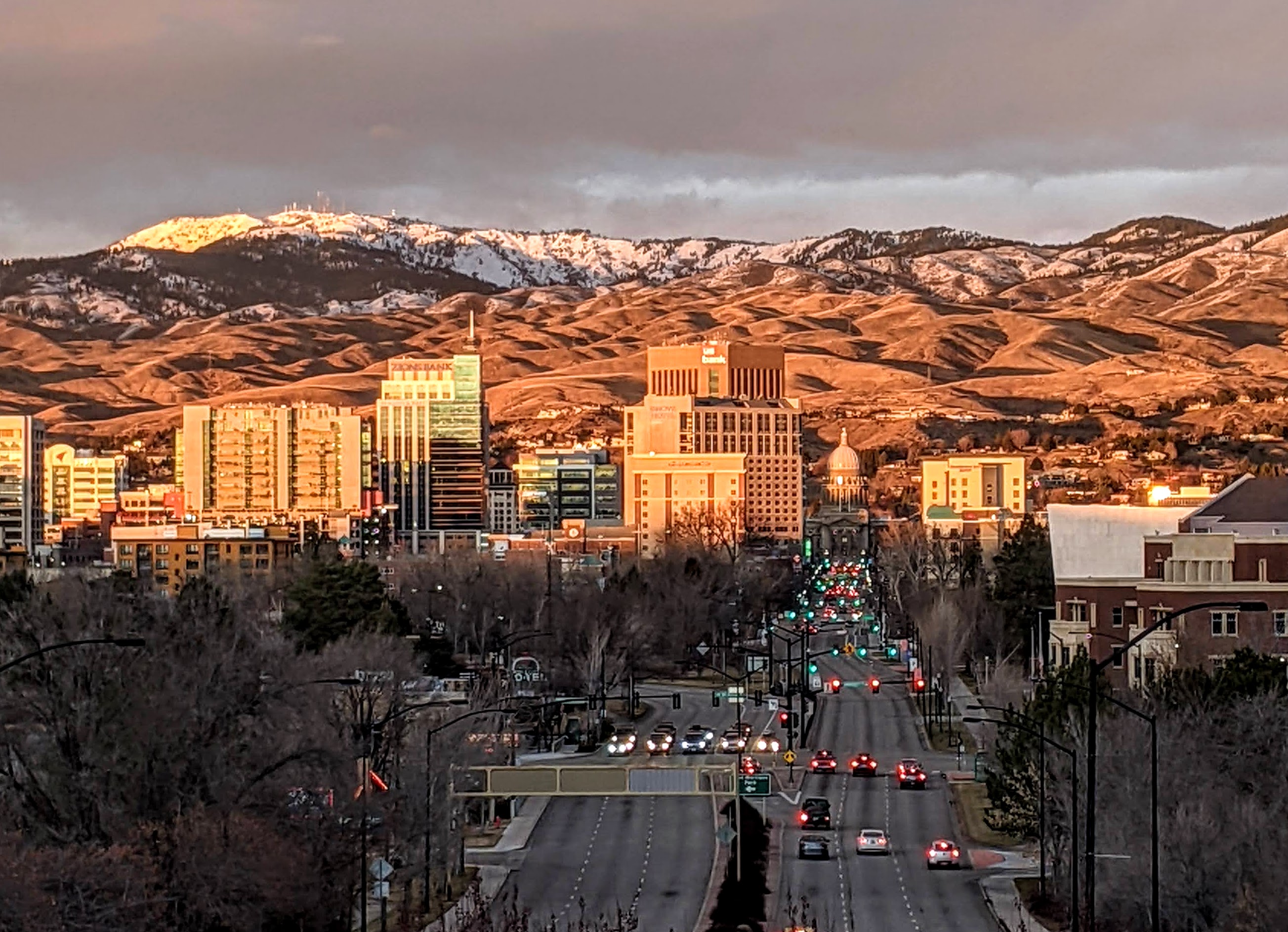
Boise (, , ) is the capital and most populous city of the U.S. state of Idaho and is the county seat of Ada County. On the Boise River in southwestern Idaho, it is east of the Oregon border and north of the Nevada border. The downtown area's elevation is above sea level. The population according to the 2020 US Census was 235,684. The Boise metropolitan area, also known as the Treasure Valley, includes five counties with a combined population of 749,202, the most populous metropolitan area in Idaho. It contains the state's three largest cities: Boise, Nampa, and Meridian. Boise is the 77th most populous metropolitan statistical area in the United States. Downtown Boise is the cultural center and home to many small businesses and a number of high-rise buildings. The area has a variety of shops and restaurants. Centrally, 8th Street contains a pedestrian zone with sidewalk cafes and restaurants. The neighborhood has many local restaurants, bars, and boutiques. The are ... [...More Info...] [...Related Items...] OR: [Wikipedia] [Google] [Baidu] |
Idaho State Highway 55
State Highway 55 (SH-55) is an Idaho highway from Marsing to New Meadows, connecting with US-95 at both ends. From Marsing it travels east to Nampa, Meridian, and Eagle, then north to Horseshoe Bend. SH-55 then climbs the Payette River to Banks, then its north fork to the Long Valley, through the towns of Cascade and McCall. After descending a narrow canyon to Meadows, SH-55 terminates in New Meadows at the junction with US-95. Route description In the southwest corner of Idaho, State Highway 55 starts at the junction with US-95, approximately west of Marsing. The highway heads eastward as it travels through Marsing, crosses the Snake River and the Snake River Valley AVA. The highway continues east to Nampa (mostly as Karcher Road), where it meets Interstate 84 and The highway is cosigned with those routes as it heads eastward to Meridian. SH-55 turns northward at Eagle Road and crosses the Boise River near Eagle. The junction with SH-44 is in Eagle, where the ... [...More Info...] [...Related Items...] OR: [Wikipedia] [Google] [Baidu] |
Eagle, Idaho
Eagle is a city in Ada County, Idaho, 10 miles northwest of Boise. The population was 30,346 at the time of the 2020 census. Geography According to the United States Census Bureau, the city has a total area of , of which is land and is water. Climate This region experiences warm to hot, dry summers, and cold, dry winters averaging 10 inches of snow, with summer high temperatures averaging 85 °F and winter low temperatures averaging 25.6 °F. According to the Köppen climate classification system, Eagle has a "Csb" on climate maps. Demographics 2020 census At the 2020 census there were 30,346 people, 10,610 households, and 8,293 families living in the city. The population density was . There were 11,964 housing units at an average density of . The racial makeup of the city was 91.1% White, 0.4% African American, 0.5% Native American, 1.8% Asian, 0.2% Pacific Islander, 1.8% from other races, and 4.9% from two or more races. Hispanic or Latino of any race were 7.6 ... [...More Info...] [...Related Items...] OR: [Wikipedia] [Google] [Baidu] |
Idaho State Highway 16
State Highway 16 (SH-16) in Idaho is a route, connecting Emmett with US-20/ US-26 and Star. Route description Also known as the Central Valley Expressway and the Emmett Highway, Highway 16 begins at the junction of US-20/ US-26. It meets at a junction with State Highway 44, with Star to the West, and Eagle to the East. The highway continues north through Jackass Gulch and descends over 500 vertical feet (150 m) on the Freezeout Grade into the Emmett Valley. The highway then curves westward for a short distance, where it terminates at the junction with State Highway 52 just south of the Emmett city limits . History This route has been in existence since 1929. Originally, the alignment terminated in Horseshoe Bend. In 1938, the northern section of the alignment from Emmett to Horseshoe Bend was then replaced by State Highway 52. When this happened, the highway then realigned to the west, terminating in Payette. The route was truncated at its current terminus in Emmett in 195 ... [...More Info...] [...Related Items...] OR: [Wikipedia] [Google] [Baidu] |
Middleton, Idaho
Middleton is a city in Canyon County, Idaho, Canyon County, Idaho, United States. The population was 5,524 at the 2010 United States Census, 2010 census, up from 2,978 in 2000.Spokesman-Review - 2010 census - Middleton, Idaho - accessed 2011-12-14 It is part of the Boise, Idaho, Boise City–Nampa, Idaho, Nampa, Idaho Boise metropolitan area, Metropolitan Statistical Area. History Middleton was named for its location between the old fort Boise and Keeney's Ferry; it being the midpoint between the two. It served as a rest stop for those heading for Keeney's Ferry. It had a stage station in the early days of the Oregon Trail, a post office in 1866 and a water powered grist mill in 1871. The Ward Massacre occurred near the site in 1854. Middleton is the oldest settlement in Canyon County, with the ...[...More Info...] [...Related Items...] OR: [Wikipedia] [Google] [Baidu] |


