|
Idaho State Highway 24
State Highway 24 (SH-24) is a long state highway in Idaho that runs east west from Shoshone, Idaho on the far west to Minidoka and Acequia on the far east. Route description SH-24 begins at I-84 near Rupert. It passes Dietrich, Owinza, and Kimima and runs approximately north of Paul and Burley and 15 miles north of Rupert. The highway ends at U.S. Highway 93 in Shoshone. It also runs parallel to U.S. Highway 30 and Interstate 84 south, and is parallel to a major Union Pacific railroad line as well. Junction list See also * List of state highways in Idaho * List of highways numbered 24 References External links 024 4 (four) is a number, numeral (linguistics), numeral and numerical digit, digit. It is the natural number following 3 and preceding 5. It is the smallest semiprime and composite number, and is tetraphobia, considered unlucky in many East Asian c ... Transportation in Minidoka County, Idaho Transportation in Lincoln County, Idaho ... [...More Info...] [...Related Items...] OR: [Wikipedia] [Google] [Baidu] |
Idaho Transportation Department
The Idaho Transportation Department (ITD) is the state of Idaho governmental organization responsible for state transportation infrastructure. This includes ongoing operations and maintenance as well as planning for future needs of the state and its citizens. The agency is responsible for overseeing the disbursement of federal, state, and grant funding for transportation programs in the state. Overview Idaho's state transportation system consists of more than (lane miles) of roads, more than 1,800 bridges, approximately of rail lines, 126 public-use airports, and the Port of Lewiston. The agency is also responsible for 29 rest areas and 12 ports of entry. History The Idaho Legislature created the State Highway Commission in 1913. The group consisted of the Secretary of State, the State Engineer and three other members to be appointed by the governor. The Commission was empowered to: *plan, build and maintain new state highways *alter, improve or dis ... [...More Info...] [...Related Items...] OR: [Wikipedia] [Google] [Baidu] |
Dietrich, Idaho
Dietrich is a city in Lincoln County, Idaho, United States. The population was 284 at the 2020 census. Geography Dietrich is located at (42.912070, -114.264879). According to the United States Census Bureau, the city has a total area of , all of it land. Demographics 2010 census As of the census of 2010, there were 332 people, 94 households, and 72 families living in the city. The population density was . There were 103 housing units at an average density of . The racial makeup of the city was 90.1% White, 3.3% African American, 0.9% Native American, 0.3% Pacific Islander, and 5.4% from other races. Hispanic or Latino of any race were 10.2% of the population. There were 94 households, of which 48.9% had children under the age of 18 living with them, 68.1% were married couples living together, 4.3% had a female householder with no husband present, 4.3% had a male householder with no wife present, and 23.4% were non-families. 21.3% of all households were made up of individual ... [...More Info...] [...Related Items...] OR: [Wikipedia] [Google] [Baidu] |
State Highways In Idaho
The Idaho Transportation Department (ITD) is responsible for the establishment and classification of a state highway network, including of roads that are classified as Interstate Highways, U.S. Highways, and state highways within the state of Idaho in the United States. The current state highway marker consists of a white background, black numbering, and a solid black geographic outline of the state of Idaho. History During the 1920s, in lieu of numbering its highways, Idaho had a system of lettered Sampson Trails.Rand McNally Auto Road Atlas, 1926, accessed via thBroer Map Library/ref> They were marked by businessman Charles B. Sampson of Boise at no expense to the state, using orange-colored shields.Senate Concurrent Resolution No. 8, "a concurrent resolution...to permit Charles B. Sampson to extend the marking system of the Sampson Trail..." passed February 16, 1933 By 1929, the trails system had included of marked highways that covered most of the state. By the mid-1930s, ... [...More Info...] [...Related Items...] OR: [Wikipedia] [Google] [Baidu] |
List Of Highways Numbered 24
Route 24, or Highway 24, can refer to: International * European route E24 Australia * Lyell Highway (Tasmania) * Central Arnhem Road, NT Austria * Verbindungsspange Rothneusiedel Canada * Alberta Highway 24 * British Columbia Highway 24 * Manitoba Highway 24 * Ontario Highway 24 * Prince Edward Island Route 24 * Saskatchewan Highway 24 Czech Republic * part of I/24 Highway (Czech Republic), I/24 Highway; Czech: Silnice I/24 India * National Highway 24 (India) Iran * Ireland * N24 road (Ireland) Italy * Autostrada A24 Japan * Japan National Route 24 * Keinawa Expressway Korea, South * National Route 24 New Zealand * New Zealand State Highway 24 United Kingdom * British A24 (Worthing-London) United States * Interstate 24 ** Interstate 24W (former proposal) * U.S. Route 24 * New England Interstate Route 24 (former) * Alabama State Route 24 * Arizona State Route 24 * Arkansas Highway 24 * California State Route 24 ** County Route A24 (California) ** County Ro ... [...More Info...] [...Related Items...] OR: [Wikipedia] [Google] [Baidu] |
List Of State Highways In Idaho
The Idaho Transportation Department (ITD) is responsible for the establishment and classification of a state highway network, including of roads that are classified as Interstate Highways, U.S. Highways, and state highways within the state of Idaho in the United States. The current state highway marker consists of a white background, black numbering, and a solid black geographic outline of the state of Idaho. History During the 1920s, in lieu of numbering its highways, Idaho had a system of lettered Sampson Trails.Rand McNally Auto Road Atlas, 1926, accessed via thBroer Map Library/ref> They were marked by businessman Charles B. Sampson of Boise at no expense to the state, using orange-colored shields.Senate Concurrent Resolution No. 8, "a concurrent resolution...to permit Charles B. Sampson to extend the marking system of the Sampson Trail..." passed February 16, 1933 By 1929, the trails system had included of marked highways that covered most of the state. By the mid-1930s, ... [...More Info...] [...Related Items...] OR: [Wikipedia] [Google] [Baidu] |
Union Pacific
The Union Pacific Railroad , legally Union Pacific Railroad Company and often called simply Union Pacific, is a freight-hauling railroad that operates 8,300 locomotives over routes in 23 U.S. states west of Chicago and New Orleans. Union Pacific is the second largest railroad in the United States after BNSF, with which it shares a duopoly on transcontinental freight rail lines in the Western, Midwestern and Southern United States. Founded in 1862, the original Union Pacific Rail Road was part of the first transcontinental railroad project, later known as the Overland Route. Over the next century, UP absorbed the Missouri Pacific Railroad, the Chicago and North Western Transportation Company, the Western Pacific Railroad, the Missouri–Kansas–Texas Railroad and the Chicago, Rock Island and Pacific Railroad. In 1996, the Union Pacific merged with Southern Pacific Transportation Company, itself a giant system that was absorbed by the Denver and Rio Grande Western Railroad. ... [...More Info...] [...Related Items...] OR: [Wikipedia] [Google] [Baidu] |
Interstate 84 (Idaho)
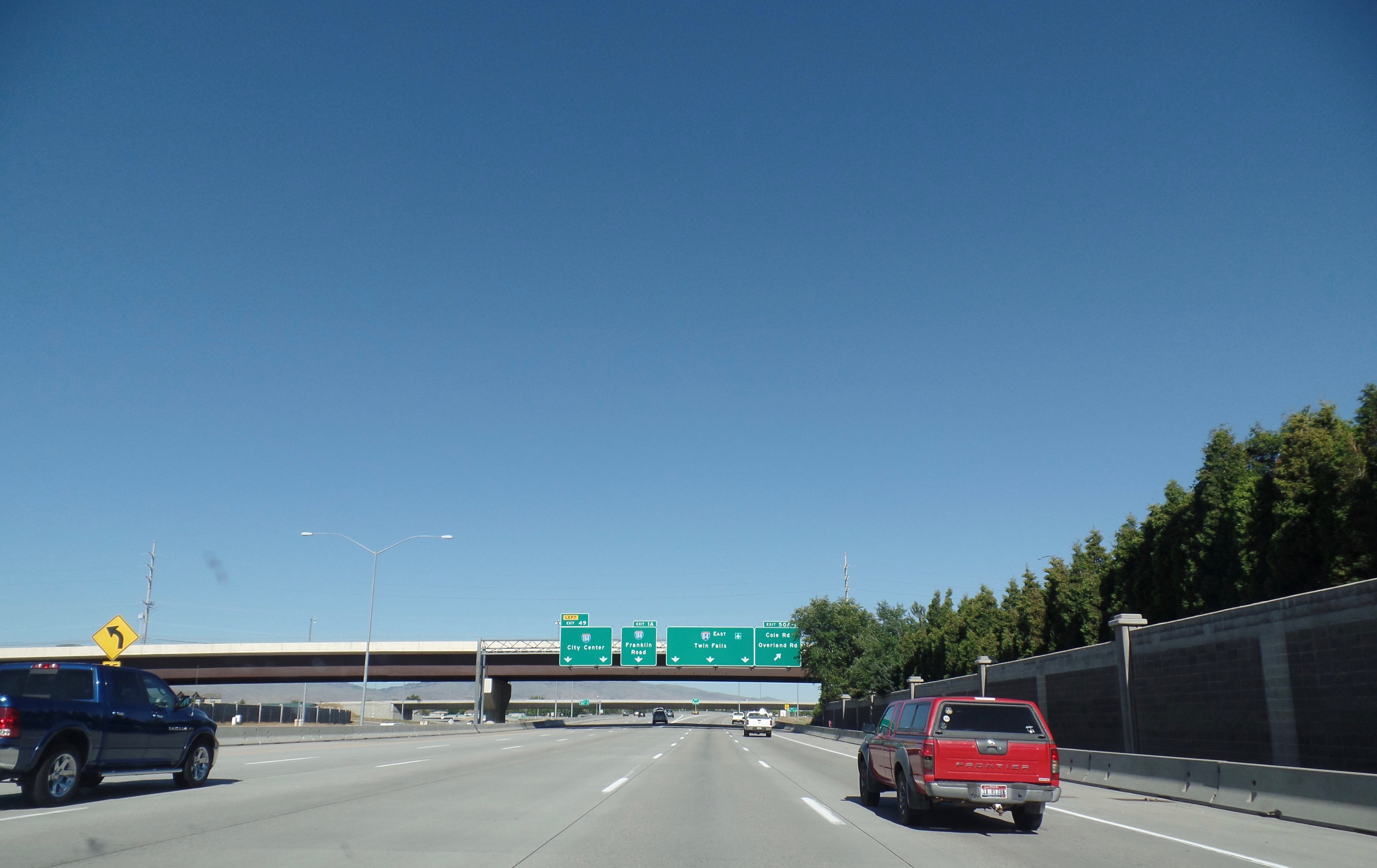
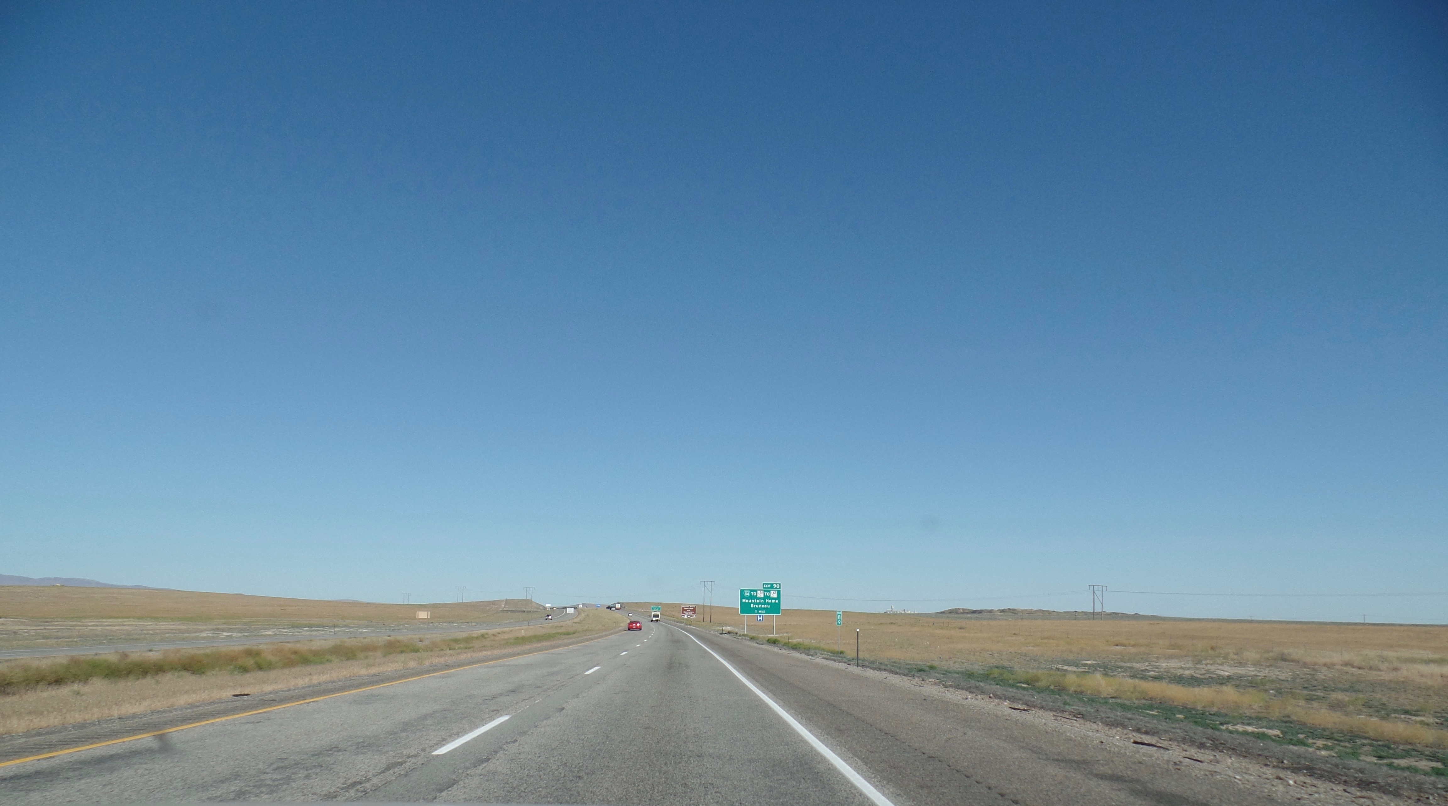
Interstate 84 (I-84) in the U.S. state of Idaho is a major Interstate Highway that traverses the state from the Oregon state line in the northwest to Utah state line in the southeast. It primarily follows the Snake River across a plain that includes the cities of Boise, Mountain Home, and Twin Falls. The highway is one of the busiest in Idaho and is designated as the Vietnam Veterans Memorial Highway. I-84 runs for within Idaho, beginning near Ontario, Oregon, and traveling concurrent with several U.S. routes through the Boise metropolitan area and Mountain Home towards Twin Falls. I-84 splits away from US 30 and the Snake River at a junction with I-86 near Declo, where it turns southeast to cross the Sublett Range into northern Utah. The highway has an auxiliary route, I-184, which serves downtown Boise. Route description I-84 is the longest Interstate highway in Idaho, running for and connecting several of the state's largest metropolitan areas. It has a single au ... [...More Info...] [...Related Items...] OR: [Wikipedia] [Google] [Baidu] |
Burley, Idaho
Burley () is a city in Cassia and Minidoka counties in southern Idaho, United States. The population was 10,345 at the 2010 census. The city is the county seat of Cassia County. Burley is the principal city of the Burley, Idaho, Micropolitan Statistical Area, which includes Cassia and Minidoka counties. Burley is the third-largest city in Idaho's Magic Valley region after Twin Falls, and Jerome. Along with nearby Rupert, it forms the bulk of the "Mini-Cassia" area of southern Idaho. History A post office called Burley has been in operation since 1905. The community was named after David Ellsworth Burley, a railroad official. Geography Most of the city lies in Cassia County, with only a small portion extending into Minidoka County. According to the United States Census Bureau, the city has a total area of , of which is land and is water. Climate Burley experiences a semi-arid climate (Köppen ''BSk'') with cold winters and hot, dry summers. The hottest temperature recor ... [...More Info...] [...Related Items...] OR: [Wikipedia] [Google] [Baidu] |
Paul, Idaho
Paul is a city in Minidoka County, Idaho, founded in 1907. The population was 1,169 at the time of the 2010 census. It is part of the Burley, Idaho Micropolitan Statistical Area. The town received its name from Charles H. Paul, an engineer who worked on the Minidoka Project. Geography According to the United States Census Bureau, the city has a total area of , of which, is land and is water. Demographics 2010 census As of the census of 2010, there were 1,169 people, 446 households, and 311 families residing in the city. The population density was . There were 473 housing units at an average density of . The racial makeup of the city was 76.6% White, 0.9% Native American, 0.8% Asian, 18.0% from other races, and 3.6% from two or more races. Hispanic or Latino of any race were 28.5% of the population. There were 446 households, of which 34.3% had children under the age of 18 living with them, 56.7% were married couples living together, 7.4% had a female householder with no ... [...More Info...] [...Related Items...] OR: [Wikipedia] [Google] [Baidu] |
I-84 (ID)
Interstate 84 (I-84) in the U.S. state of Idaho is a major Interstate Highway that traverses the state from the Oregon state line in the northwest to Utah state line in the southeast. It primarily follows the Snake River across a plain that includes the cities of Boise, Mountain Home, and Twin Falls. The highway is one of the busiest in Idaho and is designated as the Vietnam Veterans Memorial Highway. I-84 runs for within Idaho, beginning near Ontario, Oregon, and traveling concurrent with several U.S. routes through the Boise metropolitan area and Mountain Home towards Twin Falls. I-84 splits away from US 30 and the Snake River at a junction with I-86 near Declo, where it turns southeast to cross the Sublett Range into northern Utah. The highway has an auxiliary route, I-184, which serves downtown Boise. Route description I-84 is the longest Interstate highway in Idaho, running for and connecting several of the state's largest metropolitan areas. It has a single au ... [...More Info...] [...Related Items...] OR: [Wikipedia] [Google] [Baidu] |
Rupert, Idaho
Rupert is the county seat and largest city of Minidoka County, Idaho,. It is part of the Burley Micropolitan Statistical Area. The population was 5,554 at the 2010 census.quickfacts.census.gov Rupert, Idaho , , 2010. Accessed 2011-12-11. Rupert, founded in 1906, sprung up after the announcement of the Minidoka Reclamation Project, which provided irrigation and electricity following the completion of the in 1906. After the dam was built, Rupert became one of the first cities in the world to have its str ... [...More Info...] [...Related Items...] OR: [Wikipedia] [Google] [Baidu] |
Acequia, Idaho
Acequia (pronounced ''ah-SEE-kwa'') is a city in Minidoka County, Idaho, United States. The population was 131 at the 2020 census. It is part of the Burley, Idaho Micropolitan Statistical Area. The town is named for the Spanish word for canal.Lalia Boone. ''Idaho Place Names: A Geographical Dictionary''. University of Idaho Press, 1988, p. 1. Geography Acequia is located at (42.668387, -113.595046). Acequia is about 5 miles (8.3 kilometers) northeast of Rupert on State Highway 24. According to the United States Census Bureau, the city has a total area of , of which, is land and is water. Demographics 2010 census As of the census of 2010, there were 124 people, 43 households, and 33 families residing in the city. The population density was . There were 45 housing units at an average density of . The racial makeup of the city was 66.9% White, 0.8% African American, 4.0% Native American, 23.4% from other races, and 4.8% from two or more races. Hispanic or Latino of any ... [...More Info...] [...Related Items...] OR: [Wikipedia] [Google] [Baidu] |


