|
Interstate 20 In Mississippi
Interstate 20 (I-20) is a major thoroughfare through the central region of the US state of Mississippi. Spanning , it connects Jackson and I-55 with Vicksburg and the Mississippi River in the west and Meridian and I-59 in the east. Route description Interstate 20 enters in west from Tallulah, Louisiana into Vicksburg, Mississippi. It starts with an interchange with U.S. Route 61 South towards Natchez, Mississippi and then starts to make interchanges with the city's streets. Once I-20 is out of the city it leaves the city with an Partial cloverleaf interchange with U.S. Route 61 North towards Rolling Fork, Mississippi and Mississippi Highway 27 South towards Utica, Mississippi. Along the way with Mississippi Highway 22 towards Flora, Mississippi. It then enters the Jackson area with Clinton, Mississippi and makes an interchange with U.S. Route 80 towards Clinton-Raymond Road. It then goes into Jackson with a Partial cloverleaf interchange with Mississippi Highway 18 toward ... [...More Info...] [...Related Items...] OR: [Wikipedia] [Google] [Baidu] |
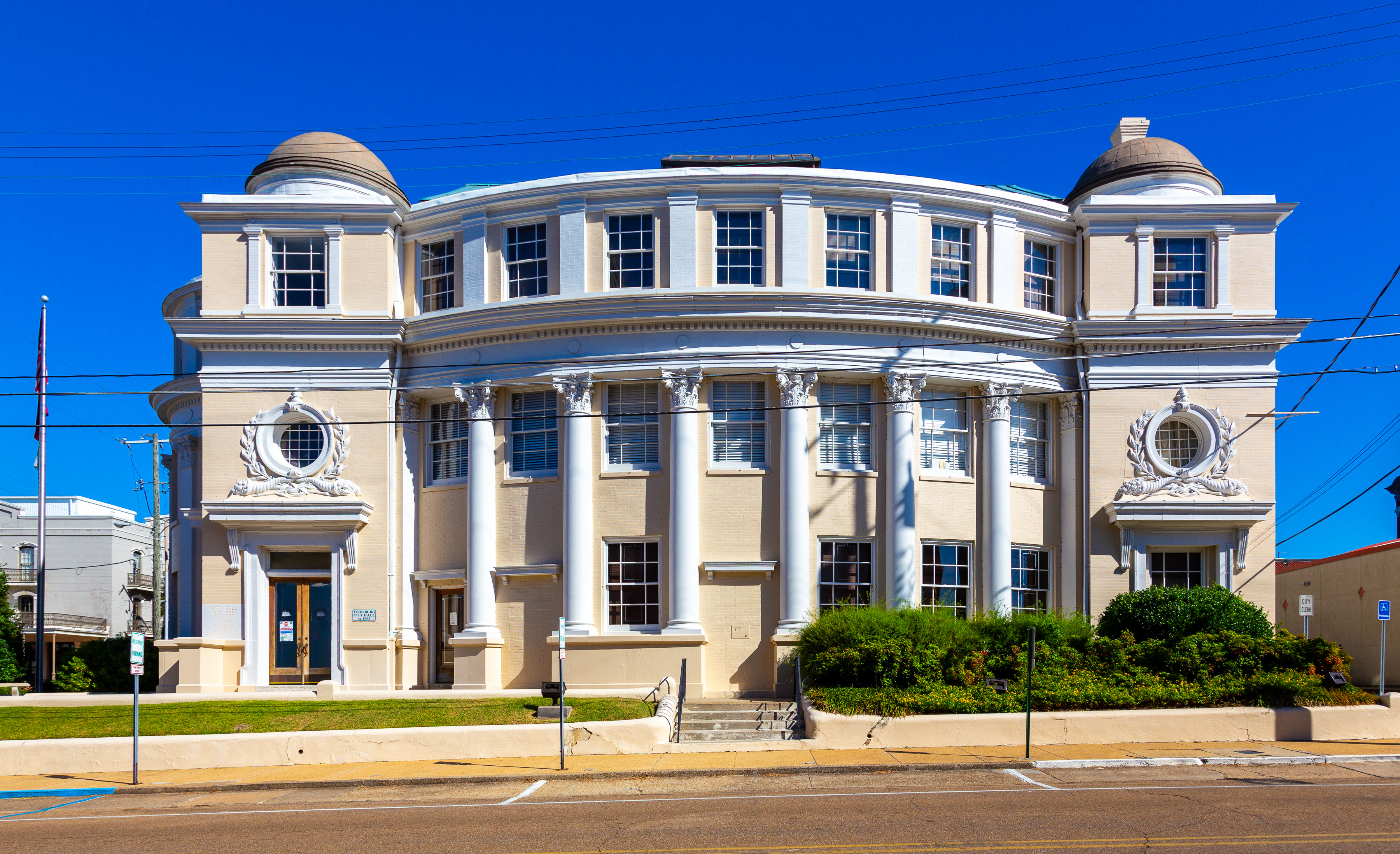
Vicksburg, Mississippi
Vicksburg is a historic city in Warren County, Mississippi, United States. It is the county seat, and the population at the 2010 census was 23,856. Located on a high bluff on the east bank of the Mississippi River across from Louisiana, Vicksburg was built by French colonists in 1719, and the outpost withstood an attack from the native Natchez people. It was incorporated as Vicksburg in 1825 after Methodist missionary Newitt Vick. During the American Civil War, it was a key Confederate river-port, and its July 1863 surrender to Ulysses S. Grant, along with the concurrent Battle of Gettysburg, marked the turning-point of the war. The city is home to three large installations of the United States Army Corps of Engineers, which has often been involved in local flood control. Status Vicksburg is the only city in, and the county seat of, Warren County, Mississippi, United States. It is located northwest of New Orleans at the confluence of the Mississippi and Yazoo rivers, and ... [...More Info...] [...Related Items...] OR: [Wikipedia] [Google] [Baidu] |
Partial Cloverleaf Interchange
A partial cloverleaf interchange or parclo is a modification of a cloverleaf interchange. The design has been well received, and has since become one of the most popular freeway-to-arterial interchange designs in North America. It has also been used occasionally in some European countries, such as Germany, Hungary, Italy, the Netherlands, and the United Kingdom. Comparison with other interchanges *A diamond interchange has four ramps. *A cloverleaf interchange has eight ramps, as does a stack interchange. They are fully grade separated, unlike a parclo, and have traffic flow without stops on all ramps and throughways. *A parclo generally has either four or six ramps but less commonly has five ramps. Naming In Ontario, the specific variation is identified by a letter/number suffix after the name. Ontario's naming conventions are used in this article. The letter ''A'' designates that two ramps meet the freeway ''ahead'' of the arterial road, while ''B'' designates that two ram ... [...More Info...] [...Related Items...] OR: [Wikipedia] [Google] [Baidu] |
Hattiesburg, Mississippi
Hattiesburg is a city in the U.S. state of Mississippi, located primarily in Forrest County, Mississippi, Forrest County (where it is the county seat and largest city) and extending west into Lamar County, Mississippi, Lamar County. The city population was 45,989 at the 2010 United States Census, 2010 census, with the population now being 48,730 in 2020. Hattiesburg is the principal city of the Hattiesburg metropolitan area, Hattiesburg Metropolitan Statistical Area, which encompasses Covington County, Mississippi, Covington, Forrest County, Mississippi, Forrest, Lamar County, Mississippi, Lamar, and Perry County, Mississippi, Perry counties. The city is located in the Pine Belt (Mississippi), Pine Belt region. Development of the interior of Mississippi by European Americans took place primarily after the American Civil War. Before that time, only properties along the major rivers were developed as plantations. Founded in 1882 by civil engineer William H. Hardy, Hattiesburg was na ... [...More Info...] [...Related Items...] OR: [Wikipedia] [Google] [Baidu] |
Collins, Mississippi
Collins is a city in Covington County, Mississippi, United States. The population was 2,586 at the 2010 census. It is the county seat of Covington County. History From Williamsburg Depot to Collins Collins was originally incorporated as Williamsburg Depot in 1899. The Gulf and Ship Island Railroad had completed construction, and bypassed Williamsburg, the county seat at that time. The sawmills moved to the new town of Williamsburg Depot in order to be closer to the railroad. As lumber was an important industry during the time, the town moved with them. Not long after, Williamsburg Depot grew to a town of 6,000 - 7,000 people. Eventually, the difficulties of having such a long town name, Williamsburg Depot, became clear. The length caused many people to write it over their stamps, voiding the postage. In order to correct this issue, the postmaster asked to have the town name changed in 1905, and the postal service came up with a short and easy name "Bad". For reasons that may be ... [...More Info...] [...Related Items...] OR: [Wikipedia] [Google] [Baidu] |
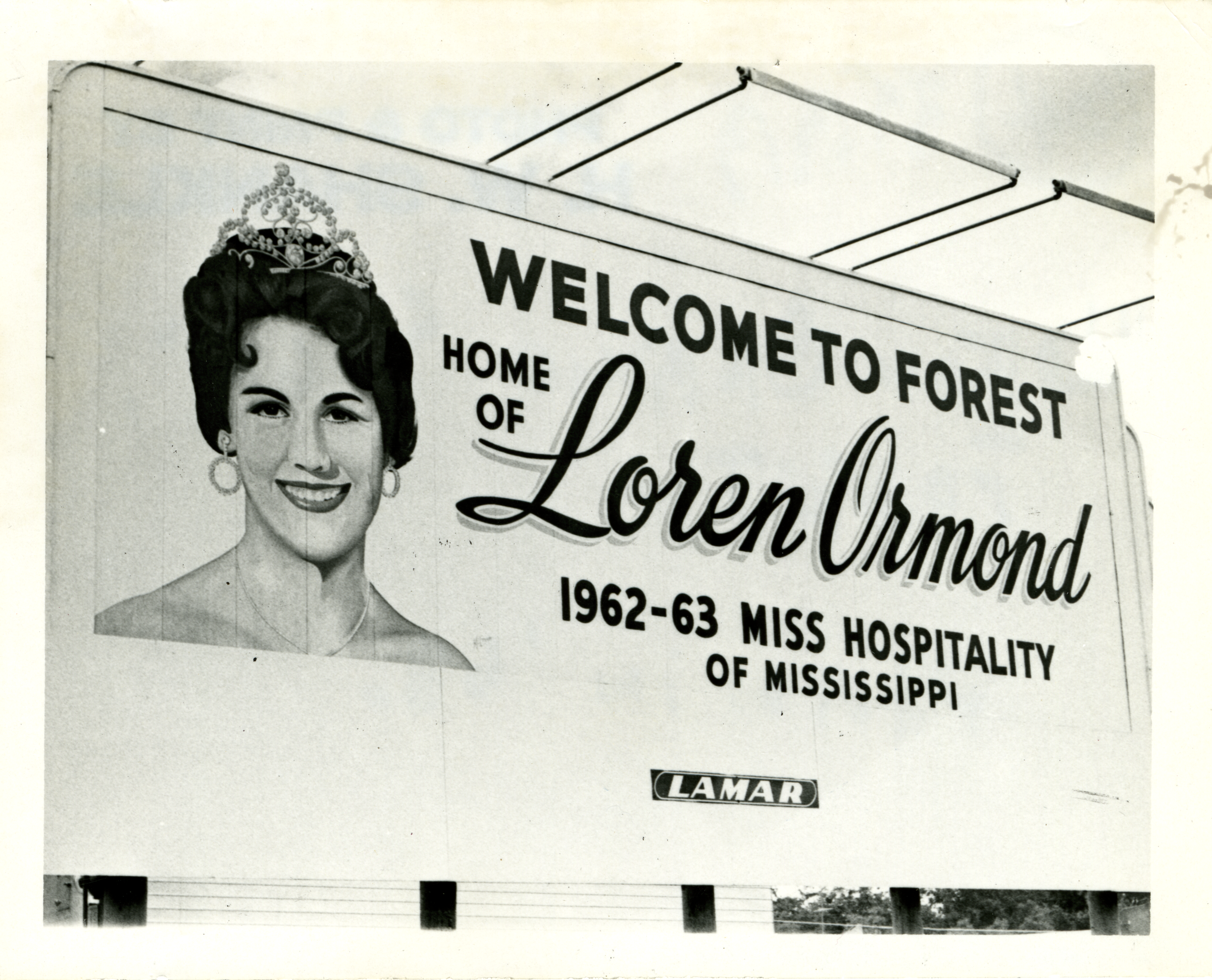
Forest, Mississippi
Forest is a city and the county seat of Scott County, Mississippi, United States. The population was 5,684 at the 2010 census and the population is a minority-majority. Geography According to the United States Census Bureau, the city has a total area of , of which is land and (0.15%) is water. Demographics 2020 census As of the 2020 United States Census, there were 5,430 people, 1,987 households, and 1,165 families residing in the city. 2000 census As of the census of 2000, there were 5,987 people, 2,085 households, and 1,478 families residing in the city. The population density was 460.0 people per square mile (177.7/km2). There were 2,257 housing units at an average density of 173.4 per square mile (67.0/km2). The racial makeup of the city was 40.35% White (U.S. Census), White, 50.88% African American (U.S. Census), African American, 0.40% Native American (U.S. Census), Native American, 0.53% Asian (U.S. Census), Asian, 0.07% Pacific Islander (U.S. Census), Pacific Island ... [...More Info...] [...Related Items...] OR: [Wikipedia] [Google] [Baidu] |
Memphis, Tennessee
Memphis is a city in the U.S. state of Tennessee. It is the seat of Shelby County in the southwest part of the state; it is situated along the Mississippi River. With a population of 633,104 at the 2020 U.S. census, Memphis is the second-most populous city in Tennessee, after Nashville. Memphis is the fifth-most populous city in the Southeast, the nation's 28th-largest overall, as well as the largest city bordering the Mississippi River. The Memphis metropolitan area includes West Tennessee and the greater Mid-South region, which includes portions of neighboring Arkansas, Mississippi and the Missouri Bootheel. One of the more historic and culturally significant cities of the Southern United States, Memphis has a wide variety of landscapes and distinct neighborhoods. The first European explorer to visit the area of present-day Memphis was Spanish conquistador Hernando de Soto in 1541. The high Chickasaw Bluffs protecting the location from the waters of the Mississipp ... [...More Info...] [...Related Items...] OR: [Wikipedia] [Google] [Baidu] |
Interstate 220 (Mississippi)
Interstate 220 (I-220) in Mississippi is a loop around Jackson that provides an Interstate connection for I-55 and I-20. The northern terminus for the route is in the northern suburb of Ridgeland, at I-55 exit 104. The highway was Mississippi's first three-digit Interstate, complete by 1981. This route provides a route for traffic going to and from the western side of the city. It also provides an alternate route for those heading from I-55 south to I-20 west and from I-20 east to I-55 north by avoiding downtown Jackson. The southern terminus for the route is in western Jackson at I-20, exit 41. The route is about long. Although control cities of North Jackson and West Jackson are used at the southern and northern termini, respectively, no control cities are used along the interior length of the route (including guide signs at interchanges). Secondary signs at the termini direct drivers to use the route as a shortcut to Memphis, Tennessee and Vicksburg. Route de ... [...More Info...] [...Related Items...] OR: [Wikipedia] [Google] [Baidu] |
Raymond, Mississippi
Raymond is a city in Hinds County, Mississippi, United States. As of the 2010 census, the city population was 1,933; in 2020, its population was 1,960. Raymond is one of two county seats of Hinds County (along with Jackson) and is the home of the main campus of Hinds Community College. Raymond is part of the Jackson metropolitan statistical area. History In 1829, three commissioners, including John B. Peyton, were appointed by U.S. President Andrew Jackson to find a place near the center of Hinds County for the county seat. The current location of Raymond is a ridge about a mile from the center of the county, and was selected because the actual center was low and subject to flooding. The town of Raymond received its charter from the Mississippi legislature on December 15, 1830. Because of its status as a seat of justice and its proximity to the Natchez Trace, Raymond developed quickly into a prosperous small town whose prosperity and small size have continued to this day. In the ... [...More Info...] [...Related Items...] OR: [Wikipedia] [Google] [Baidu] |
Mississippi Highway 18
Mississippi Highway 18 (MS 18) is a state highway stretching across central Mississippi, from just a couple miles inland of the Mississippi River, through the state capital of Jackson, to the Alabama state line. It runs from east to west for , serving 7 counties: Claiborne, Copiah, Hinds, Rankin, Smith, Jasper, and Clarke. Route description MS 18 begins in Claiborne County in Port Gibson at an intersection with US 61, just across the Little Bayou Pierre from downtown. It heads east as a two-lane highway through neighborhoods before leaving Port Gibson at an interchange with the Natchez Trace Parkway. The highway travels through somewhat hilly terrain for the next several miles, where it passes through Hermanville and Carlisle, before entering Copiah County. MS 18 travels through the northwestern corner of the county, where it passes through Carpenter, crosses Bayou Pierre, and passes by the Utica campus of Hinds Community College, before entering Hinds County. MS 1 ... [...More Info...] [...Related Items...] OR: [Wikipedia] [Google] [Baidu] |
Clinton, Mississippi
Clinton is a city in Hinds County, Mississippi, United States. Situated in the Jackson metropolitan area, it is the tenth largest city in Mississippi. The population was 28,100 at the 2020 United States census. History Founded in 1823, Clinton was originally known as Mt. Salus, which means "Mountain of health". It was named for the plantation home of Walter Leake, third governor of Mississippi, which was located in Clinton and built in 1812. The road east from Vicksburg was completed to Mount Salus and the federal government located the district land office at Mount Salus in 1822. The original federal survey in 1822 references a spring called "Swafford's Spring" at the site of the town. In 1828, the city changed its name to Clinton in honor of DeWitt Clinton, the former governor of New York who led completion of the Erie Canal. The first road through Mount Salus/Clinton was the Natchez Trace, improved from a centuries-old Native American path. Currently Clinton has three majo ... [...More Info...] [...Related Items...] OR: [Wikipedia] [Google] [Baidu] |
Flora, Mississippi
Flora is a town in Madison County, Mississippi, United States. The population was 1,886 at the 2010 census. It is part of the Jackson Metropolitan Statistical Area. The town is named after Flora Mann Jones, an early resident. History Graves in Flora's cemetery date to 1821. A post office was established in 1883. That same year, Flora became a stop on the newly constructed Yazoo and Mississippi Valley Railroad. The railroad depot is now a museum, and is listed on the National Register of Historic Places. Flora was incorporated in 1886. Mississippi Ordnance Plant In 1941, the Mississippi Ordnance Plant was constructed north of Flora to produce propellant and igniter charges for large-caliber guns during World War II. The site also had firing ranges for sub-machine guns, rifles, anti-aircraft guns, live grenades, and demolition explosives. A notable employee was science fiction writer Cyril M. Kornbluth. The plant was operated by General Tire. It generally hired African-Amer ... [...More Info...] [...Related Items...] OR: [Wikipedia] [Google] [Baidu] |
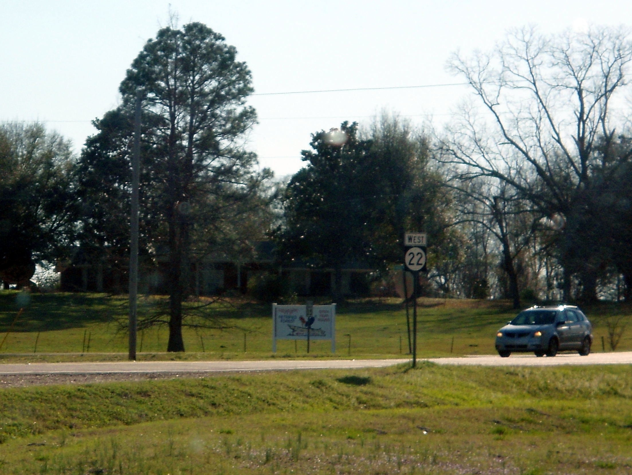
Mississippi Highway 22
Mississippi Highway 22 (MS 22) is a state highway in central Mississippi, United States. It runs from east to west for approximately , serving only two counties: Madison and Hinds, while connecting the towns of Edwards, Flora, and Canton. Route description MS 22 begins in rural western Hinds County in the town of Edwards at an intersection with MS 467 just north of downtown. It heads north to immediately have an interchange with I-20/US 80 (Exit 19) before leaving Edwards and winding its way northeast as a two-lane highway through a mix of farmland and wooded areas for the next several miles. The highway now crosses into Madison County and passes by the Mississippi Petrified Forest as it enters Flora along Peach Street to have an intersection with US 49. MS 22 enters neighborhoods and makes a left turn onto Fourth Street, which it follows northward for a few blocks before making a right onto Madison Street. The highway now enters downtown at a signalized intersection ... [...More Info...] [...Related Items...] OR: [Wikipedia] [Google] [Baidu] |


.jpg)


.jpg)
_front.jpg)

