|
Hurricane Doria
Hurricane Doria was an unusual and erratic hurricane that existed during September 1967. The fourth named storm and hurricane of the 1967 Atlantic hurricane season, Doria developed on September 8 off the east coast of Florida. It meandered until attaining tropical storm status, at which point the storm accelerated towards the northeast. On September 10, Doria intensified into a Category 2 hurricane on the modern-day Saffir–Simpson Hurricane Scale. After moving out to sea, the storm turned westward towards the United States. A compact cyclone, Doria weakened to a tropical storm shortly before moving ashore in the Mid-Atlantic States. The storm ultimately dissipated on September 21. The storm, which ultimately made landfall near the Virginia–North Carolina border, produced high winds along the coast from New Jersey through North Carolina. A small boat sank off the coast of New Jersey, killing three of its occupants. Overall damage was estimated around $150,000 (1967 USD ... [...More Info...] [...Related Items...] OR: [Wikipedia] [Google] [Baidu] |
East Coast Of The United States
The East Coast of the United States, also known as the Eastern Seaboard, the Atlantic Coast, and the Atlantic Seaboard, is the coastline along which the Eastern United States meets the North Atlantic Ocean. The eastern seaboard contains the coastal states and areas east of the Appalachian Mountains that have shoreline on the Atlantic Ocean, namely, Maine, New Hampshire, Massachusetts, Rhode Island, Connecticut, New York, New Jersey, Delaware, Maryland, Virginia, North Carolina, South Carolina, Georgia, and Florida.General Reference Map , , 2003. Toponymy and composition T ...[...More Info...] [...Related Items...] OR: [Wikipedia] [Google] [Baidu] |
1933 Chesapeake–Potomac Hurricane
The 1933 Chesapeake–Potomac hurricane was among the most damaging hurricanes in the Mid-Atlantic states in the eastern United States. The sixth storm and third hurricane of the very active 1933 Atlantic hurricane season, it formed in the eastern Atlantic, where it moved west-northwestward and eventually became a Category 4 on the Saffir-Simpson hurricane wind scale. A strong ridge over New England allowed a continued northwest course, bringing the storm south of Bermuda and later toward the middle coast of the eastern United States. Advance warning allowed hundreds of people to evacuate ahead of the hurricane making landfall. It did so in northeastern North Carolina on August 23 with winds of about 90 mph (150 km/h). Soon after, the eye crossed over Norfolk, Virginia, the first time that happened since 1821. The hurricane weakened into a tropical storm over northern Virginia shortly before passing near Washington, D.C., becoming the worst tropical cyclone ther ... [...More Info...] [...Related Items...] OR: [Wikipedia] [Google] [Baidu] |
Ipswich, Massachusetts
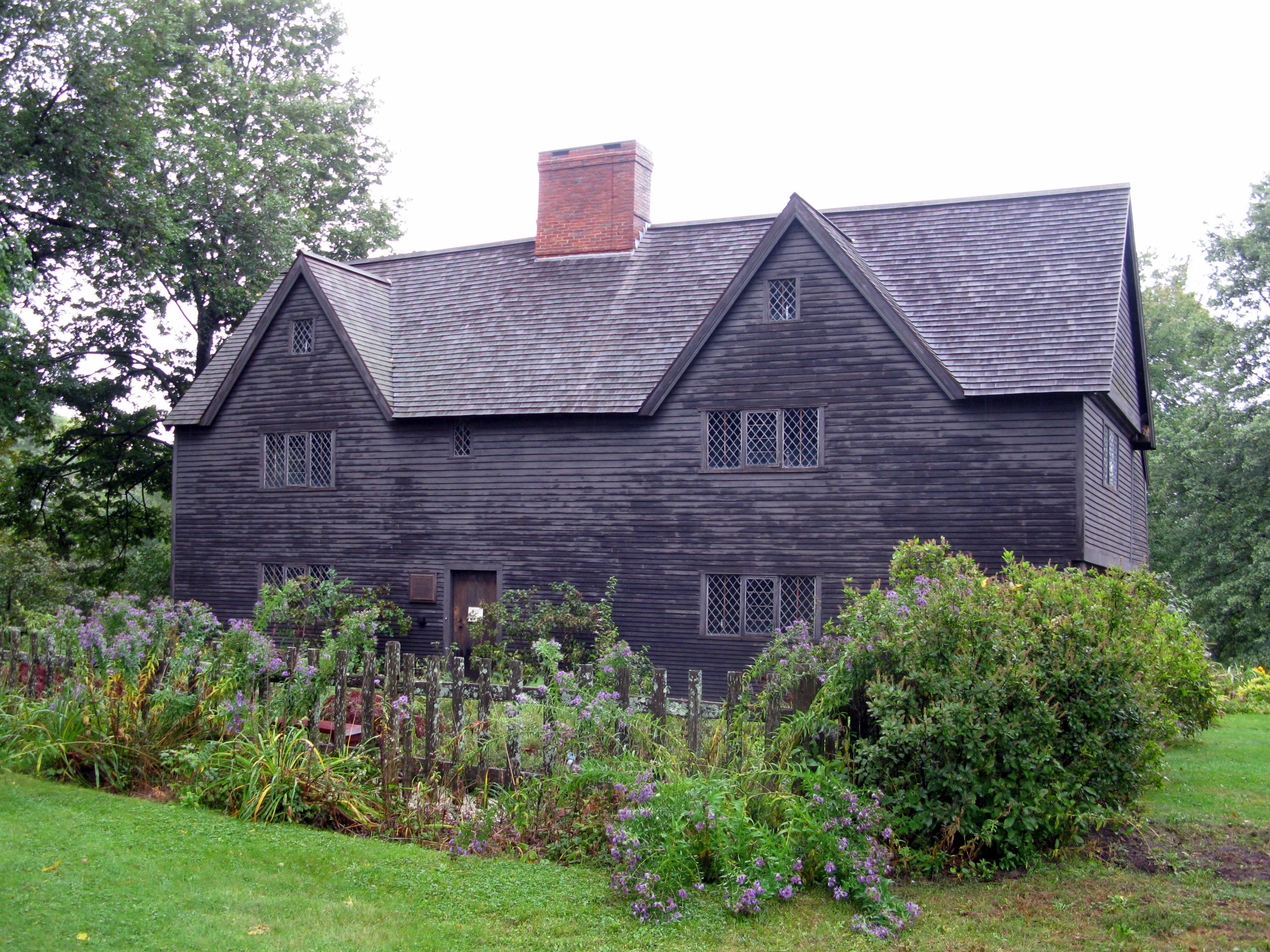
Ipswich is a coastal town in Essex County, Massachusetts, United States. The population was 13,785 at the 2020 census. Home to Willowdale State Forest and Sandy Point State Reservation, Ipswich includes the southern part of Plum Island. A residential community with a vibrant tourism industry, the town is famous for its clams, celebrated annually at the Ipswich Chowderfest, and for Crane Beach, a barrier beach near the Crane estate. Ipswich was incorporated as a town in 1634. History Ipswich was founded by John Winthrop the Younger, son of John Winthrop, one of the founders of the Massachusetts Bay Colony in 1630 and its first governor, elected in England in 1629. Several hundred colonists sailed from England in 1630 in a fleet of 11 ships, including Winthrop's flagship, the ''Arbella''. Investigating the region of Salem and Cape Ann, they entertained aboard the ''Arbella'' for a day, June 12, 1630, a native chief of the lands to the north, Chief Masconomet. The event was record ... [...More Info...] [...Related Items...] OR: [Wikipedia] [Google] [Baidu] |
Cabin Cruiser
A cabin cruiser is a type of power boat that provides accommodation for its crew and passengers inside the structure of the craft. A cabin cruiser usually ranges in size from in length, with larger pleasure craft usually considered yachts. Many cabin cruisers can be recovered and towed with a trailer and thus easily stored on land, which reduces maintenance and expense. These craft are generally equipped with a head (toilet), a galley, and at least one berth. Most cabin cruisers usually have a small dining area and some have an aft cabin (a cabin to the rear of the cockpit, with a double bed). Some cabin cruisers are equipped with heating, air conditioning, and power generators. Most also have water heaters and shore power electric systems. The cabin cruiser provides many of the amenities of larger yachts, while costing much less and normally being fully operable by the owner, whereas larger yachts often require a professional crew. Most newer cabin cruisers are faster than ol ... [...More Info...] [...Related Items...] OR: [Wikipedia] [Google] [Baidu] |
Ocean City, New Jersey
Ocean City is a city in Cape May County, in the U.S. state of New Jersey. It is the principal city of the Ocean City metropolitan statistical area, which encompasses all of Cape May County and is part of the Philadelphia- Wilmington- Camden, PA-NJ- DE- MD combined statistical area. It is part of the South Jersey region of the state. As of the 2010 U.S. census, the city's population was 11,229, a decrease of 472 from the 2010 census count of 11,701,DP-1 - Profile of General Population and Housing Characteristics: 2010 for Ocean City city, Cape May County, New Jersey , |
Atlantic City, New Jersey
Atlantic City, often known by its initials A.C., is a coastal resort city in Atlantic County, New Jersey, United States. The city is known for its casinos, boardwalk, and beaches. In 2020, the city had a population of 38,497.QuickFacts Atlantic City city, New Jersey . Accessed November 9, 2022. It was incorporated on May 1, 1854, from portions of and [...More Info...] [...Related Items...] OR: [Wikipedia] [Google] [Baidu] |
Prefabricated Home
Prefabricated homes, often referred to as prefab homes or simply prefabs, are specialist dwelling types of prefabricated building, which are manufactured off-site in advance, usually in standard sections that can be easily shipped and assembled. Some current prefab home designs include architectural details inspired by postmodernism or futurist architecture. "Prefabricated" may refer to buildings built in components (e.g. panels), modules (modular homes) or transportable sections (manufactured homes), and may also be used to refer to mobile homes, i.e., houses on wheels. Although similar, the methods and design of the three vary widely. There are two-level home plans, as well as custom home plans. There are considerable differences in the construction types. In the U.S., mobile and manufactured houses are constructed in accordance with HUD building codes, while modular houses are constructed in accordance with the IRC (International Residential Code). *Modular homes are created ... [...More Info...] [...Related Items...] OR: [Wikipedia] [Google] [Baidu] |
Wallops Island
Wallops Island is a island in Accomack County, Virginia, part of the Virginia Barrier Islands that stretch along the eastern seaboard of the United States of America. It is just south of Chincoteague Island, a popular tourist destination. Wallops Island proper, originally known as Kegotank Island, was granted to John Wallop by the Crown on April 29, 1692. Ownership was divided through the years, until the Commonwealth of Virginia seized the property in 1876 and 1877 in lieu of unpaid taxes. From 1877, ownership was again divided and subdivided until 1889, when it was held by various trustees for the Wallops Island Club. The Club was incorporated and assumed ownership in 1933 as the Wallops Island Association, Inc. Association members and their families spent the summers fishing and swimming on the island. The Association grazed sheep, cattle, and ponies on the area until the mid-1940s. In 1947, the U.S. Navy began using the upper two-thirds of the island on a lease-rental bas ... [...More Info...] [...Related Items...] OR: [Wikipedia] [Google] [Baidu] |
Whiteville, North Carolina
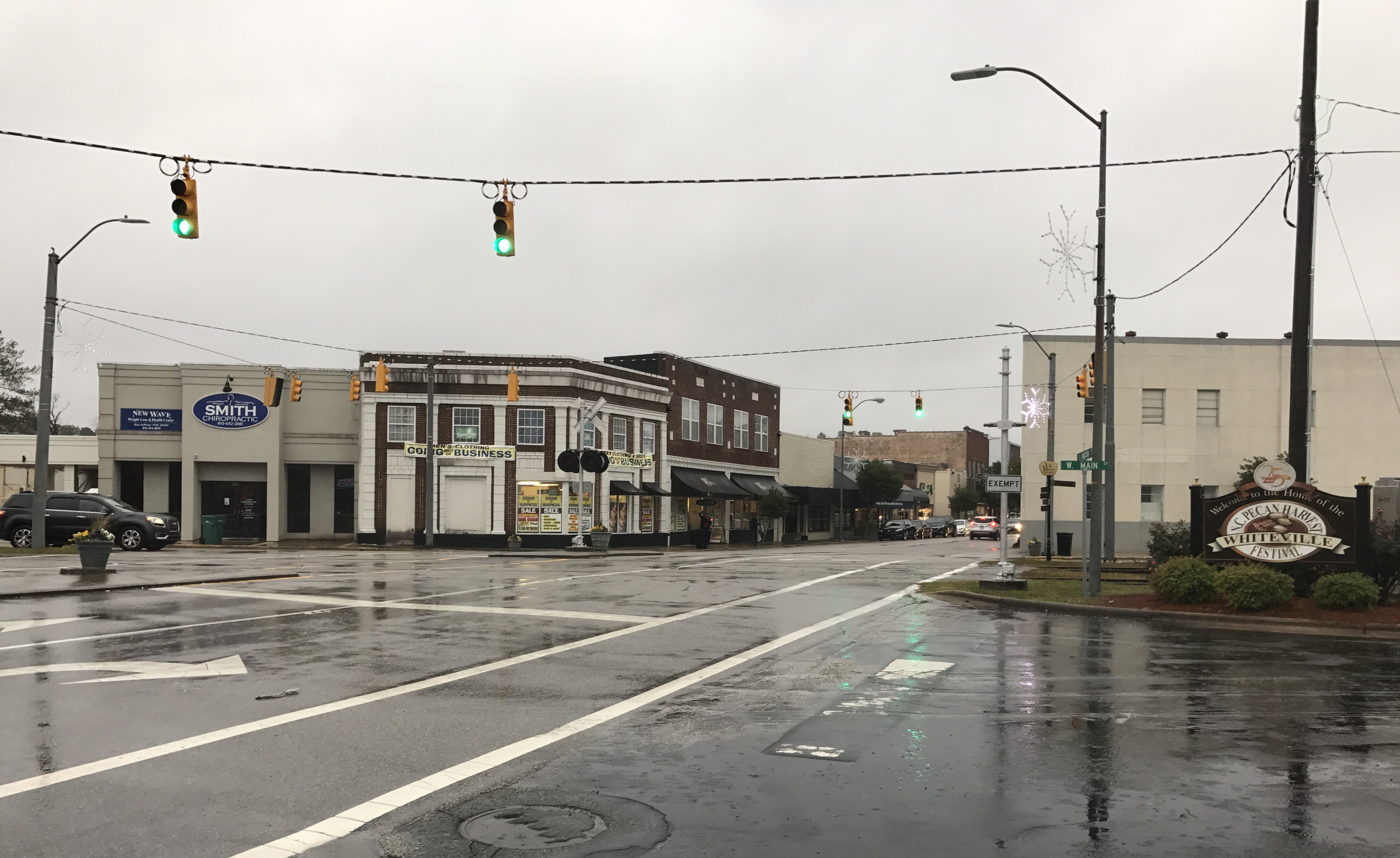
Whiteville is a city in Columbus County, North Carolina, United States. The population was 5,394 at the 2010 census. It is the largest city in Columbus County and is the county seat. History Columbus County was created in 1808. In 1810, a community was platted on land owned by James B. White for the purpose of creating a county seat and establishing government buildings. It was originally known as White's Crossing before being incorporated under its present name in 1832. A post office called Whiteville has been in operation since 1821. The town was sacked by Union forces during the latter stages of the American Civil War. In 1950, Whiteville fielded a professional minor league baseball team in the Class D Tobacco State League. The Whiteville Tobs club lasted only one season before disbanding with the entire league. The Columbus County Courthouse was listed on the National Register of Historic Places in 1983. Geography Whiteville is located in north-central Columbus County at ... [...More Info...] [...Related Items...] OR: [Wikipedia] [Google] [Baidu] |
Coastal Flooding
Coastal flooding normally occurs when dry and low-lying land is submerged by seawater. The range of a coastal flooding is a result of the elevation of floodwater that penetrates the inland which is controlled by the topography of the coastal land exposed to flooding. Flood damage modelling was limited to local, regional or national scales. However, with the presence of climate change and an increase in the population rates, flood events have intensified and called for a global interest in finding out different methods with both spatial and temporal dynamics. The seawater can flood the land via several different paths: direct flooding, overtopping of a barrier, breaching of a barrier. Coastal flooding is largely a natural event, however human influence on the coastal environment can exacerbate coastal flooding. Extraction of water from groundwater reservoirs in the coastal zone can instigate subsidence of the land, thus increasing the risk of flooding. Engineered protection struc ... [...More Info...] [...Related Items...] OR: [Wikipedia] [Google] [Baidu] |
Ocean City, Maryland
Ocean City, officially the Town of Ocean City, is an Atlantic Ocean, Atlantic resort town in Worcester County, Maryland, Worcester County, Maryland along the East Coast of the United States. The population was 6,844 at the 2020 United States census, 2020 U.S. census, although during summer weekends the city hosts between 320,000 and 345,000 vacationers, and up to 8 million visitors annually. During the summer, Ocean City becomes the second most populated municipality in Maryland, after Baltimore. To the north of Ocean City is Fenwick Island (Delaware–Maryland), Fenwick Island, it is part of the Salisbury, MD-DE Metropolitan Statistical Area, as defined by the United States Census Bureau. History The land upon which the city was built, as well as much of the surrounding area, was obtained by Englishman Thomas Fenwick from the Native Americans. In 1869, businessman Isaac Coffin built the first beach-front cottage to receive paying guests. During those days, people arrived by stag ... [...More Info...] [...Related Items...] OR: [Wikipedia] [Google] [Baidu] |
Tropical Cyclone Watches And Warnings
Tropical cyclone warnings and watches are alerts issued by national weather forecasting bodies to coastal areas threatened by the imminent approach of a tropical cyclone of tropical storm or hurricane intensity. They are notices to the local population and civil authorities to make appropriate preparation for the cyclone, including evacuation of vulnerable areas where necessary. It is important that interests throughout the area of an alert make preparations to protect life and property, and do not disregard it on the strength of the detailed forecast track. Western hemisphere New tropical cyclone position and forecast information is available at least every twelve hours in the Southern Hemisphere and at least every six hours in the Northern Hemisphere from Regional Specialized Meteorological Centers and Tropical Cyclone Warning Centers. In conjunction with the National Hurricane Center, the national meteorological and hydrological services of Central America, the northern Atlan ... [...More Info...] [...Related Items...] OR: [Wikipedia] [Google] [Baidu] |


.jpg)